Tour data
16.9km
1,033
- 1,627m
594hm
00:55h
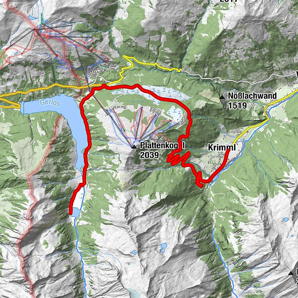
- Brief description
-
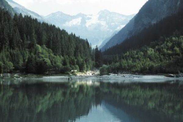
Herrliche Aussicht auf die Hohen Tauern mit der Reichenspitze und dem Gabler.
Landschaft: Wald, Stausee, Almwiesen; - Rating
-
- Starting point
-
Krimml
- Highest point
- 1,627 m
- Rest/Retreat
-
Gasthof Finkau
GPS Downloads


Surfaces
Asphalt
Gravel
Mountain paths
Single trails
Trial
Traffic
Other tours in the regions