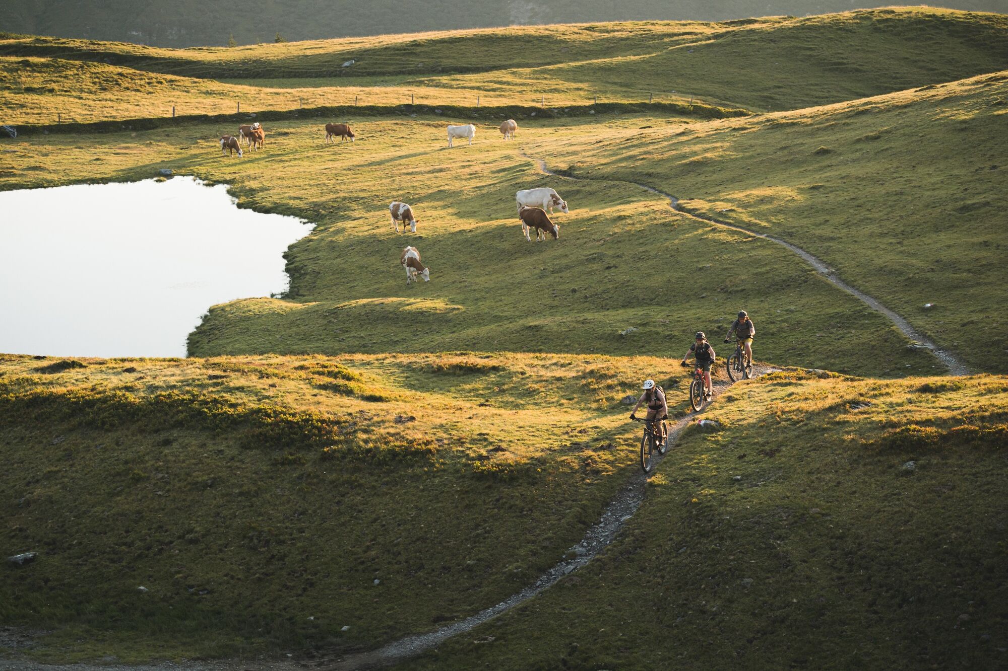
© Saalbach Hinterglemm - Moritz Ablinger
- Brief description
-
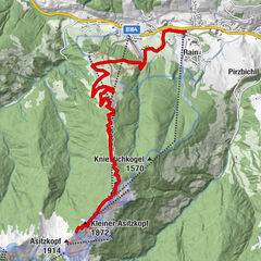
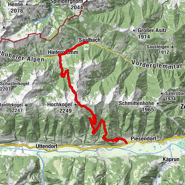
The only official mountainbike route from Saalbach Hinterglemm to the Salzach valley via Hacklbergalm and Klinglertörl.
- Route
-
SaalbachEibing1.1 kmAchrain1.8 kmMitteregglift2.3 kmHinterglemm3.3 kmHacklbergalm11.0 kmSeetörl (1,964 m)12.2 kmKlinglertörl (2,059 m)13.5 kmHochsonnberg Hütte15.2 kmJausenstation Nagelbauer27.5 kmBubenreuther Hütte (950 m)29.0 kmWalchen30.2 kmSt. Ulrich30.3 km
- Best season
-
JanFebMarAprMayJunJulAugSepOctNovDec
- Description
-
Coming from Saalbach, continue along the promenade into the valley to Hinterglemm. At the western end of the village, turn into the Schwarzachergraben and follow it for approx. 2.5 km. Then turn left towards Hacklbergeralm. After the hut, continue to the Hacklberger lakes and the Seetörl. Continue below the eastern flank of the Hochkogel to the Klinglertörl (highest point, shelter hut) and then descend to Walchen in the Salzach Valley.
- Highest point
- 2,053 m
- Height profile
-

-

-
AuthorThe tour Connection Glemmtal - Salzachtal (Crossing the Alps) is used by outdooractive.com provided.
GPS Downloads


Other tours in the regions