
- Brief description
-
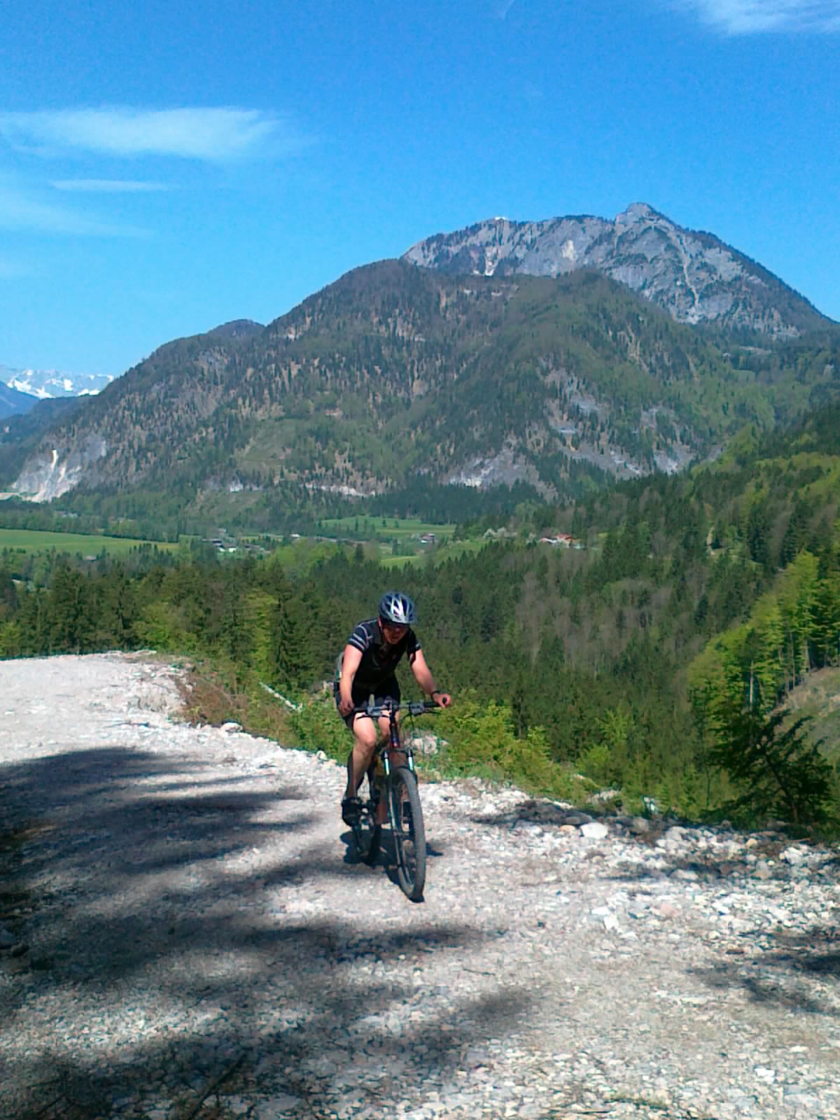
Moderately difficult mountain bike tour along numerous waterfalls.
- Difficulty
-
medium
- Rating
-
- Starting point
-
Abtenau: parking place east
- Route
-
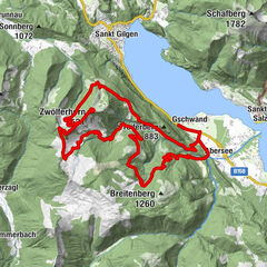
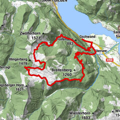
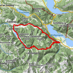
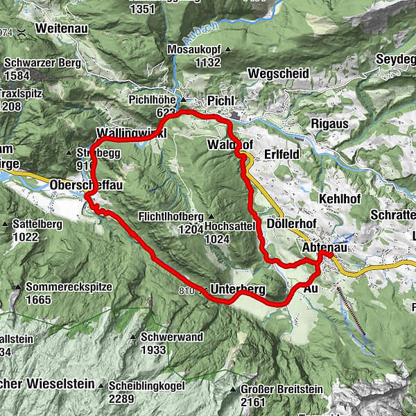
Markt0.2 kmAbtenau0.2 kmAu1.0 kmUnterberg3.2 kmWinklau8.3 kmEnglhart8.4 kmOberscheffau8.7 kmWallingwinkl10.9 kmPichl13.3 kmVoglau13.5 kmWaldhof14.7 kmAbtenau19.6 kmMarkt19.6 km
- Best season
-
JanFebMarAprMayJunJulAugSepOctNovDec
- Description
-
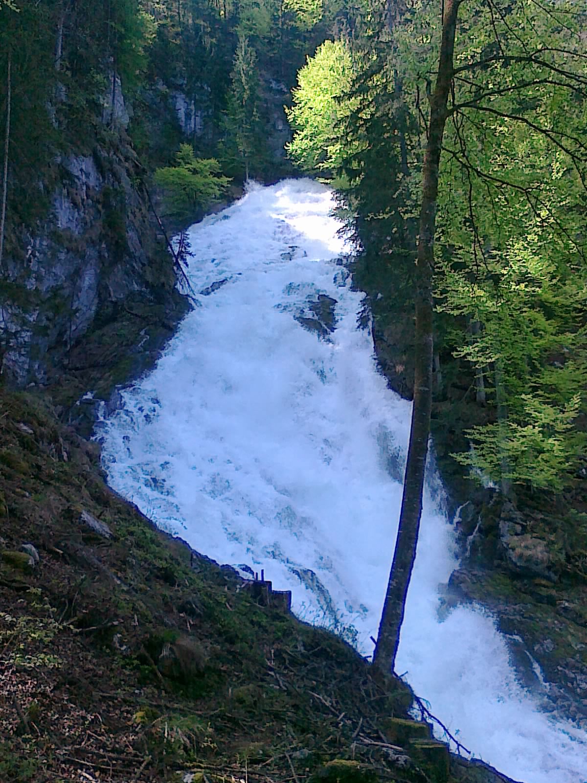
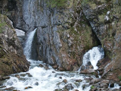
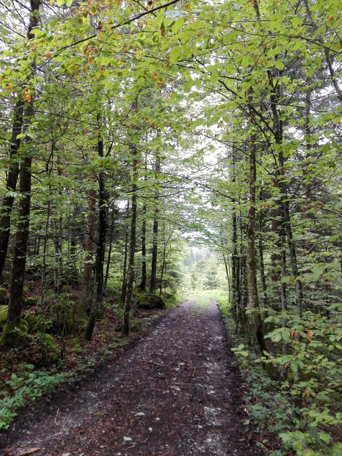
Wonderful mountain bike loop starting from the centre of Abtenau, which leads via the district of Au in the direction of Oberscheffau. A large part of the route leads steadily at the foot of the Tennengebirge through a quiet, idyllic forest. Highlights of this tour are several waterfalls, the Lammerklamm gorge and the Arlerhof local history museum.
- Directions
-
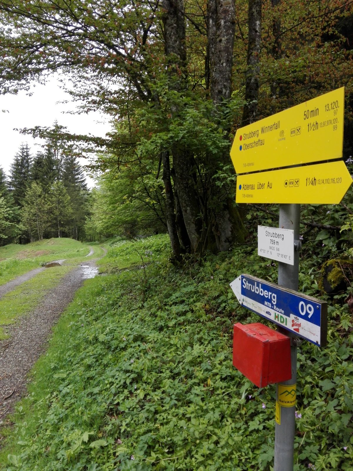
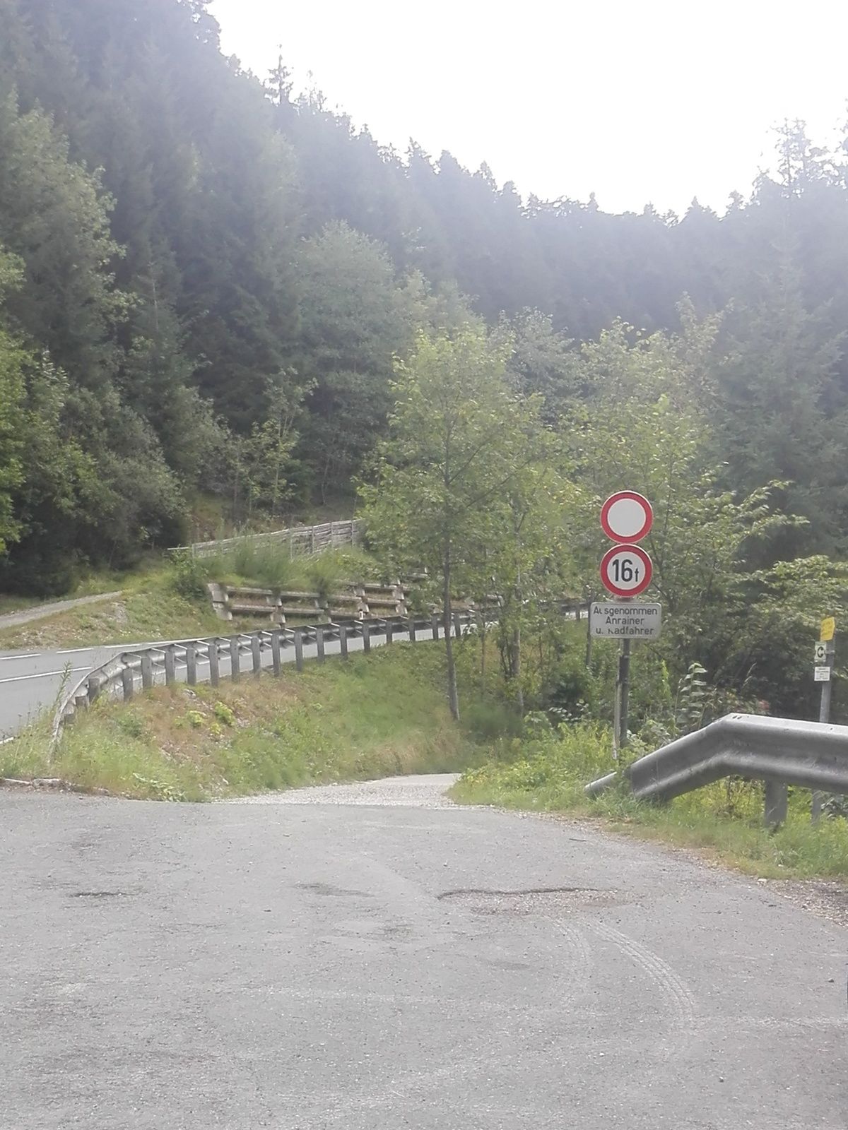
The wonderful mountain bike loop starts directly at the Ost car park and turns right onto the main road. Past the market square, turn left between Hotel Post and Raiffeisenbank onto a municipal road. At first, this road leads somewhat steeply uphill in the direction of the Au district. When you reach the highest point of this road (wonderful view of the Tennengebirge), follow it downhill to the Arlerhof (local history museum). Continue around the Arlstein to the turn-off towards Strubberg. When you reach the last farms, turn left at a wayside shrine onto a gravel path. Now the trail climbs a little steeper for a kilometre. You reach the saddle, the Strubberg, where the border column erected in 1550 separates the villages of Abtenau and Scheffau am Tennengebirge. From here, the route continues through the quiet forest to Oberscheffau.
At kilometre 5.6 you reach a crossroads, keep right here. On the left, the trail would branch off to the Winnerfall, which is only active during snowmelt and heavy rainfall. Continue, still on gravel, until you reach a farm (Raidenbauer) at km 7,5. Continue downhill on the asphalt road until you join the main road in Oberscheffau. Here you will find the Lammerklause country inn and the entrance to the natural monument Lammerklamm (walking time approx. 1 hour).
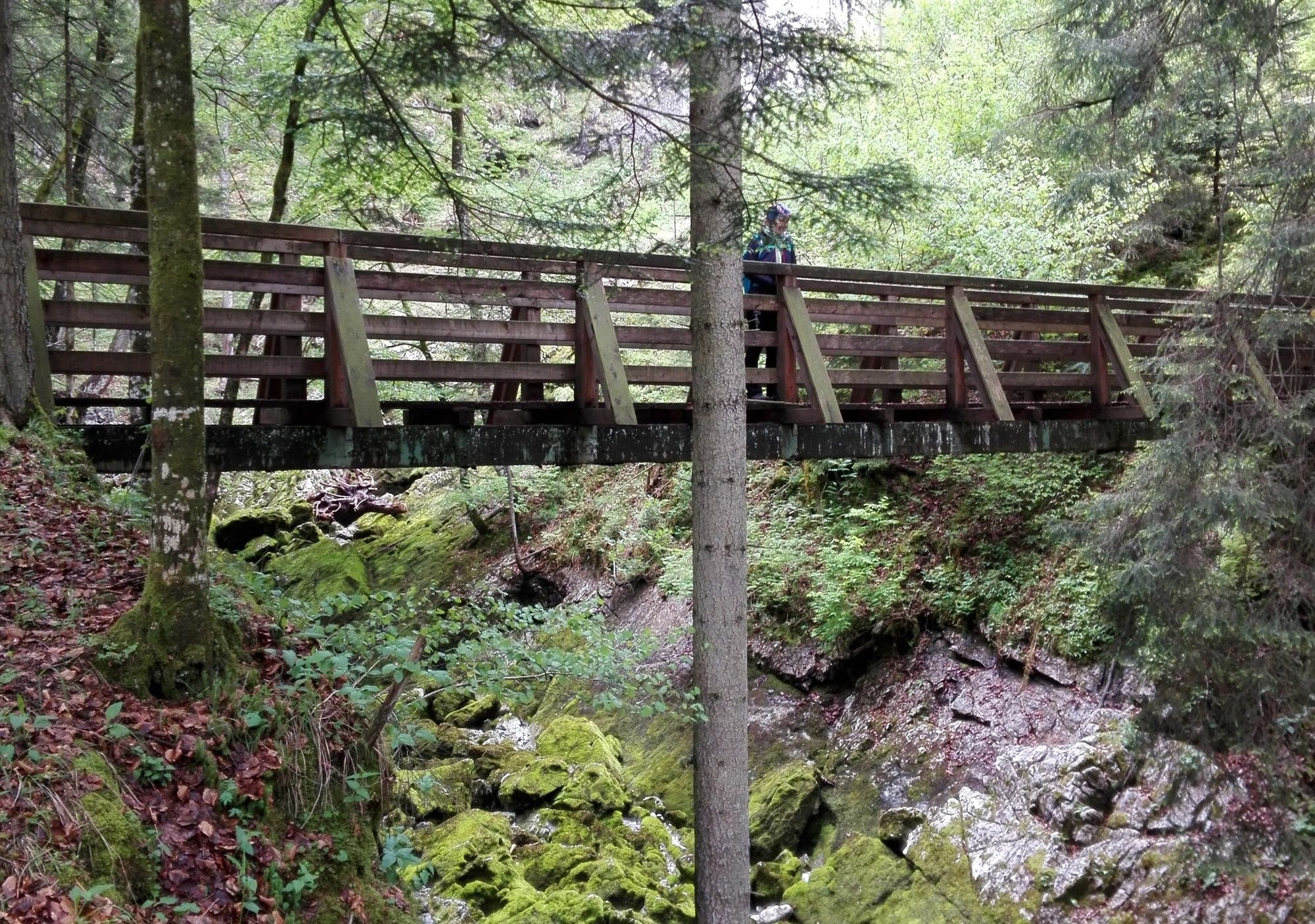
After the rest, use the cycle path in the direction of Abtenau and then take the road to Voglau (refreshment stop: Voglauerhof country inn). Shortly after Voglau (700 m) a gravel path branches off to the right from the main road. The trail continues slightly uphill along the Schwarzenbach stream. From kilometre 16.8, the trail is asphalted again. At kilometre 18, after crossing a small wooden bridge, the trail branches off to the left, past some houses and farms into a short stretch of forest, now somewhat steeper uphill, back to the starting point in the centre of Abtenau.
- Highest point
- 836 m
- Endpoint
-
Abtenau: parking place east
- Height profile
-

- Equipment
-
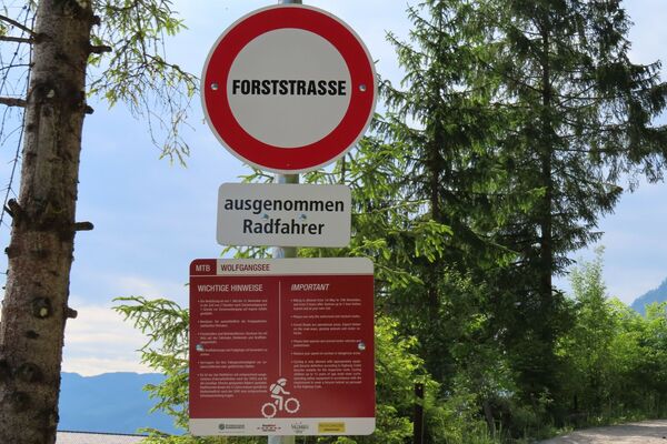
Use suitable mountain bike equipment and crash helmet.
- Safety instructions
-
Attention grazing cattle on the alpine pasture.
Observe the road traffic regulations.
- Tips
-
Arlerhof (Museum of Local History) takes you back to the pre-industrial working techniques of farmers in the Alpine countryside (note opening times).
Short detour to the Dachserfall or Tricklfall in the Au district. To do this, turn left at the former Aumühle inn and follow the path to behind the Kneipp facility. (approx. 1.5 kilometres, Dachserfall) or turn left behind the former Aumühle inn and follow the path for approx. 1 kilometre (Tricklfall).
Very worth seeing: the Winnerfall and the Mühlenweg near Scheffau. Turn left at the Engelhartwirt. Reachable in 15 minutes from here.
Visit the natural monument Lammerklamm (walking time approx. 1 hour).
Refreshment stops: Landgasthof Lammerklause, Gasthof Voglauerhof - Additional information
- Directions
-
Motorway A 10, exit Golling, on the federal road B 162 in the direction of Abtenau until Abtenau. Parking in the centre of the village at the east car park.
- Public transportation
- Parking
-
In Abtenau centre, car park east
-

-
AuthorThe tour TG12 Abtenau-Oberscheffau round is used by outdooractive.com provided.