- Brief description
-
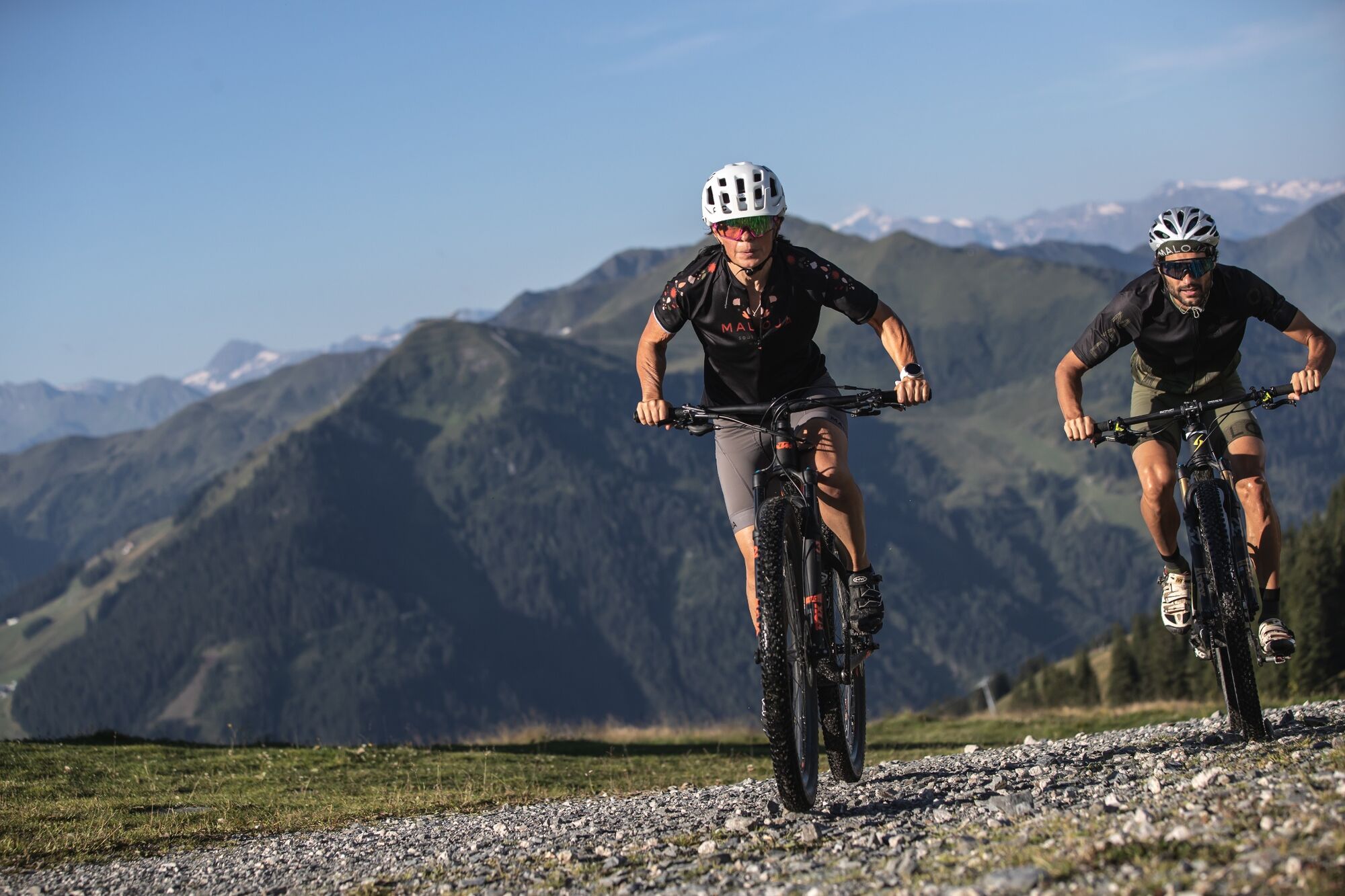
Varied loop with interesting trail variations.
- Difficulty
-
medium
- Rating
-
- Starting point
-
Schattberg X-press bottom station
- Route
-
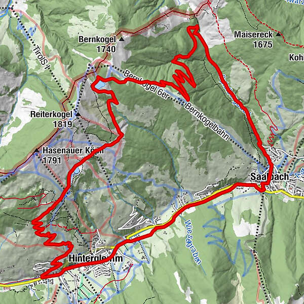
Saalbach0.2 kmReiteralm10.2 kmReiterkogelbahn11.4 kmWieseralm11.6 kmEdelweiss Alpenkino12.4 kmHinterglemm16.2 kmWieshoflift16.7 kmMitteregglift17.0 kmAchrain17.5 kmEibing18.1 kmSaalbach19.7 km
- Best season
-
JanFebMarAprMayJunJulAugSepOctNovDec
- Description
-
From the starting point at the Schattberg X-Press, head north through the centre of the village and then straight up along the Spielbergbach stream to just below Spielberghaus. After crossing the ski slope, you reach the highest point at just under 1,700 m above sea level. Shortly afterwards you reach the reservoir below the Wetterkreuz, which invites you to take a break with a fantastic panoramic view. The descent is now either via the forest path or via the chilling Wetterkreuz trail, both paths then meet again just before the Reiteralm. Continue to the lift station of the Reiterkogel cable car and from there in a few serpentines along the forest path or via the Blue Line or Pro Line down to Hinterglemm.
- Highest point
- 1,681 m
- Endpoint
-
Schattberg X-press bottom station
- Height profile
-

- Tips
-
Download the track sheet.


- Author
-
The tour SH 33 Finsterbach Tour is used by outdooractive.com provided.


Surfaces
General info
-
Saalbach Hinterglemm
430
-
Hochfilzen
141