


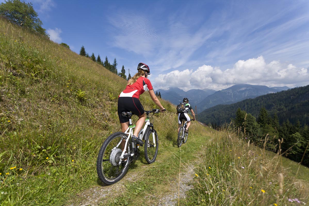
- Brief description
-
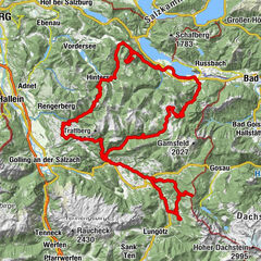
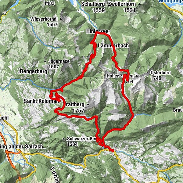
Extensive mountain bike tour around the Osterhorn group, past the Seewaldsee lake and through the wild Ackersbachtal valley.
- Difficulty
-
medium
- Rating
-
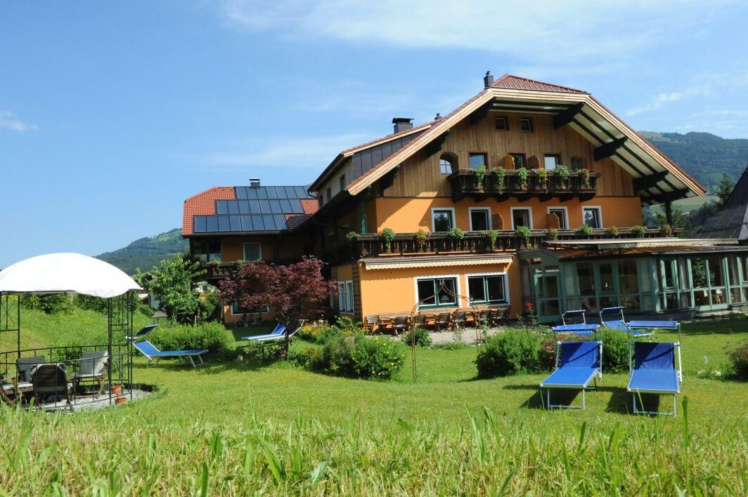
- Starting point
-
Abtenau-district Voglau, Voglauerhof
- Route
-
Voglau0.1 kmPichl0.2 kmPichlhöhe (623 m)1.3 kmAubachwasserfall1.3 kmGroßhornn15.7 kmTaugler Strubklamm22.3 kmTauglboden22.9 kmDaviden-Kapelle24.0 kmGrundbichlalm25.2 kmBergalm28.0 kmNeureithütte28.1 kmMühlviertel33.4 kmHeilige Leonhard und Georg34.4 kmHintersee (746 m)34.5 kmAlte Krämerei34.6 kmLämmerbach (801 m)37.1 kmPosch'nhütte41.2 kmAckersbackalm46.3 kmAubachwasserfall55.5 kmPichlhöhe (623 m)55.6 kmPichl56.7 kmVoglau56.8 km
- Best season
-
JanFebMarAprMayJunJulAugSepOctNovDec
- Description
-
This wonderful mountain bike tour runs first to the Seewaldsee nature reserve. Between Schmittenstein and Regenspitze, the route leads past various alpine pastures down to Hintersee. Heading into the valley along the Lämmerbach stream, you reach the saddle of the Genneralm, where you can enjoy the magnificent view. Through the Ackersbach valley you return to the starting point. This route is the most challenging, varied mountain bike tour in the Abtenau area - an absolute highlight of the mountain bike holiday.
- Directions
-
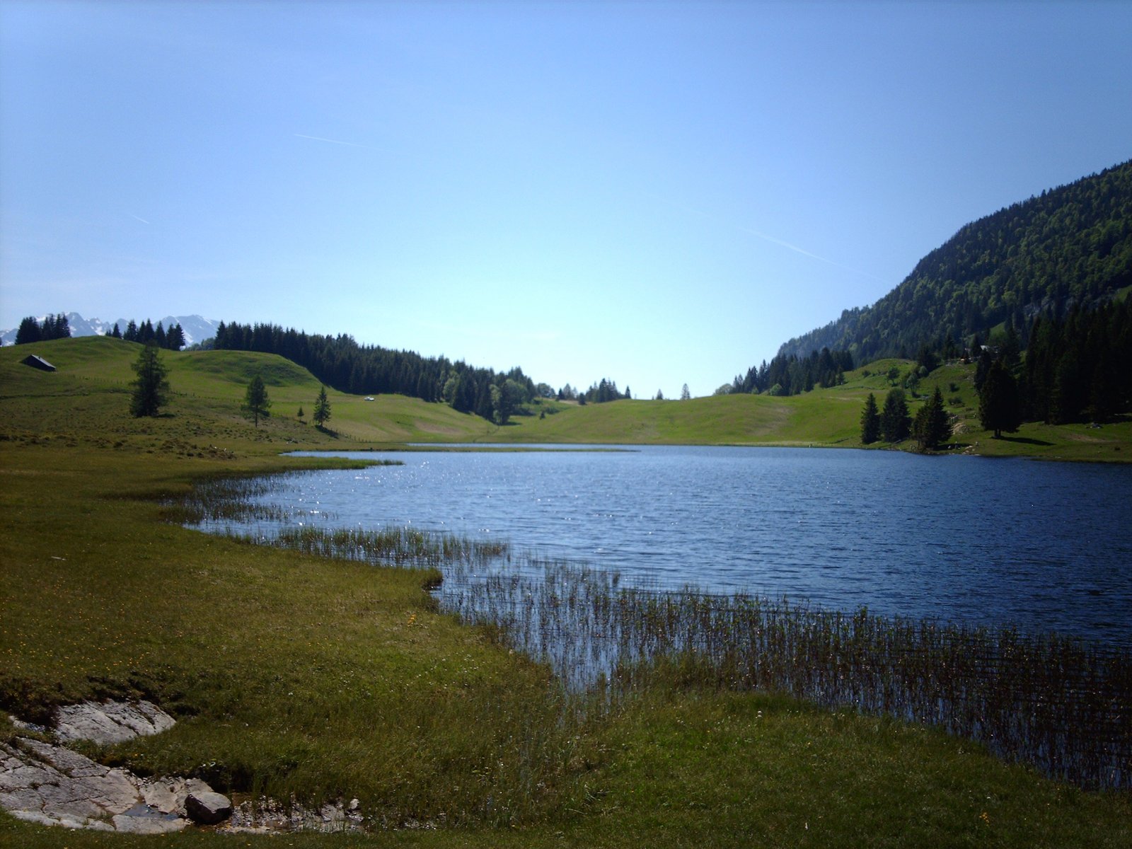
The tour begins directly at the inn Voglauerhof. After crossing the main road and the bridge over the Lammer, turn left. After 600 m uphill to the right, you pass an abandoned gravel pit. To the left past an old forester's lodge, later over a bridge, after 2.5 km there is a turn-off to the right towards Seewaldsee lake, Kühbichl, Brunnberg-farmer. Past the farms, you reach a short descent at kilometre 5.1. Afterwards, the trail continues up a gentle slope into the so-called Marchgraben (ditch). At kilometre 8.6, after a ridge, you reach the Seewaldsee (lake) nature reserve. Be sure to take a break here on one of the numerous benches or quench your hunger and thirst in the Auerhütte (hut) at the western end of the lake.
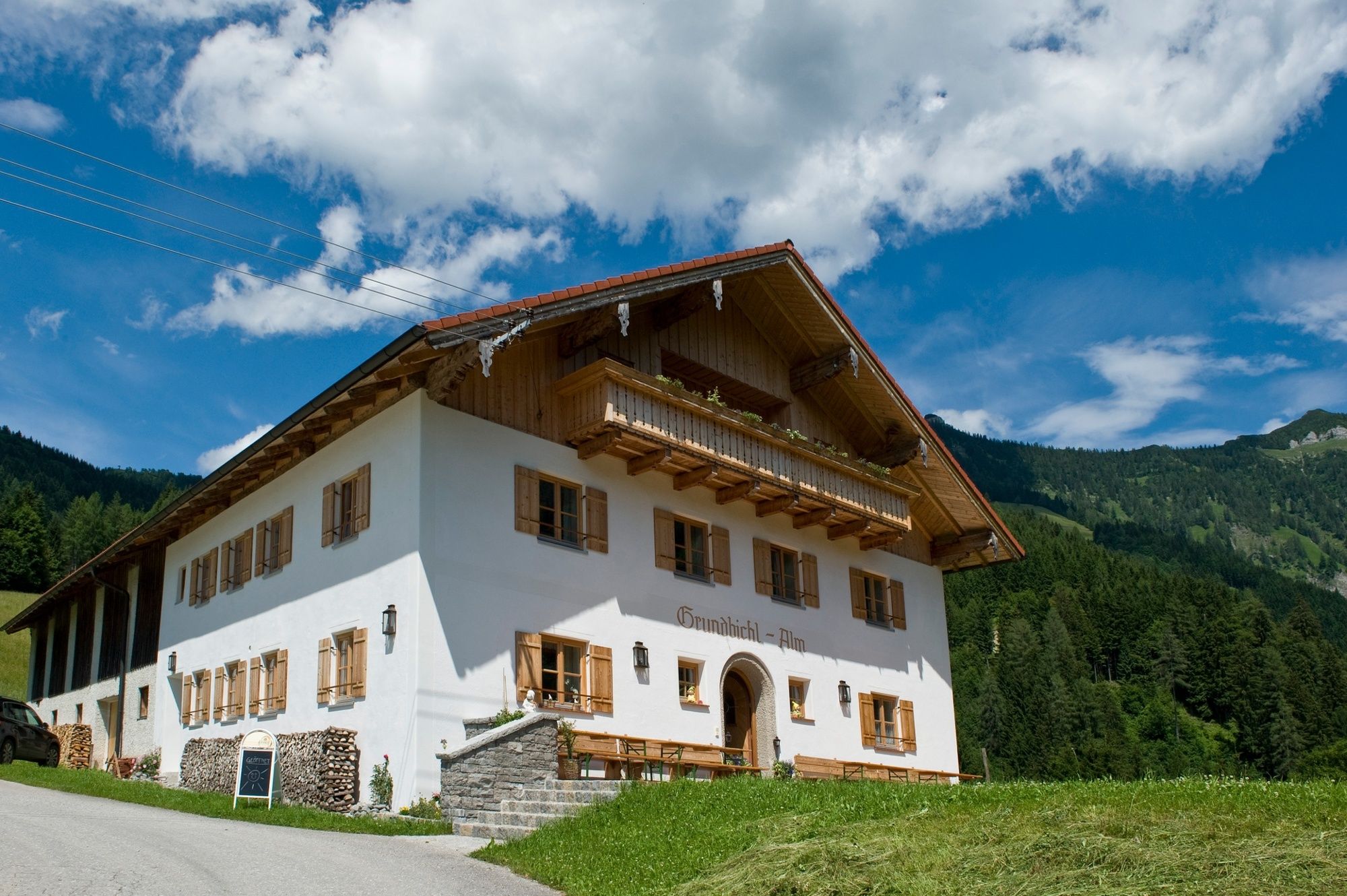
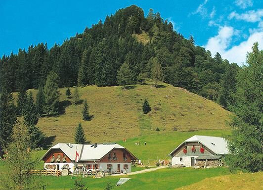
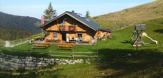
Continue, now on asphalt again, in a descent to the Seewald farmers. At kilometre 11.4, turn right towards Sommerau. Leave the turnoff towards Trattberg on the right and descend the road to the Vitalhotel Sommerau. At the junction below the hotel, turn right towards Bergalm and follow the road through the Strubklamm gorge. Later it gets a little steeper again, past the Grundbichl inn, you now continue on gravel to the Bergalm. Here we recommend a rest in the Bergalmhütte or the Neureithütte. The view of the Salzach valley and the Hoher Göll is fantastic.
Behind the Bergalm, turn left at a wayside shrine and follow the trail, later a forest path in several hairpin bends to Hintersee (kilometre 34.4). At the church in Hintersee, turn right and follow the road slightly uphill to Lämmerbach. From here, a steeper climb begins, but the last of the tour, to the Genneralm. At kilometre 41.8 you reach the highest point of the mountain bike tour (1325 m), the Genneralm, between Gennerhorn and Holzeck. The trail continues on an alpine path, later on a forest path and a forest road into the Ackersbachtal valley. Along the stream you ride through a narrow valley until you reach the old Postalm road. At this junction ( km 49.6), turn right downhill until you reach the approach road at an old forester's lodge. From here back to the starting point of the tour.
- Highest point
- 1,322 m
- Endpoint
-
Abtenau-district Voglau, Voglauerhof
- Height profile
-

- Equipment
-
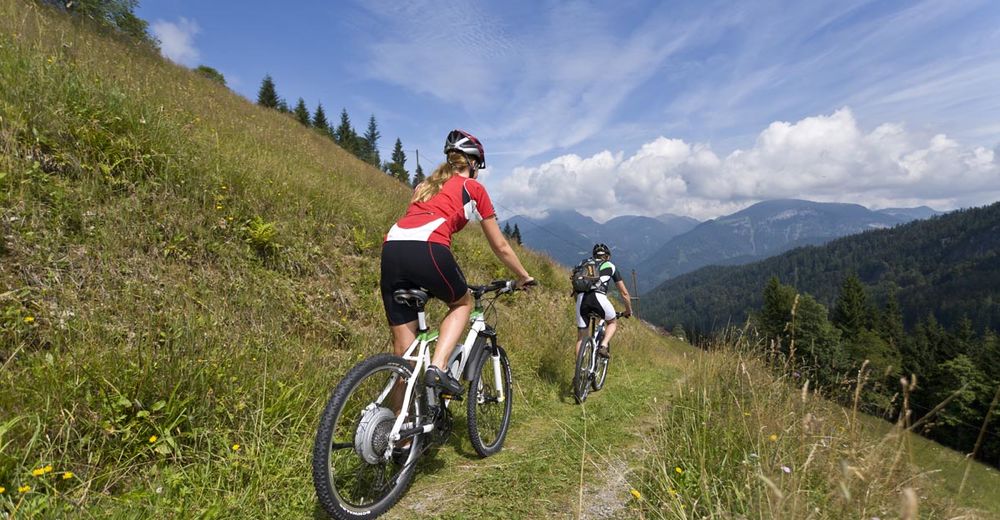
Use suitable mountain bike equipment and crash helmet.
- Safety instructions
-
Attention grazing cattle on the alpine pasture.
Observe the road traffic regulations.
A short pushing stretch on the descent into the Ackersbachtal.
- Tips
-
Download the route as a single map HERE!
Refreshing dip in the Seewaldsee lake
Short detour to the "Wilhelmskapelle" (Wilhelms Chapel)
The alpine huts along the route offer only local and homemade products.
Vantage point Bergalm: Fabulous view of the Salzach valley with the Hoher Göll mountain.
Bike & Hike: Detour to the Schmittenstein (1.5 hrs) Regenspitz (1 hr) or Gennerhorn (1 hr). - Additional information
- Directions
- Public transportation
- Parking


-

-
AuthorThe tour TG18 Osterhorn-round is used by outdooractive.com provided.


, Anfang")