© SLT-Foto Haiden

© SLT-Foto Haiden

© SLT-Foto Haiden

© SLT-Foto Haiden
- Brief description
-
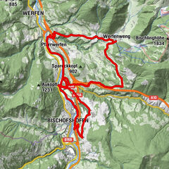
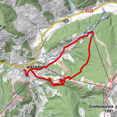
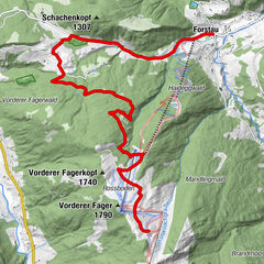
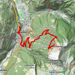
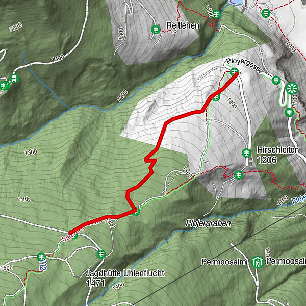
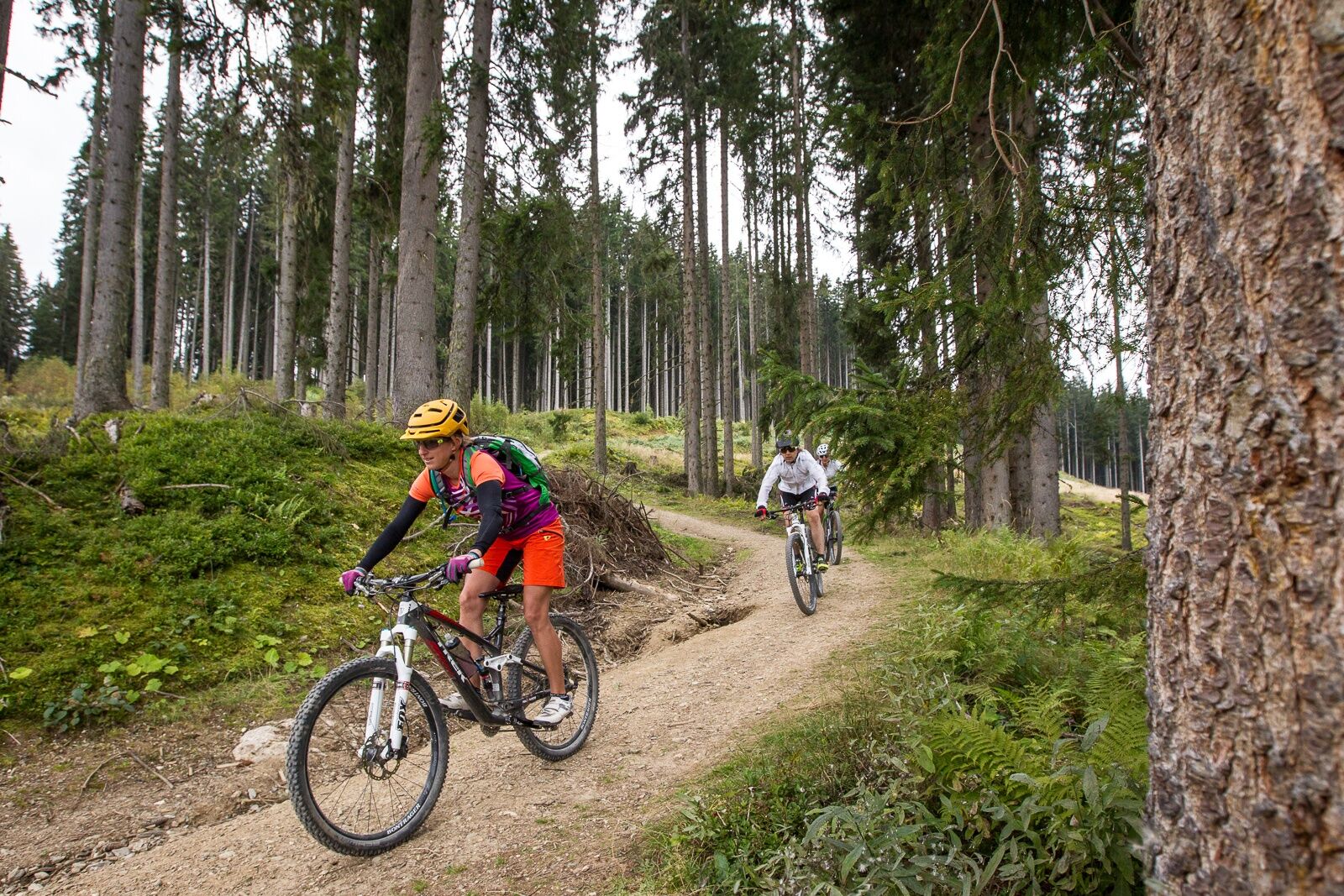
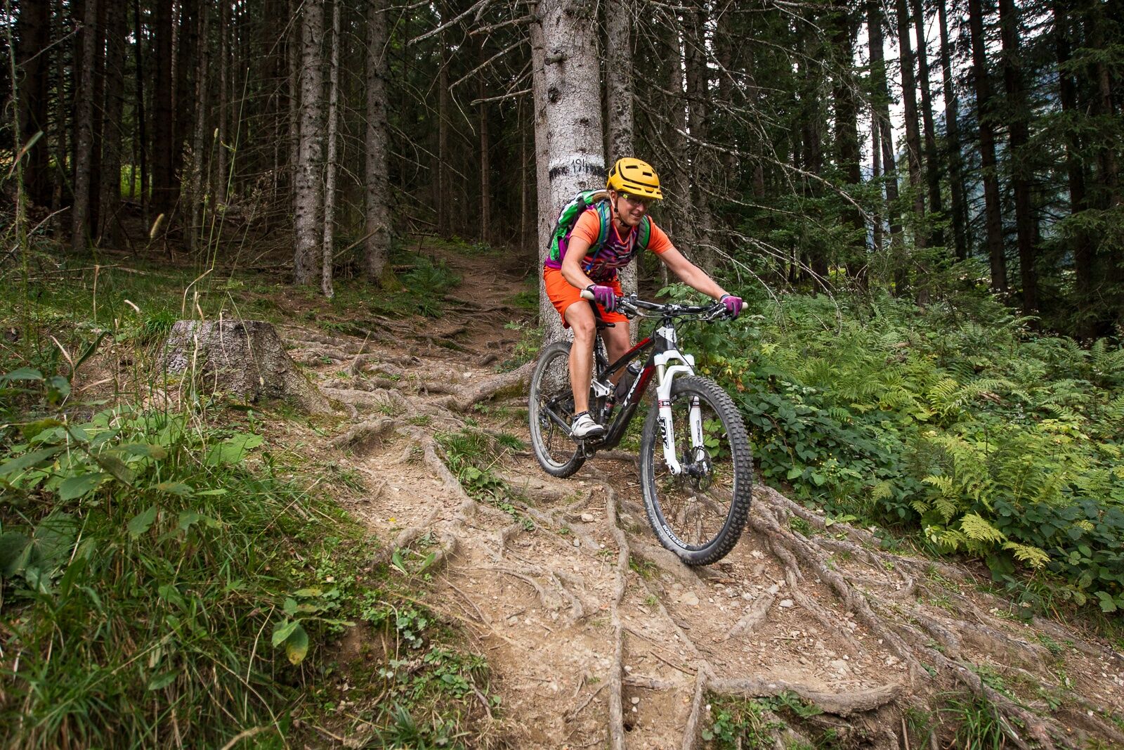
The Hirschleit Trail is part of the "Kleinarler Runde" and is a legal and official single trail with a length of about 1.2 km.
- Difficulty
-
difficult
- Rating
-
- Route
-
Kesselfall1.1 km
- Best season
-
JanFebMarAprMayJunJulAugSepOctNovDec
- Description
-
The trail begins about 300 meters below the "Kleinarler Hütte" (Kurzeggalm). It is part of the "Kleinarler Runde" and a legal and official single trail of the Salzburg mountain bike system (Wagrain-Kleinarl region) with a length of about 1.2 km.
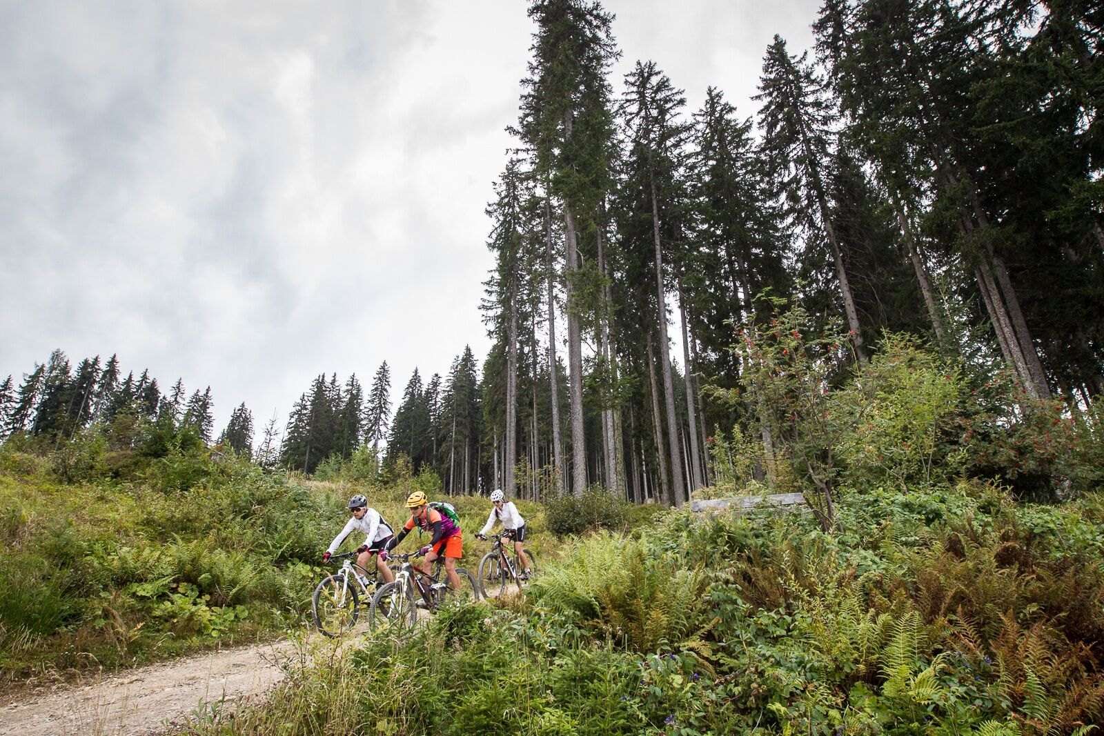
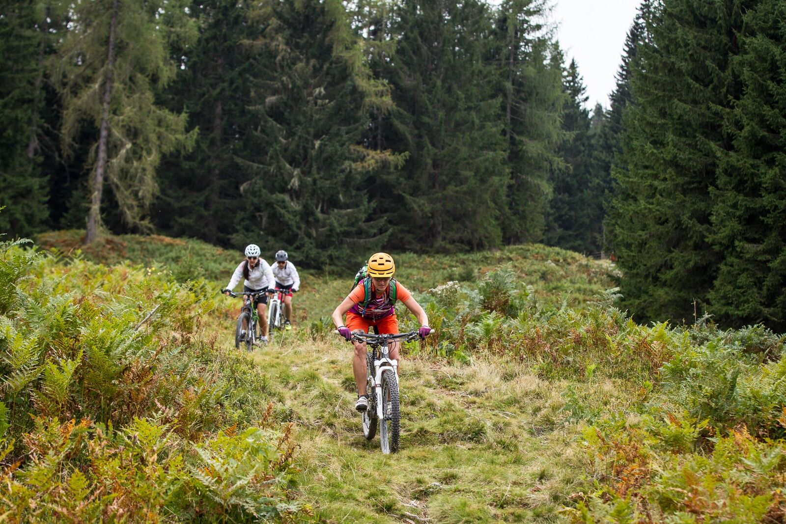
There are some roots along the way, but generally it's not too technical.
Please note that hikers also use this path.
- Highest point
- 1,435 m
- Height profile
-

-

-
AuthorThe tour Hirschleit-Trail is used by outdooractive.com provided.
GPS Downloads


Surfaces
Trial
Other tours in the regions