- Brief description
-
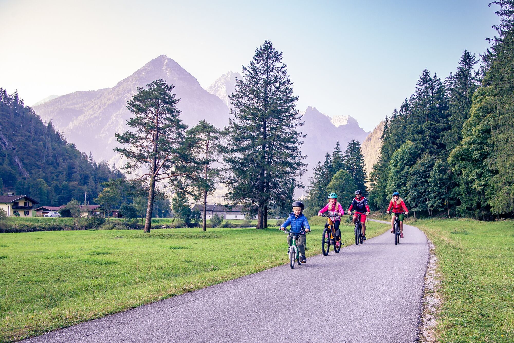
Bike or e-bike tour from Weißbach via St. Martin, to the Litzlalm and back to Weißbach
- Difficulty
-
medium
- Rating
-
- Starting point
-
Weißbach near Lofer
- Route
-
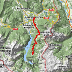
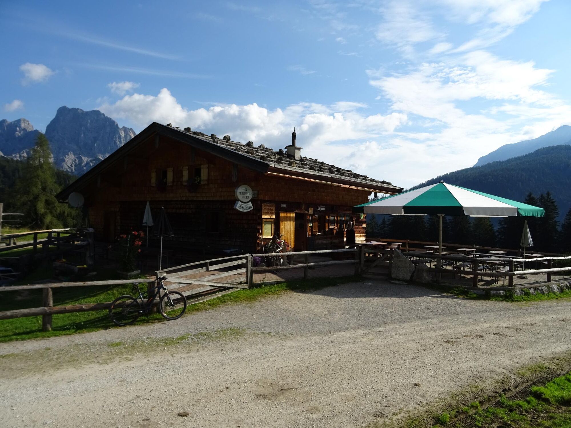
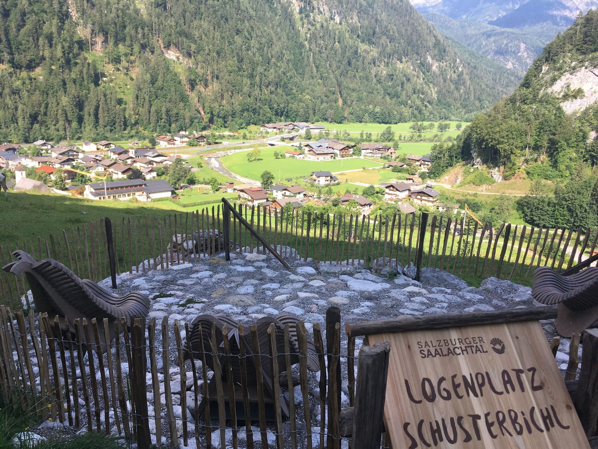
Oberweißbach0.1 kmUnterweißbach0.2 kmWeißbach bei Lofer0.3 kmLandgasthof Seisenbergklamm0.4 kmGasthaus Lamprechtshöhle1.1 kmDürnberger3.9 kmObsthurn5.3 kmEiblkreuzung14.6 kmHufnagei (1,267 m)15.3 kmLitzlalm Querleit-Kaser16.2 kmHirschbichl18.3 kmHirschbichl-Pass (1,183 m)18.5 kmPoint18.6 kmReubel19.0 kmStockklaus21.8 kmGasthof Lohfeyer22.2 kmSeisenbergklamm23.9 kmOberweißbach24.9 kmWeißbach bei Lofer25.0 km
- Best season
-
JanFebMarAprMayJunJulAugSepOctNovDec
- Description
-
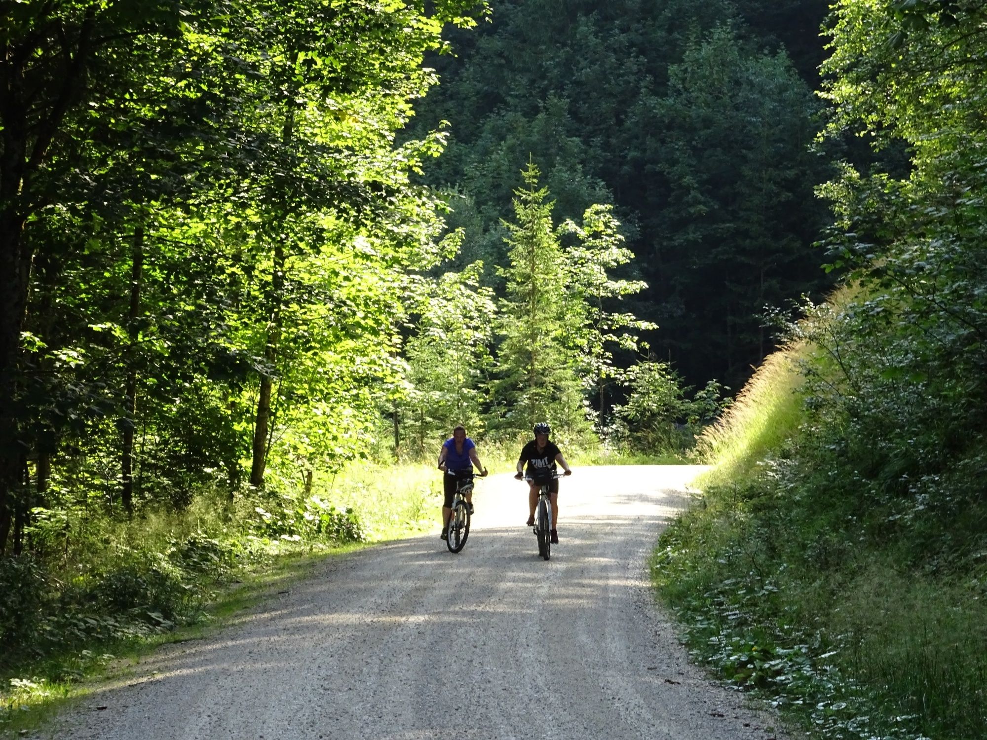
After about 8 kilometres along the Tauern Cycle Path, the first ascent begins on this tour. Via the St. Martiner Hirschbichl, the Möserwaldstraße and the Eibl Chapel you reach the highest point of the tour at the Litzlalm. From here you return to the start of the tour via the Hirschbichllandesstraße.
Tour SASA18 in the bike map Salzburger Saalachtal
- Directions
-
Weißbach - St. Martin - Wildental - Möserwald - Eiblkapelle - Litzlalm - Hirschbichl - Gasthof Lohfeyer - Weißbach
- Highest point
- 1,318 m
- Endpoint
-
Weißbach near Lofer
- Height profile
-

- Equipment
-
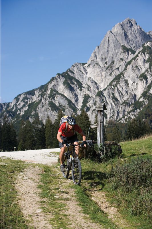
E-mountain bike or mountain bike equipment
- Tips
-
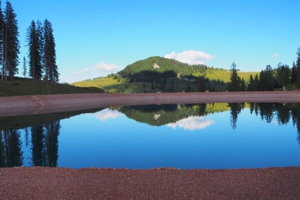
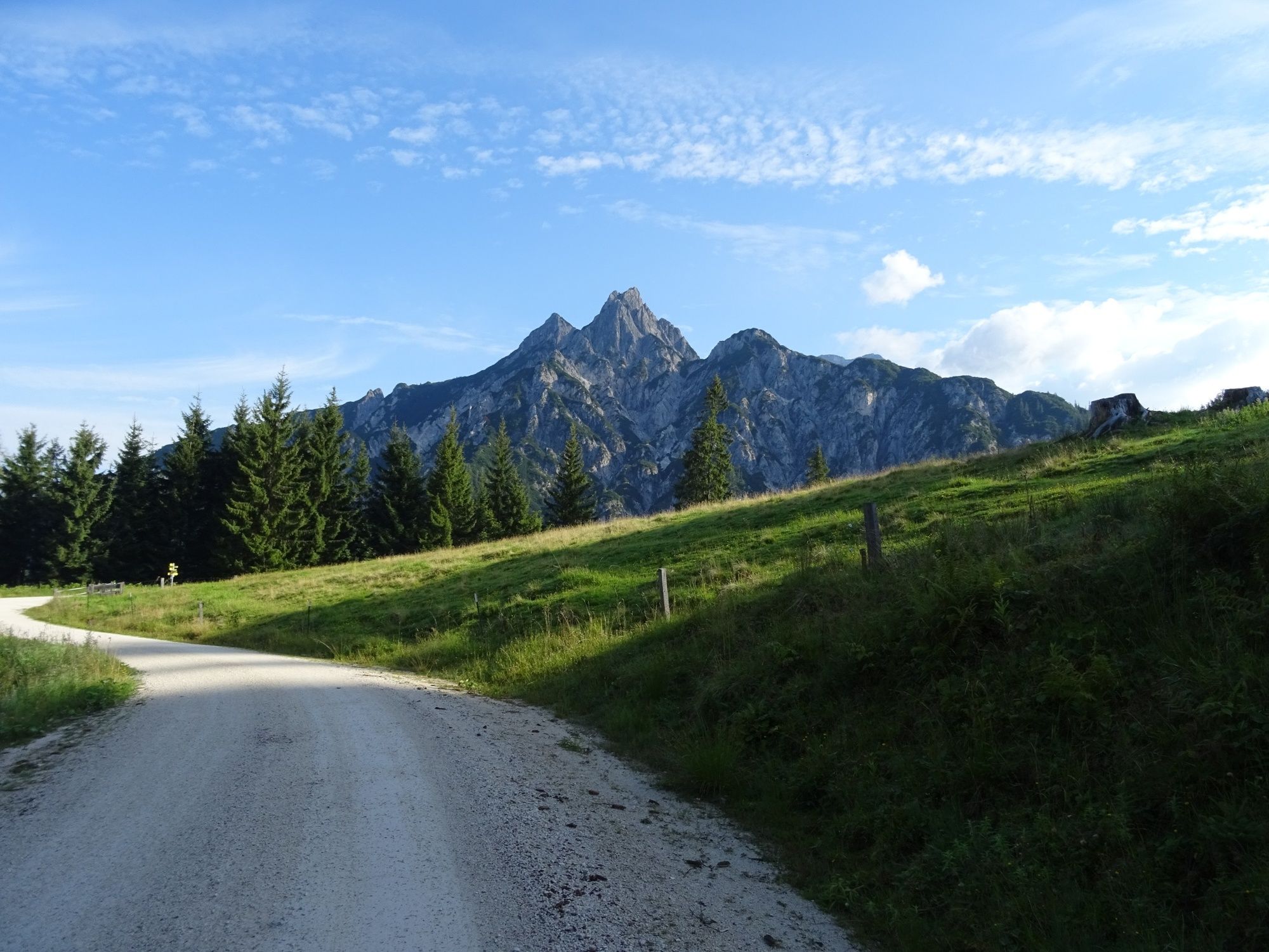
The scenic beauty of the secluded Wildental valley is unique and enjoy the view from the Eibl Chapel.
- Directions
-
Via the B311 (coming from Lofer or Saalfelden) to the centre of Weißbach bei Lofer, directly on the main road.
- Public transportation
- Parking
-
Possible in Weißbach bei Lofer (subject to a fee)

-

-
AuthorThe tour Gerhardstein Tour is used by outdooractive.com provided.
GPS Downloads


General info
Refreshment stop
A lot of view
Other tours in the regions