
- Brief description
-
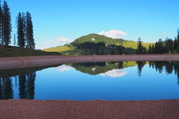
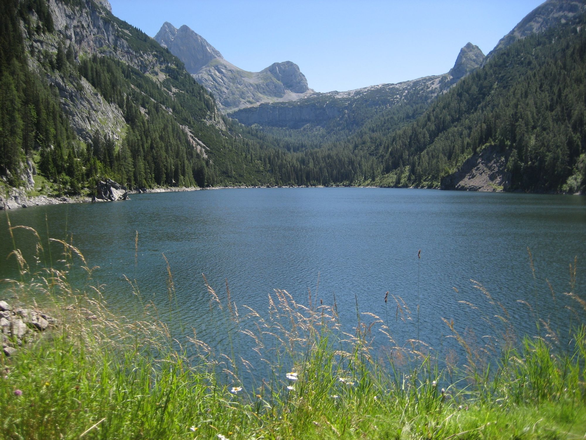
Beautiful bike tour from Weißbach via the Kallbrunnalm to the Dießbachstausee.
- Difficulty
-
medium
- Rating
-
- Route
-
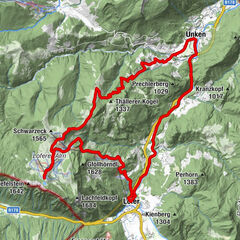
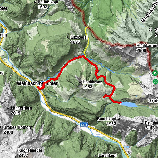
Weißbach bei LoferUnterweißbach0.0 kmOberweißbach0.1 kmSeisenbergklamm1.3 kmGasthof Lohfeyer2.9 kmStockklaus3.3 kmKallbrunnalm11.9 kmStockklaus18.4 kmGasthof Lohfeyer18.9 kmSeisenbergklamm20.6 kmOberweißbach21.8 kmUnterweißbach21.9 kmWeißbach bei Lofer21.9 km
- Best season
-
JanFebMarAprMayJunJulAugSepOctNovDec
- Description
-
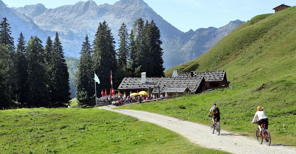
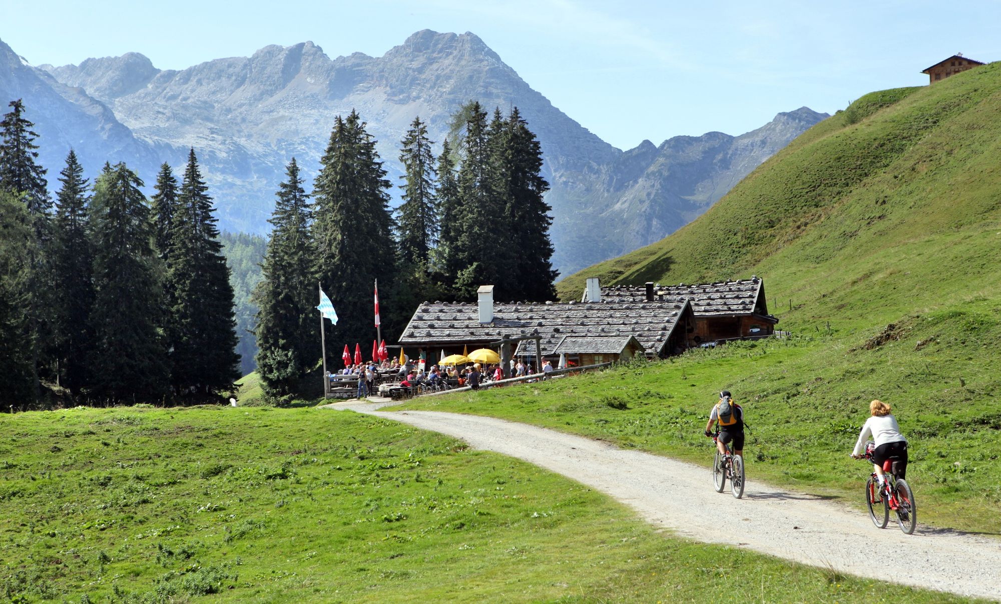
This beautiful bike tour starts in Weißbach and first leads along the asphalt Hirschbichl Landesstraße and then along the forest path to the Kallbrunnalm. Before stopping at the Kallbrunnalm snack station, you can take a short detour to the beautiful Dießbach reservoir.The return trip is only permitted via the same route and not via Pürzlbach!
Tour SASA 15 in the bike map Salzburger Saalachtal
- Highest point
- 1,468 m
- Endpoint
-
Weißbach bei Lofer
- Height profile
-

- Tips
-
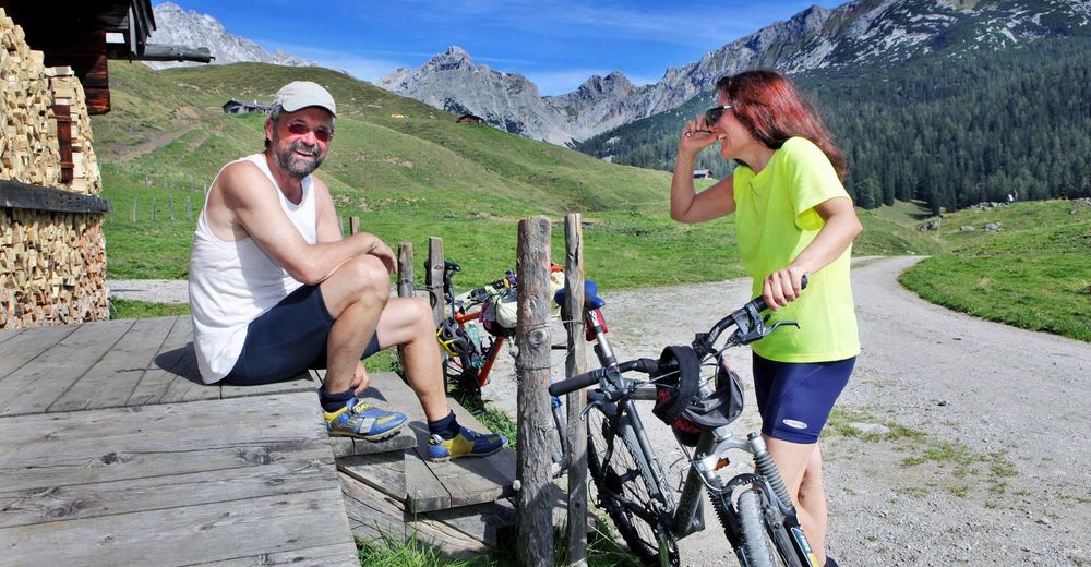
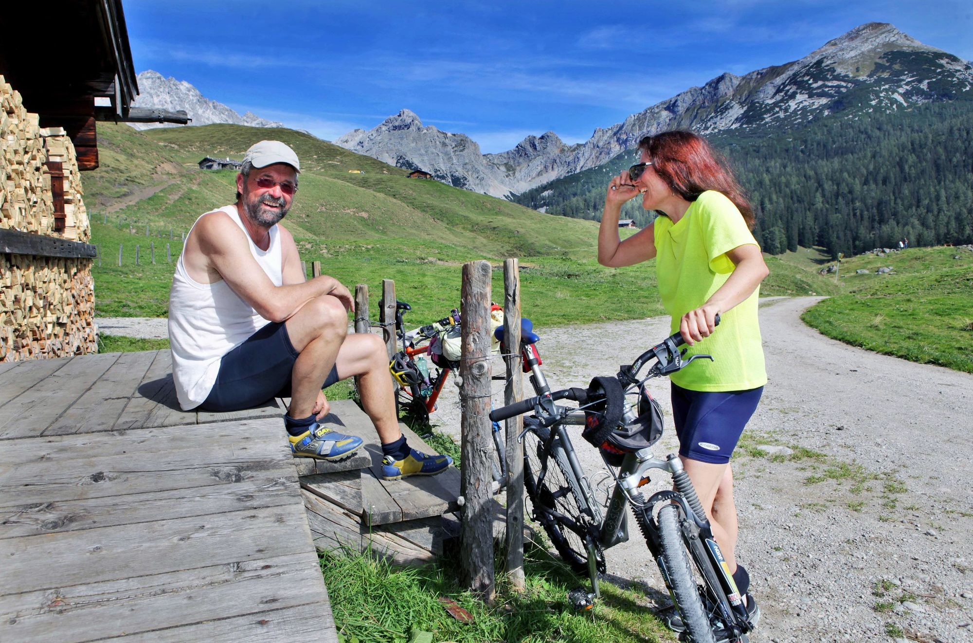
A stop at the Jausenstation Kallbrunnalm or the Käsehütte is a must on this tour


-

-
AuthorThe tour Dießbach dam tour is used by outdooractive.com provided.
GPS Downloads


General info
Refreshment stop
Other tours in the regions