
- Brief description
-
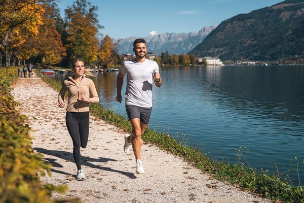
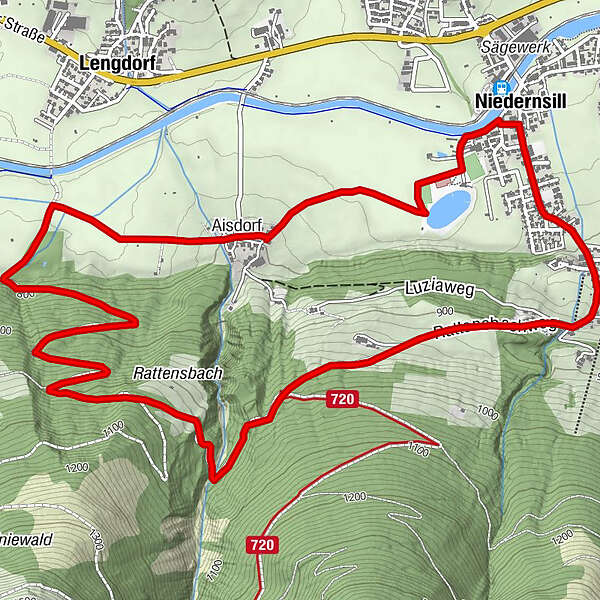
A somewhat challenging trail running route along paths through meadows and forest.
- Difficulty
-
medium
- Rating
-
- Starting point
-
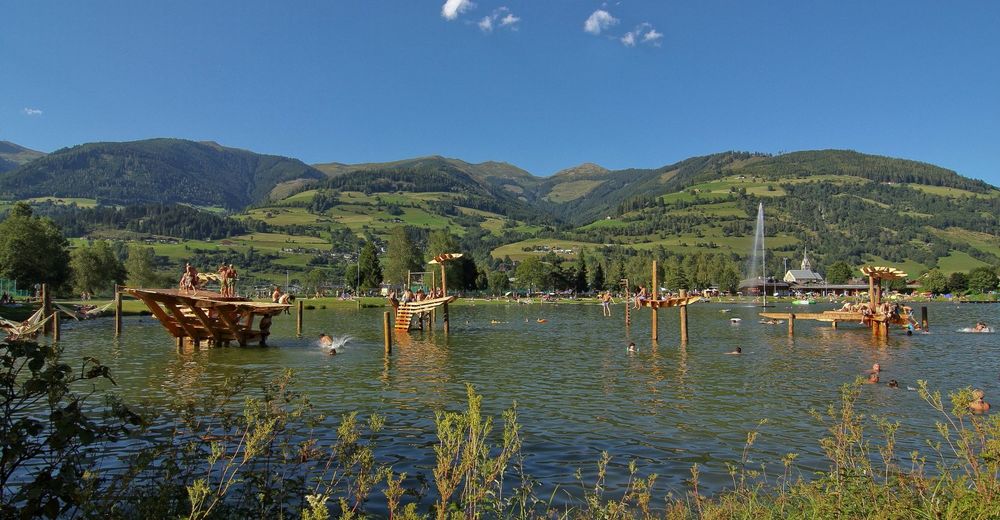
Car park leisure area / bathing lake
- Route
-
NiedernsillAisdorf1.4 kmCafe Zur Pinzgauerin7.8 kmPfarrkirche hl. Luzia8.0 kmNiedernsill8.1 km
- Best season
-
JanFebMarAprMayJunJulAugSepOctNovDec
- Description
-
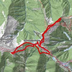
The Lengbachrunde leads past the bathing lake to Lengdorf and over the shady side of the Salzach valley back to Niedernsill.
- Directions
-
Run from the car park towards the bathing lake area, turn right shortly before and follow the meadow path to Aisdorf. Continue straight ahead along the field path in the direction of Lengdorf. Turn left at the fork in the road and follow the forest path, past the Burgboden ground, to the Rattensbachweg. Continue to the crossroads, turn left into Zillerstrasse and return to the starting point along the roads Dorfstraße and Kirchgasse.
- Highest point
- 1,042 m
- Endpoint
-
Car park leisure area / bathing lake
- Height profile
-

- Equipment
-
Trail running shoes, light & breathable clothing, wind/rain jacket, backpack or running waistcoat, poles, drink (water, energy drink), food (energy bars, fruits, gels), headlamp (recommended), sun protection, first aid kit (emergency blanket, blister plaster, …), mobile phone, map
- Safety instructions
-
Dear trail runners!
We hope that the snacks and drinks you take with you on your route will give you the strength to carry back the packaging material and empty cans and bottles.The running, walking, ... off the marked routes/paths is strictly forbidden.
We kindly ask you to observe the Fair Play & Rules of Conduct!
Fairness and respect for each other are the basis for a common togetherness and the protection of the different interests in the nature area!
- Tips
-
Start slowly and warm up to prepare your body for uneven terrain. Run at your own pace and don't overdo it.
- Additional information
- Public transportation
- Parking
-
Sufficient parking available.


-

-
AuthorThe tour Trail running: LENGBERGRUNDE Niedernsill is used by outdooractive.com provided.