- Brief description
-
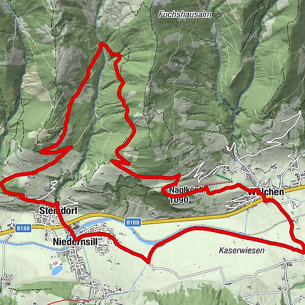
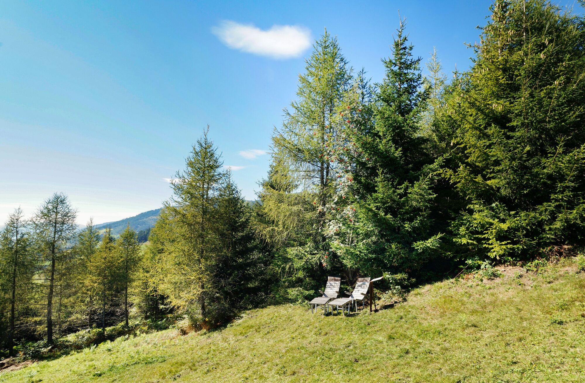
The trail runs through forest and meadows and past the legendary Naglköpfl chapel.
- Difficulty
-
medium
- Rating
-
- Starting point
-
Car park Steindorf
- Route
-
SteindorfGaisbichl1.7 kmJausenstation Nagelbauer9.9 kmNaglköpfl (1,090 m)10.2 kmWalchen12.3 kmJesdorf17.3 kmNiedernsill18.1 kmSteindorf18.7 km
- Best season
-
JanFebMarAprMayJunJulAugSepOctNovDec
- Description
-
This tour begins with an ascent of about 5.6 km, then it goes downhill into the valley and over the flat valley floor back to the starting point in Niedernsill.
- Directions
-
From the car park run uphill the road via Gaisbichl to Hochprack. From the barrier follow the forest road, at the fork straight on via Röderlehen to Naglbauer. From here follow the Kulturlandschaftsweg trail downhill to Walchen. In Kehlbachgasse turn right into Bachweg and continue through the underpass. Follow the road to the Hummersdorfer bridge, turn right and follow the path along the Salzach river to the dog training area in Niedernsill. Turn right at the bridge and continue along the Tauern Cycle Path to the tourist office. Cross the Salzach river bridge and take the underpass back to the starting point.
- Highest point
- 1,368 m
- Endpoint
-
Car park Steindorf
- Height profile
-

- Equipment
-
Trail running shoes, light & breathable clothing, wind/rain jacket, backpack or running waistcoat, poles, drink (water, energy drink), food (energy bars, fruits, gels), headlamp (recommended), sun protection, first aid kit (emergency blanket, blister plaster, …), mobile phone, map
- Safety instructions
-
Dear trail runners!
We hope that the snacks and drinks you take with you on your route will give you the strength to carry back the packaging material and empty cans and bottles.The running, walking, ... off the marked routes/paths is strictly forbidden.
We kindly ask you to observe the Fair Play & Rules of Conduct!
Fairness and respect for each other are the basis for a common togetherness and the protection of the different interests in the nature area!
- Tips
-
Start slowly and warm up to prepare your body for uneven terrain. Run at your own pace and don't overdo it.
- Additional information
- Public transportation
- Parking
-
Car park available.
-

-
AuthorThe tour Trail running: HOCHPRACKRUNDE via Hummersdorf Niedernsill is used by outdooractive.com provided.