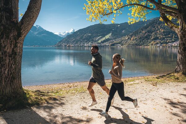
- Brief description
-
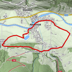
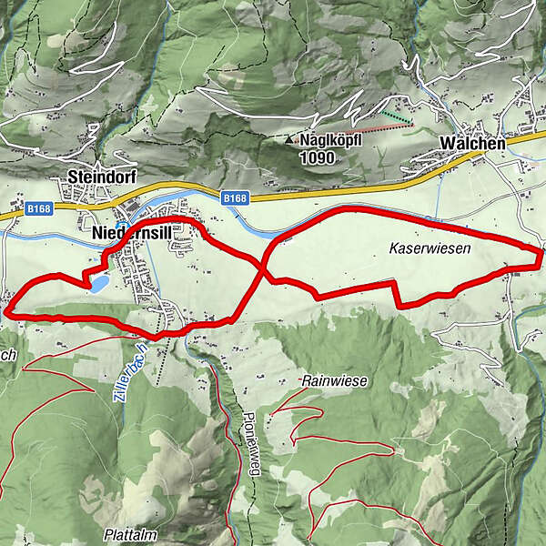
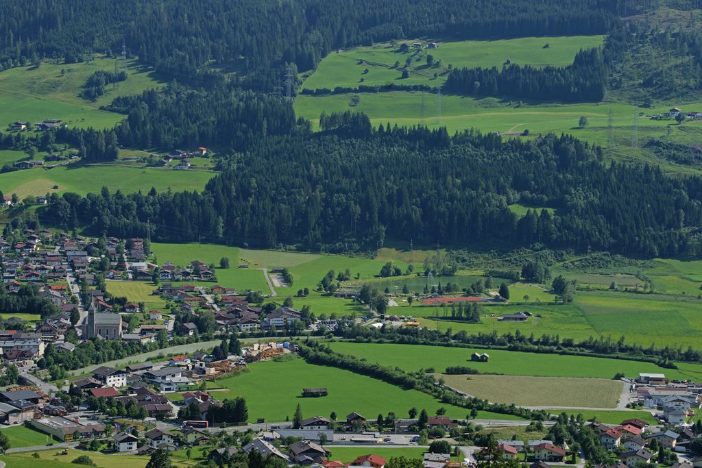
The Herbstlauf circuit starts in Niedernsill and leads over the flat Salzach valley floor to Hummersdorf/Piesendorf and back.
- Difficulty
-
medium
- Rating
-
- Starting point
-
Car park leisure area
- Route
-
Pfarrkirche hl. Luzia0.1 kmNiedernsill0.2 kmJesdorf0.7 kmHummersdorf4.3 kmAisdorf10.8 kmNiedernsill12.1 km
- Best season
-
JanFebMarAprMayJunJulAugSepOctNovDec
- Description
-
This route is named after the traditional Niedernsill Herbstlauf run, which takes place every year on 26th October.
- Directions
-
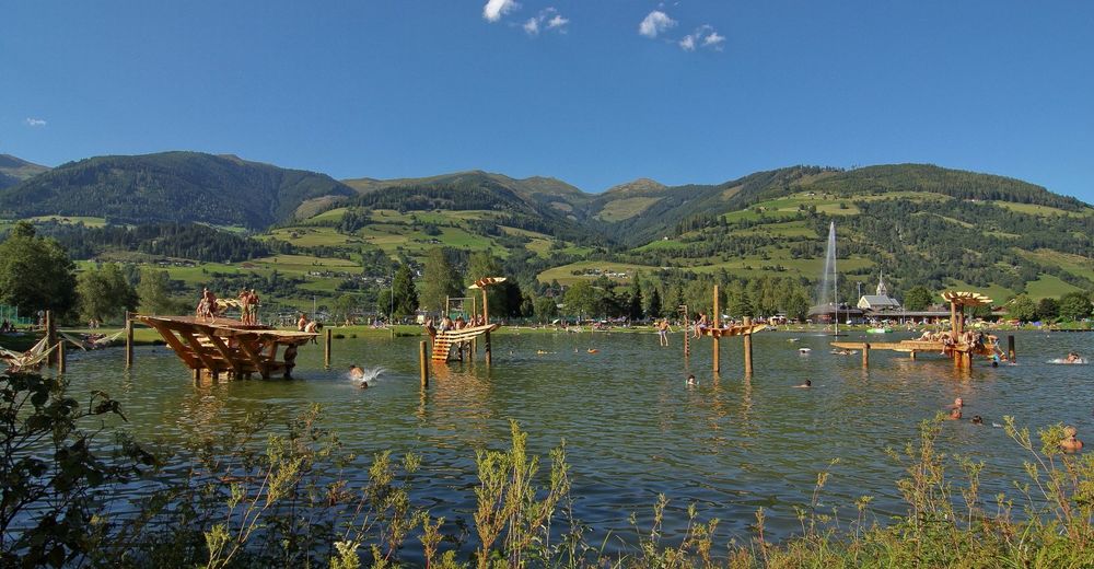
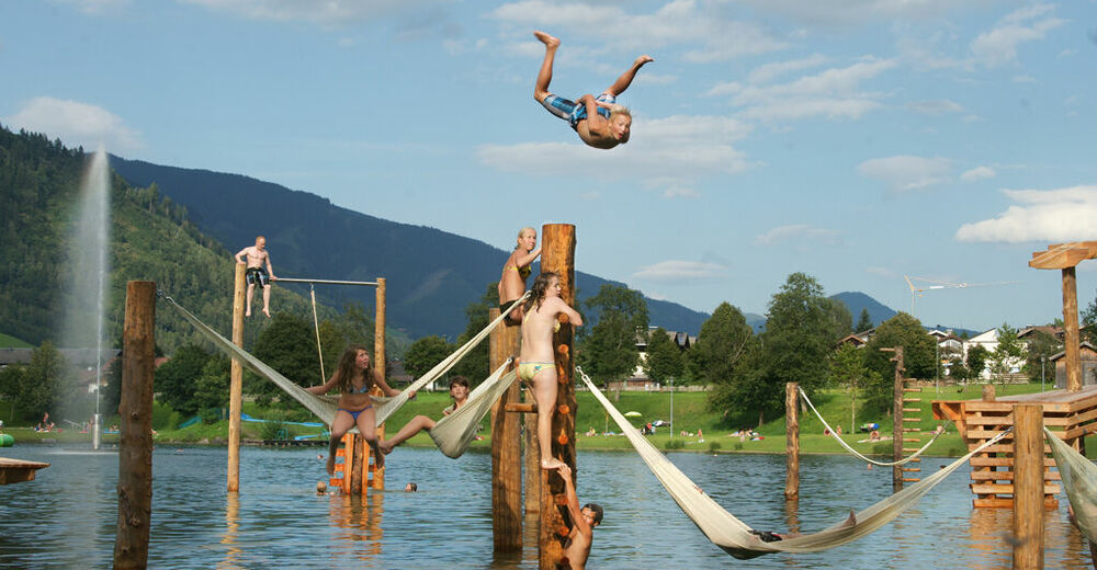
From the car park follow the Tauern Cycle Path eastwards to the Hummersdorf bridge. Turn left onto the field path. Follow the field path along the Salzach river back to Niedernsill until you reach the dog training area. Continue straight on into Erlachweg, Schlossergasse and Rattensbachweg. Turn right into Luziaweg and follow it to the fork. Finally, take the hiking tail to Aisdorf and the meadow path past the bathing lake back to the starting point.
- Highest point
- 869 m
- Endpoint
-
Car park leisure area
- Height profile
-

- Equipment
-
Running shoes, running clothes, drinks, good mood & motivation
- Safety instructions
-
Dear nature lovers!
We hope that the snacks and drinks you take with you on your run will give you the strength to carry back the packaging and empty cans and bottles.We kindly ask you to observe the Fair Play & Rules of Conduct!
Fairness and respect for each other are the basis for a common togetherness and the protection of the different interests in the nature area!
- Additional information
- Public transportation
- Parking
-
Sufficient parking available.

-

-
AuthorThe tour Niedernsill: Herbstlaufrunde is used by outdooractive.com provided.