Hofpürglhütte - Südwandhütte | Sun Trail Dachstein: Stage 01


- Brief description
-
1st stage of the 3-day tour "Dachstein Loop", 2nd stage of the 8-day-hike "Dachstein Circular trail".
- Difficulty
-
medium
- Rating
-
- Starting point
-
Hofalmen, Filzmoos
- Route
-
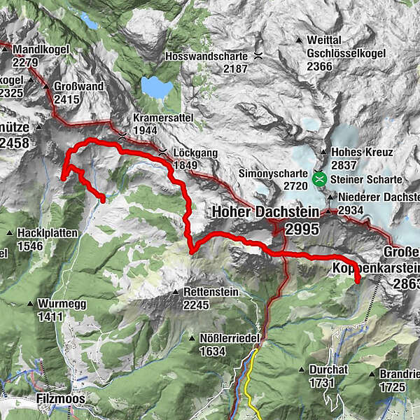
OberhofalmUnterhofalm0.1 kmHofpürglhütte2.1 kmTor (2,029 m)10.8 kmDachsteinsüdwandhütte14.1 km
- Best season
-
JanFebMarAprMayJunJulAugSepOctNovDec
- Description
-
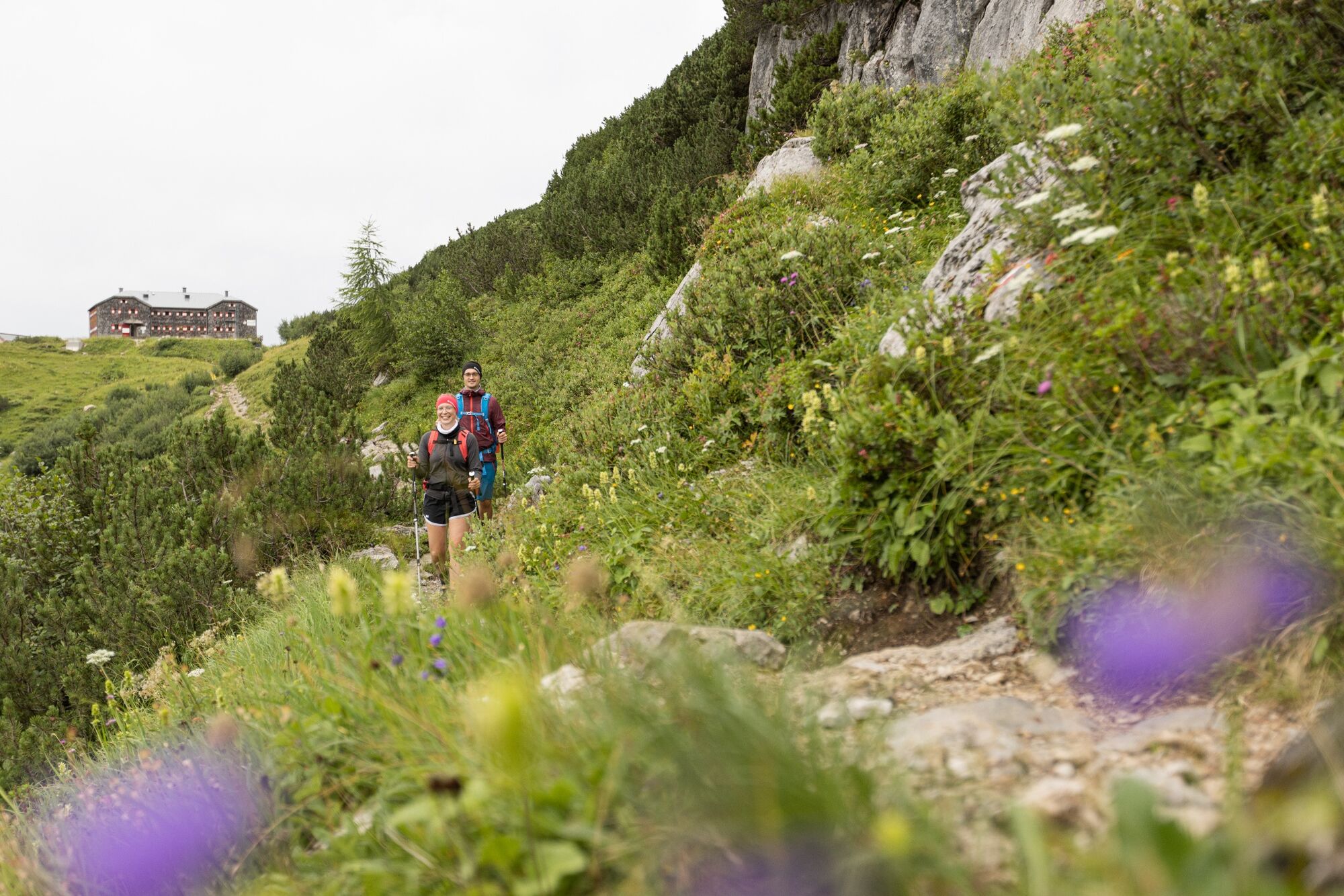
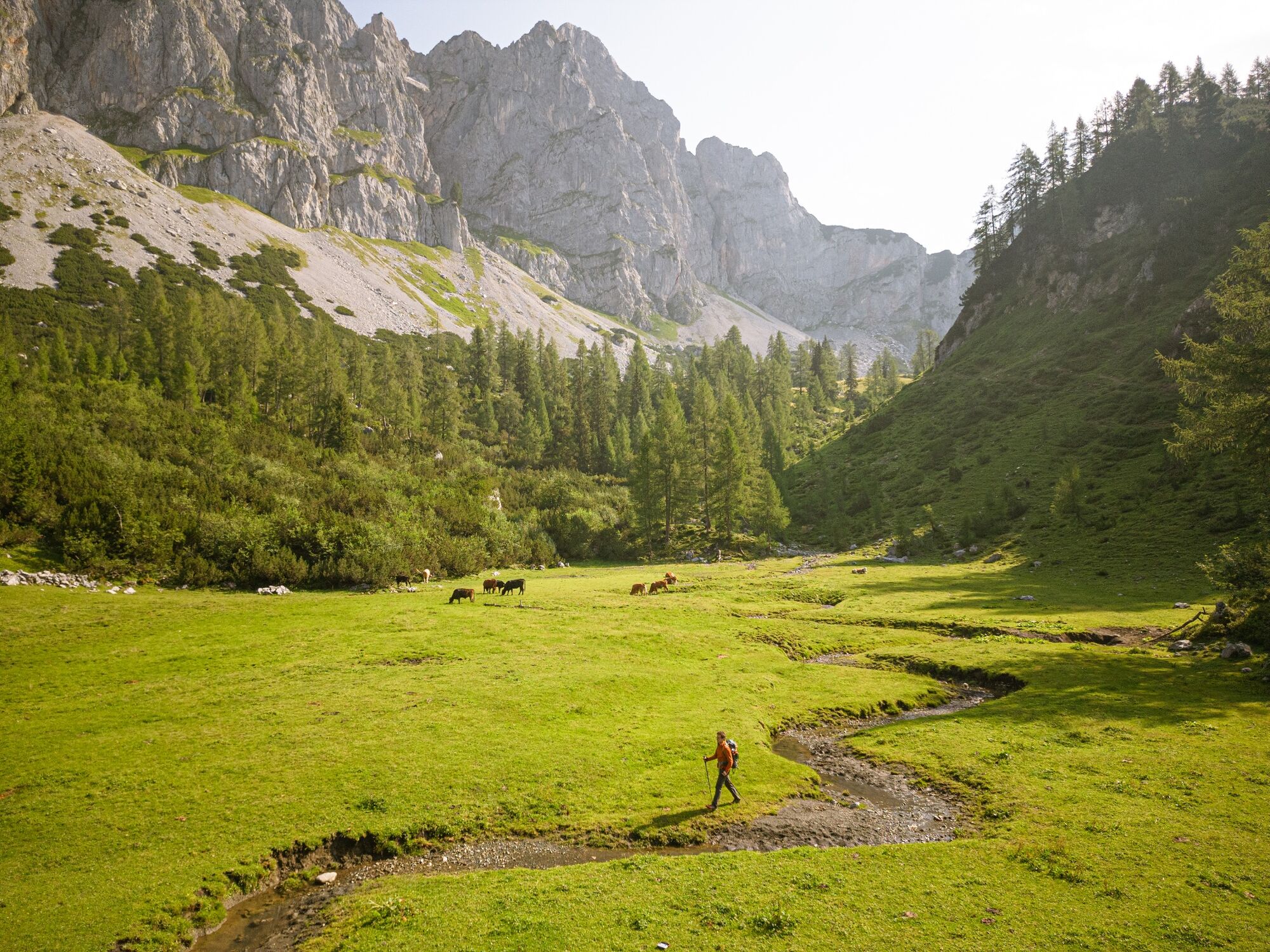
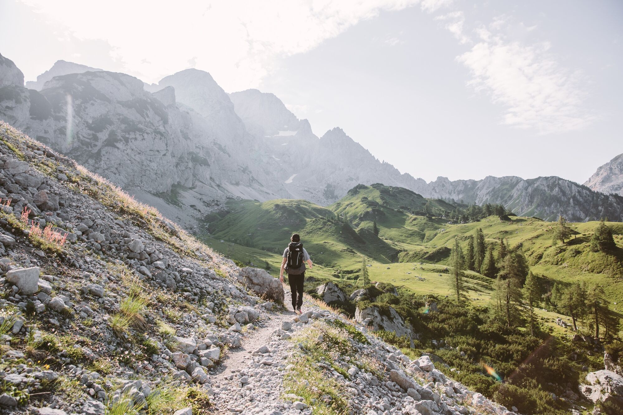
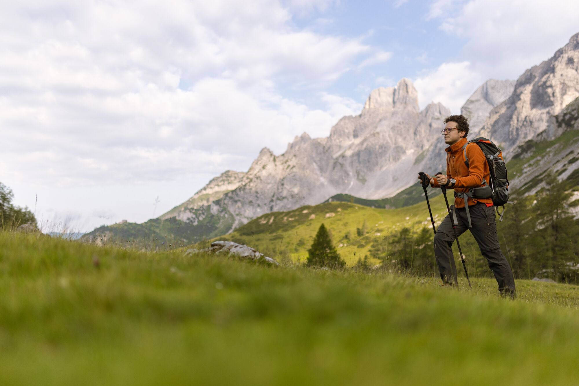
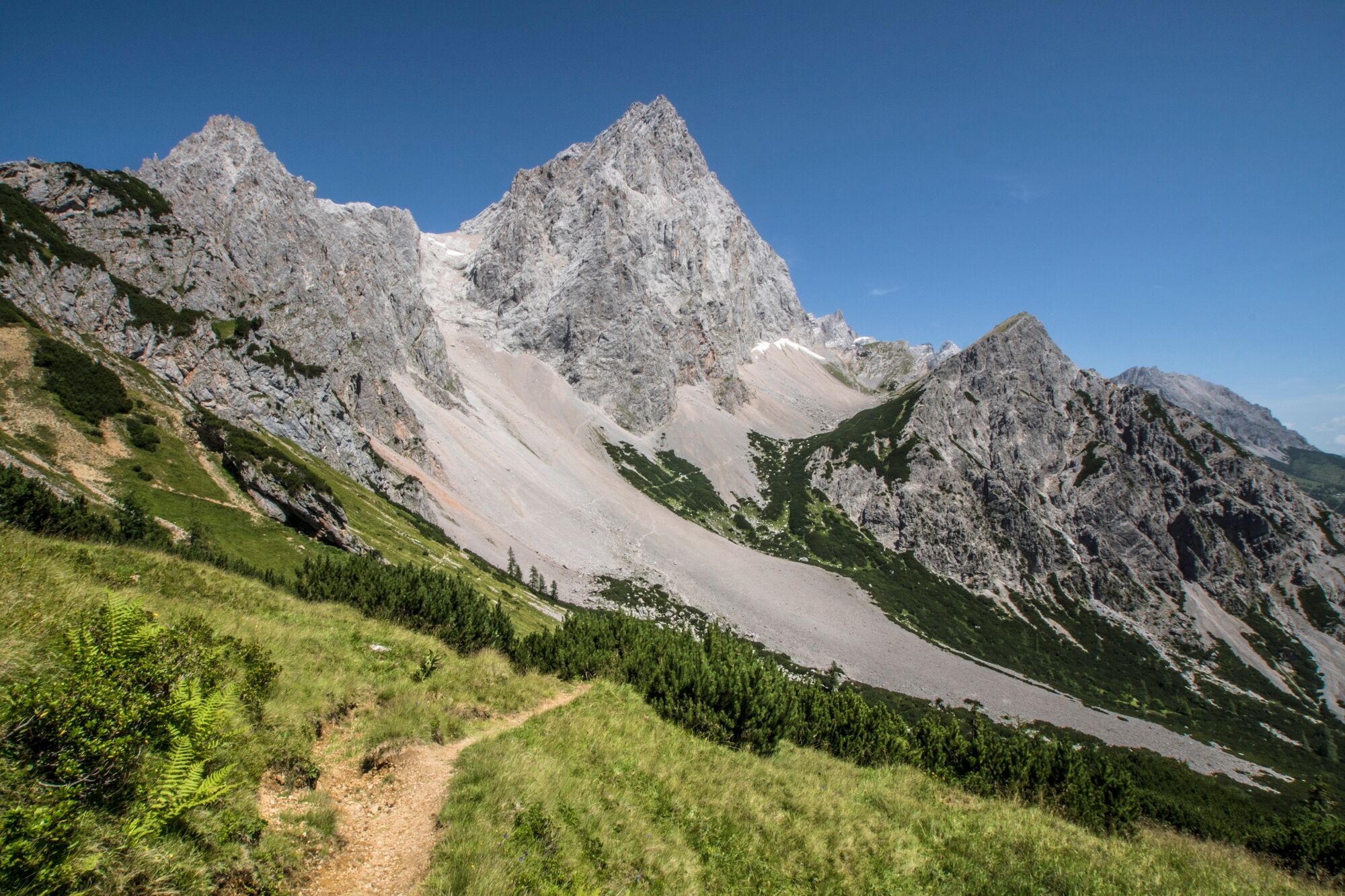
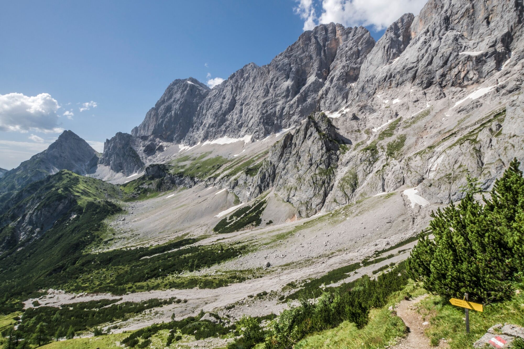
The myth of the Dachstein – views of a mountain personality
At 2,996m above sea level, the Dachstein is the second highest peak in the Northern Limestone Alps and the glaciers are the easternmost in the Alps. Although the Dachstein fails the mark of 3,000 meters by a couple of meters it has long since become one of the most famous mountains in the Alps thanks to its striking south walls.
This magnificent mountain with its diverse landscapes has always fascinated people and it is not for nothing that it is considered a mountain personality: Rugged rocks over green pastures, bizarre peaks, towers and huge walls, glacier ice, limestone rocks and lonely plateaus, primeval forests and peaks with panoramic views, mysterious karst springs and reflecting ones Mountain lakes characterize the images around the Dachstein.
Many important people have left their mark around the Dachstein. Painters and writers, researchers and noble patrons, mountaineers, climbers and speleologists, miners and craftsmen. The first ascent was made in 1834 by Peter Gappmaier from Filzmoos, the striking 800 m vertical south face was conquered by the brothers Franz and Georg Steiner for the first time in 1909. The Steiner route named after them is still one of the climbing classics and one of the most sought-after routes in the Eastern Alps.
- Highest point
- 2,020 m
- Endpoint
-
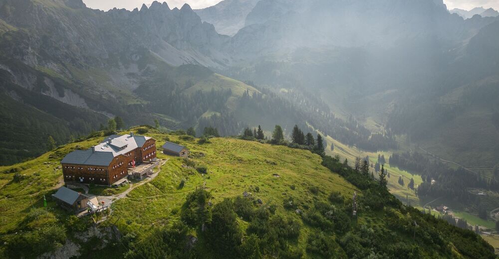
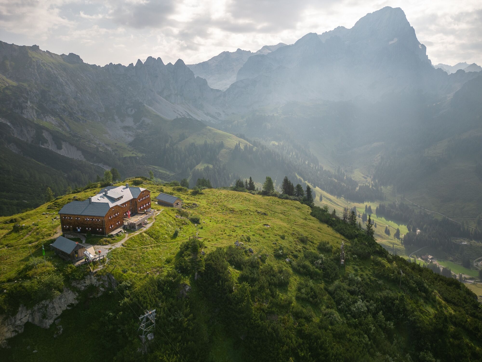
Dachstein Südwandhütte
- Height profile
-

- Equipment
-
A well-packed backpack is helpful and especially when touring Alpine terrain a tuque, gloves, a windproof jacket and pants are standard equipment. Good, waterproof shoes, sun glasses, sun cream and sufficient beverages are essential too. Torch light, a map of the area, knie and a small first-aid kit should also be in the backpack.
- Safety instructions
-
Changes in weather patterns, quick falls in temperature, thunderstorms, wind, fog and snow are some of the dangers that can be encountered on a hiking tour. Hosts of alpine huts and mountain refuges have a lot of experience in the mountains and can give good advice about weather and the trails. Poor equipment, overestimation of one's own capabilities, carelessness, poor personal constitution and/or wrong judgement can lead to critical situations. In case of thunderstorms: avoid summits, ridges and steel ropes.
GPS data and orienteering
Available GPS data - just like hiking maps - is only a guidance for orientation and can never depict a trail exactly with all its details. Especially at dangerous spots it is essential to judge on site how to proceed.
In an emergency please call:
140 - for Alpine emergencies (all over Austria) 112 - European GSM emergency number - Arrival
-
From west:
Tauernautobahn A 10 to the Ennstal junction - exit in the direction of Graz/Schladming - about 20 km on the Ennstal federal road to Schladming. Turn off in Schladming Mitte and follow the state road in the direction of Ramsau am Dachstein. From Ramsau then continue with the hiking bus to the starting point. If you pick up your car at the end of your tour with the hiking bus in Filzmoos, you can exit the A10 at the "Eben im Pongau" exit and continue to Filzmoos from there.
From the north:
Pyhrnautobahn in the direction of Liezen Ennstalbundesstraße to Schladming. Turn off in Schladming Mitte and follow the state road in the direction of Ramsau am Dachstein. From Ramsau then continue with the hiking bus to the starting point or if you park your car in Filzmoos with the hiking bus back to Filzmoos.
- Public transportation
- Parking
-
Ramsau Kulm car park, at the tourist information office.
-

-
AuthorThe tour Hofpürglhütte - Südwandhütte | Sun Trail Dachstein: Stage 01 is used by outdooractive.com provided.


General info
-
Schladming - Dachstein
3002
-
Ramsau am Dachstein
1693
-
Filzmoos
627