Goldtoni - Alpenbogen A022 Hagenerhütte-Zittelhaus

long-distance walking trail
© Toni Sommer
© Toni Sommer
© Toni Sommer
© Toni Sommer

© Toni Sommer

© Toni Sommer
Tour data
19.4km
2,359
- 3,101m
1,600hm
981hm
08:27h

- Brief description
-
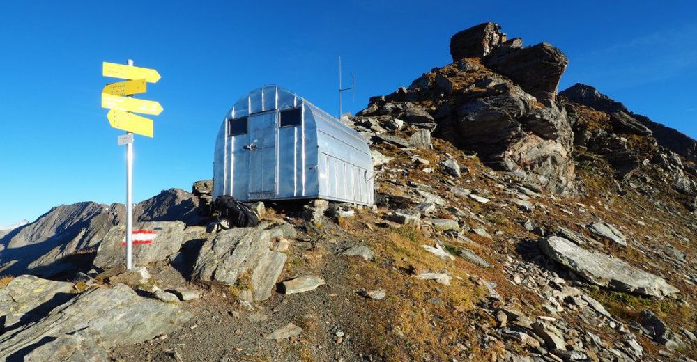
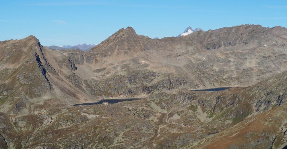
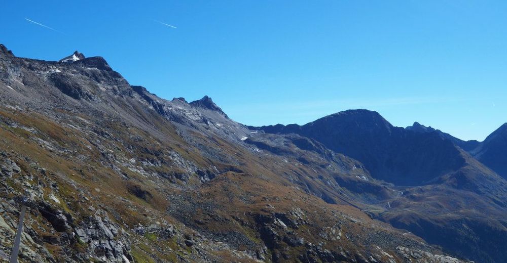
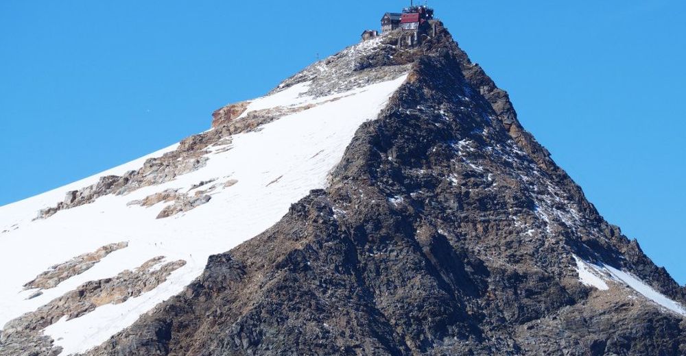
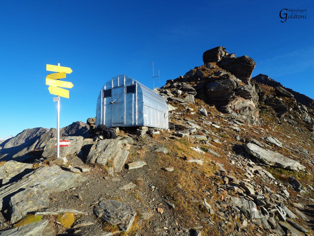
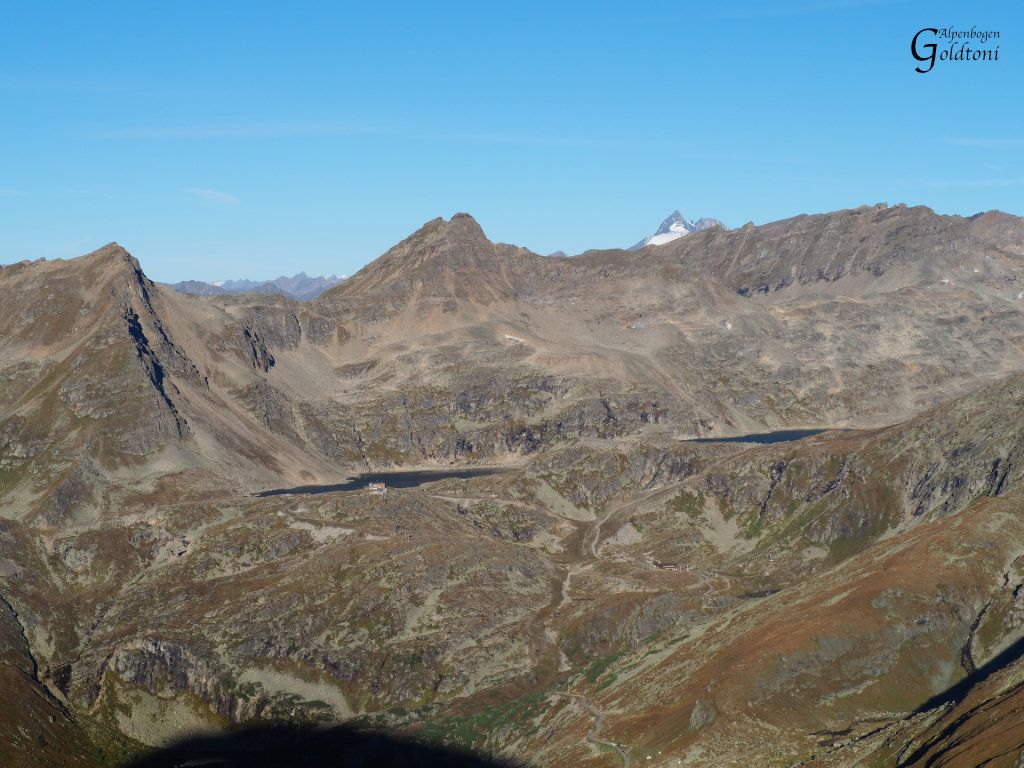
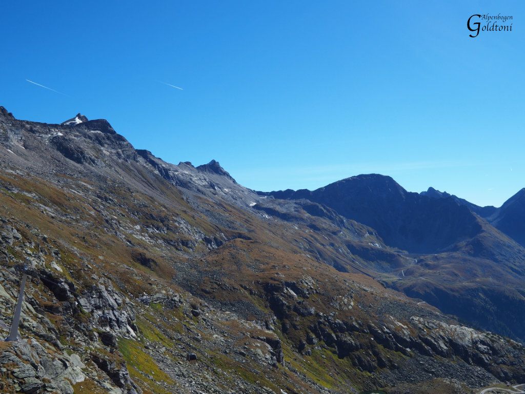
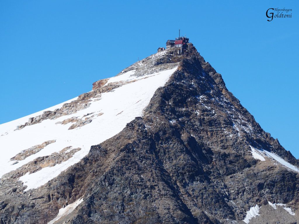
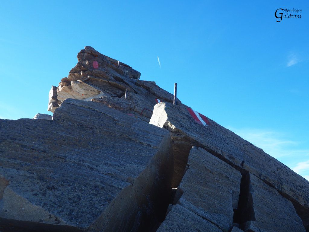
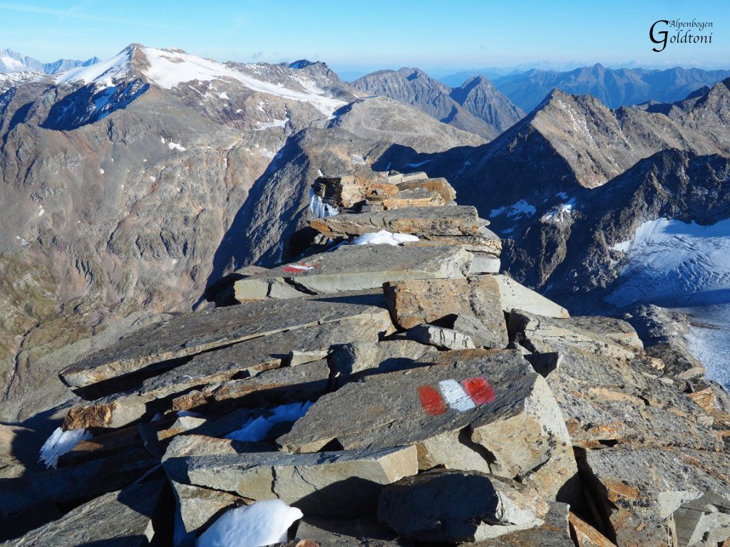
Hagenerhütte(2448)-Tauscherböden-Biwakschachtel Feldseescharte(2714)-Torleiten-Duisburger Hütte(2573)-Hochwurtenspeicher(2417)-Fraganterscharte(2754)-Goldbergtauernkarr(2776)-Niedere Scharte(2696)-Rojacherhütte(2719)-Höher Sonnblick Zittelhaus(3106)
- Difficulty
-
difficult
- Rating
-
- Route
-
Hagener Hütte0.0 kmNiederer Tauern (2,414 m)0.1 kmDuisburger Hütte9.4 kmGoldbergtauernkogel (2,776 m)14.1 kmNeuner Bolfach14.9 kmRojacher Hütte (2,718 m)17.9 kmHoher Sonnblick (3,106 m)19.3 kmZittelhaus19.4 km
- Best season
-
JanFebMarAprMayJunJulAugSepOctNovDec
- Highest point
- Hohe Sonnblick (3,101 m)
- Source
- Toni Sommer
GPS Downloads


Trail conditions
Asphalt
Gravel
(50%)
Meadow
(25%)
Forest
Rock
(25%)
Exposed
(25%)
Other tours in the regions