


- Difficulty
-
easy
- Rating
-
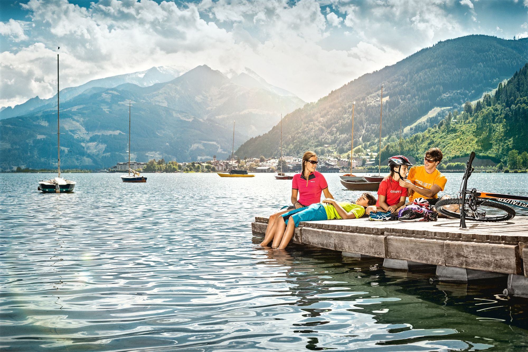
- Starting point
-
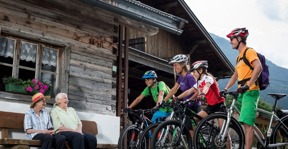
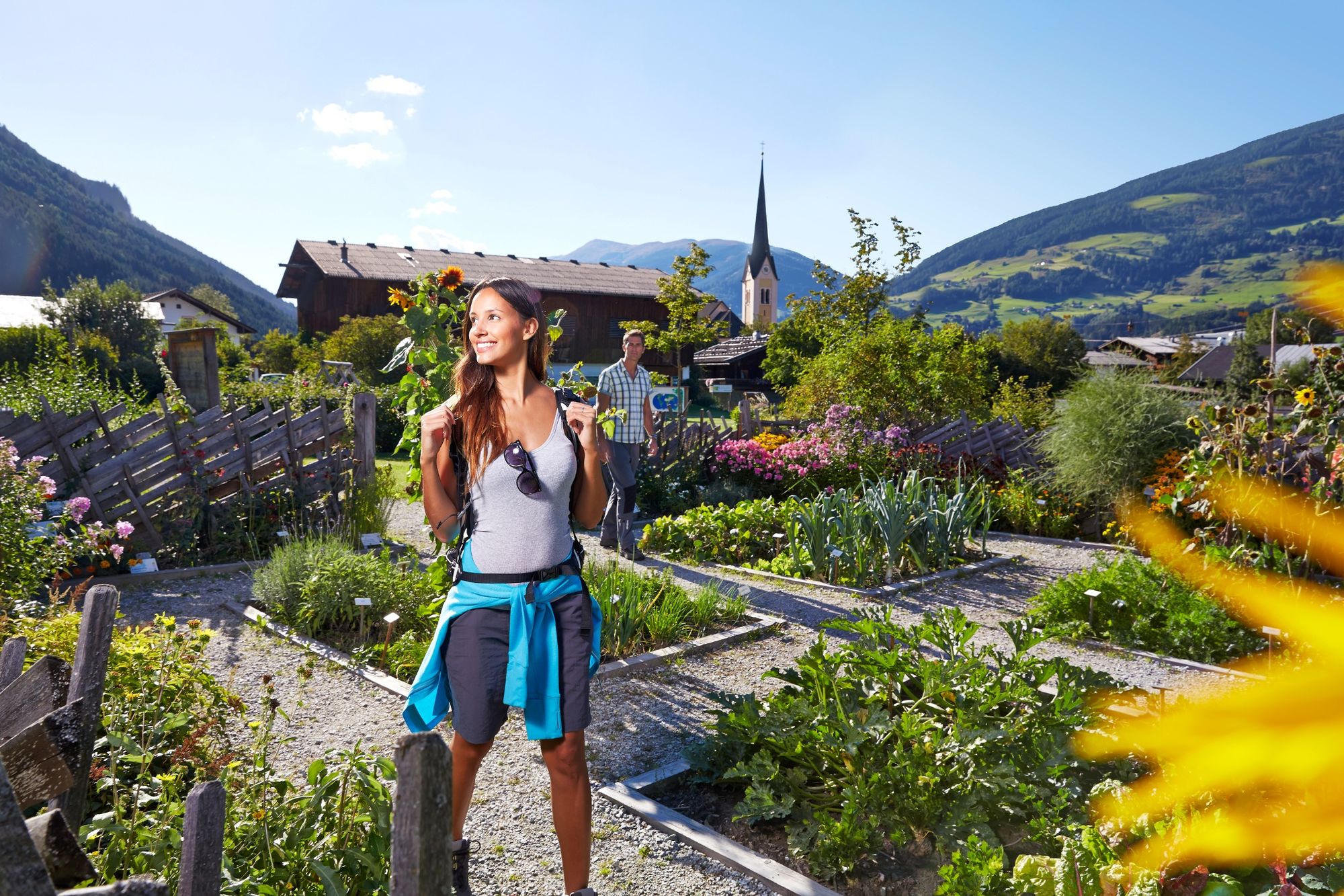
Town square Mittersill
- Route
-
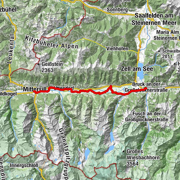
Mittersill0.2 kmFelben0.8 kmFelberkirche1.0 kmWilhelmsdorf3.4 kmStuhlfelden4.6 kmPirtendorf5.9 kmUttendorf8.0 kmGasthof Tischlerwirt8.4 kmTobersbach9.3 kmUggl10.0 kmLengdorf13.2 kmPfarrkirche hl. Luzia15.2 kmNiedernsill15.2 kmJesdorf15.7 kmHummersdorf19.4 kmIl Capriccio21.9 kmPiesendorf21.9 kmGasthof Neuwirt22.0 kmEinödhof24.6 kmKaprun26.6 kmBruck an der Großglocknerstraße31.9 kmHl. Maria32.3 km
- Best season
-
JanFebMarAprMayJunJulAugSepOctNovDec
- Directions
-
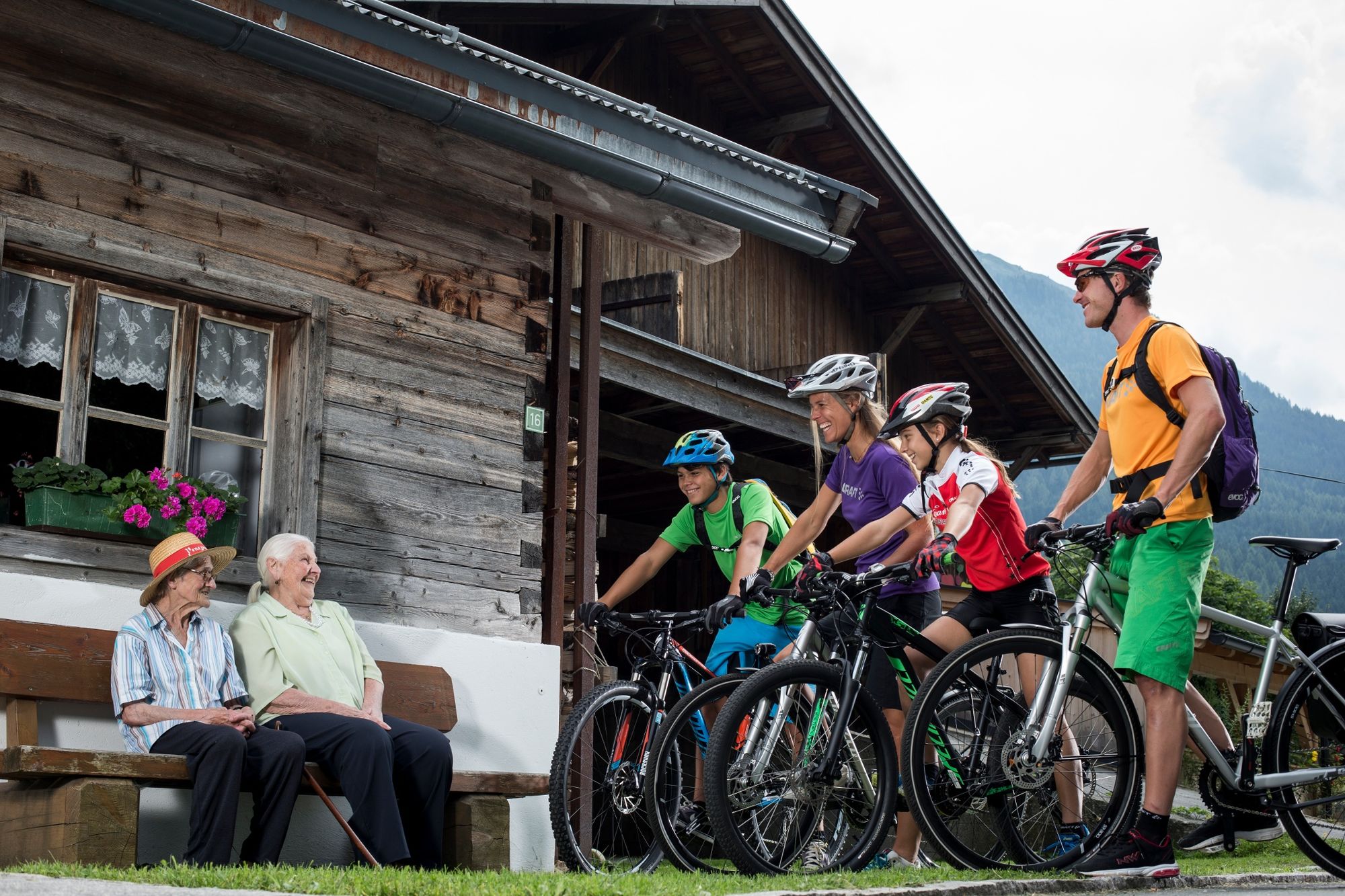
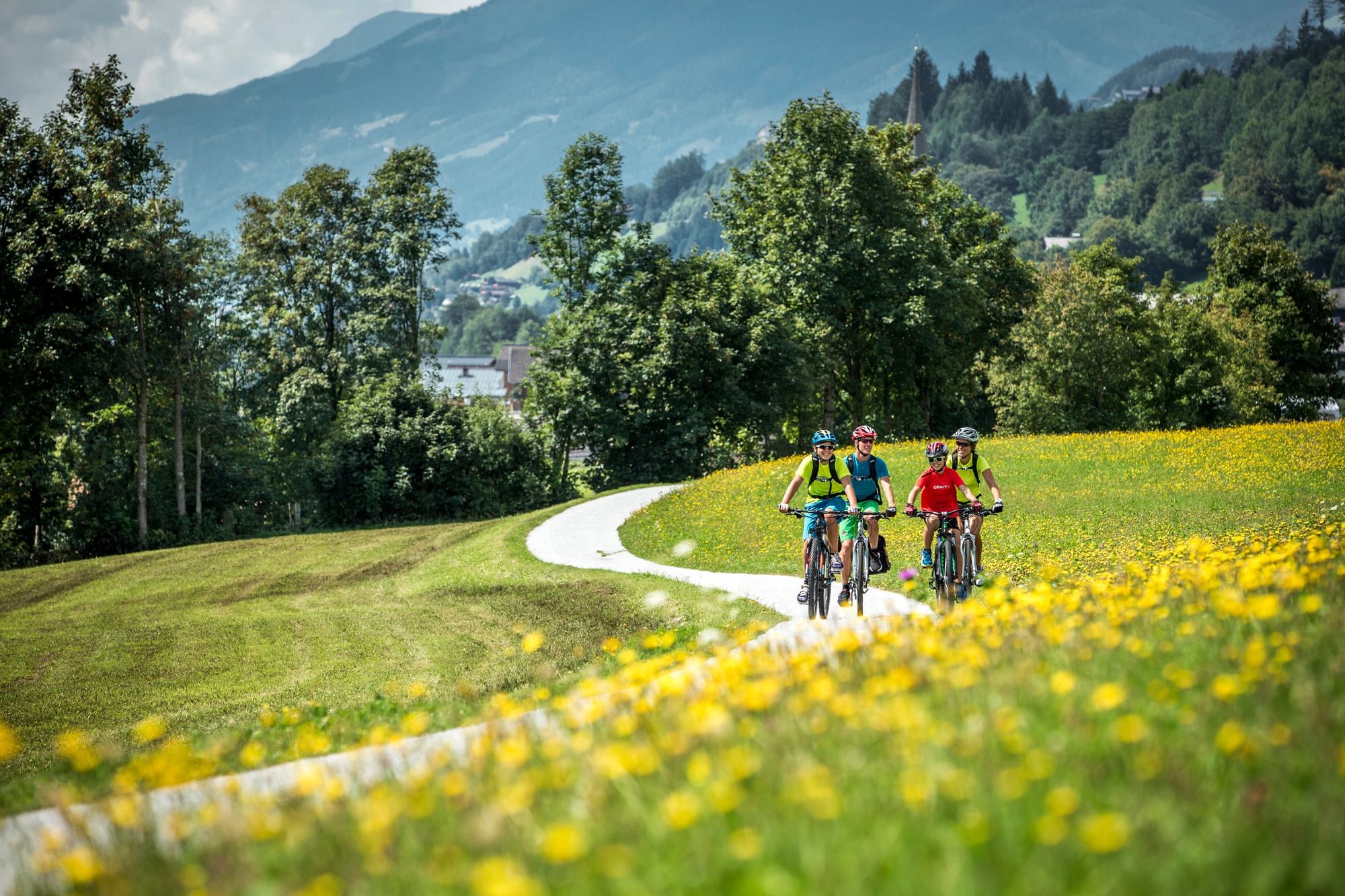
From the town square of Mittersill via the Lebzeltergasse to the neighbourhood of Felben (recommended local history museum) - continue on roads through a golf course to Wilhelmsdorf and the Salzach bridge - cross both the river Salzach and the federal road - bike up to the Castle Lichtenau (nowadays a school) - now back on side streets slightly up and down to Uttendorf - here continue straight - pass the Lake - in Uggl underpass the federal road and reach the Salzach bridge - now again accompany the River on its South Bank until the bridge shortly before Lengdorf - switch to the north bank - pass the train stop and cross again to the south bank of the river by the next Salzach bridge - past Jesdorf through fields to Hummersdorf and to further Salzach bridge - after crossing continue to Piesendorf (Hinkelsteinbad! (bath)) - South exit Piesendorf - Salzach bridge - past the major electrical substation to Kaprun (detour along the Kesselfall bike tour in the direction of the Glockner-Kaprun power plant group reservoirs) - on asphalted road straight ahead through the Filzmoos to the Salzach bridge (possibility to branch-off towards Zell am See) – continue further along the south bank to Bruck, where the Tauern Bike Tour, leading through the Saalachtal (via Saalfelden, Lofer and Bad Reichenhall to Salzburg), branches off. The main line continues along the river Salzach via Bischofshofen and Golling to Salzburg.
- Highest point
- 805 m
- Endpoint
-
Bruck
- Height profile
-

- Safety instructions
-
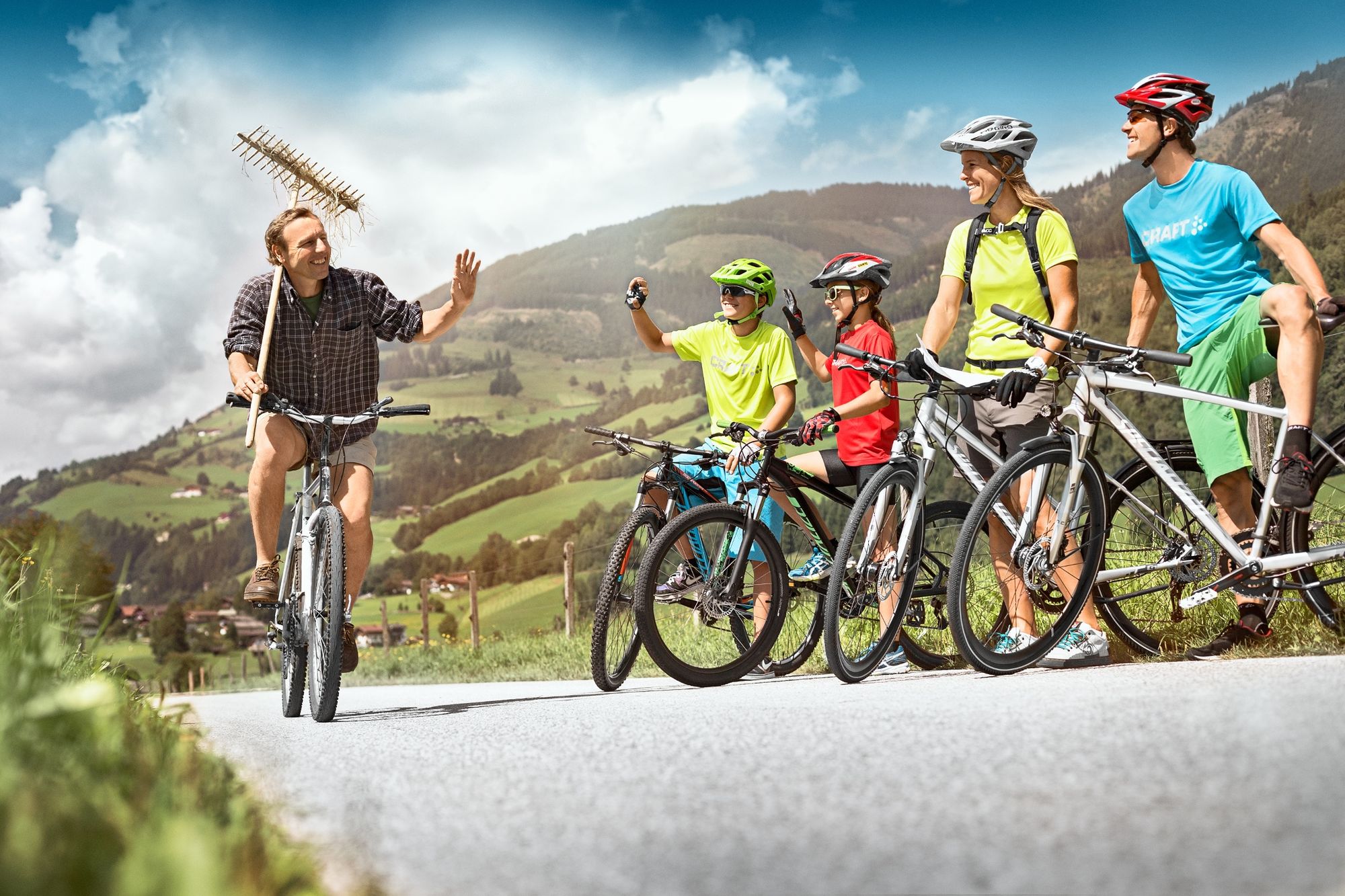
ROUTE: due to the route usually continuing slightly downhill (only a few climbs). Approximately 70% of the cycling route is tarred. 90% is on bike paths or low-traffic roads. Suitable for touring bikes and trekking bikes, limited for road bikes. Mountain bikes allow for additional alpine excursions.
- Additional information
- Author
-
TauernradwegThe tour Tauern Bike Tour Stage 2: Mittersill - Bruck is used by outdooractive.com provided.