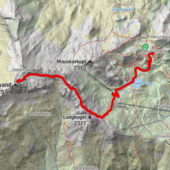
Tour data
18.57km
887
- 2,296m
1,483hm
1,492hm
07:45h
- Brief description
-
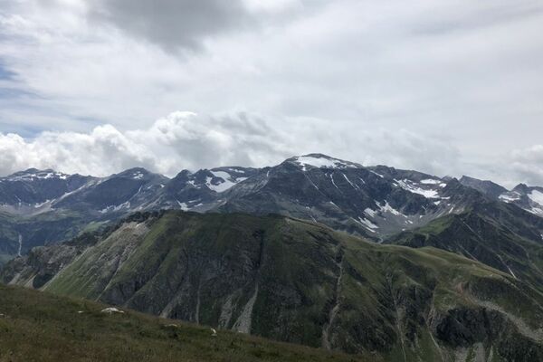
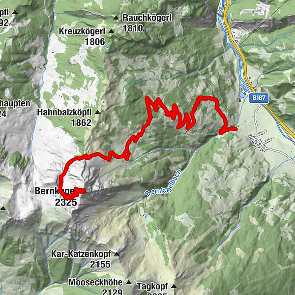
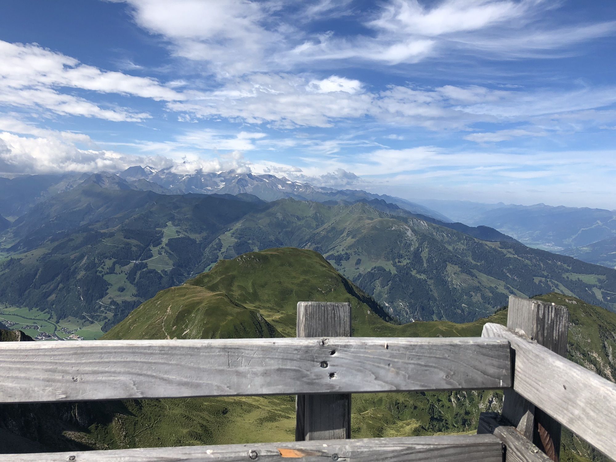
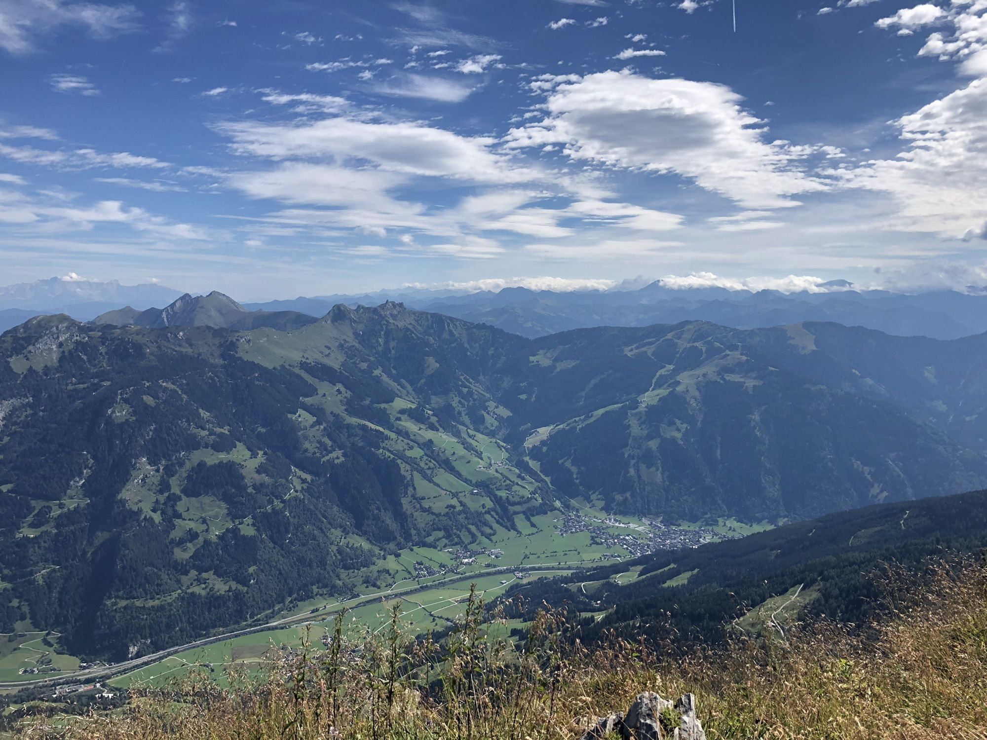
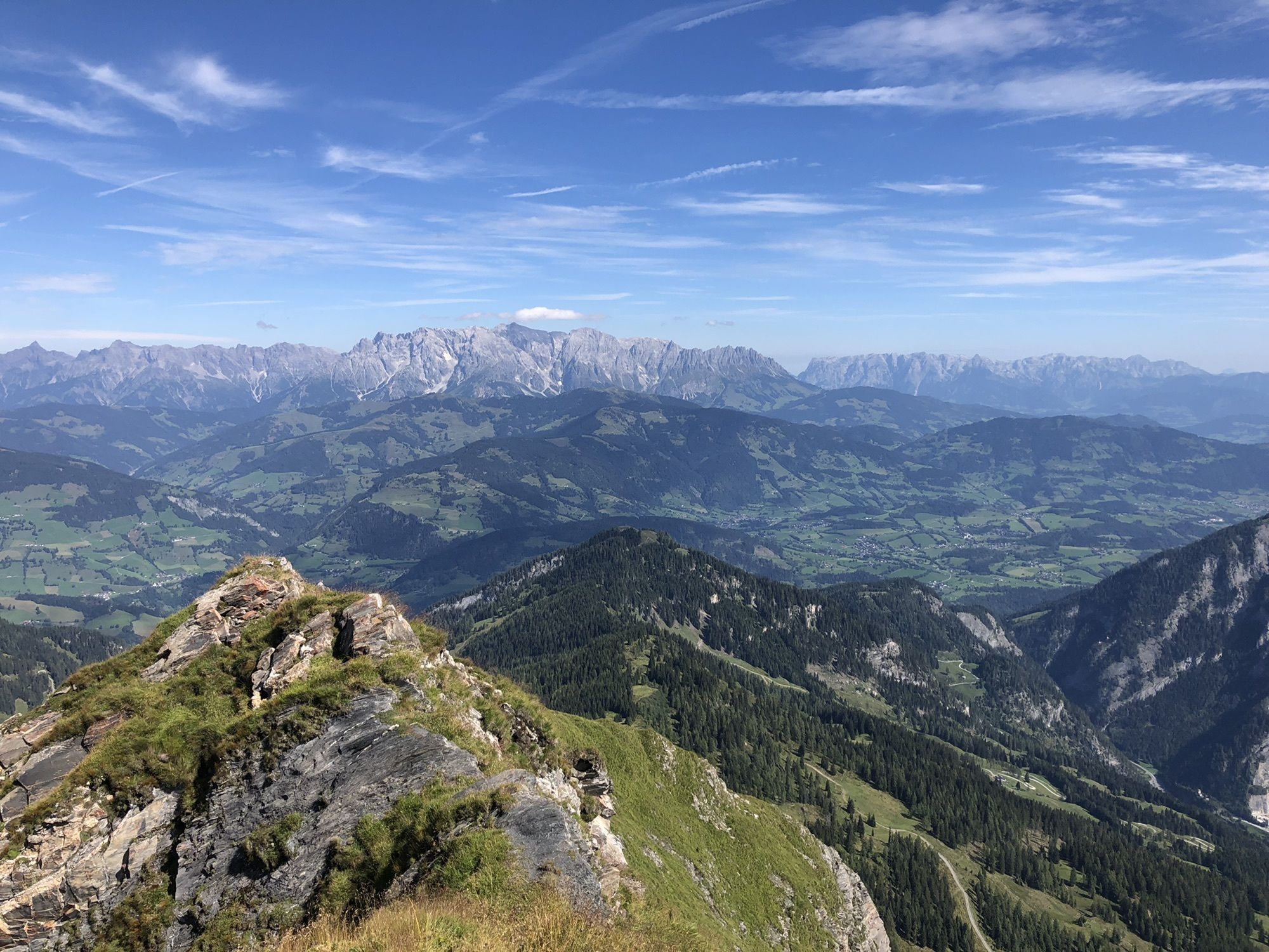
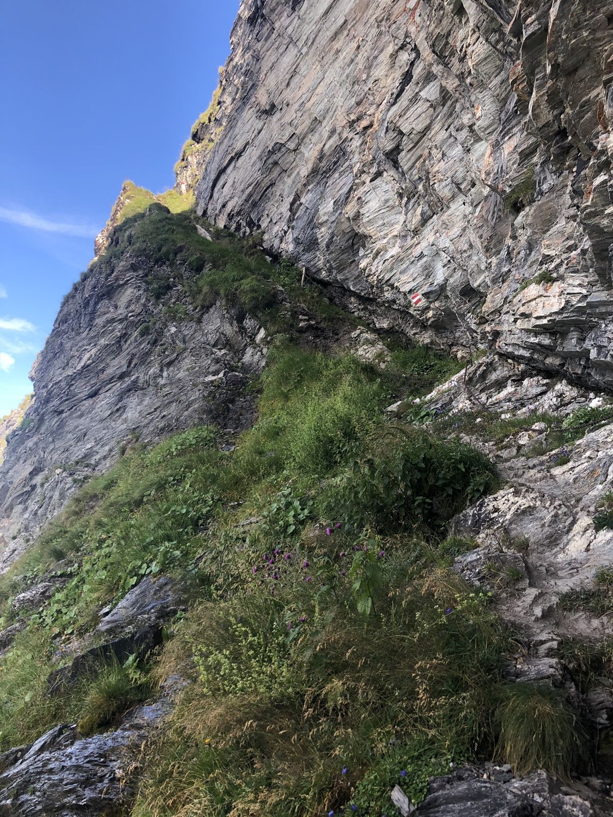
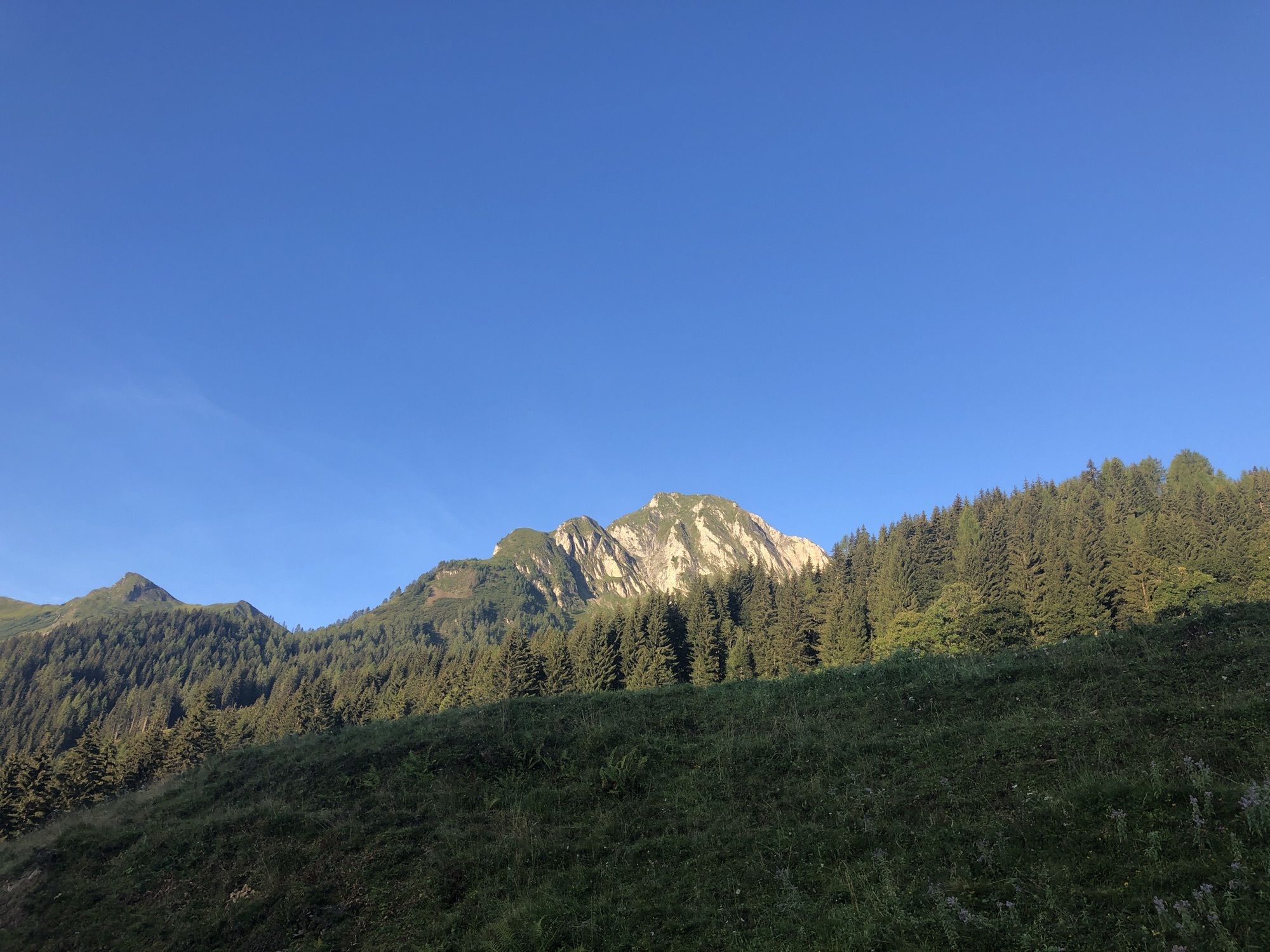
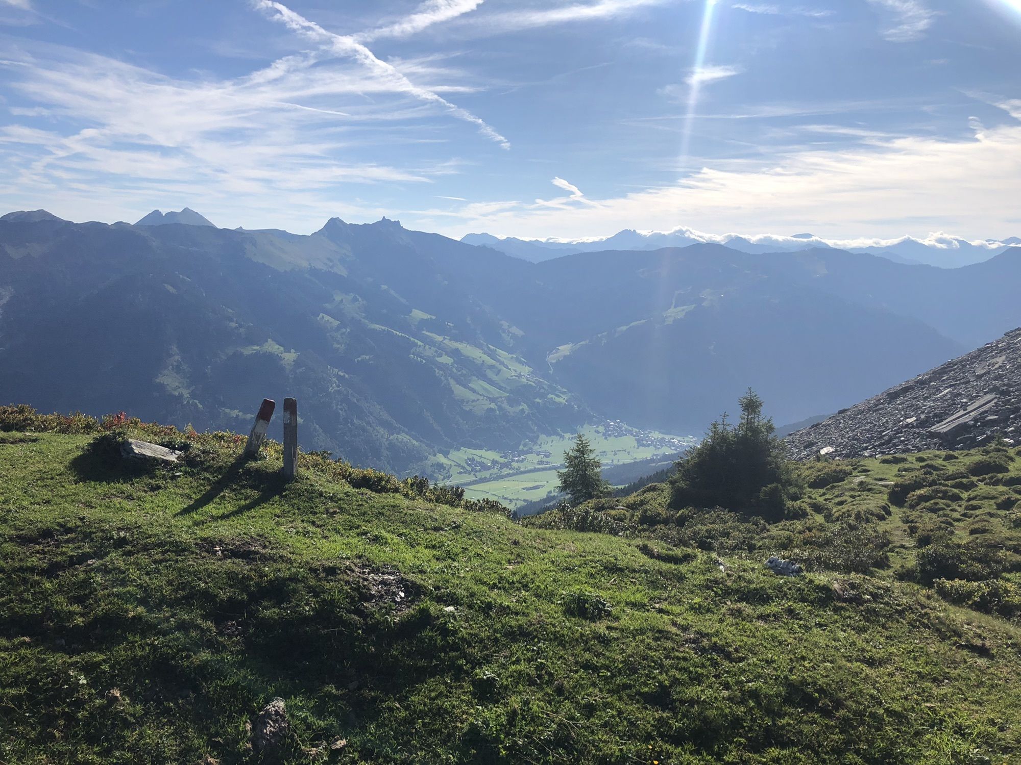
Ersteigung des Bernkogels von Unterberg aus
- Difficulty
-
difficult
- Rating
-
- Starting point
-
Wanderparkplatz Unterberg (Dorfgastein)
- Route
-
Weitenpoint0.3 kmAmoseralm1.8 kmBernkogel (2,325 m)9.4 kmAmoseralm16.7 km
- Best season
-
JanFebMarAprMayJunJulAugSepOctNovDec
- Highest point
- Bernkogel (2,296 m)
- Endpoint
-
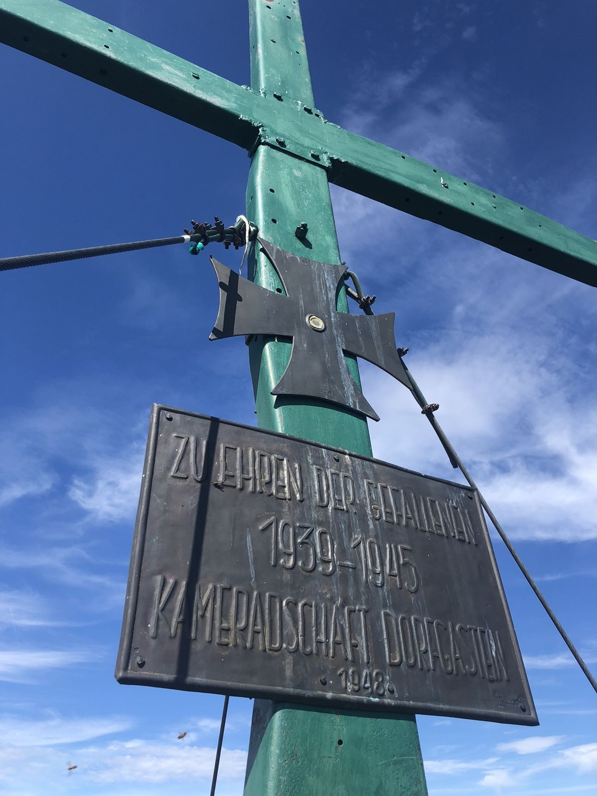
Gipfel Bernkogel
- Rest/Retreat
-
Amosenalm


- Source
- Florian Brunner
GPS Downloads


Other tours in the regions