

- Brief description
-
The hiking trail between Germany and the Czech Republic „Hiking without limits"
- Difficulty
-
medium
- Rating
-
- Route
-
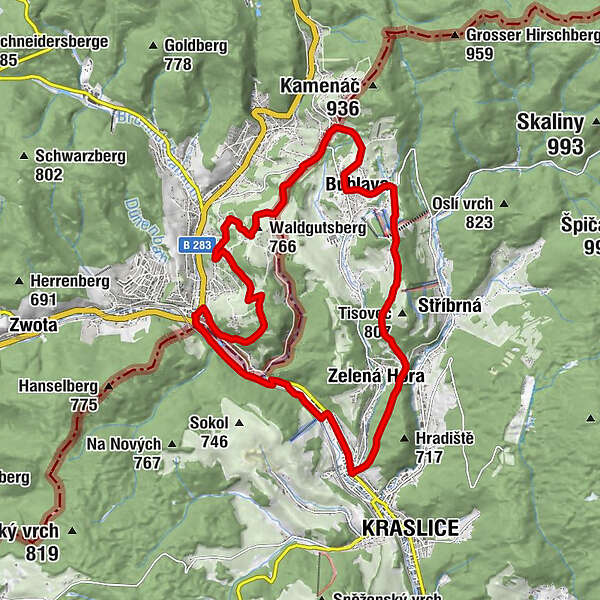
Klingenthal0.2 kmUnterklingenthal0.6 kmKörnerberg (739 m)1.8 kmWaldgutsberg (766 m)5.0 kmObersachsenberg6.7 kmSchwaderbach8.7 kmPenzion Langer9.4 kmEibenberg13.0 kmGrünberg13.2 kmHorníků13.3 kmRestaurace Siesta14.9 kmRestaurant Goldfisch17.8 kmRestaurant Markhausen17.9 kmMarkhausen17.9 kmUnterklingenthal18.2 kmJägerschmaus18.5 kmKlingenthal18.9 km
- Best season
-
JanFebMarAprMayJunJulAugSepOctNovDec
- Description
-
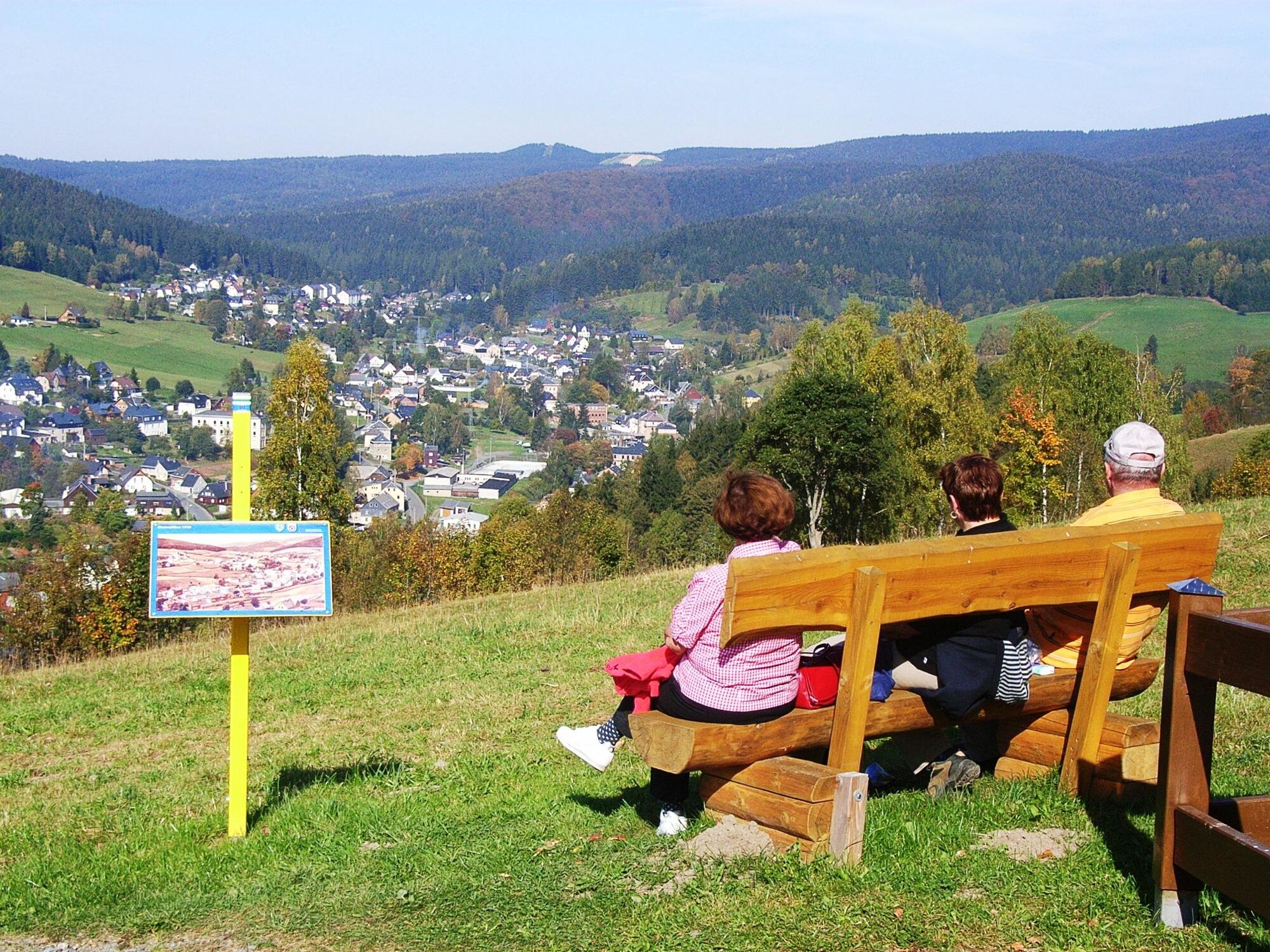
The loop road „Hiking without limits" doesn‘t only cross the border between Saxony and Bohemia literally, but in fact. The hiking trail symbolizes the friendship of both countries, Germany and the Czech Republic. It opens up the cooperation concerning the collective expansion of the touristic infrastructure and commercialization. It is a pilot scheme to set an example of an active collaboration in praxis.The loop road starts in Klingenthal‘s city center, passing mount Amtsberg before reaching mount Aschberg, crossing the border, passing the small Czech towns of Bublava and Kraslice, before coming back to Klingenthal. That hiking trail between two countries offers outrageous views and information about the history of the region. Along the trail, hikers find 30 presentation boards, showing historic photos and telling stories, fairy tales and legends in German and Czech languageA bilingual flyer with information and a map is available in the tourist information of Klingenthal, Kraslice and Bublava.
- Highest point
- 785 m
- Endpoint
-
Tourist-Info Klingenthal
- Height profile
-
 © outdooractive.com
- Author
-
The tour Hiking without limits is used by outdooractive.com provided.


General info
-
Vogtland / Sachsen
696
-
Erzgebirge
408
-
Klingenthal
153


