- Brief description
-
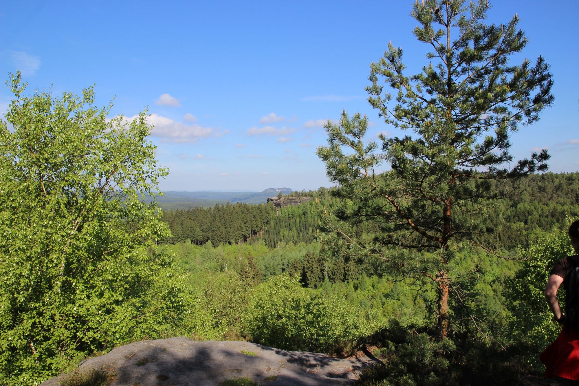
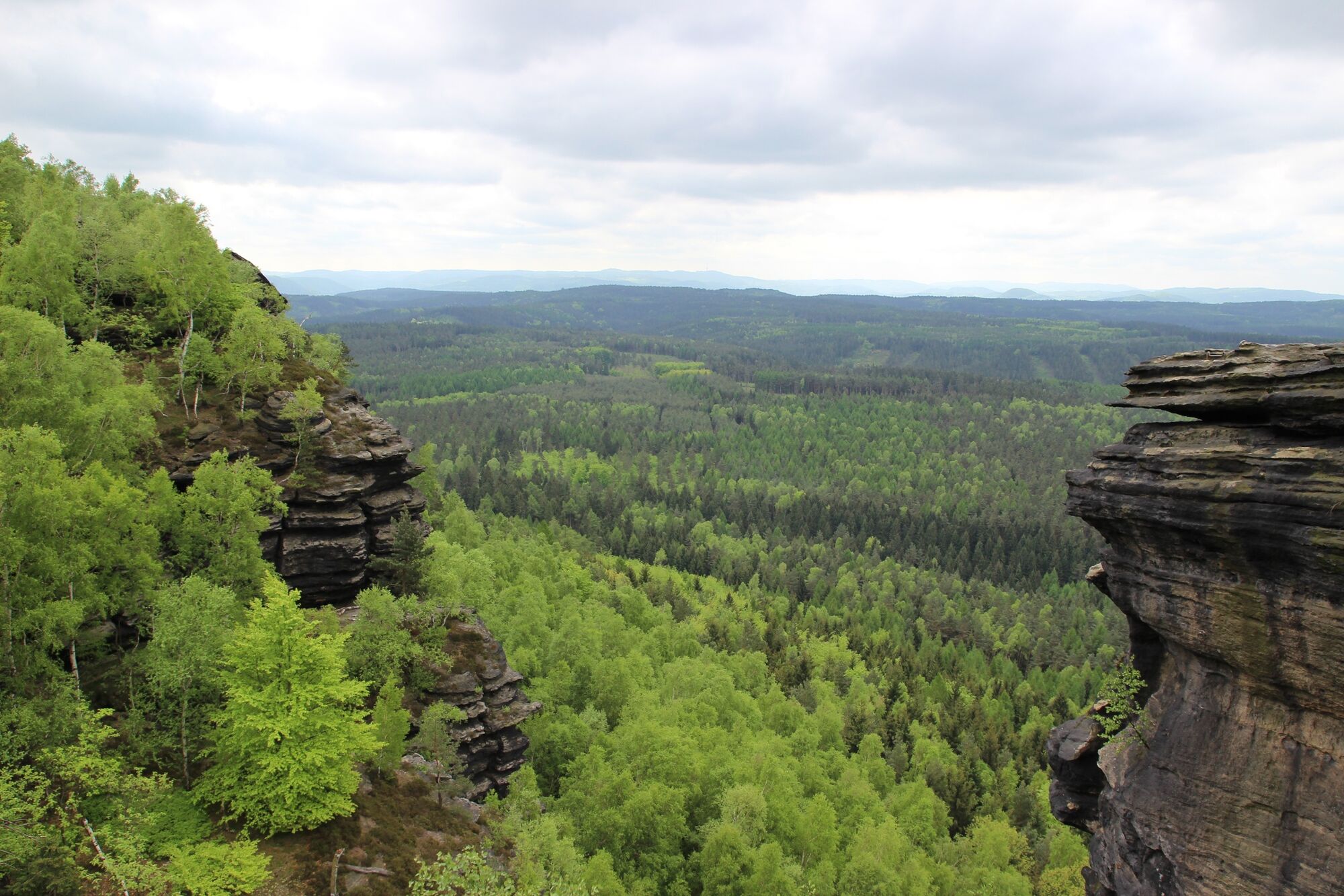
This hike offers impressive views and leads to the Großer Zschirnstein.
- Difficulty
-
medium
- Rating
-
- Starting point
-
Car park Krippen
- Route
-
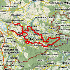
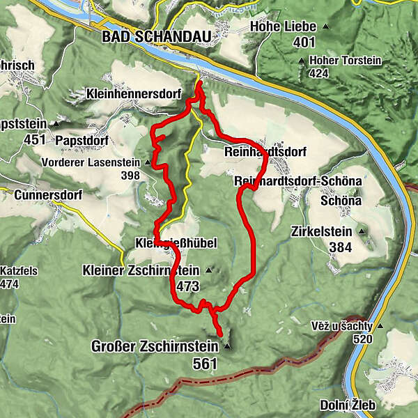
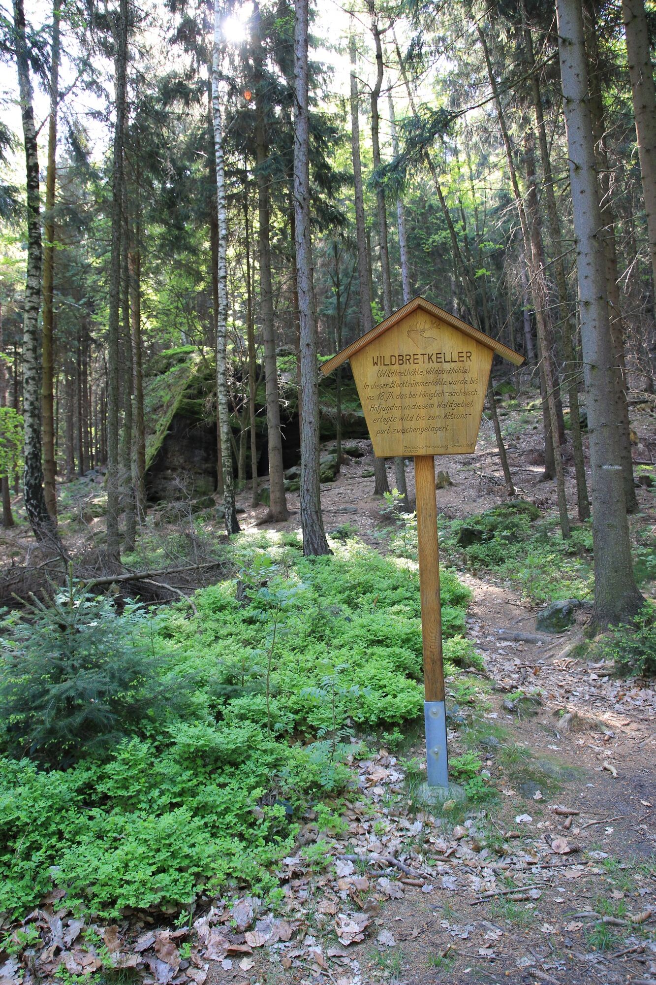
Krippen0.5 kmKohlborn1.0 kmKohlbornstein (378 m)2.4 kmKleingießhübel6.1 kmZschirnsteinbaude Pension & Gasthaus6.2 kmWildbrethöhle8.4 kmFührigsborn11.0 kmZschirnsteinborn11.1 kmPanoramahotel14.0 kmReinhardtsdorf14.9 kmKrippen17.2 km
- Best season
-
JanFebMarAprMayJunJulAugSepOctNovDec
- Description
-
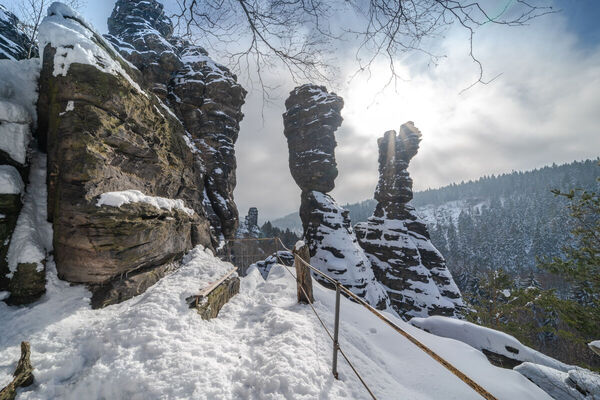
The highest elevation in Saxon Switzerland is the Großer Zschirnstein, a slightly sloping table mountain with excellent distant views. At its southern end is the "Mittagsstein", which at 562 m is the highest point of the massif. Here you can enjoy an impressive view.
- Directions
-
The hike begins at the Krippen car park. After the church, walk a short distance along Kleinhennersdorfer Straße and then continue along Koppels bergweg ("Red Point"). After a detour to the Kohlbornstein, your path leads to the Rölligmühle and then to Kleingießhübel.
From here you reach the Großer Zschirnstein via the Hirschgrundweg trail, which you hike uphill. The way back leads along the Salzleckenweg and over the Wolfsberg to Reinhardtsdorf. Tip: Visit the village church, which is well worth seeing. Take the Püschelweg ("Green Point") into the Elbe Valley and return to Krippen.
- Highest point
- 545 m
- Endpoint
-
Car park Krippen
- Height profile
-
 © outdooractive.com
 - Safety instructions
-
Please note: in the Saxon Switzerland National Park, only marked trails may be used in the core zone! Fines may be imposed for violations.
- Directions
-
The best way to reach Krippen from Dresden is via Pirna - Königstein - Bad Schandau.
- Public transportation
- Parking
-
Paid parking for approx. 12 cars.
- Author
-
The tour Großer Zschirnstein is used by outdooractive.com provided.


General info
-
Sächsische Schweiz
1393
-
Böhmisches Schweiz
775
-
Reinhardtsdorf-Schöna
584