- Brief description
-
Going south from Altenburg following in Luther's footsteps to the edge of the Vogtland region.
- Difficulty
-
medium
- Rating
-
- Starting point
-
Schloßberg hill Altenburg
- Route
-
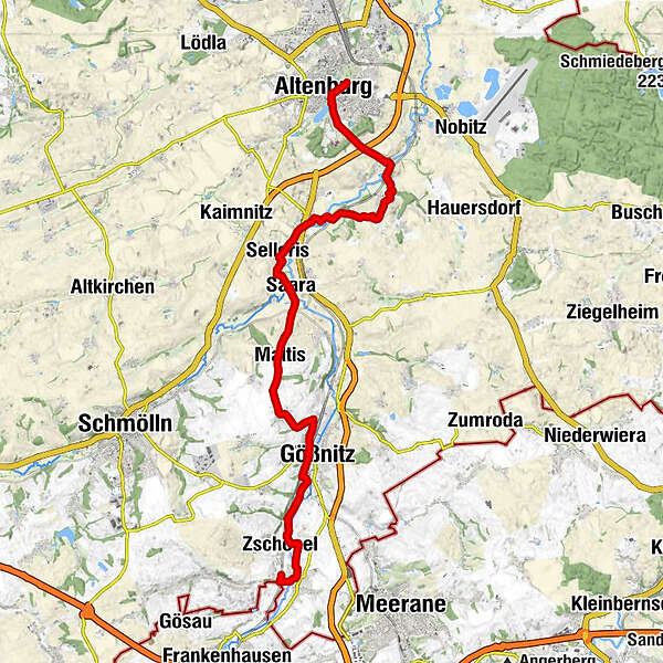
Altenburg0.7 kmPaditz3.2 kmStünzhain4.3 kmDorfkirche Stünzhain4.3 kmEhrenberg5.0 kmLehnitzsch5.7 kmDorfkirche Mockern7.7 kmMockern8.1 kmSelleris9.6 kmLehndorf10.4 kmSaara10.6 kmMaltis12.7 kmDorfkirche14.4 kmBornshain14.6 kmGößnitz16.8 kmZschöpel19.8 kmMerlach20.0 kmPonitz21.2 km
- Best season
-
JanFebMarAprMayJunJulAugSepOctNovDec
- Description
-
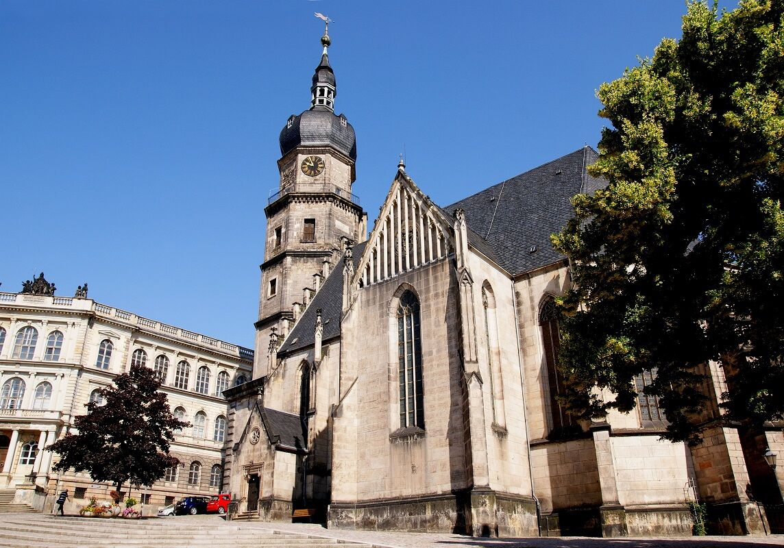
The former sovereign town of Altenburg was first mentioned in 976; here Georg Spalatin played an active role in the Reformation between 1525 and 1545. From Altenburg, the route partially follows the River Pleiße over fields and through wild orchards to Mockern and St George’s Church.
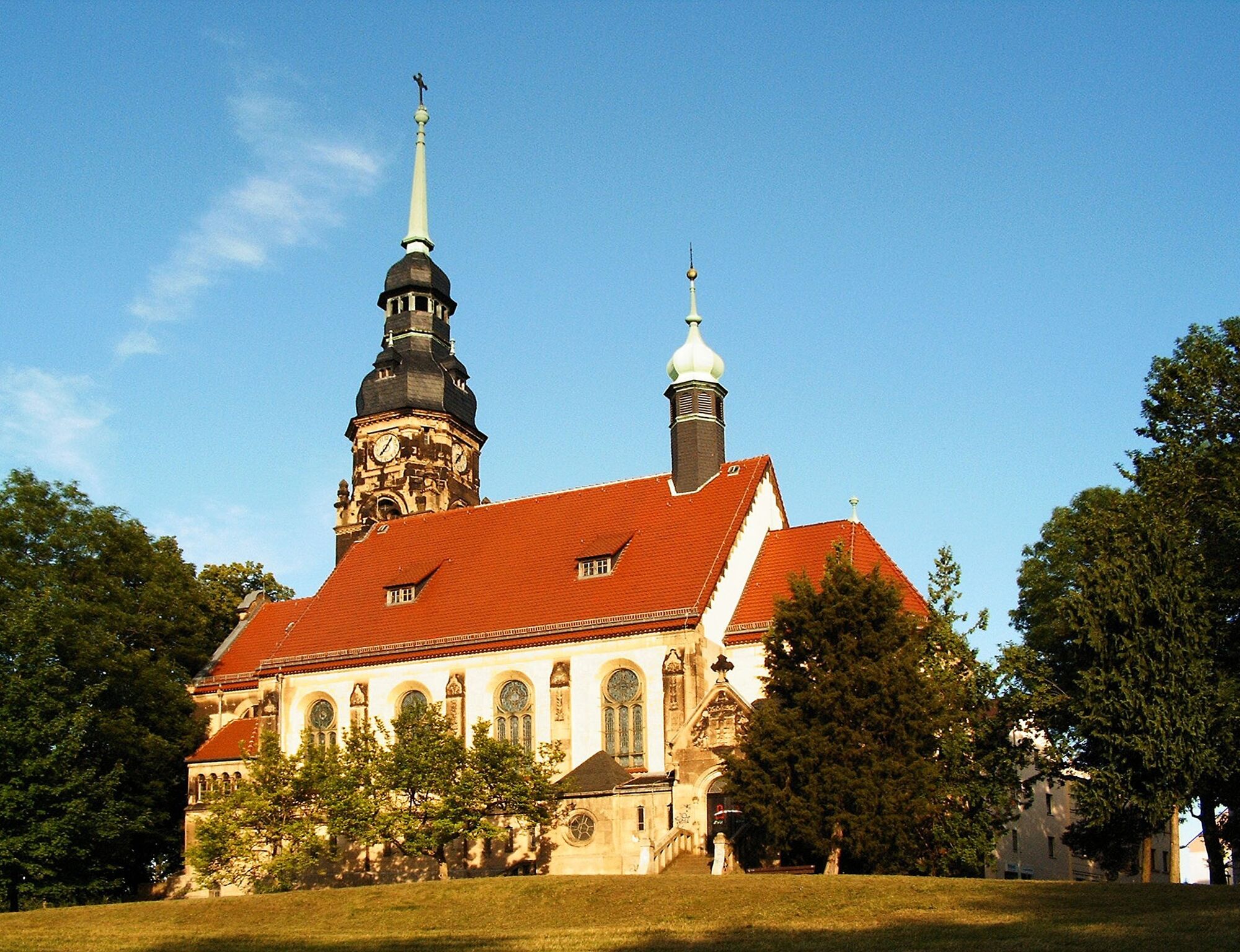
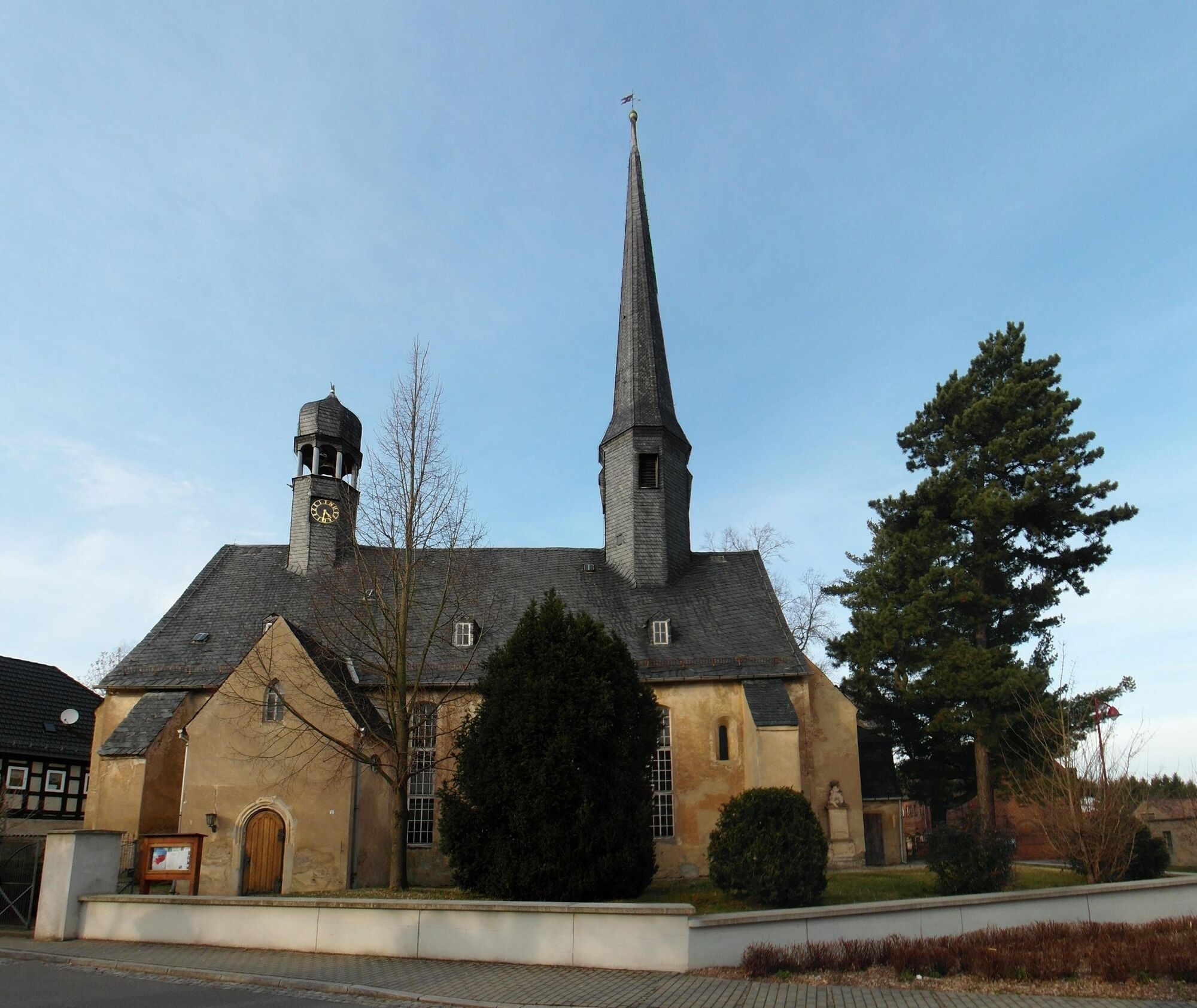
The single-nave church in Saara features two ridge turrets and a clock that, instead of numbers, has letters that spell out the phrase ‘NÜTZE DIE ZEIT’ (Use the time).
Another single-nave church from the medieval period can be seen in Maltis. The interior features various valuable fixtures mainly from the Baroque era; a gravestone from 1398 made using the sgraffito technique is one of the oldest examples.
The late-gothic St. Anne's Church in Gößnitz features an eight-sided tower with a dome and open lanterns originating from the Baroque period. The beautiful half-timbered vicarage dating back to 1653 is worth visiting.
Ponitz is best known for its Renaissance castle and Friedenskirche church with its original Gottfried Silbermann organ, which was built between 1734 and 1737 and was Silbermann’s 40th work. Concerts regularly take place here.
- Directions
-
Altenburg (stables) – Paditz – Stünzhain – Ehrenberg – Lehnitzsch – Mockern – Selleris – Saara – Maltis – Bornshain – Gößnitz – Ponitz
- Highest point
- 264 m
- Endpoint
-
Ponitz railway station
- Height profile
-
 © outdooractive.com
 - Equipment
-
Sturdy shoes
- Directions
-
Coming from the A4, take exit 60 (Ronneburg) and follow the B7 towards Altenburg.
- Public transportation
-
Altenburg and Ponitz are connected to the Deutsche Bahn regional train network.
- Parking
-

-
AuthorThe tour Luther Trail: Section 37 – From Altenburg to Ponitz is used by outdooractive.com provided.