
- Brief description
-
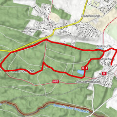
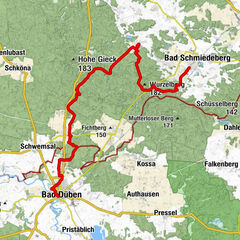
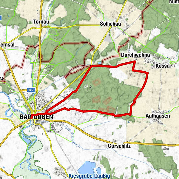
The Tiglitz hiking loop is a beautiful 16-kilometer circular trail that widely circles the Tiglitz Forest near Bad Düben.
- Difficulty
-
easy
- Rating
-
- Starting point
-
NatureparkHaus Bad Düben
- Route
-
St. Nikolai0.2 kmBad Düben (98 m)0.4 kmDurchwehna8.9 kmBad Düben (98 m)15.3 kmSt. Nikolai15.8 km
- Best season
-
JanFebMarAprMayJunJulAugSepOctNovDec
- Description
-
This circular trail is a very varied hiking trail that leads along very old nature trails past sunny fields and through shady forests. The Tiglitz Forest is a restricted use site of the German Bundeswehr. Within the restricted area, only the designated trails are to be used.
- Directions
-
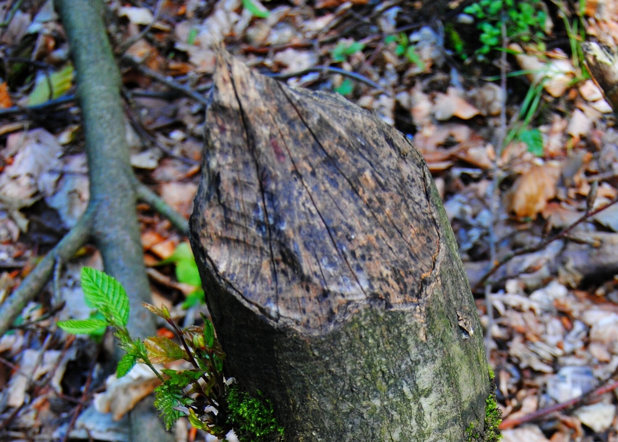
Start at the NaturparkHaus Bad Düben and walk first on the ‘Torgische Wanderweg’ through the beautiful old town of Bad Düben until you meet the ‘Tiglitzrundweg’ at a shopping center. Now the circular trail first leads together with the ‘Torgische Wanderweg’, in an easterly direction, out of the town. For the first three kilometers, a comfortable new asphalt path leads up a terminal moraine hill, which offers one of the most spectacular panoramic views of the town, the fields and the surrounding villages. Then it goes on natural forest paths through a part of the Tiglitz forest and after about one kilometer, the Tiglitz circular path branches off from the ‘Torgische Weg’ and it leads through the typical landscape of the Dübener Heide. A very beautiful old path leads alternately past fields and dives again and again into the nearby forest. The path is lined with old fruit trees and flowering hedges, no civilization noise, only the buzzing of insects and the trilling of larks accompany you during your hike. It feels as if you are being transported to an earlier time. Further on, past the heath villages of Kossa and Durchwehna, you re-enter the forest after about ten kilometers and the path leads into a shady damp valley. Here, shortly before the Gleinermühle, the Schleifbach is dammed and the beaver, the heraldic animal of the Düben Heath, has established itself here and left its mark. Through a viaduct, leaving the Gleinermühle on the right, the trail goes steeply uphill on the left along the Heidebahn track and along a green forest path in the direction of Bad Düben. Once the modern location of the federal police is reached, you are beckoned back to your starting point or destination after one kilometer.
- Highest point
- 128 m
- Endpoint
-
NatureparkHaus Bad Düben
- Height profile
-
 © outdooractive.com
 - Safety instructions
-
The Tiglitz Forest is a site of the German Bundeswehr (armed forces) and there is a restricted right of entry.
- Tips
-
Church St. Nikolai with organ
NatureparkHaus Dübener Heide
Castle Düben
Hiking tip: Moor adventure trail
NaturSportBad Hammermühle
‘Ludwig’ and ‘Fiehn’ windmills - Additional information
- Directions
-
Bad Düben via B2 from Leipzig or Lutherstadt Wittenberg, via B183 from Bitterfeld or Torgau.
- Public transportation
- Parking
-
Parking lot Burg Düben, parking lot Leipziger Straße
- Author
-
The tour Tiglitz hiking loop is used by outdooractive.com provided.


-
Region Leipzig
185
-
Sächsisches Heideland
78
-
Bad Düben
31