
- Brief description
-
On this hike through Eschenbach down to Hermsgrün and on the Kammweg back to Schöneck, we overcome more than 300 meters in altitude.
- Difficulty
-
difficult
- Rating
-
- Starting point
-
"Alter Soll" Schöneck
- Route
-
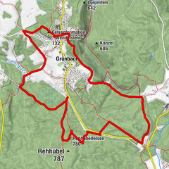
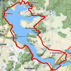
SchöneckAlter Söll (736 m)0.0 kmFreizeitanlage "Am alten Söll"0.0 kmEv.-Luth. Kirche "St.Georg"0.1 kmEschenbach3.0 kmSaalig6.1 kmHermsgrün8.1 kmWohlbach11.0 km
- Best season
-
JanFebMarAprMayJunJulAugSepOctNovDec
- Description
-
We cross the landscape on narrow village streets, dreamy villages line our way. The Moritz-Quelle (a spring), the "Pferdekopf-Steinkreuz" or the Färberlöcher are contemporary witnesses of old stories from the Vogtland.
- Directions
-
We start our tour at the lookout rock "Alter Söll". From up here you have a great panoramic view of the area through which our hike leads. We follow the yellow marking and leave Schöneck over the Galgenberg to Eschenbach. At the Kunsthaus Eigenregie we turn right and come to Saalig via village streets. The now green marking leads us via Hermsgrün to Wohlbach. It is worth taking a detour to one of the oldest village churches in the Vogtland. We leave the village on the Kammweg and return to Schöneck.
- Highest point
- 765 m
- Endpoint
-
Tourist Information Schöneck
- Height profile
-
 © outdooractive.com
 - Equipment
-
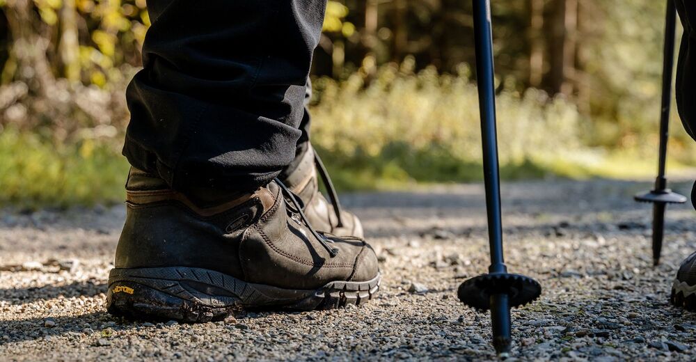
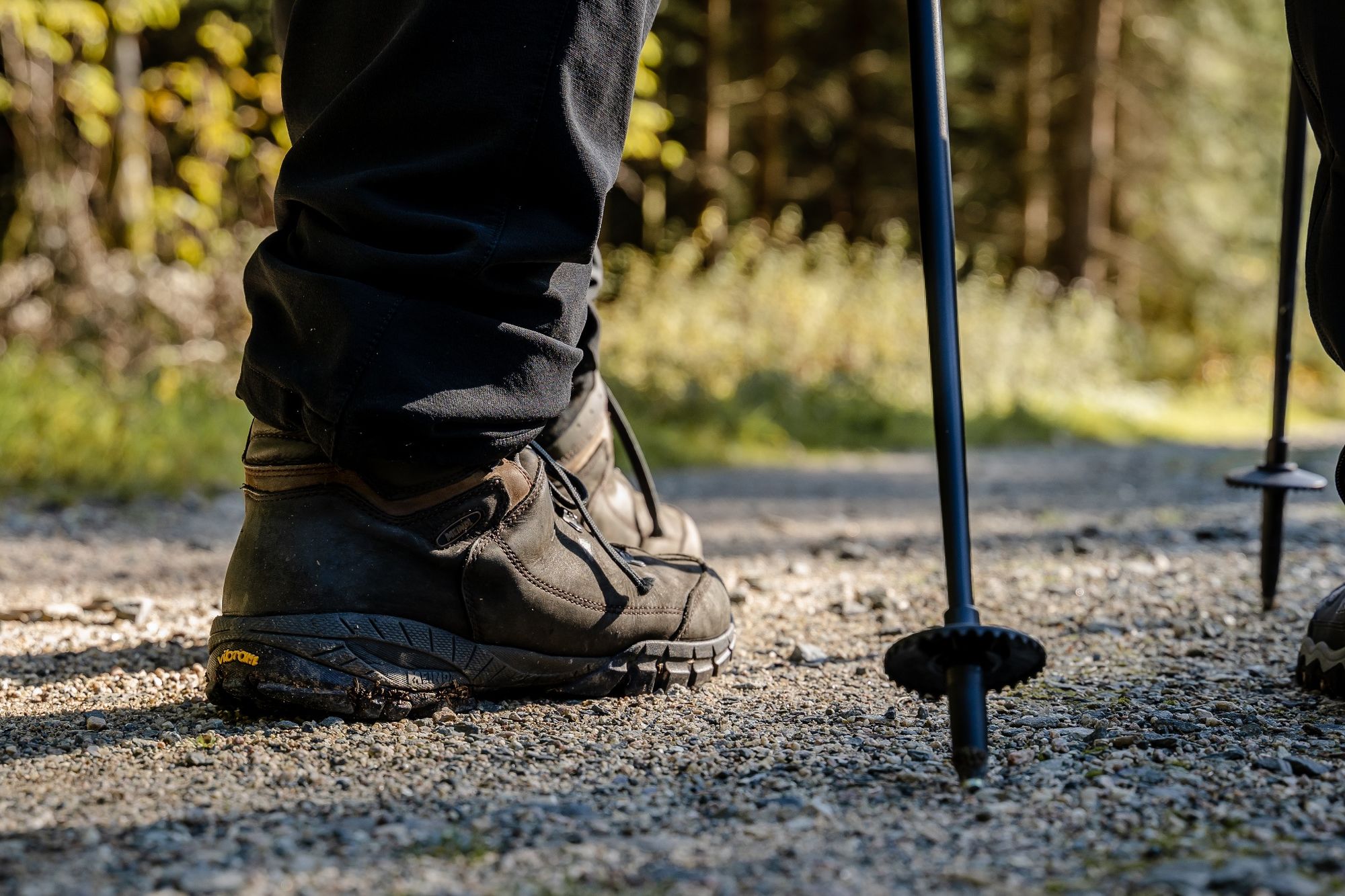
Walking shoes recommended but no special equipment required
- Tips
-
The Moritzquelle invites you to take a short break. You will find a wonderful view of the green forests of the Upper Vogtland.
- Additional information
- Directions
-
Motorway A72 from Leipzig, exit Plauen Ost, via Mechelgrün, Bergen, Poppengrün to Schöneck Motorway A93 from Bavaria to triangle Bayrisch-Vogtland, then A72 to exit Plauen-Süd and then via Oelsnitz, Tirschendorf and Arnoldsgrün to Schöneck.
- Public transportation
-
Take the RB1 line of the Vogtlandbahn to Schöneck station and then walk in the direction of the "Alter Söll" lookout rock.You can easily and comfortably reach Schöneck with the "TaktBUS22" bus from Muldenberg (Kirchstraße stop), the "+ Bus90" from Plauen / Oelsnitz (Sohrstraße stop), or the "TaktBUS93" from Bad Elster (Kirchstraße stop).You can find real-time timetable information on the website of the public transport company:http://www.vogtlandauskunft.de/
- Parking
-
On the market place
- Author
-
The tour Hike 6 - to Eschenbach, Saalig, Hermsgrün and Wohlbach is used by outdooractive.com provided.


General info
-
Vogtland / Sachsen
695
-
Schöneck
170