- Brief description
-
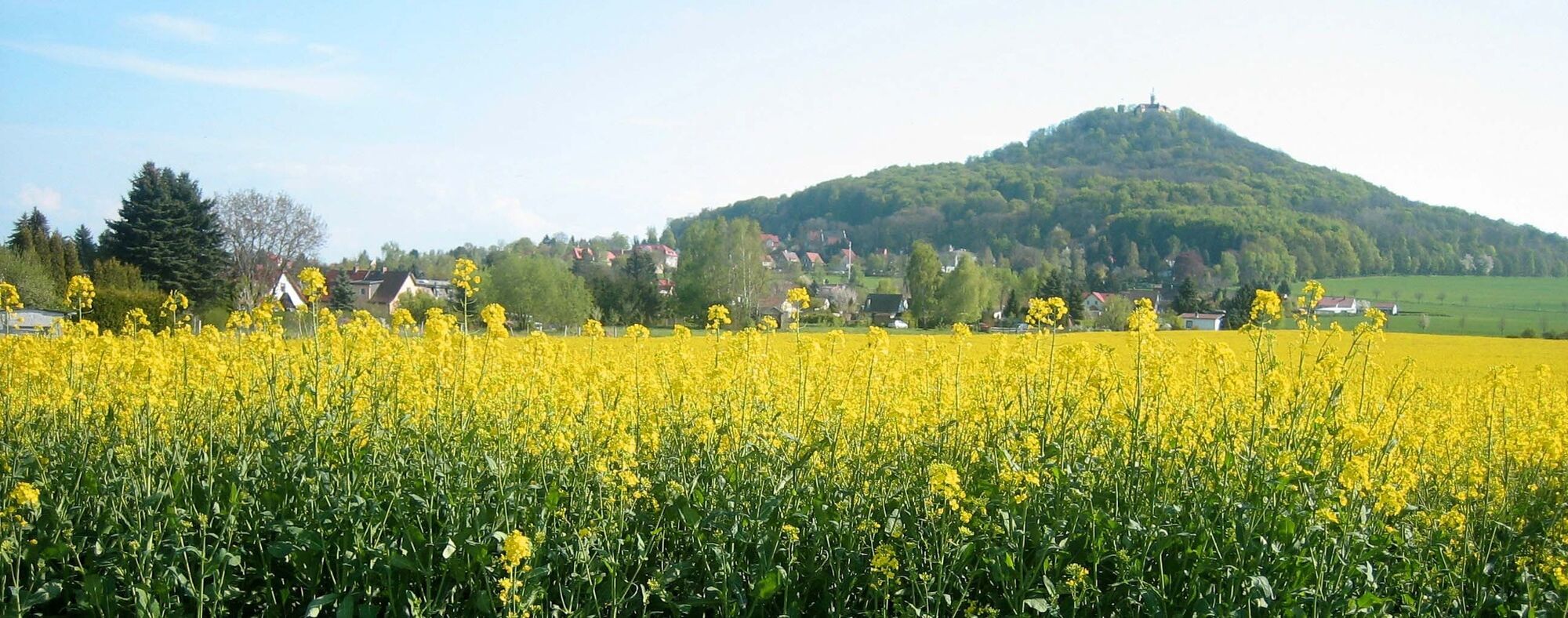
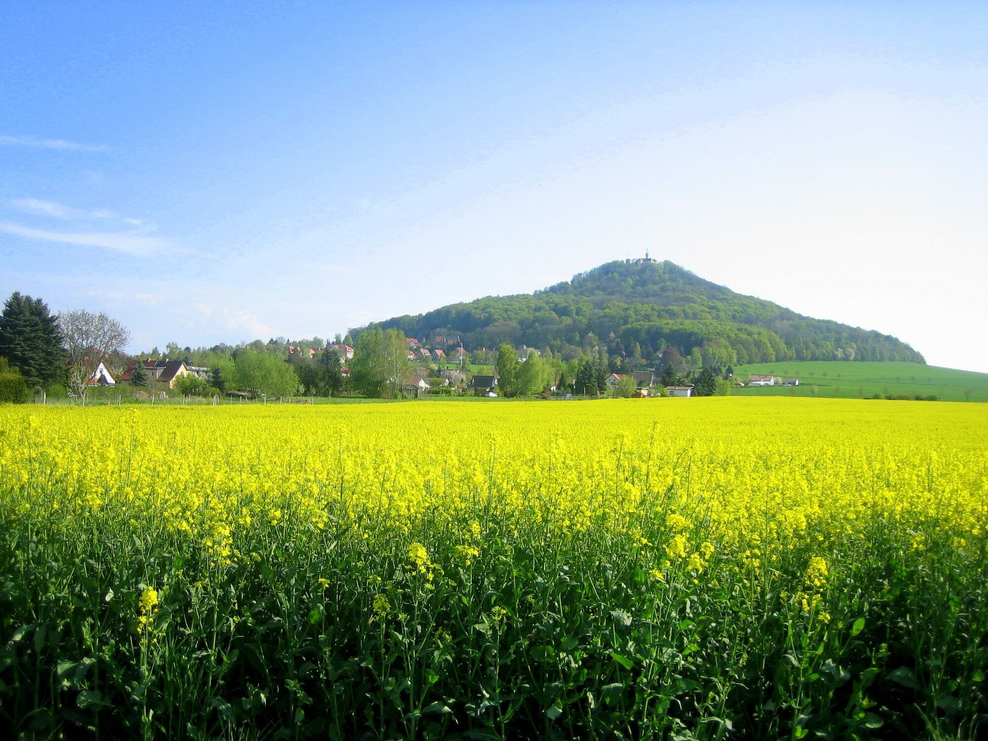
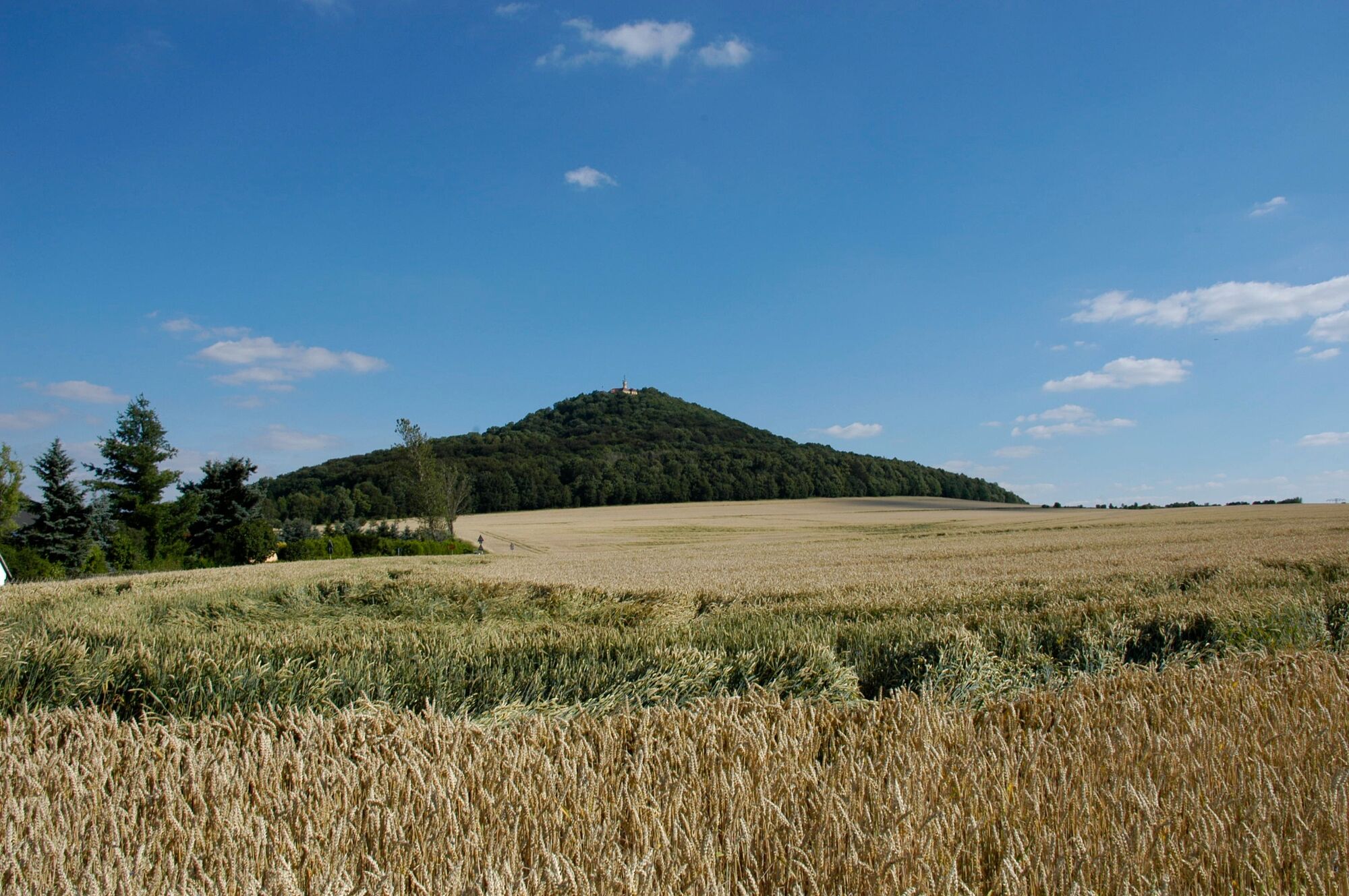
Walk to the local mountain of Görlitz called Landeskrone (420m above sea level) with impressive viewpoints, a monument and a restaurant.
- Difficulty
-
medium
- Rating
-
- Starting point
-
Biesnitz Landeskrone, tram terminus of tram line 2, Görlitz
- Route
-
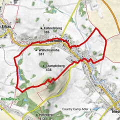
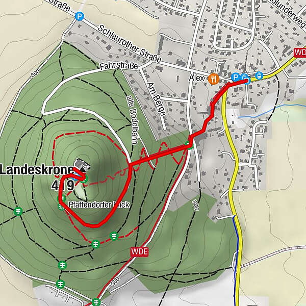
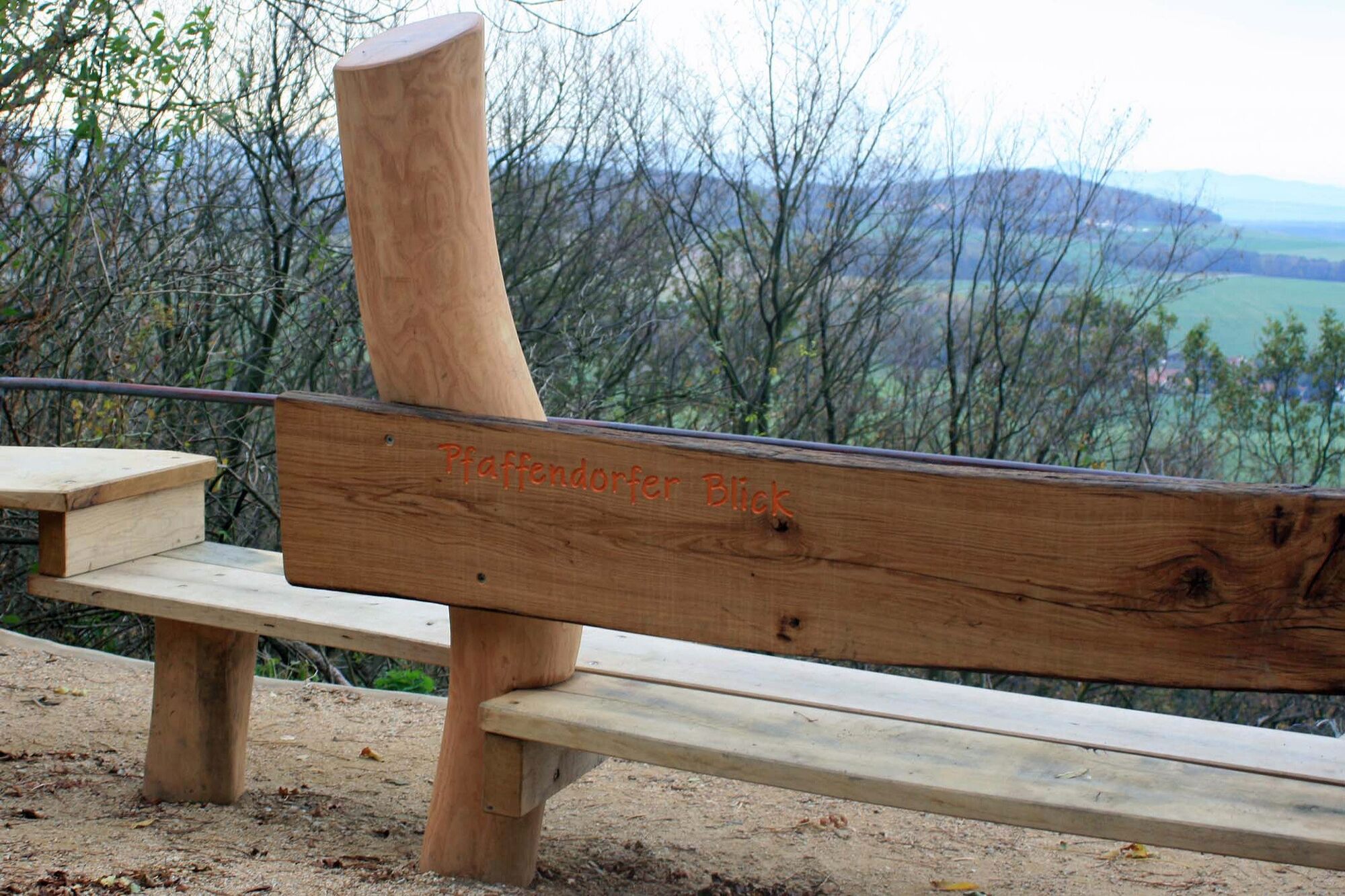
GörlitzChina-Thai0.0 kmPfaffendorfer Blick1.0 kmLandeskrone (419 m)1.2 kmBurghotel Landeskrone1.3 km
- Best season
-
JanFebMarAprMayJunJulAugSepOctNovDec
- Description
-
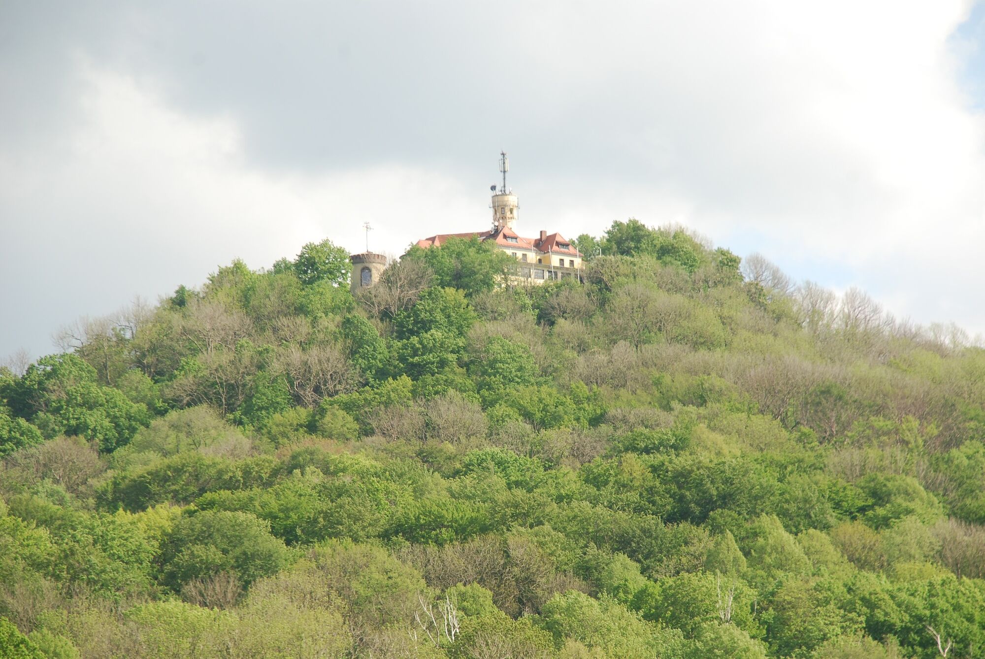
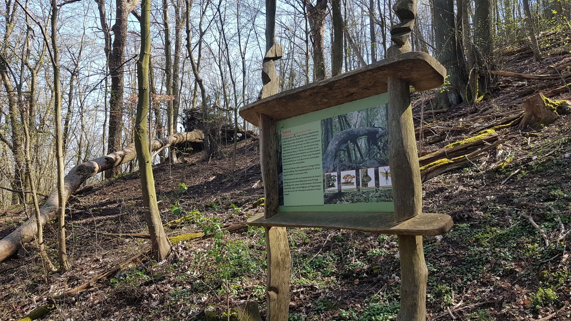
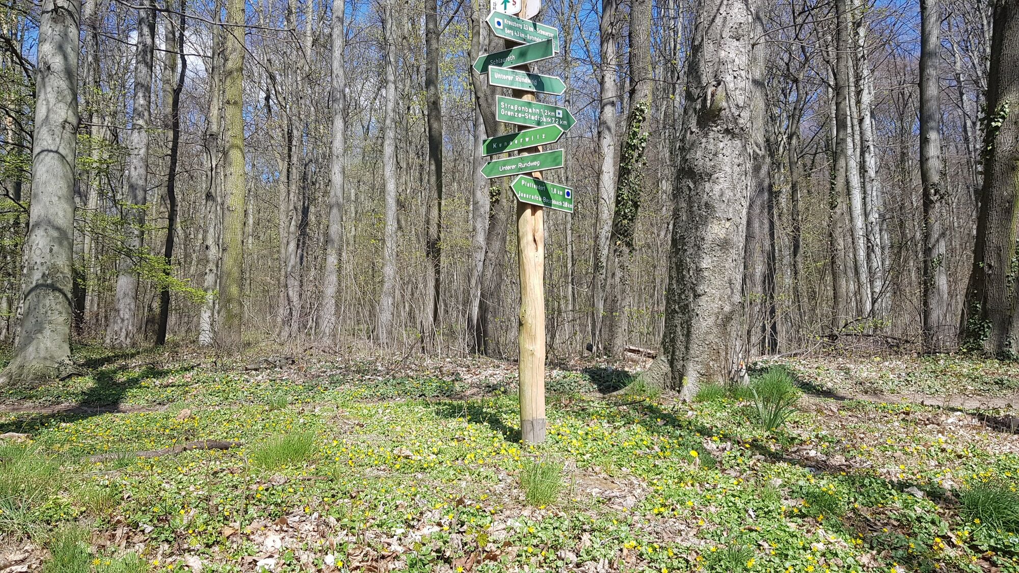
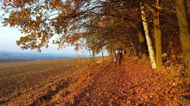
The local mountain of Görlitz, called Landeskrone (420m above sea level), is located directly at the "Hiking Trail of the German Unity" (blue mark). The area is a nature reserve (approx. 50 ha). Along the paths you can find many information boards about the flora and fauna of the mountain. Via Aufgangstraße you will reach Lindenallee. Take the stairs and continue walking along Fahrstraße towards the summit. During the walk you will pass hexagonal basalt columns that are very characteristic of the region.
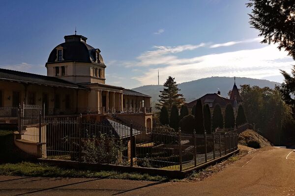
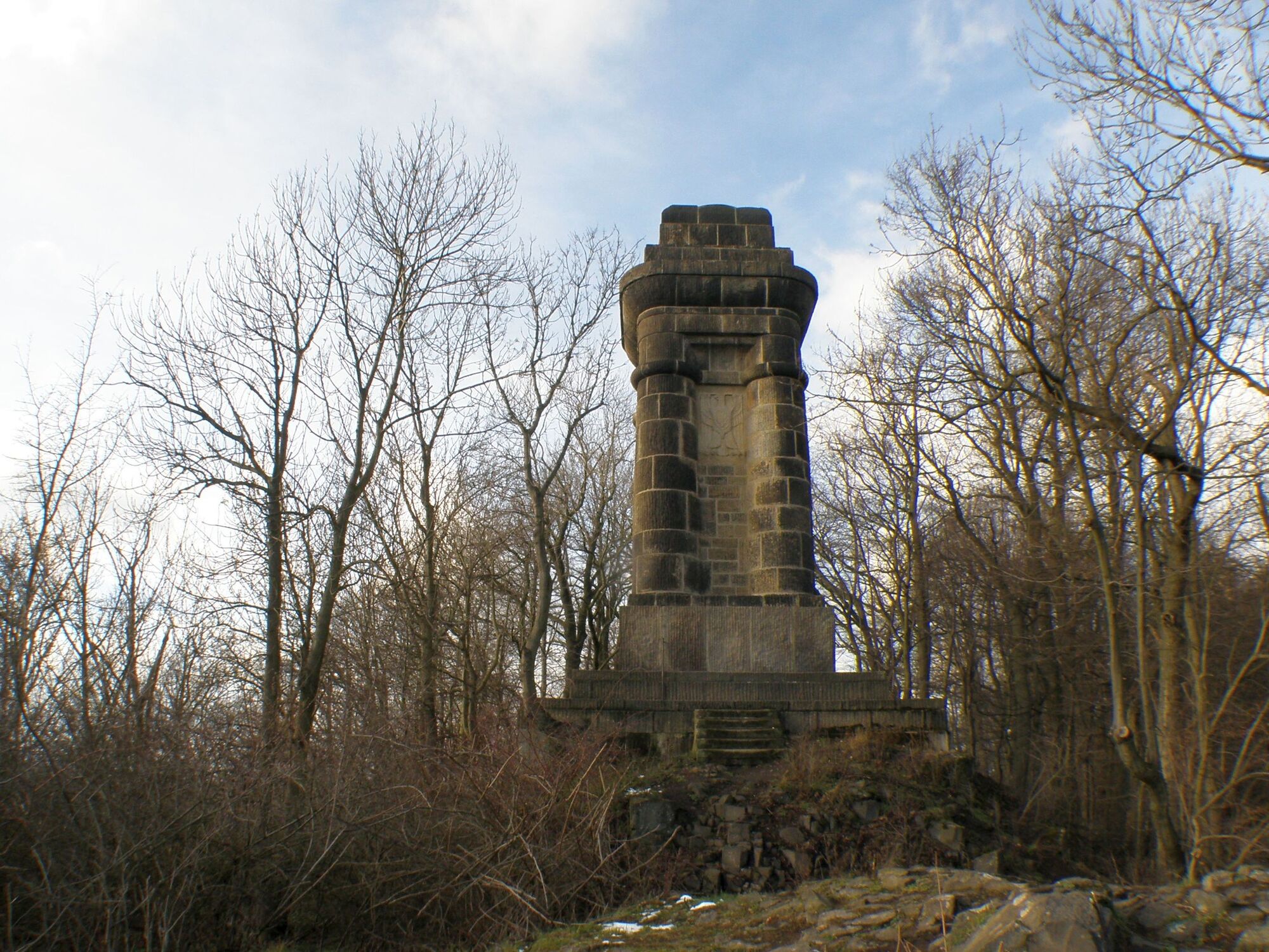
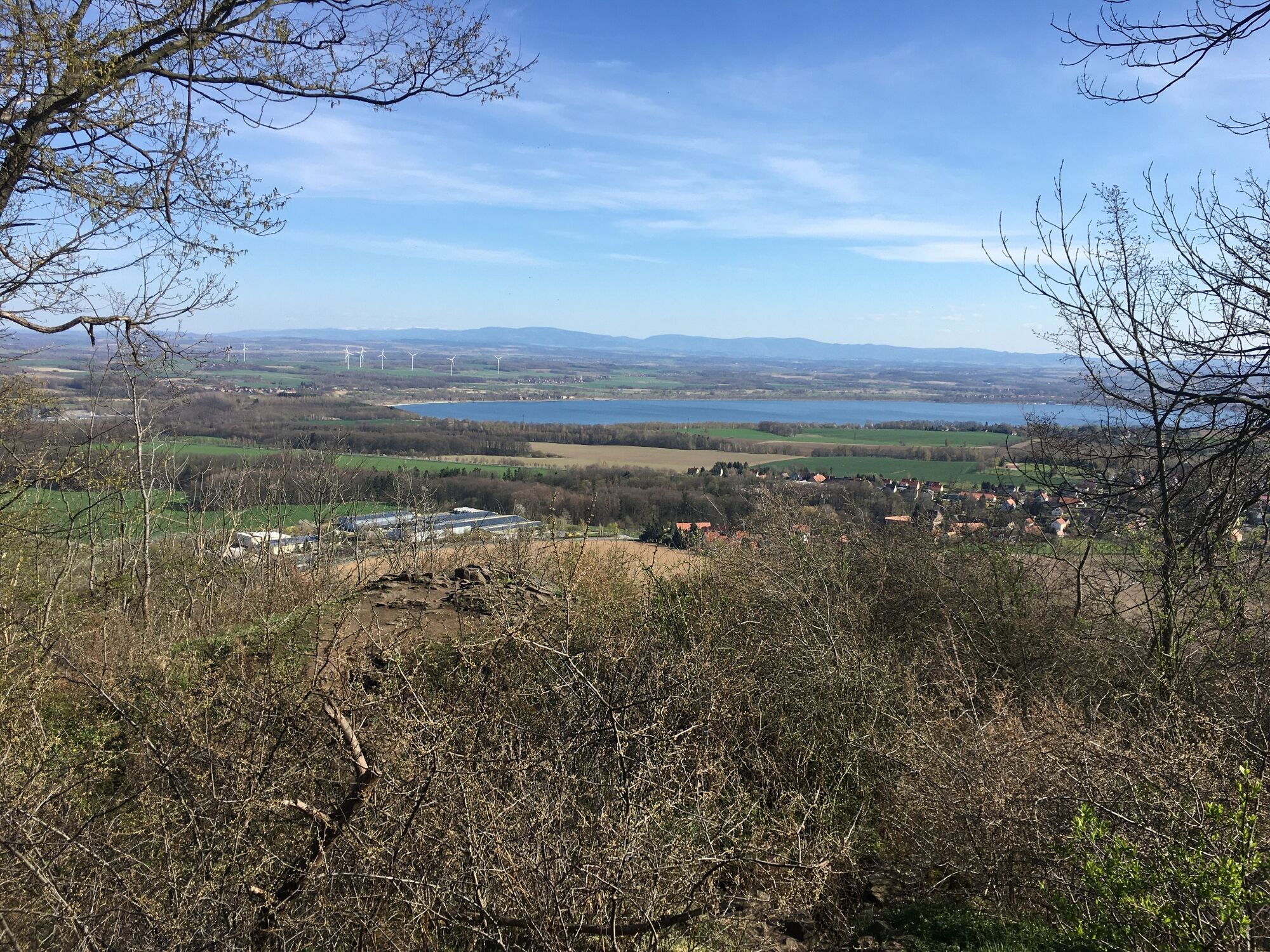
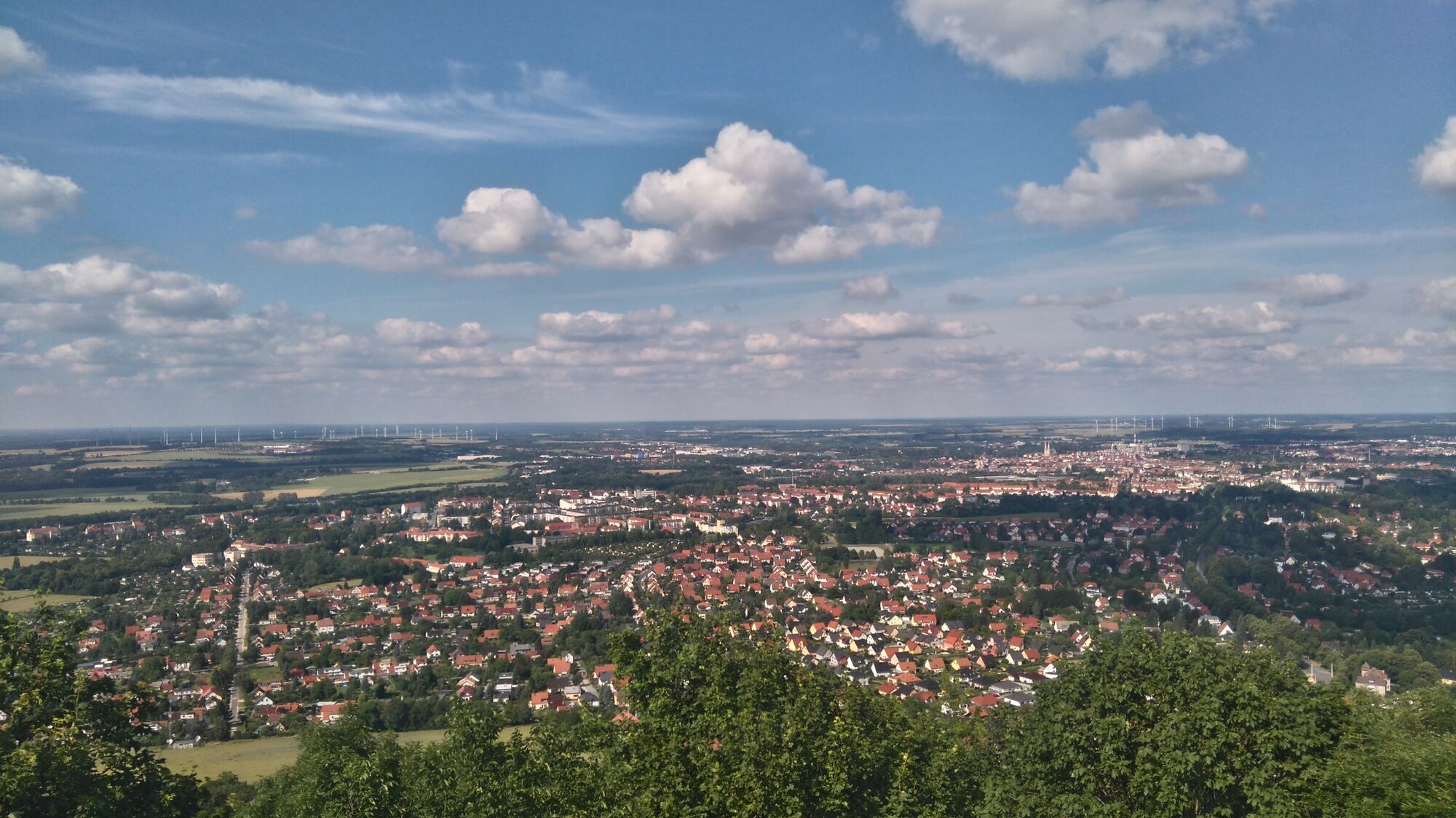
From the top of the mountain you have a breathtaking view of the city, Berzdorf Lake and the mountain ranges of the mountains of Zittau, Jizera Mountains and Sudeten Mountains. Ještěd with its prominent viewing tower and Sněžka (approx. 70 km as the crow flies) can be seen on a clear day, too. On the mountain saddle there is a restaurant with hotel. Near the summit a monument is located, the "Bismarck Tower". From here you have a beautiful view of Berzdorf Lake.
- Directions
-
From tram terminus of tram line 2 walk to Aufgangstraße. You will walk up a small hill to Lindenallee. Via the stairs of the Lindenallee continue walking along the Fahrstraße towards the summit. Alternative you can also take the left path from the Lindenallee and walk unhurriedly to the summit. In front of the summit there is a large meadow and at its end you will find the "Bismarck Tower". From here you have a beautiful view of the surrounding area.
- Highest point
- 406 m
- Endpoint
-
Summit of the Landeskrone, Görlitz
- Height profile
-
 © outdooractive.com
 - Equipment
-
Daypack (approx. 20 litres) with rain cover, comfortable and sturdy shoes, weather-resistant and hard-wearing clothing, walking sticks if necessary, sun and rain protection, provisions and drinking water, first aid kit, pocket knife, mobile phone, headlamp if necessary, map material
- Safety instructions
-
Driving into the nature reserve with motor vehicles is not allowed. For an exception you need an approval from the nature conservation authority of Görlitz.
Please stay on the paths in the nature reserve and observe the information on the nature reserve signs.
- Tips
-
Enjoy the silence of nature during your climb to the summit and discover the special flora and fauna of the nature reserve.
- Additional information
- Directions
-
- from Wrocław via motorway E40 and motorway A4 taking the gateway 94 to Görlitz and following the B6 and B99 in the direction of Biesnitz/Landeskrone
- from Dresden via Bautzen via motorway A4 taking the gateway 94 following B6 and B99 in the direction of Biesnitz/Landeskrone
- from Cottbus via B115, then B6 and B99 to Görlitz in the direction of Biesnitz/Landeskrone
- from Zittau via B99 to Görlitz in the direction of Biesnitz/Landeskrone
For further information: https://www.visit-goerlitz.com/Anreise.html
- Public transportation
- Parking
-
Parking is possible in Biesnitz at the tram terminus of tram line 2 and in Christian-Heuck-Straße as well as in Schlauroth.


-

-
AuthorThe tour Walking tour to the Landeskrone near Görlitz is used by outdooractive.com provided.