© Klaus Hurtienne - Wandermagazin

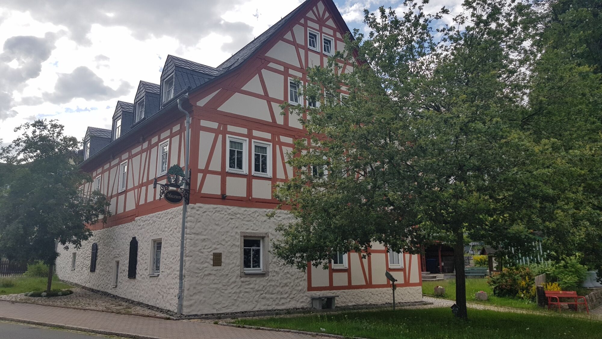
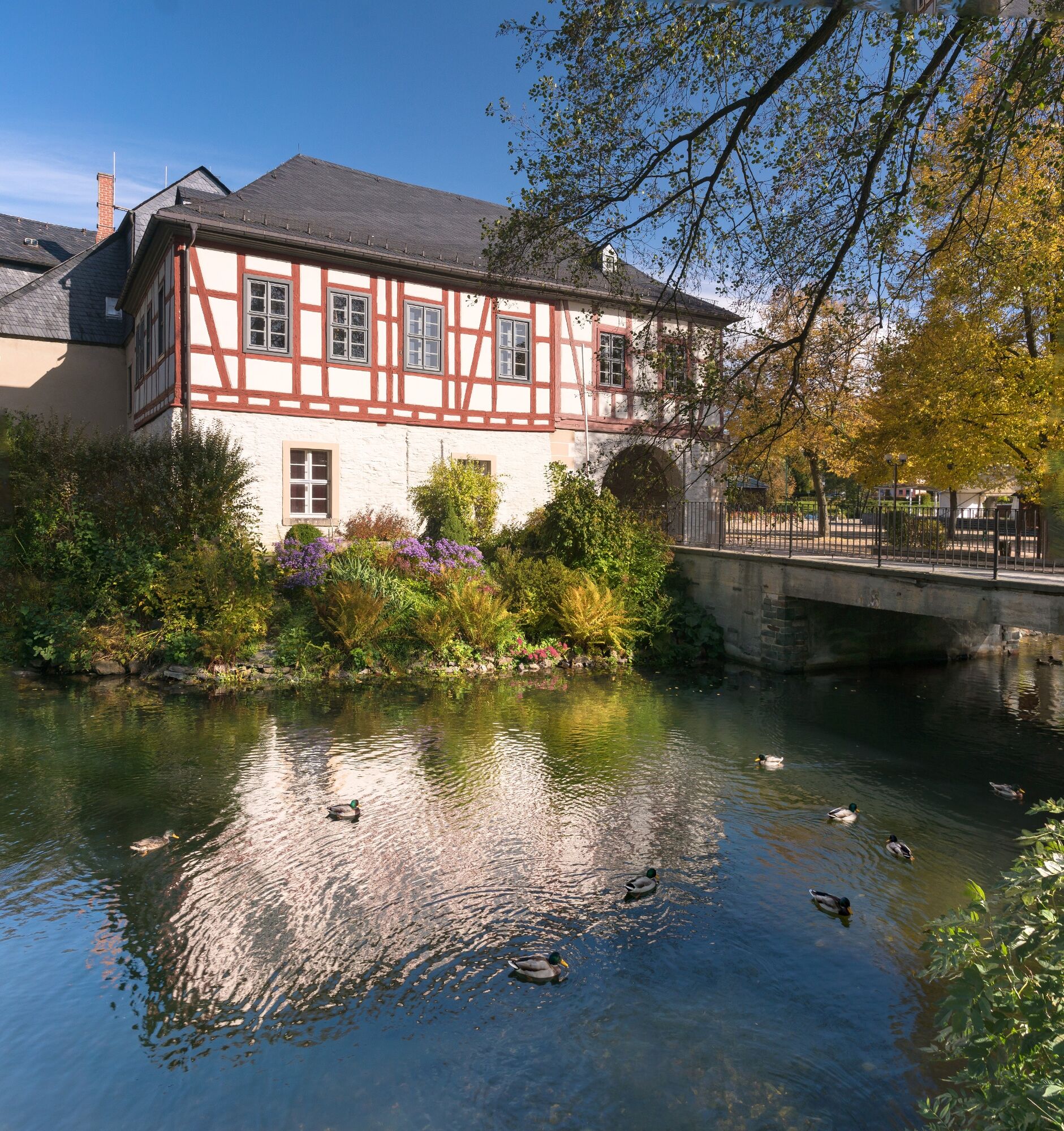
© Archiv Stadtverwaltung Rodewisch

© Archiv TVV, T.Peisker

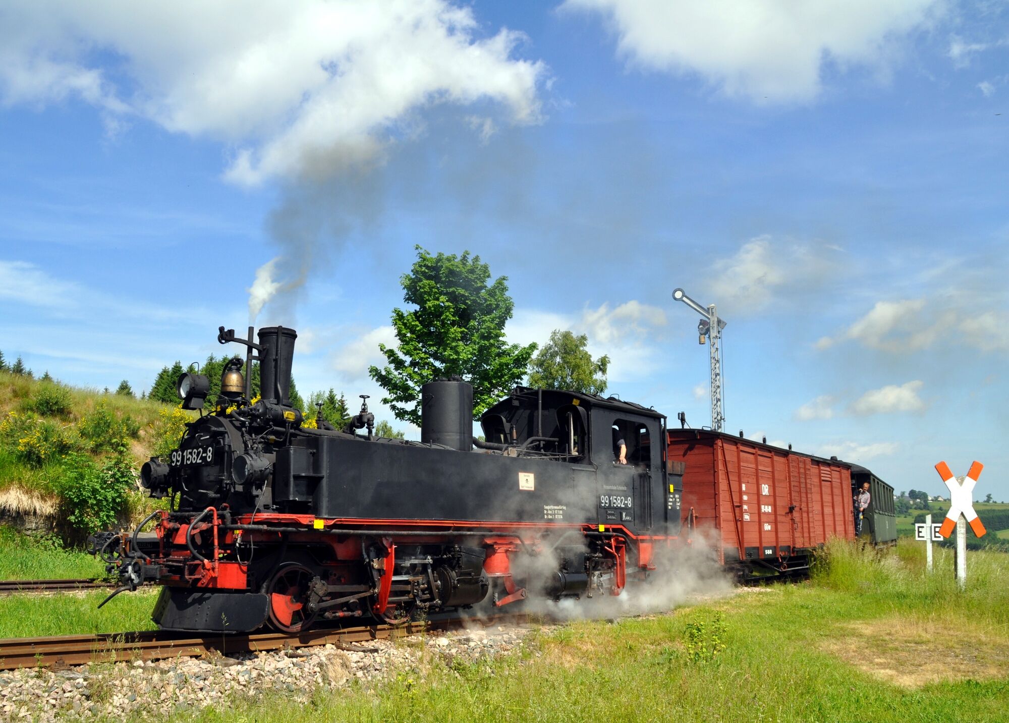
© Archiv Museumsbahn Schönheide, M. Poller

© Archiv TVV/D.Wießner

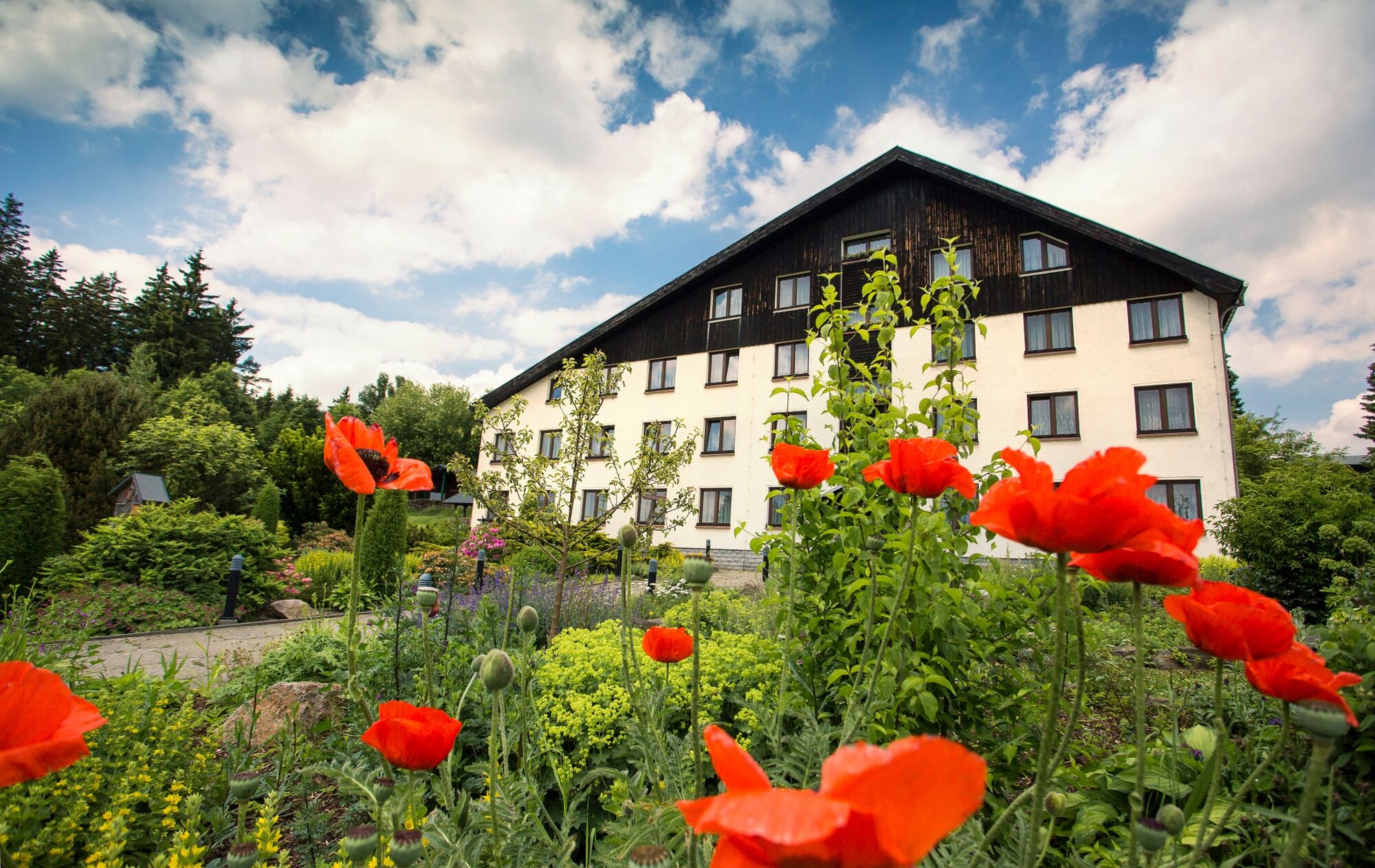
© Hotel Forstmeister

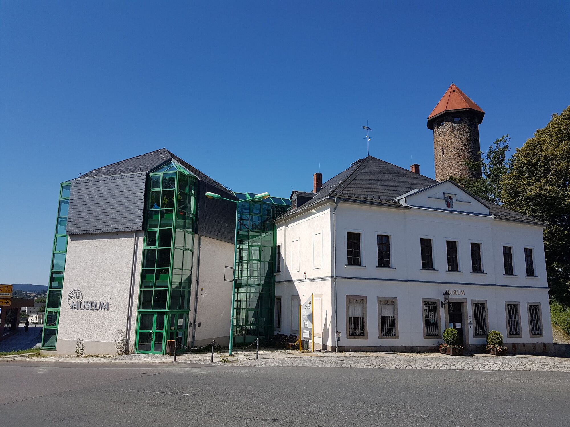
© Archiv Stadt Auerbach, C. Gerisch

© Archiv TVV / Sebastian Theilig


© Archiv TVV/D.Wießner

- Brief description
-
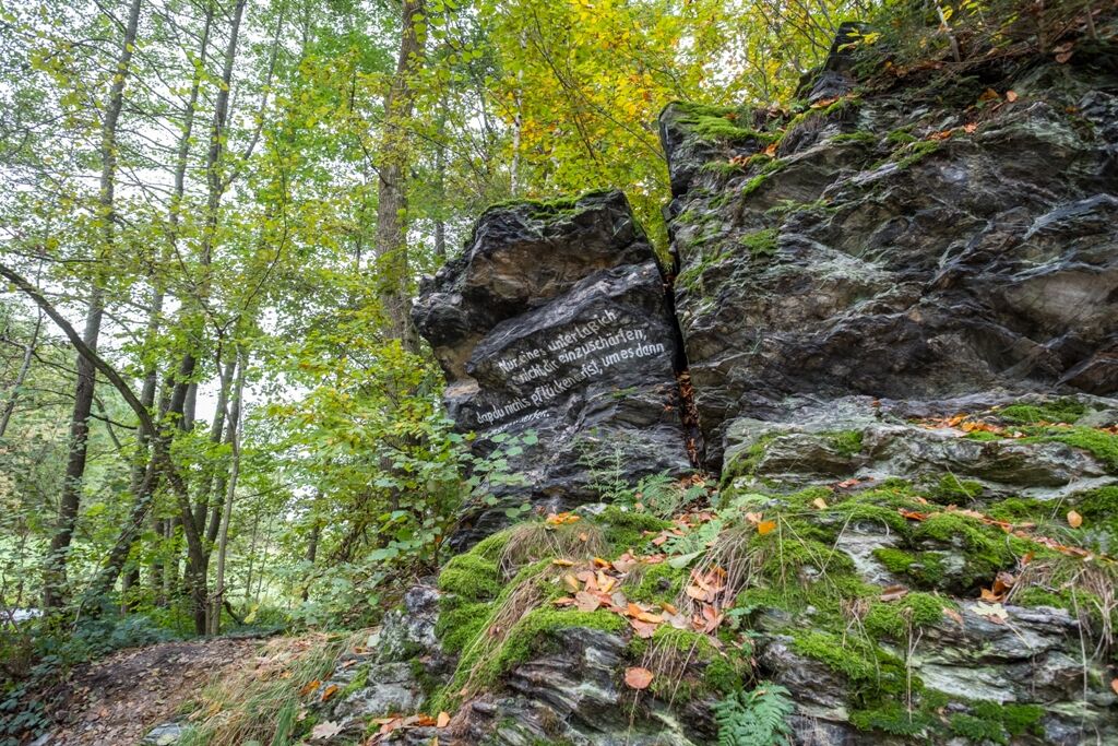
Bierdorf - Poetenweg und nochmal in die Sterne schauen!
Heute wird die Berglandschaft des Vogtlandes verlassen. Noch einmal gilt es einen hohen Berg, den Kuhberg bei Schönheide, zu erklimmen. Anschließend folgt ein langer Abstieg nach Rodewisch, wo man nach 10 Tagen wieder auf die Göltzsch trifft – das Ziel ist greifbar nahe!
- Difficulty
-
medium
- Rating
-
- Route
-
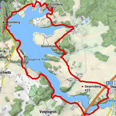
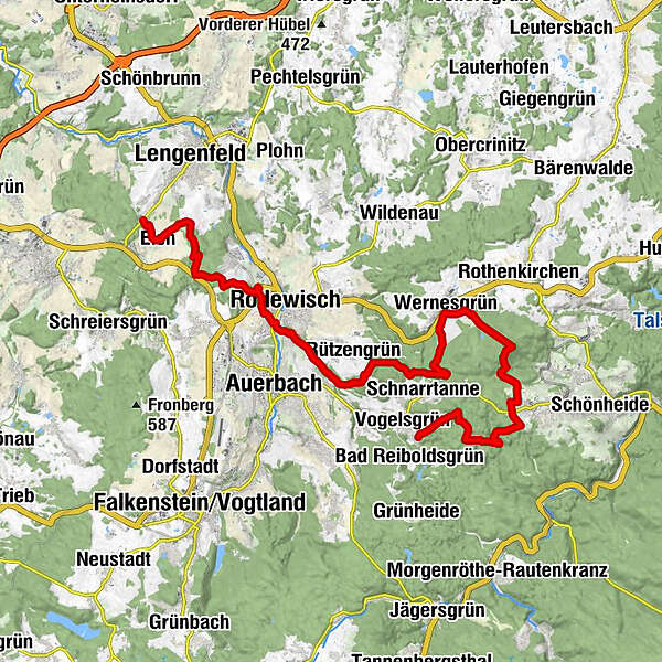
Kuhberg (794 m)7.8 kmWernesgrün10.3 kmHahnenhäuser (620 m)12.6 kmAuerbach (555 m)17.6 kmRodewisch19.3 kmSchanzenbaude21.1 kmEich26.0 km
- Best season
-
JanFebMarAprMayJunJulAugSepOctNovDec
- Highest point
- 788 m
- Endpoint
-
Lengenfeld
- Height profile
-
 © outdooractive.com

- Author
-
The tour Vogtland Panorama Weg® - Etappe 11 (Vogelsgrün - Lengenfeld) is used by outdooractive.com provided.
GPS Downloads


General info
Refreshment stop
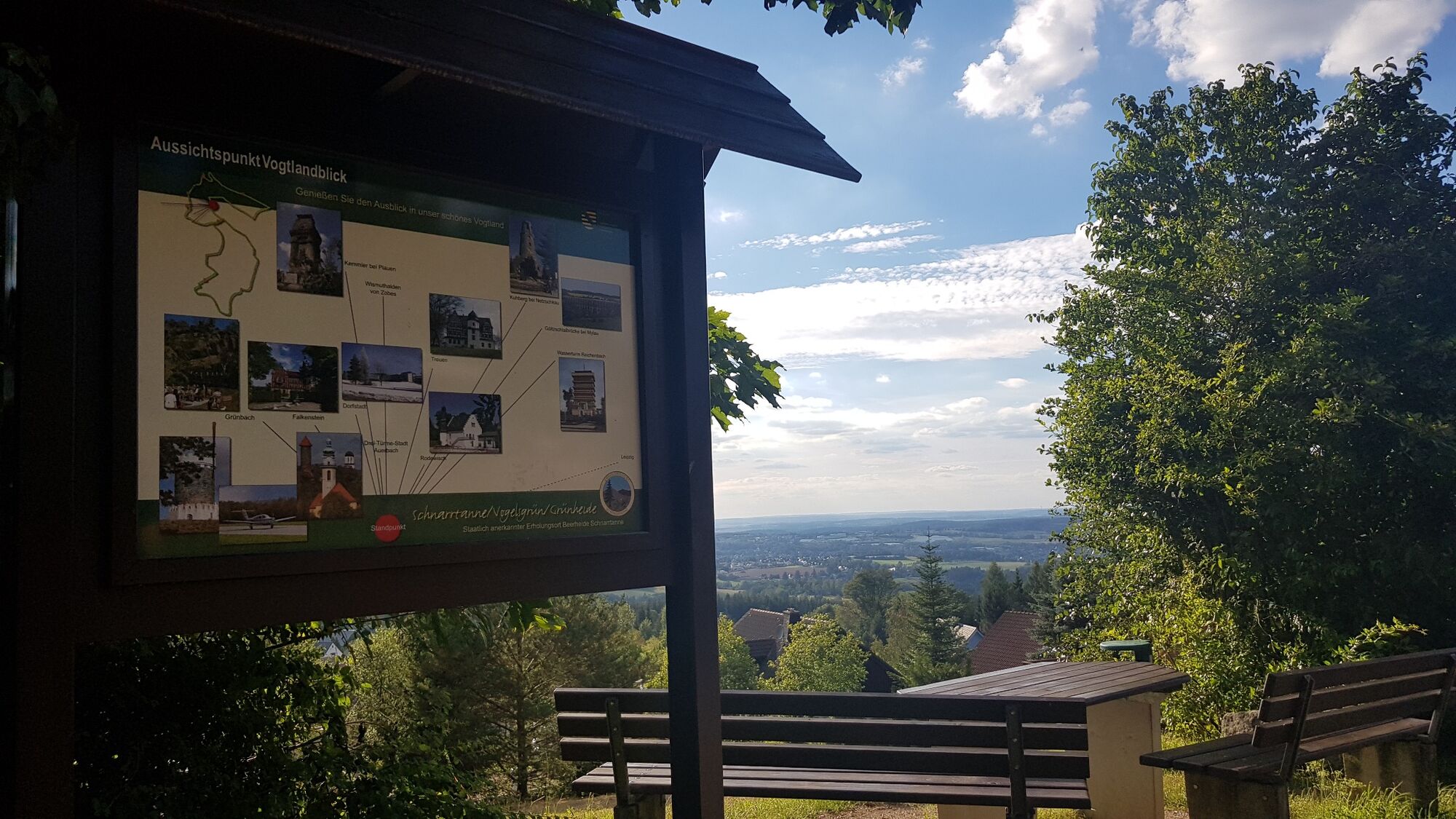
A lot of view
Other tours in the regions
-
Vogtland / Sachsen
696
-
Erzgebirge
408
-
Auerbach im Vogtland
121