- Brief description
-
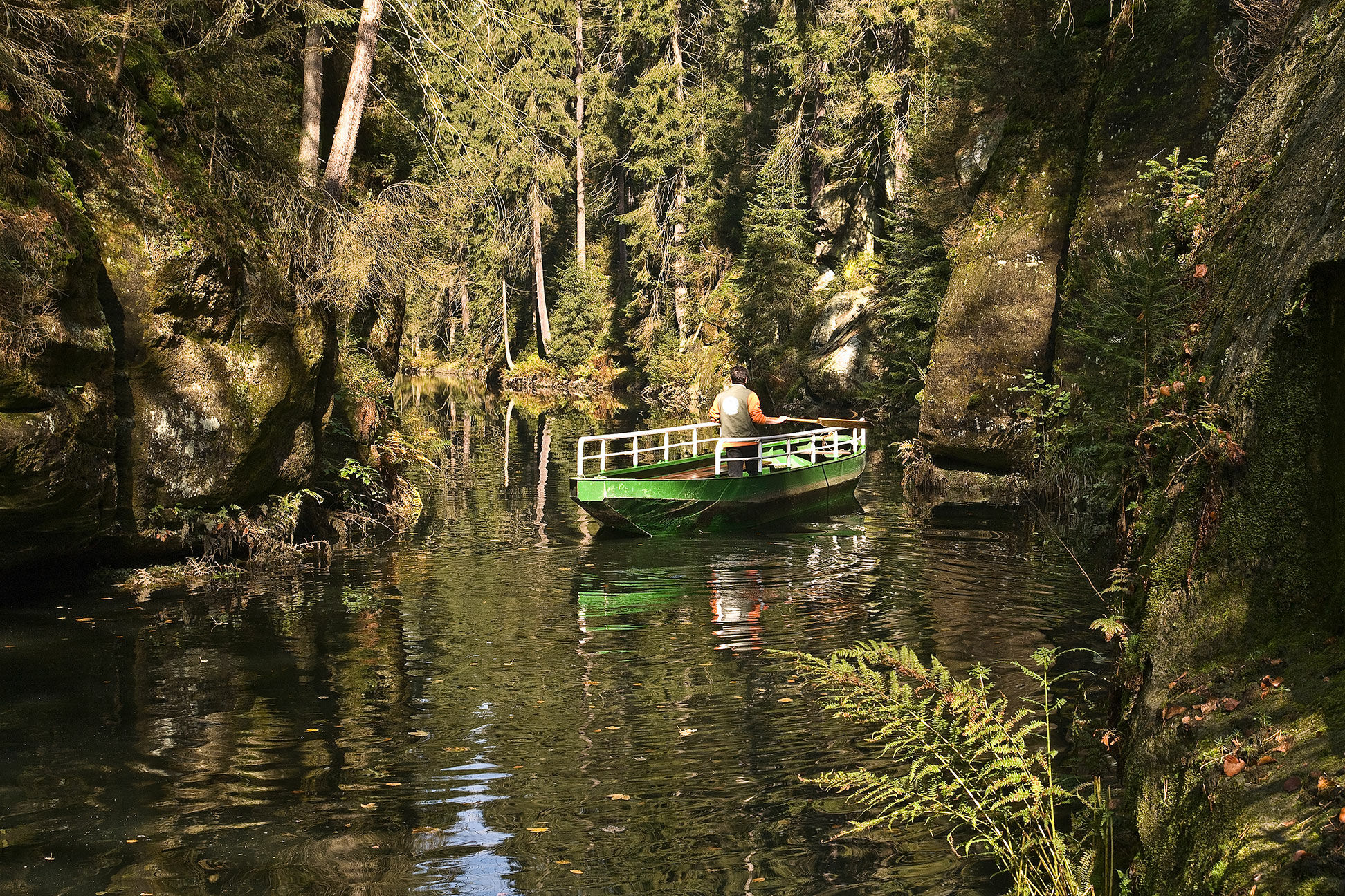
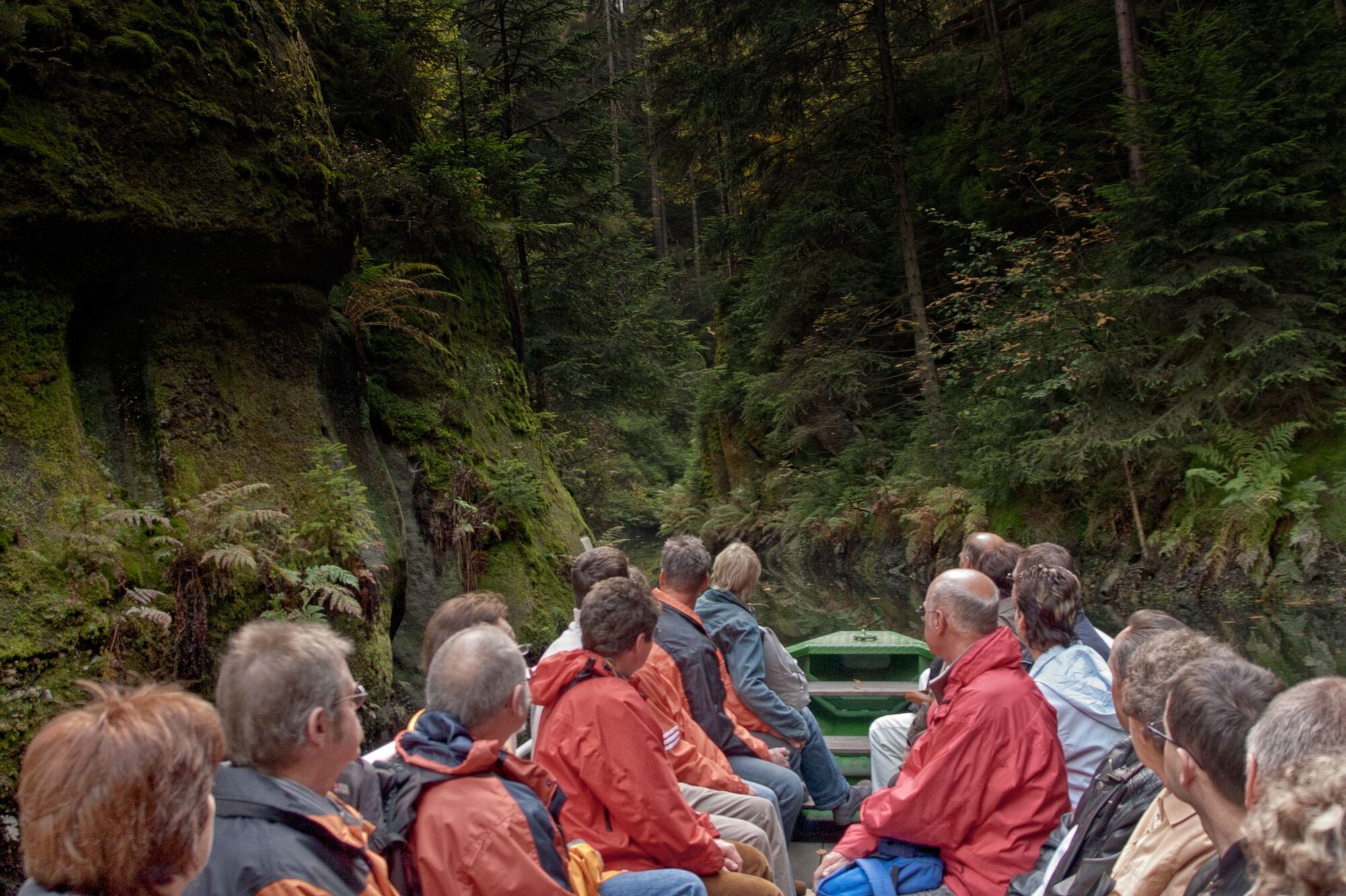
In the easternmost region of the Saxon Switzerland is located the resort Hinterhermsdorf. It lies right at the border of the Saxon Switzerland but still in the Elbe Sandstone Mountains. From this place numerous hiking tours start into the eastern and southern located Bohemian Switzerland. Of course the Saxon Switzerland also offers many attractive excursions. The most popular is probably the Kirnitzschklamm gorge; also known as Obere Schleuse (Upper gate). In this area the river Kirnitzsch flows through such a narrow gorge, that it is only possible to get downriver on a rowing-boat. During the winter time, this is not possible anymore. The boat station opens again in Easter time. The route of the river Kirnitzsch leads to the "disappeared" village Hinterdittersbach. After that we arrive at the Niedere Schleuse (Lower gate) and from there we advance further into north-east direction to the Brüdersteine (brothers stones).
- Difficulty
-
medium
- Rating
-
- Starting point
-
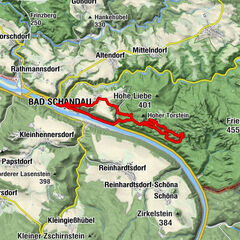
village Hinterhermsdorf at the Buchenparkhalle
- Route
-
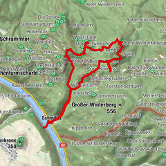
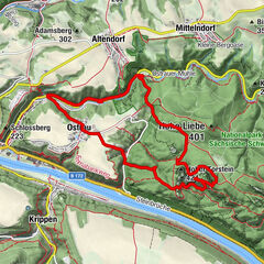
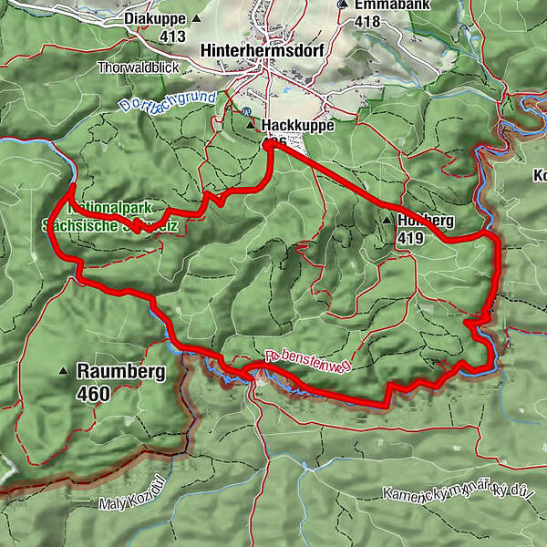
Dachshöhle1.3 kmBootsstation Obere Schleuse2.2 kmKamel2.5 kmLöwe2.6 kmBootsstation Untere Schleuse2.9 kmSchleusenhorn3.0 kmHermannseck3.1 kmKirnitzschkönig4.8 kmRabensteinturm6.0 kmRabensteine6.3 kmKirnitzschkegel6.5 kmMarienquelle8.1 kmBrüdersteine10.4 km
- Best season
-
JanFebMarAprMayJunJulAugSepOctNovDec
- Description
-
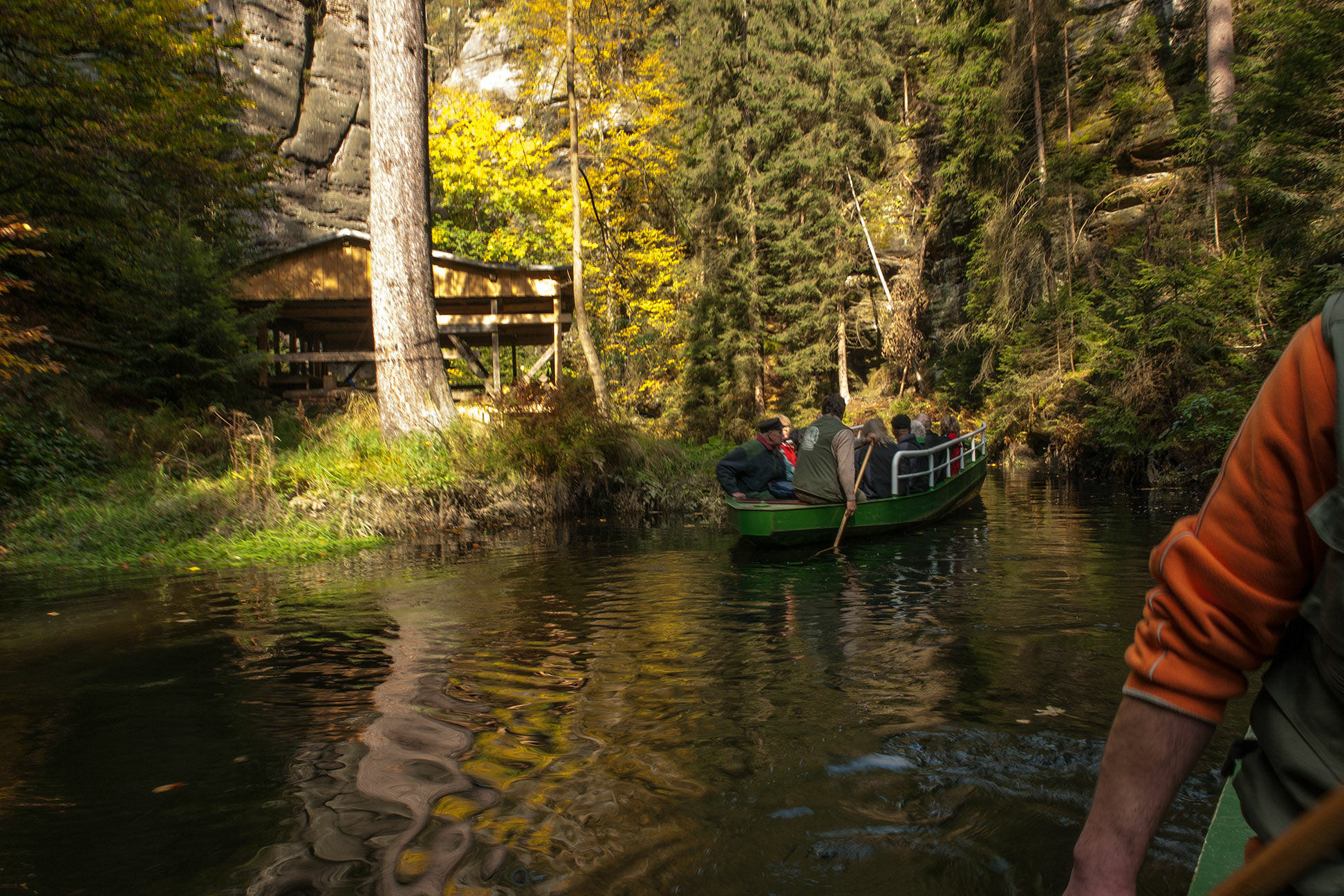
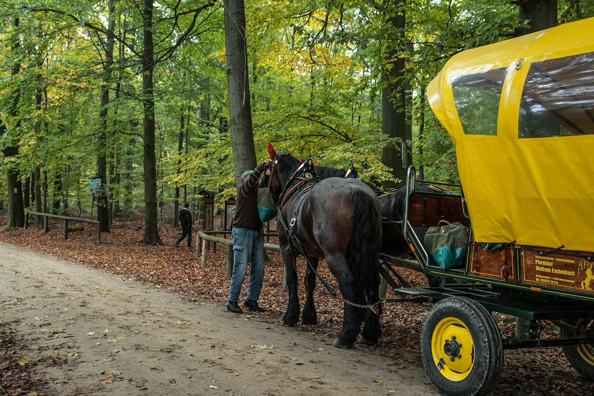
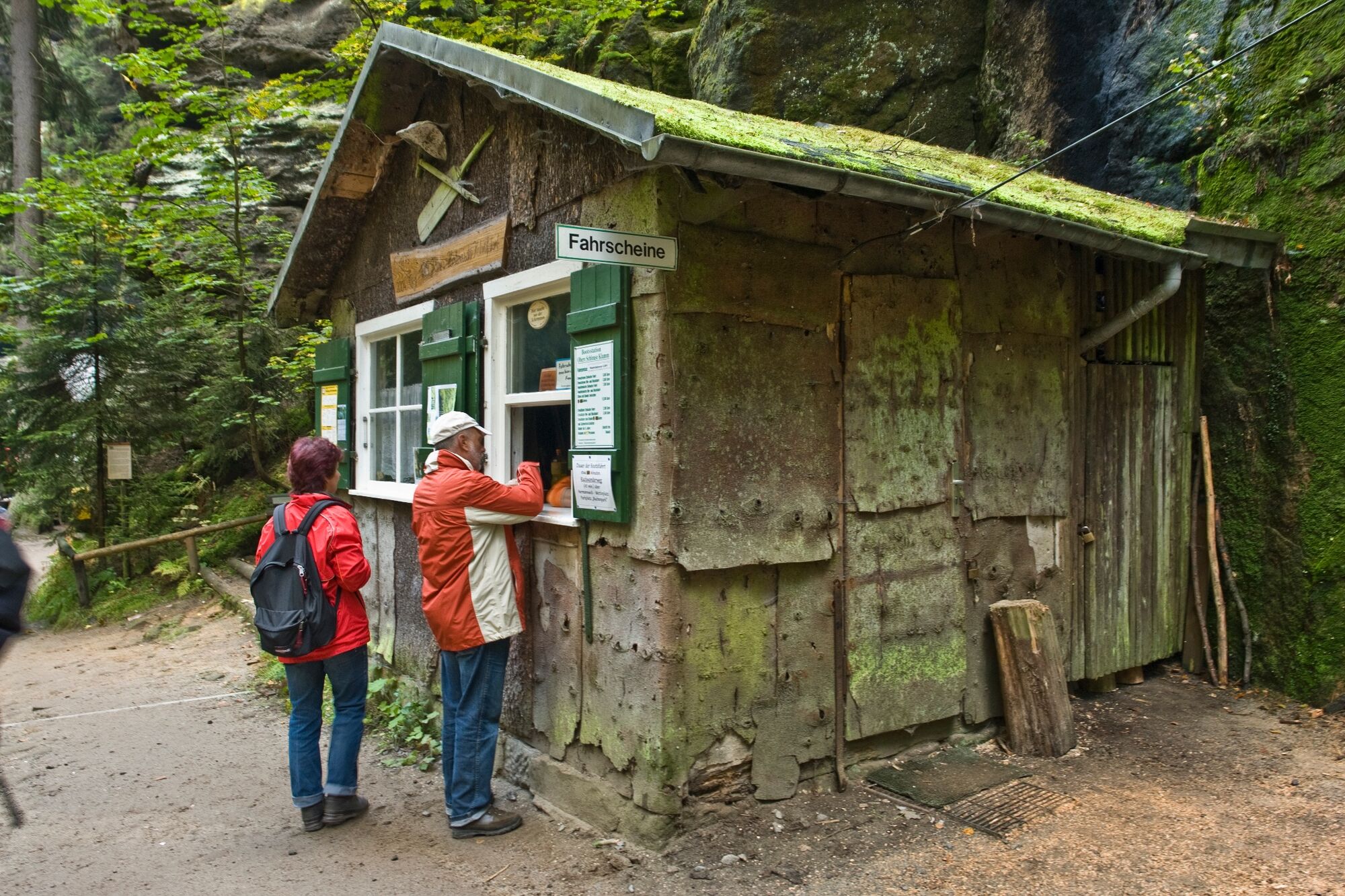
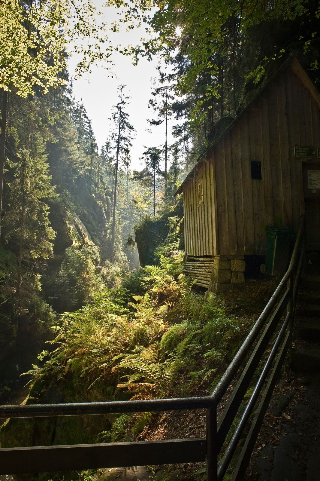
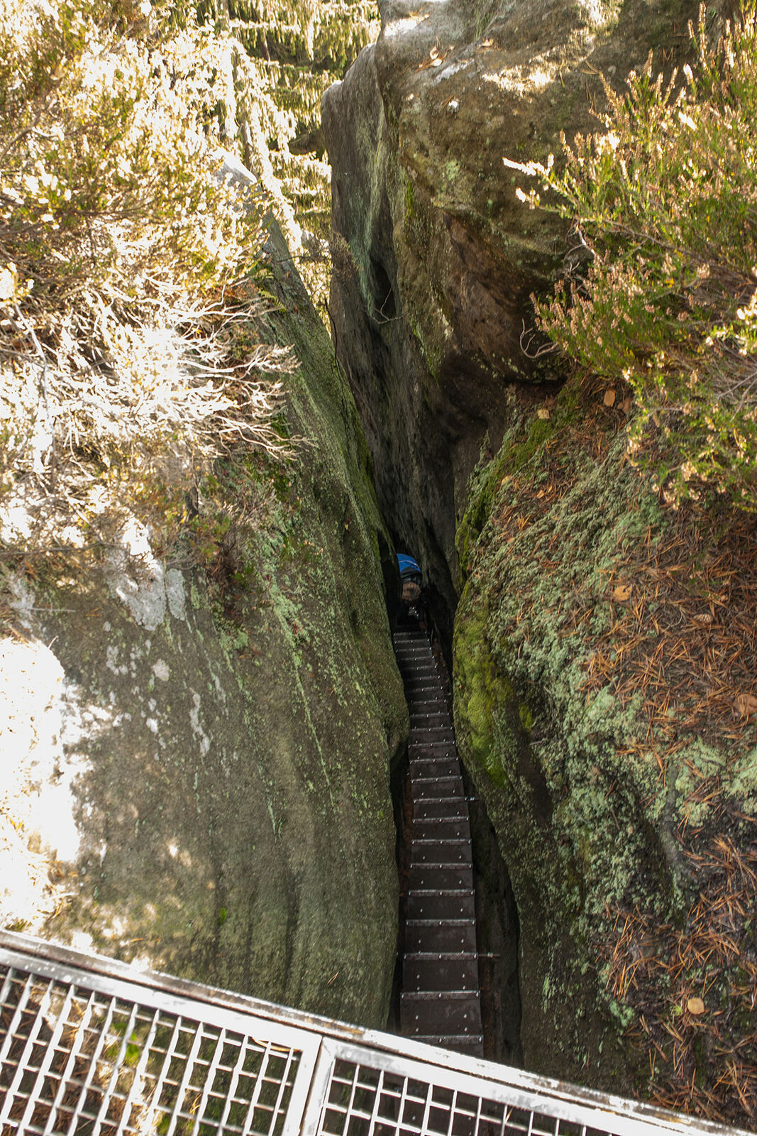
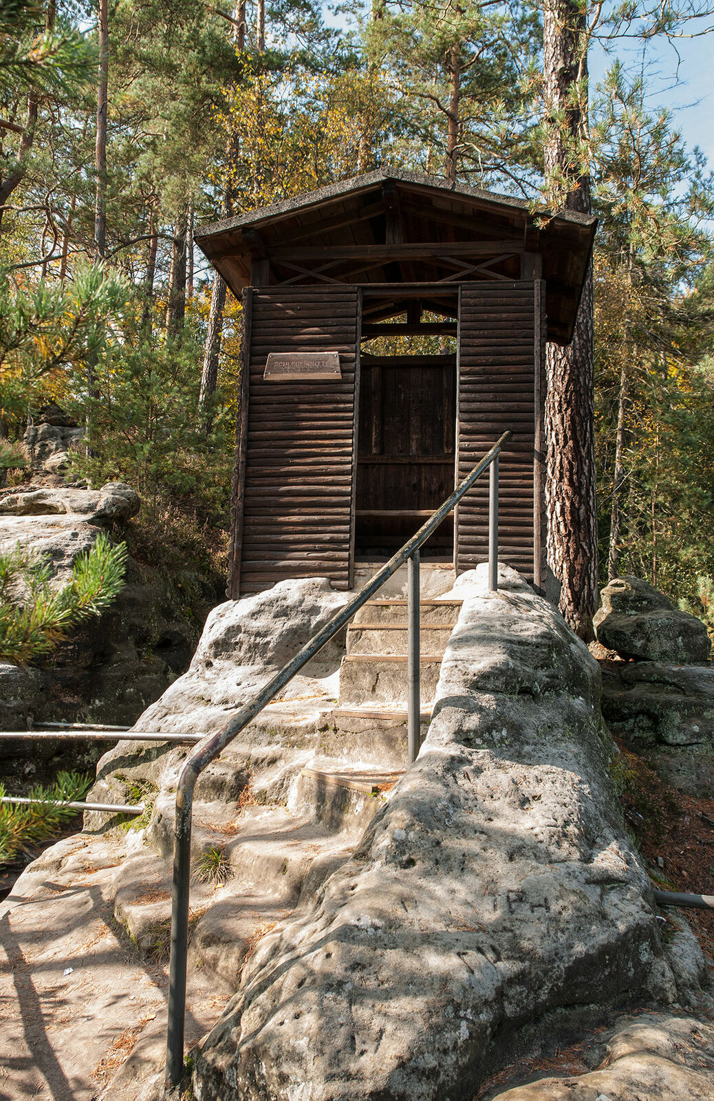
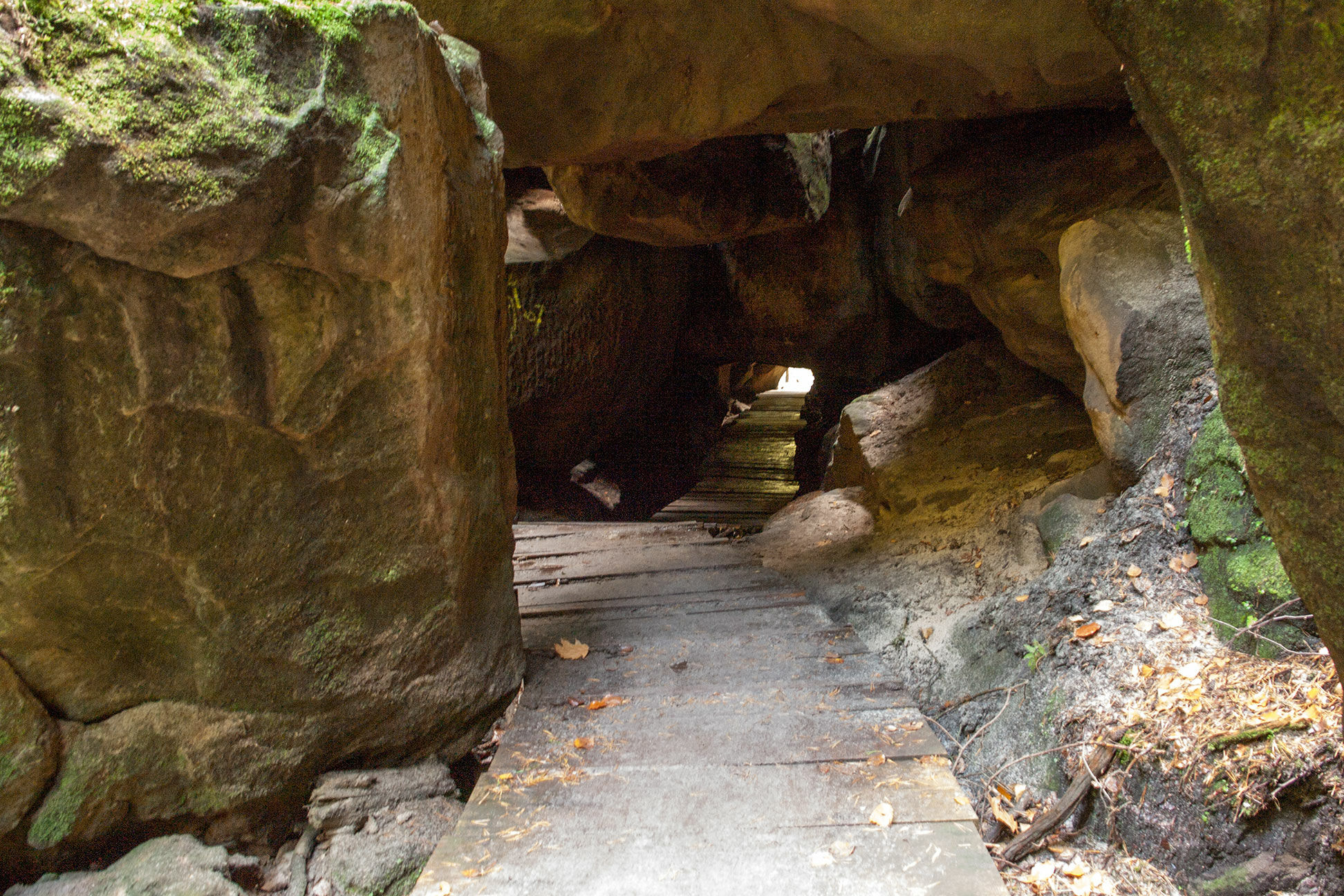
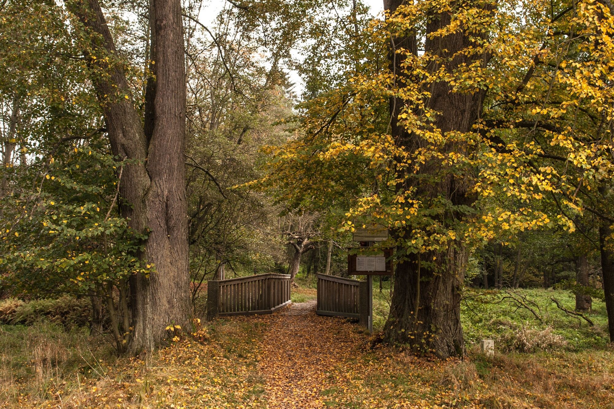
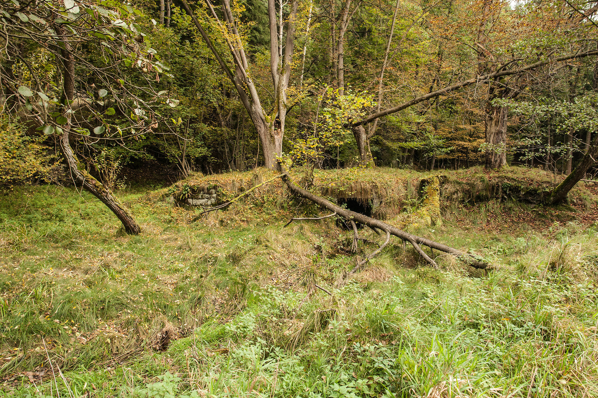
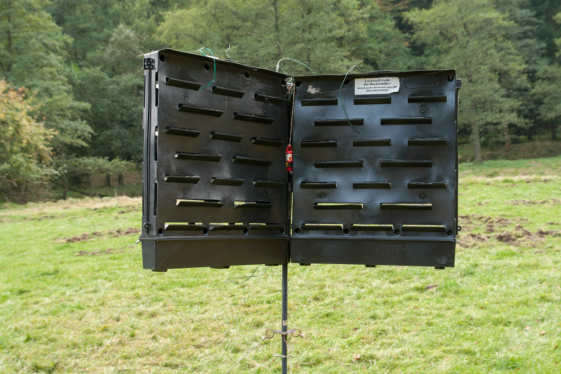
Most of time throughout the year (excluding holidays) the Saxon Switzerland Hinterland is not in the focus of tourist interest. This following hike is easy to manage even for casual hikers. It is still important to remember that only at the start and the finish of our tour gastronomy options are available. The Buchenparkhalle hall is open from April to October, daily opening is at 10 o'clock. In the winter months the restaurant is only open on weekends from 11 o'clock. We start our hike at the Buchenparkhalle hall toward the blue and red line waymarks. The route takes us straight and without any altitude differences past a allotment garden area on our left side. At the end of the allotment garden area, the trail turns to the Königsplatz lookout point (Royal Square) with the red line waymark. We further follow the blue line waymark and reach a crossroads to Hohweg (forest road with green line waymark). From here we descend partly over stairs to the boat station at the Obere Schleuse (upper watergate). If you are not resilient enough, it is also possible to drive to the boat station with a horse carriage. The river Kirnitzsch at this time appears very peaceful and it is hard to imagine that back in August 2010 after heavy rains the water-level touched the windows of the boat station. During this flood the driftwood devastated numerous mills downriver, as well as the street Kirnitzschtalstraße. Those who do not want to make a boat trip can also choose the hiking trail which runs parallel to the Kirnitzschtal valley. For first-time visitors the boat trip through the botanically interesting gorge is highly recommended. The boat trip tourism was established here since 1879. However, the gate system with its dams was used until 1964 for the dispatch of tree trunks. The mills in Kirnitzschtal valley processed much of this wood (eg. the technical monument Neumannmühle). From the 80 cm deep mooring the boat ride takes us over 700m up to the 4 metres high dam. The boatman informs passengers in a very entertaining way about the surrounding nature. In the Kirnitzschklamm gorge exists such a micro climate, that it dramatically differs from the sparsely vegetated rocks. The daily temperature differences in the gorge only measure a few degrees. During autumn in many locations the direct sunlight ends. Thus, lichens and mosses can develop perfectly. Botanists speak of a height scale inversion, which allows the growth of arctic-alpine silicate mosses and conifers, which are otherwise only found in the higher mountain areas. At the dam we continue by foot. After 200 meters a short detour to the Schlegel hut at the Hermannseck is recommended. We reach the Schlegel hut by climbing up the iron ladders through an only 50 cm wide rock chimney. On the top we can enjoy a picturesque view into the Kirnitzschtal valley. Thereafter we return back down. It should be noted that up to the ruins in Hinterdittersbach the course of the river Kirnitzsch also marks the border between Germany and Czech Republic. Therefore it is not surprising to discover the remains of the Schönlinder bridge on both sides of the Kirnitzsch after another 300 meters. At this point also ends the czech trail (blue line waymark) at the rock crossing "Schwarzes Tor" (black gate). There used to be a direct connection to the Saxon hiking trails ... we are still hoping for wise decisions of the National Park authorities in both countries in the future. The river Kirnitzsch now flows toward west and we reach the gorge Wolfsschlucht. On our descent we walk through the Bärenhöhle (bear's cavern). Further to the west the valley starts to open and the river Kirnitzsch has enough space to meander through broad meadow landscape. This landscape is part of the former Bohemian resort Hinterdittersbach. Formerly there existed plans to extend the route of the railway-line “Kirnitzschtalbahn” to this place. Unfortunately this did not happen ... the consequences of the war are obvious. The region was deserted and the buildings were torn down. However until 2003 the bridge over the river Kirnitzsch was reconstructed in wood and now serves as a border crossing for pedestrians. After 5km on the gravel road you can reach the the Bohemian village Rainwiese. Downstream there may still exist some bark beetle traps (indefinable black boxes) on the meadow. In this manner the National Park administration is monitoring the controlled spread of the bark beetle. Similar to the Bavarian Forest National Park, it is the administrations aim to grow new, specifically better adapted tree species in pure spruce stands. This of course is not very well received among tourists and hikers. At the Niederen Schleuse (lower gate) we take the next right turn and continue to walk to the Brüdersteine rocks (brothers stones). During the flood in 2010 the gate was inadvertently the trigger for great harm. Flotsam was accumulating at the gate until the artificial dam finally broke and a destructive tidal wave ran into the Kirnitzschtal valley. On top of the Brüdersteine rocks is located a small lookout point where we have a view on the Affensteine rock formation in the distance. We leave the Brüdersteine rocks by following the green dot waymark and head back to the trailhead on the Höllstraße road.
- Highest point
- 434 m
- Endpoint
-
village Hinterhermsdorf at the Buchenparkhalle
- Height profile
-
 © outdooractive.com
 - Tips
-
Avoid this trail on holidays and long weekends (for whole Germany). On these days, the Kirnitzschtal valley and its transportation options are overwhelmed by the masses of tourists. Thus in the village Hinterhermsdorf mostly all parking lots are full.
- Additional information
- Directions
-
The arrival by car is possible from Bad Schandau through the Kirnitzschtal valley. In addition, two roads do connect Sebnitz and Hinterhermsdorf.
- Public transportation
-
Bus line 241 from Pirna to Bad Schandau, through the Kirnitzschtal valley to Hinterhermsdorf
Bus lines 268/269 from Sebnitz to the village Hinterhermsdorf
- Parking
-
Parking lot at the Buchenparkparkhalle (hall); during the high season also on the meadow next to the Buchenparkparkhalle (both options require a fee).
-

-
AuthorThe tour Village Hinterhermsdorf and the Kirnitzschtal valley is used by outdooractive.com provided.


General info
-
Oberlausitz-Niederschlesien
1005
-
Böhmisches Schweiz
787
-
Hinterhermsdorf
311