TagesTour Kammweg 31 Von Muldenberg über Schöneck nach Klingenthal 20km

Hiking
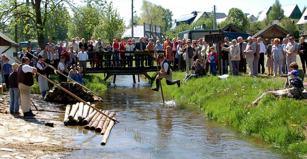
© Flößerverein Muldenberg


- Brief description
-
Bahnhof Schöneck IFA Ferienpark (gelb) – Tannenhaus – Kirchsteig – Flößweg (grün) – Kottenheide (blau)/ Richtung Brunndöbra – Höhenmarke 808m – Vogtland Arena – Brunndöbra (grün) – Klingenthal / Alberthöhe (rot) – Rundkirche – Bahnhof Klingenthal
- Route
-
MuldenbergZur Talsperre0.4 kmTannenhaus7.0 kmKottenheide10.5 kmSankt Anlauf15.3 kmBrunndöbra16.3 kmKlingenthal18.8 km
- Best season
-
JanFebMarAprMayJunJulAugSepOctNovDec
- Highest point
- 799 m
- Endpoint
-
Bahnhof Klingenthal
- Height profile
-
 © outdooractive.com

-

-
AuthorThe tour TagesTour Kammweg 31 Von Muldenberg über Schöneck nach Klingenthal 20km is used by outdooractive.com provided.
GPS Downloads


General info
Refreshment stop
Other tours in the regions
-
Vogtland / Sachsen
696
-
Erzgebirge
408
-
Schöneck
170


