
- Brief description
-
Der Wanderweg ist eine Rundstrecke mit teilweise gleicher Anlauf- und Rücklaufstreck zum Bahnhof.
- Difficulty
-
easy
- Rating
-
- Route
-
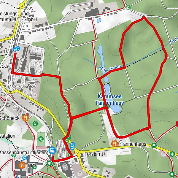
Schöneck(Vogtl) Ferienpark3.7 km
- Best season
-
JanFebMarAprMayJunJulAugSepOctNovDec
- Highest point
- 776 m
- Endpoint
-
Bahnhof IFA Ferienpark Schöneck
- Height profile
-
 © outdooractive.com
- Author
-
The tour Barrierefreie Wanderung um die Muldequelle is used by outdooractive.com provided.
GPS Downloads


General info
Refreshment stop
Other tours in the regions
-
Vogtland / Sachsen
696
-
Schöneck
170