Discover geological history in the Tharandt Forest (Tharandter Wald)


- Brief description
-
In the Geopark Sachsens Mitte you can walk through Saxony's geological past. Every stone hides secrets and tells its million-year-old story.
- Difficulty
-
medium
- Rating
-
- Starting point
-
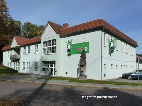
Räucherkerzen-Manufaktur KNOX (Incense Manufacture)
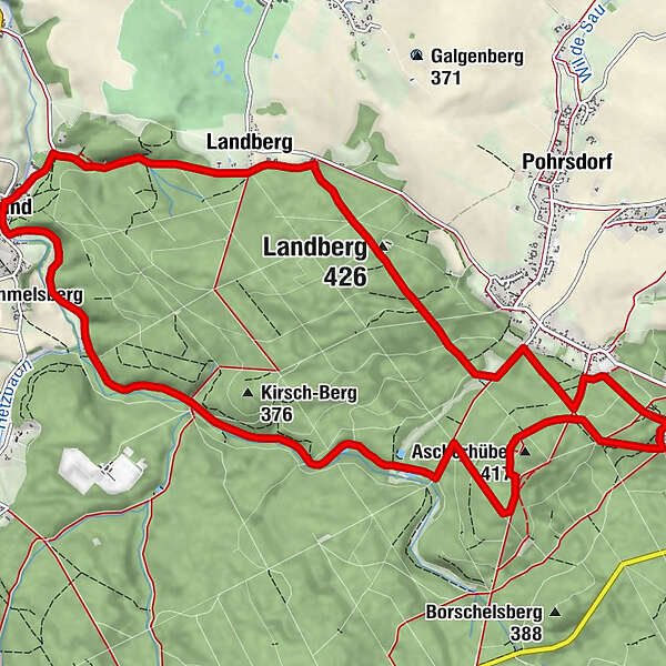
- Route
-
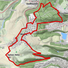
GrundLandberg1.8 kmGasthaus zum Landberg2.3 kmLandberg (426 m)3.0 kmSpechtshausen5.5 kmKurort Hartha6.2 kmAscherhübel (417 m)7.6 kmJungfernloch10.1 kmWüstarabien12.3 kmGrund13.7 km
- Best season
-
JanFebMarAprMayJunJulAugSepOctNovDec
- Description
-
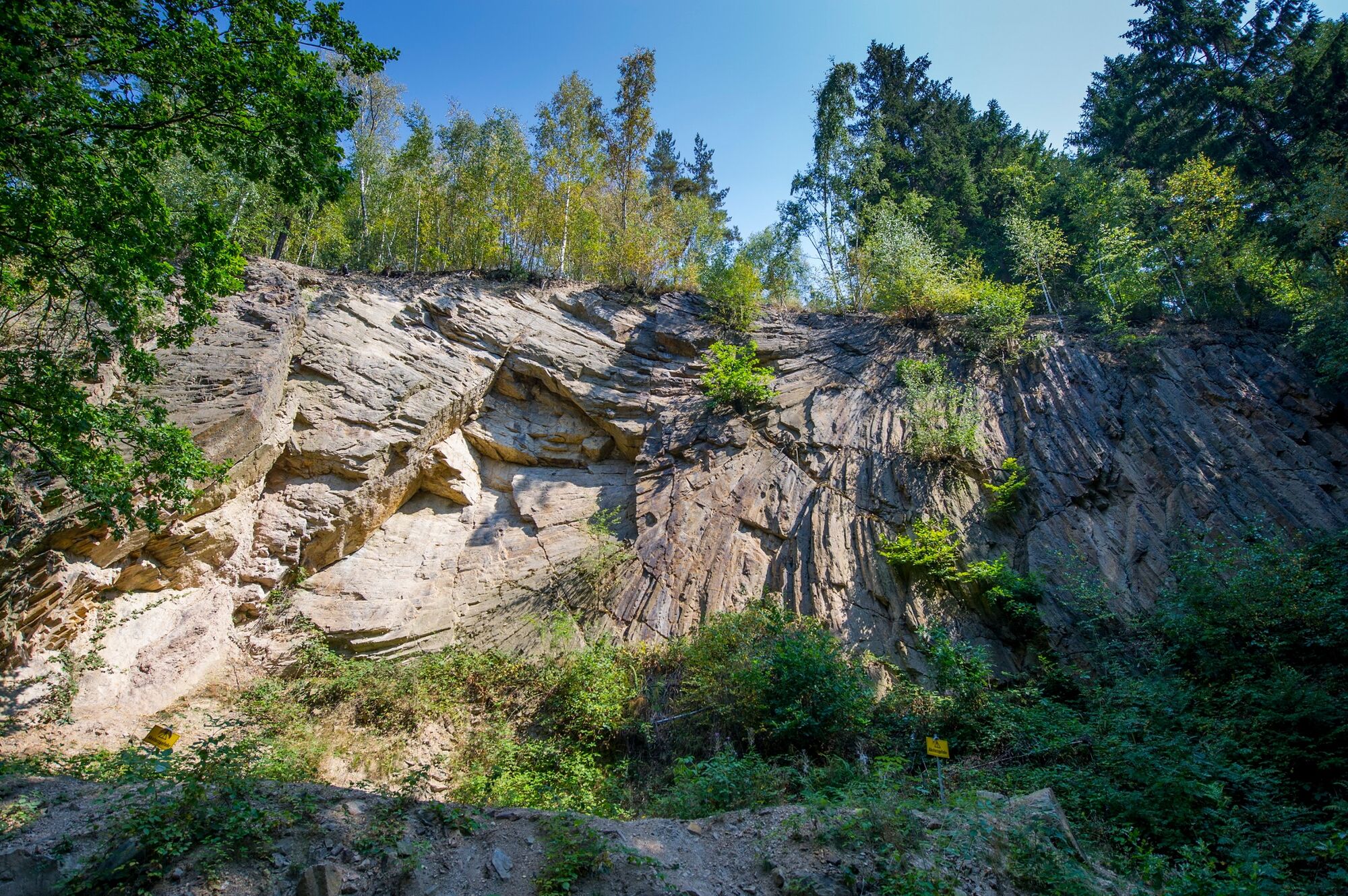
In the Geopark Sachsens Mitte, we are going on a geological journey through time. Come along and experience the Tharandt Forest in a completely different way and let yourself be carried away into a "stone-age" world. On our way from Mohorn-Grund over the Landberg to Kurort Hartha and back over the Wiesenweg and through "Desert Arabia" we will learn how many interesting things there are to see and discover in such a small space. We follow the geological traces left behind by mighty volcanic eruptions, old craters and vents, as well as relics of mighty sea floods and historical mining. The topic of health is not neglected either.
For a change of pace, try Kneipp's water treading or the barefoot path. Even the little ones are in demand. At the forest playground, the forest is magically and mysteriously transformed into a fairytale world. Those who also have a taste for pilgrimage can walk along the Saxon Way of St. James (Sächsischer Pilgerweg), which was used as early as the 12th century to unwind and become one with nature. On the Landberg, there is the possibility of stopping off at the idyllically situated inn "Zum Landberg". Here, guests can fortify themselves with dishes of home-style Saxon cuisine or game dishes. If you prefer something more rustic, stop off at the snack bar on the edge of the forest in Spechtshausen or relax in the forest pool in Mohorn/Grund.
Extra tip: KNOX smoked candle factory.
Target group: Families, for those interested in natural history and health-conscious guests.
Important: Guided hike only possible by reservation.
- Directions
-
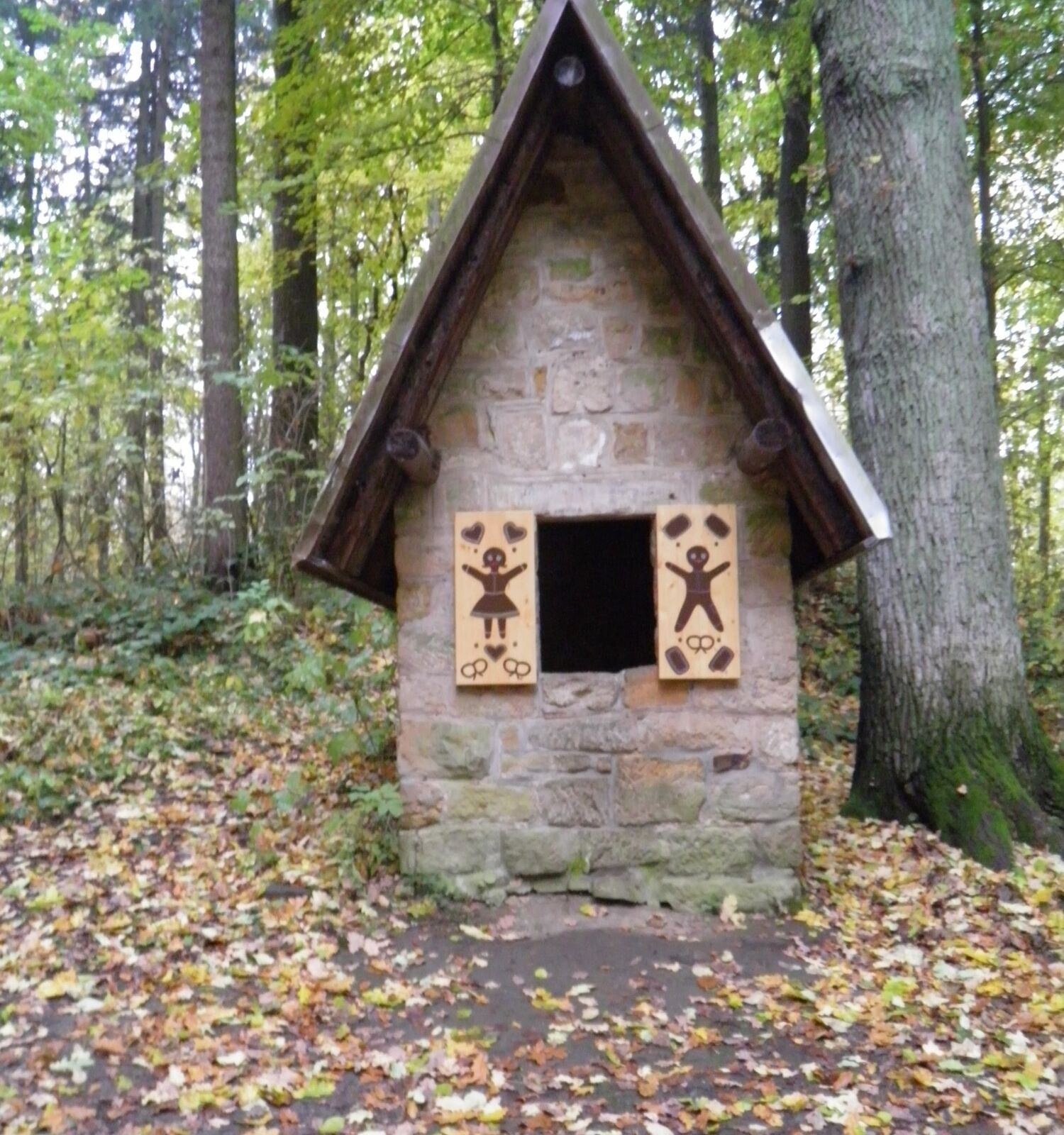
From the car park in Mohorn-Grund, first follow the road "Am Tharandter Wald" past KNOX to the end of Grund. Behind the sports field, turn right into Schmieders Graben, where you will find the entrance sign to the nature trail. Follow Schmieders Graben until you reach the Gasthaus zum Landberg, where you turn right onto Schneise 8, which you follow for about 2 km until you reach Langer Weg and finally the F-wing, which you follow until you reach the village of Spechtshausen. Here you turn right onto path 7 and follow it for about 500 m until you reach the Mühlweg crossroads. After a short time, turn left onto path 6 and follow it to Kurort Hartha. Pass the Glockenstuhl and enter the Tharandt forest again in the direction of the forest playground. Via trail no. 7 you finally reach the basalt path, which you turn left into. Pass the geotope "Basaltbruch Ascherhübel mit Hexenhäusel" (basalt quarry Ascherhübel with witch's cottage) and walk along the Schwarze Straße to Schneise 9. At the crossroads to the F-wing, turn left and follow the path for approx. 200 m to the Wiesenweg. Continue straight ahead along Grunder Weg and then the road "Am Tharandter Wald" back to the starting point in Mohorn-Grund.
- Highest point
- 426 m
- Endpoint
-
Räucherkerzen-Manufaktur KNOX (Incense Manufacture)
- Height profile
-
 © outdooractive.com
 - Safety instructions
-
Sturdy shoes and weatherproof clothing are recommended.
- Additional information
-
Geopark Sachsens Mitte
Tel. + 49 (0) 350 55 69 68-20
www.geopark-sachsen.de
Gästeführer Rolf Mögel (Tour guide)
Tel. + 49 (0) 33 52 03 25 30


- Author
-
The tour Discover geological history in the Tharandt Forest (Tharandter Wald) is used by outdooractive.com provided.


General info
-
Dresden Elbland
626
-
Dresden
579
-
Wilsdruff
143