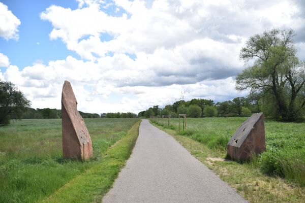
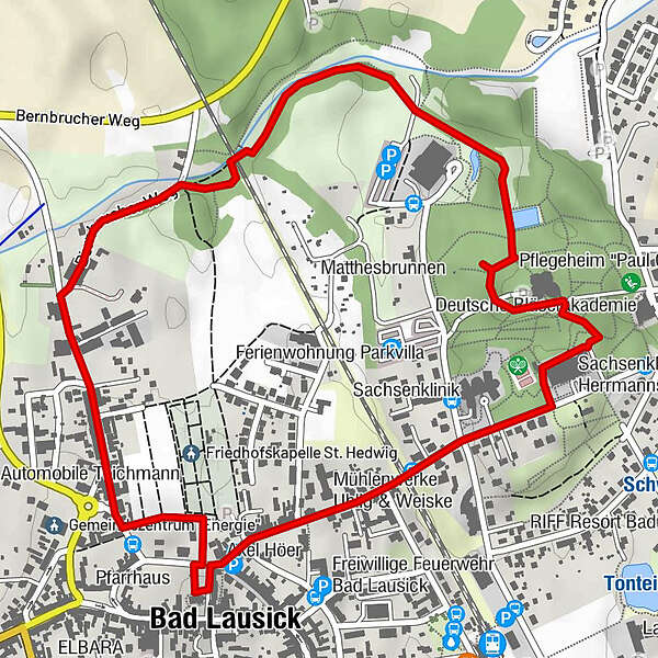
© LEIPZIG REGION - Geopark Porphyrland/R. Heinze

© LEIPZIG REGION - Geopark Porphyrland/R. Heinze

© LEIPZIG REGION - Geopark Porphyrland/R. Heinze

© LEIPZIG REGION - Kati Lange/LTM

© LEIPZIG REGION - Geopark Porphyrland/R. Heinze

© LEIPZIG REGION - Geopark Porphyrland/R. Heinze

© LEIPZIG REGION - Kati Lange/LTM

- Brief description
-
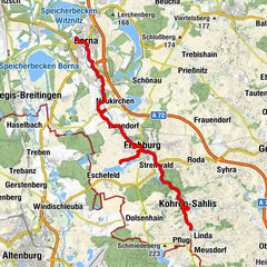
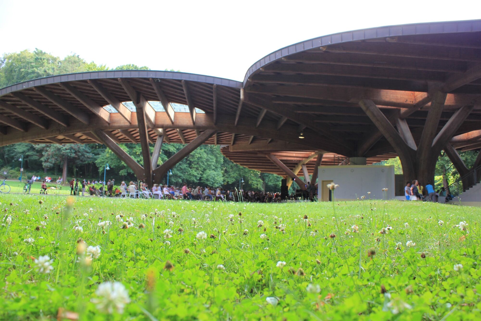
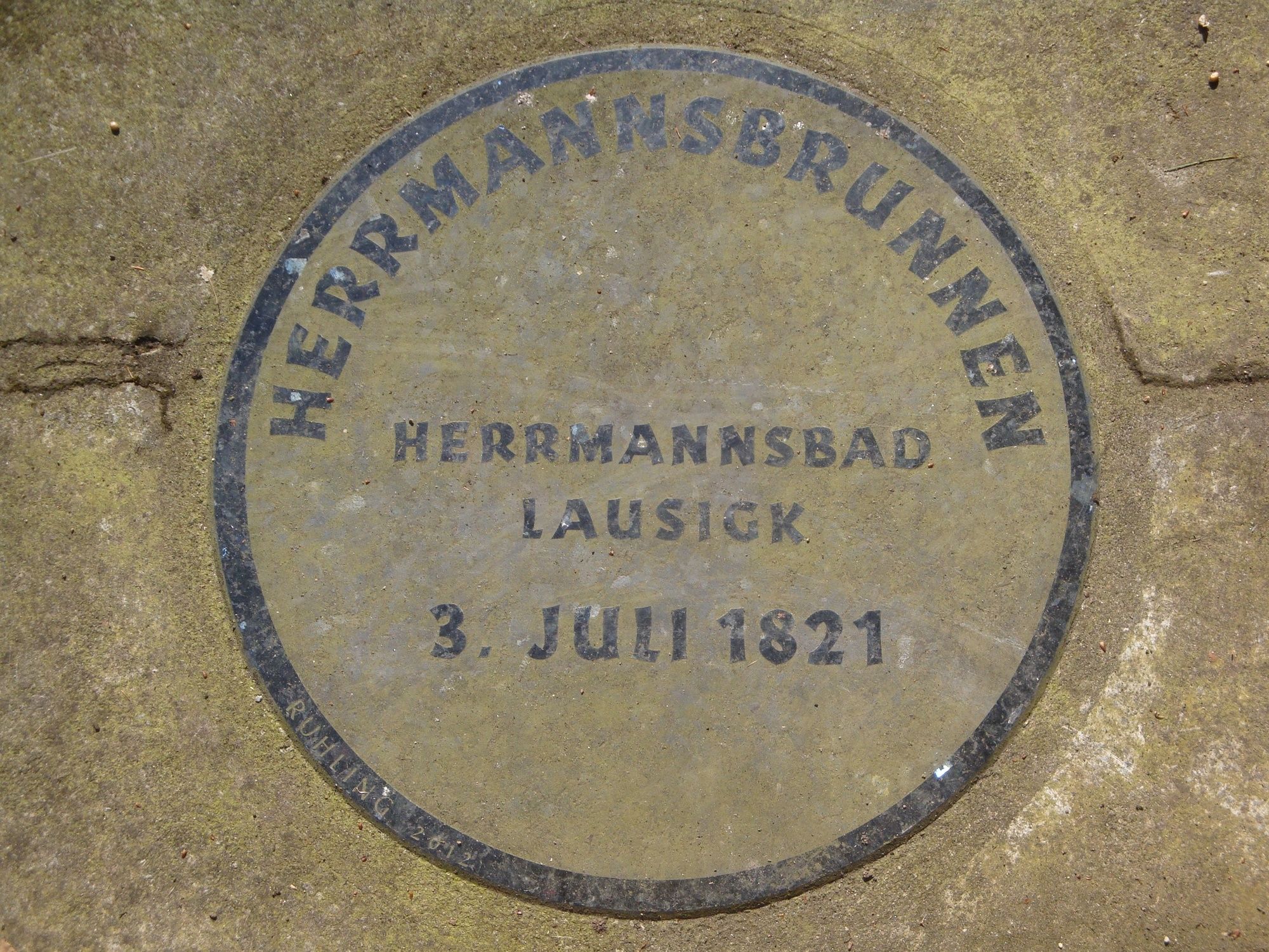
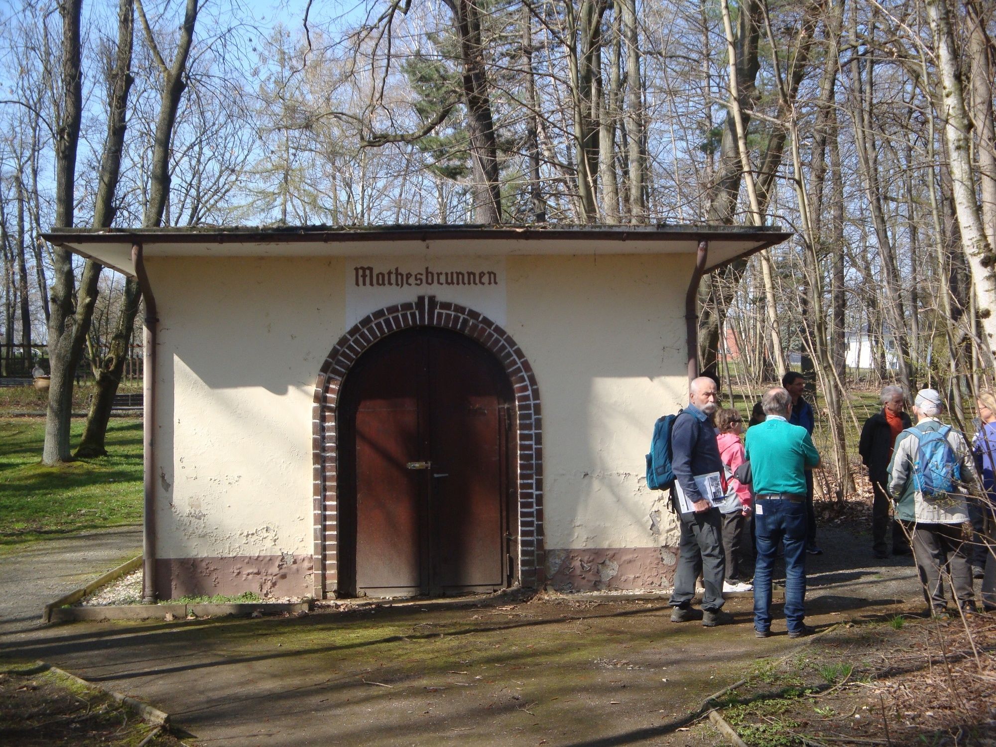
Die Kurstadt Bad Lausick mit der einzigen Thermalheilwasser-Quelle im Geopark Porphyrland
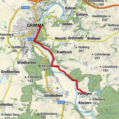
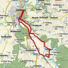
- Route
-
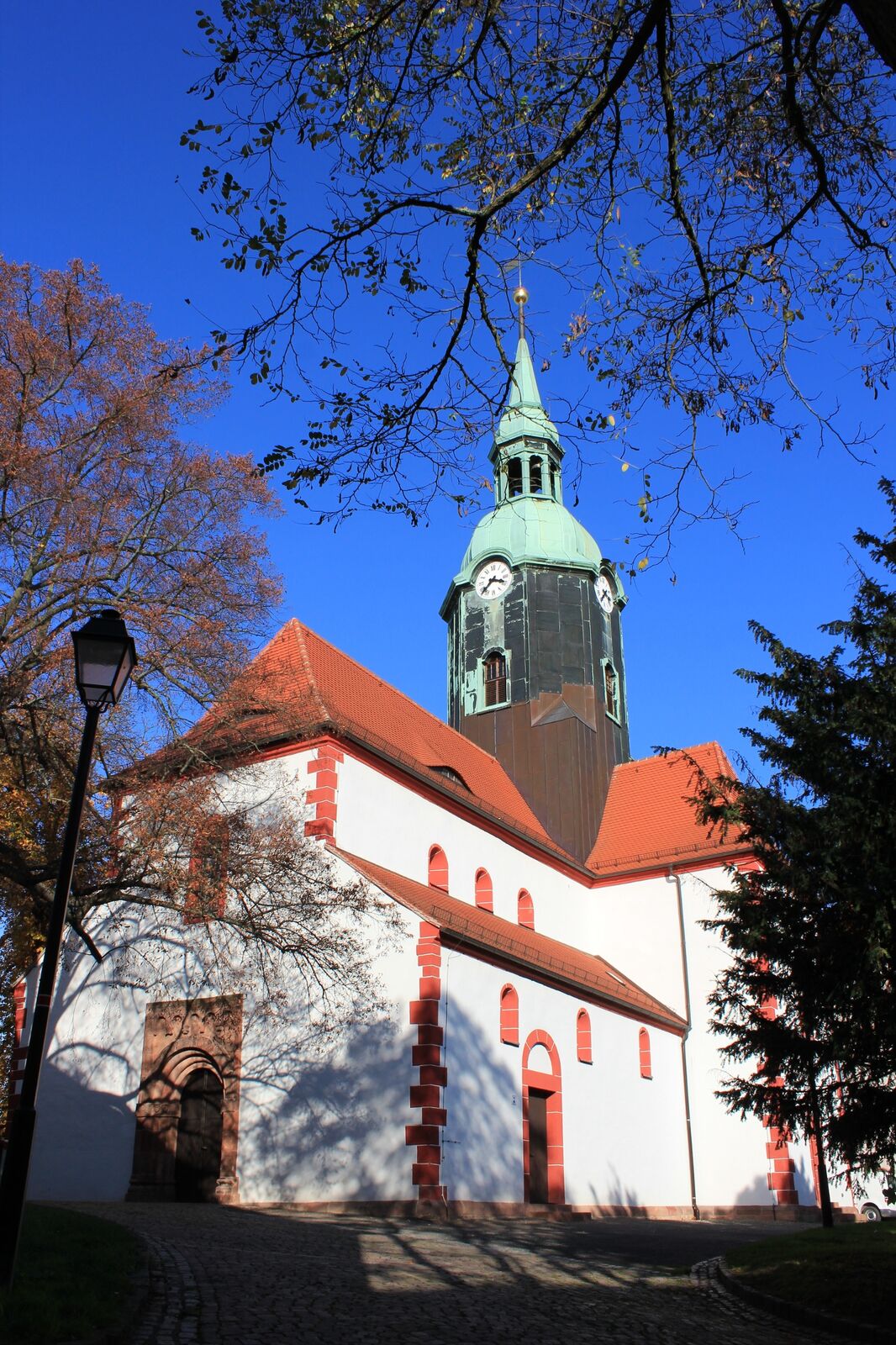
St.-Kilians-Kirche2.4 kmBad Lausick2.5 km
- Highest point
- 178 m
- Endpoint
-
Adresse: Bahnhofstr. 2 · 04651 Bad Lausick
- Height profile
-
 © outdooractive.com
-

-
AuthorThe tour Georoute Bad Lausick is used by outdooractive.com provided.
GPS Downloads


General info
Cultural/Historical
Other tours in the regions
-
Region Leipzig
186
-
Sächsisches Burgenland
133
-
Bad Lausick
46