© Erlebnisheimat Erzgebirge - Ronny Schwarz

- Route
-
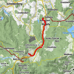
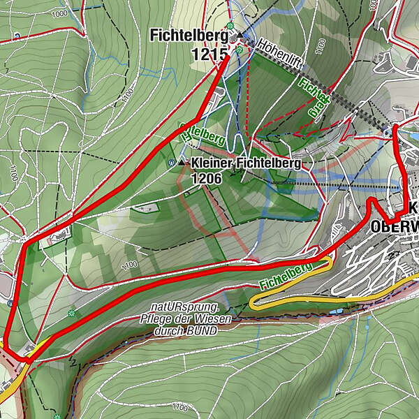
Loipenklause1.0 kmKurort Oberwiesenthal5.0 km
- Highest point
- 1,188 m
- Height profile
-
 © outdooractive.com
- Author
-
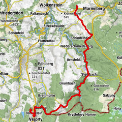
The tour SMQR C-Edition Abschnitt 13 Fichtelberg -Oberwiesenthal is used by outdooractive.com provided.
GPS Downloads


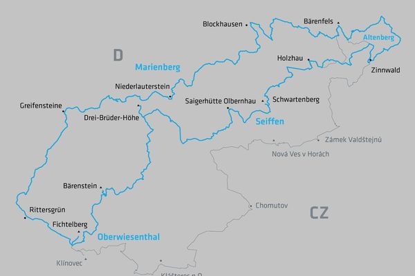
Other tours in the regions
-
Erzgebirge
35
-
Erzgebirge
14
-
Oberwiesenthal
8