- Brief description
-
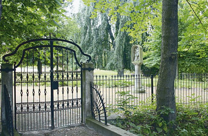
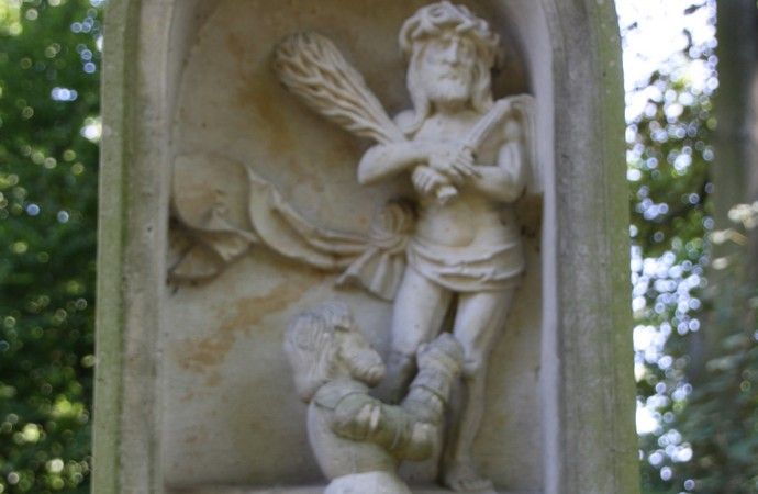
Kirchen, Schlösser, Parks und mehr
- Difficulty
-
easy
- Rating
-
- Route
-
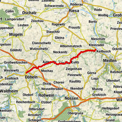
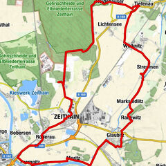
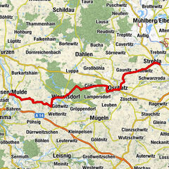
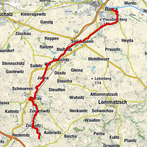
PromnitzRiesa (109 m)0.2 kmOelsitz5.9 kmKalbitz7.0 kmSeerhausen8.1 kmRagewitz9.1 kmGrubnitz9.9 kmZum Jahnatal10.1 kmBloßwitz10.5 kmPanitz11.0 kmStauchitz12.1 kmHof13.9 kmBinnewitz15.5 kmJahna16.2 kmKirche zu Jahna16.4 kmPulsitz17.8 kmClanzschwitz18.2 kmOstrau19.9 kmWutzschwitz21.3 kmBauernstube21.8 kmZunschwitz24.1 kmTrebanitz25.1 kmGoselitz25.9 kmZschaitz26.8 kmMöbertitz26.9 kmBaderitz27.8 kmGaststätte zum Stausee28.1 km
- Best season
-
JanFebMarAprMayJunJulAugSepOctNovDec
- Highest point
- 177 m
- Endpoint
-
Riesa
- Height profile
-
 © outdooractive.com

- Author
-
The tour Jahnatal - Radroute is used by outdooractive.com provided.
GPS Downloads


General info
Cultural/Historical
Other tours in the regions
-
Dresden Elbland
123
-
Sächsisches Burgenland
35
-
Nünchritz
17