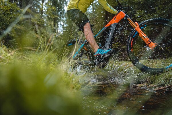
© Archiv TVV/M.Daßler

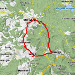
© Archiv Tourismusverband Vogtland, Jürgen Strobel

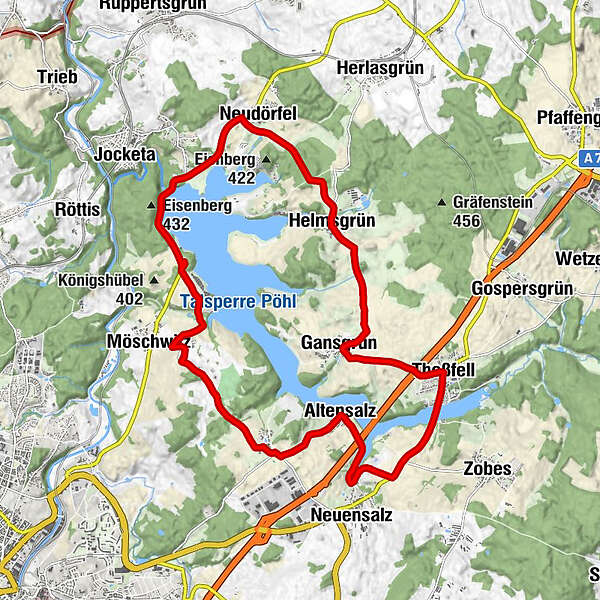
© Archiv Zweckverband Talsperre Pöhl, U. Loescher

© Archiv Zweckverband Talsperre Pöhl, U.Loescher

© Archiv Zweckverband Talsperre Pöhl, BUR Werbeagentur

- Brief description
-
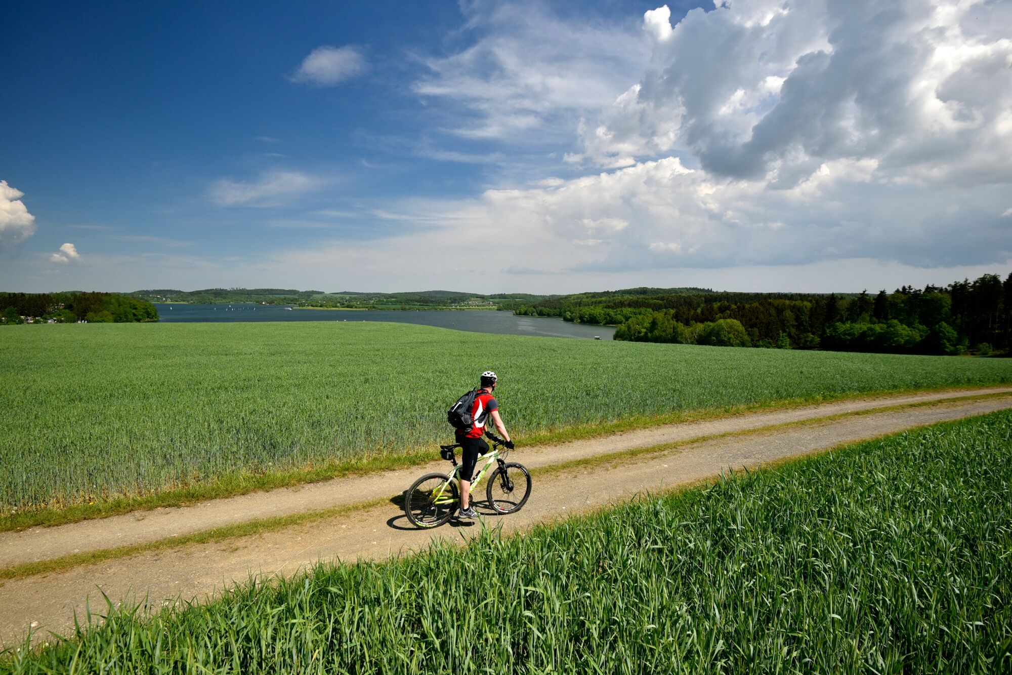
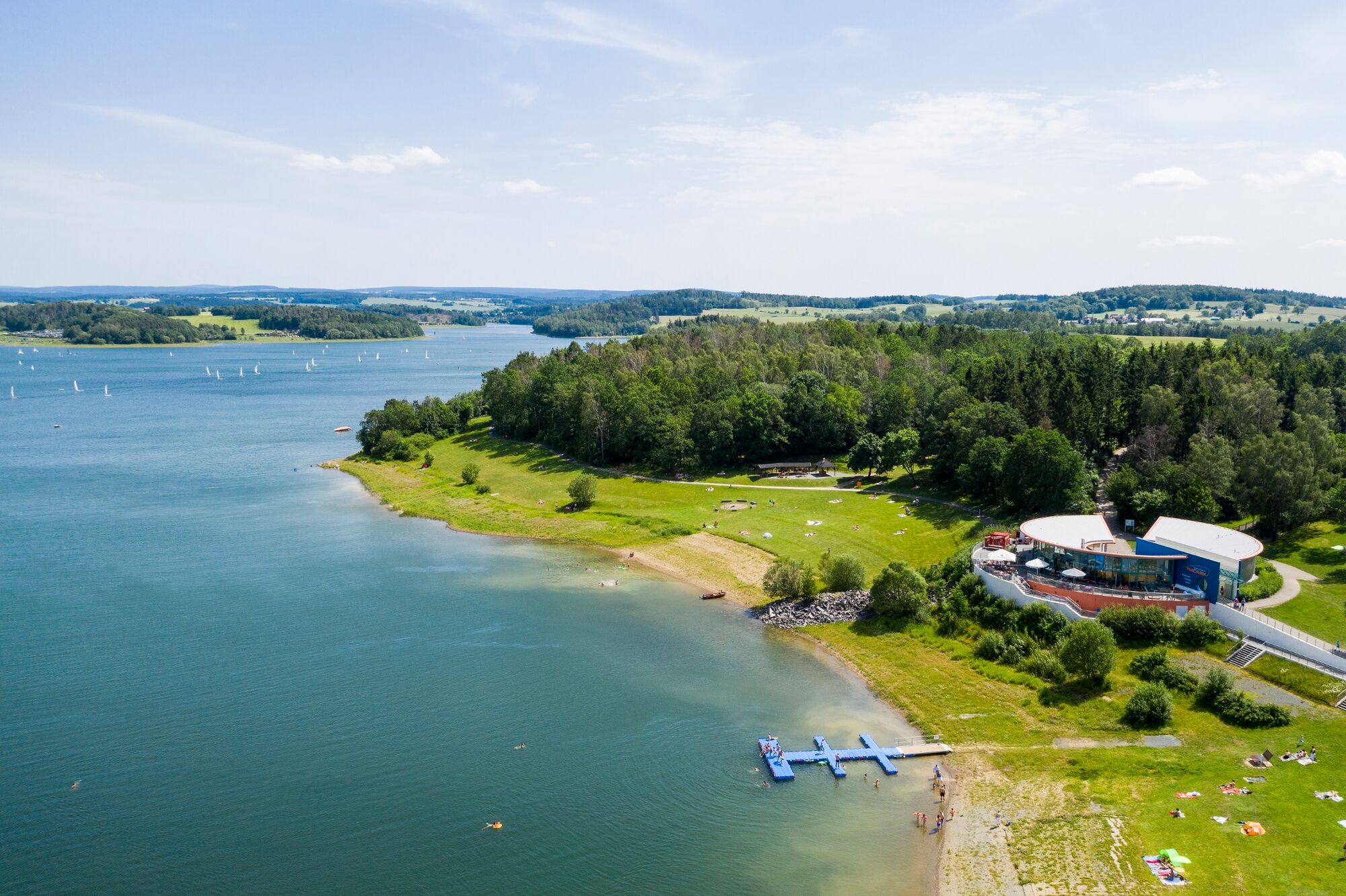
Diese Route führt auf vorwiegend wenig befahrenen Straßen vom Campingplatz Gunzenberg nach Voigtsgrün und Altensalz weiter nach Neuensalz, Thoßfell und Gansgrün sowie Helmsgrün und Neudörfel zurück zum Ausgangspunkt der Tour.
- Difficulty
-
medium
- Rating
-
- Route
-
Strandhaus0.3 kmMöschwitz1.7 kmPlauen2.2 kmVoigtsgruen4.2 kmAltensalz5.8 kmGasthof Altensalz5.8 kmKnüpfers Restauration Thoßfell9.7 kmThoßfell9.7 kmGansgrün11.6 kmHelmsgrün14.1 kmNeudörfel16.4 kmAlt-Jocketa17.7 km
- Best season
-
JanFebMarAprMayJunJulAugSepOctNovDec
- Highest point
- 447 m
- Endpoint
-
Parkplatz Gunzenberg
- Height profile
-
 © outdooractive.com
- Author
-
The tour Radweg um die Talsperre Pöhl is used by outdooractive.com provided.
GPS Downloads


General info
Refreshment stop
A lot of view
Other tours in the regions
-
Vogtland / Sachsen
125
-
Pöhl
18