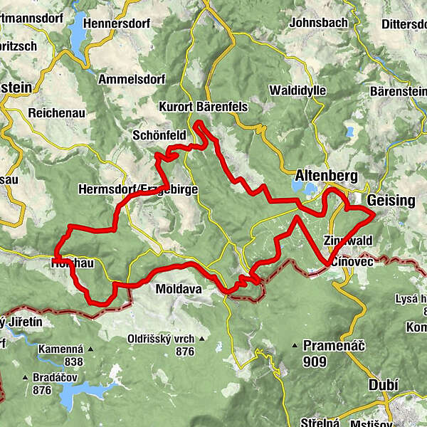
Blockline Loop 1: Holzhau » Altenberg » Hermsdorf » Holzhau


- Brief description
-
The 53 km long round tour takes you over 1,140 meters in altitude along flowering mountain meadows and fantastic views over the towns of Holzhau, Altenberg and Hermsdorf.
- Difficulty
-
medium
- Rating
-
- Starting point
-
Holzhau, ski lift station
- Route
-
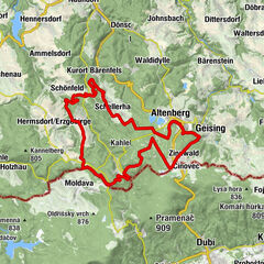
Willy's Scheune0.1 kmHolzhau0.7 kmBarbarins1.5 kmSteinkuppe (805 m)2.5 kmTeichhaus5.2 kmNeuhermsdorf8.4 kmSWF Sporthotel8.7 kmNeu-Rehefeld11.2 kmHemmschuh (846 m)11.7 kmRehefeld-Zaunhaus12.8 kmGeorgenfeld20.9 kmBeerenhütte21.0 kmZinnwald-Georgenfeld22.1 kmZinnwald22.5 kmAltenberg27.4 kmSchellerhau34.7 kmStephanshöhe (803 m)35.7 kmSpitzberg36.6 kmHermsdorf/Erzgebirge46.2 kmWilly's Scheune52.8 km
- Best season
-
JanFebMarAprMayJunJulAugSepOctNovDec
- Description
-
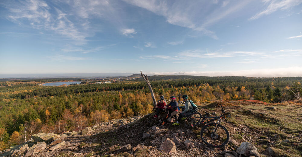
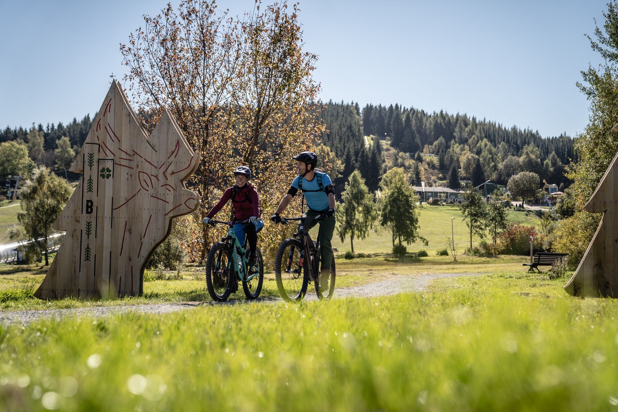
This stage is like bathing in nature: simply switch off and immerse yourself in the lush green of the forests. The variety of flora and fauna, the wonderful scent of wildflowers - up here, young and old alike find enthusiasm. Those interested in history can explore the evidence of Altenberg mining along the route.
- Directions
-
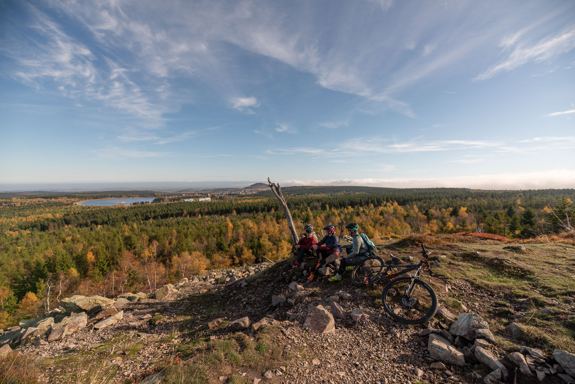
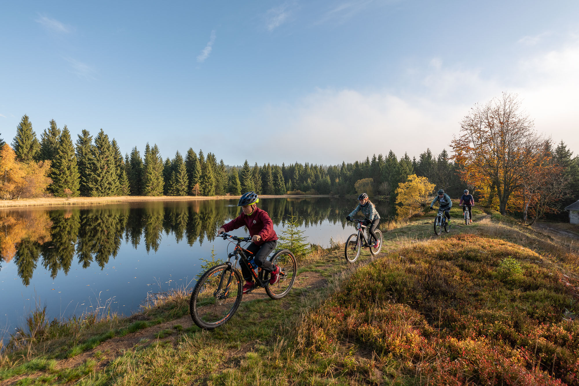
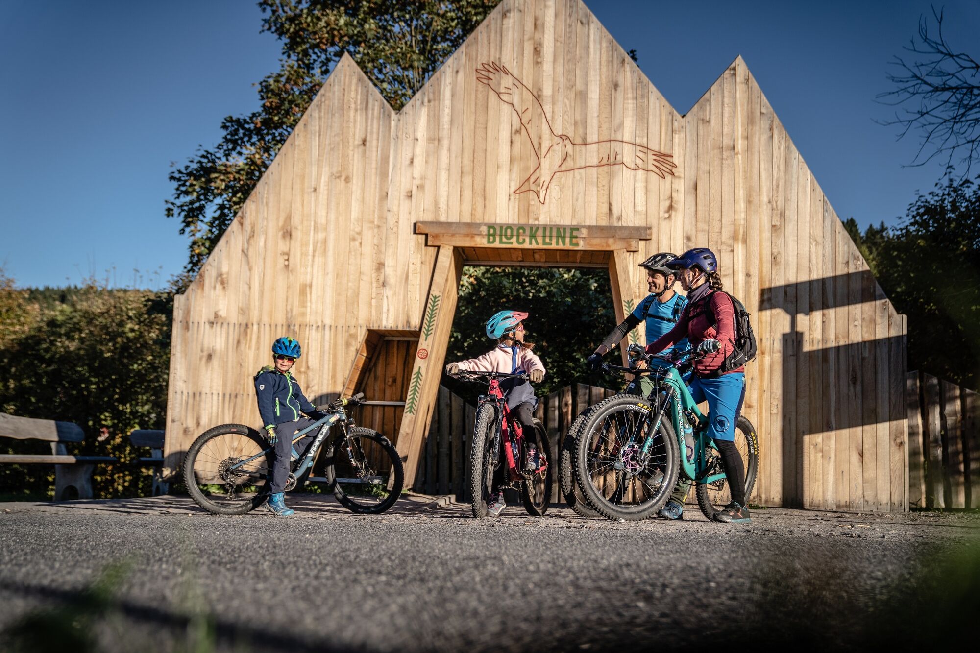
Starting in Holzhau, the route leads over the Steinkuppe into the Hemmschuh nature reserve with spicy-scented Bärwurz, the blue devil's claw and bright orange tiger lilies. We continue to two brothers of a special kind: The Large Lugstein and the Small Lugstein are part of the Erzgebirge ridge and have a height difference of only three centimeters. The loop route takes us to a mystical place: the Georgenfelder Hochmoor is a special natural treasure. Few raised bog areas are so well preserved. A unique landscape with rare vegetation: bog pine, cranberry, sundew and many others characterize the landscape here. The route leads up to the Kahleberg, with a fantastic panoramic view - on to the Altenberg winter sports center. Leave the gallows ponds behind and follow the BLOCKLINE into the Weißbachtalm, one of the most attractive valleys in the region. After you have crossed the wooden portal in Hermsdorf, the path leads you back to Holzhau via the loop connection.
- Highest point
- 896 m
- Endpoint
-
Holzhau, ski lift station
- Height profile
-
 © outdooractive.com
 - Tips
-
Nature reserve Hemmschuh
View from the Kahleberg
Georgenfeld high moor & cafe on the high moor
Schellerhau botanical garden - Additional information
-
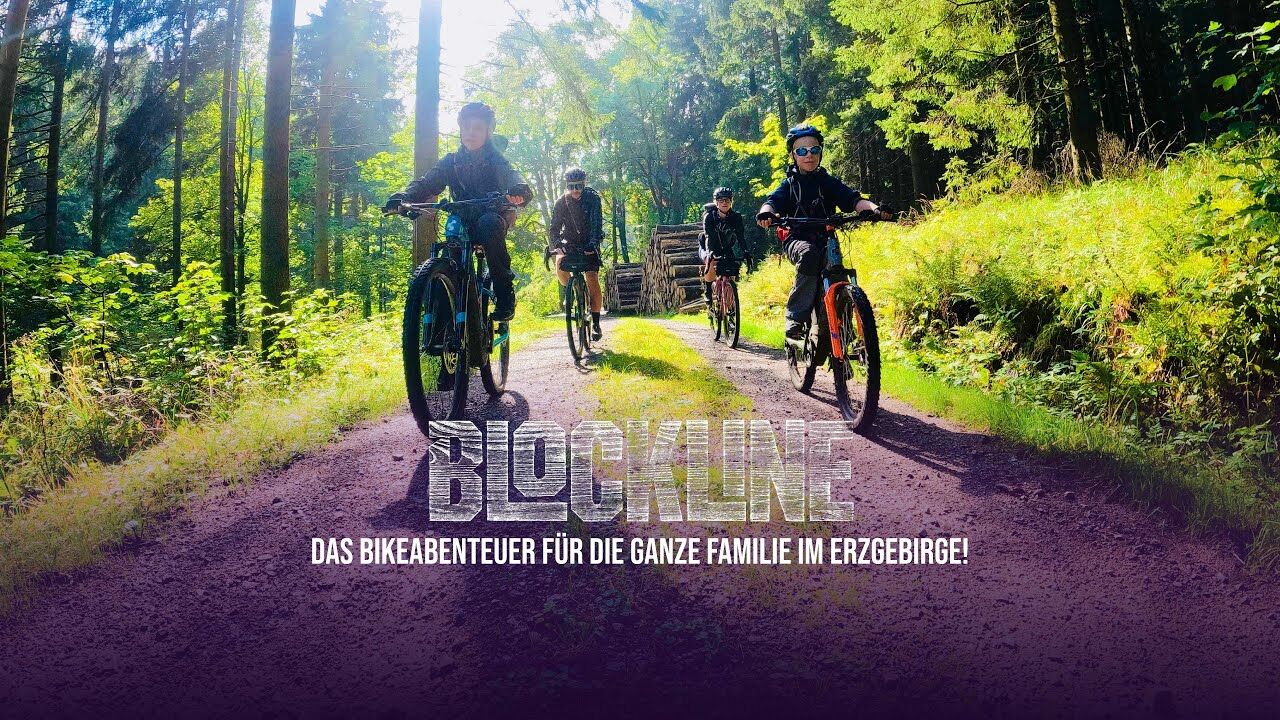
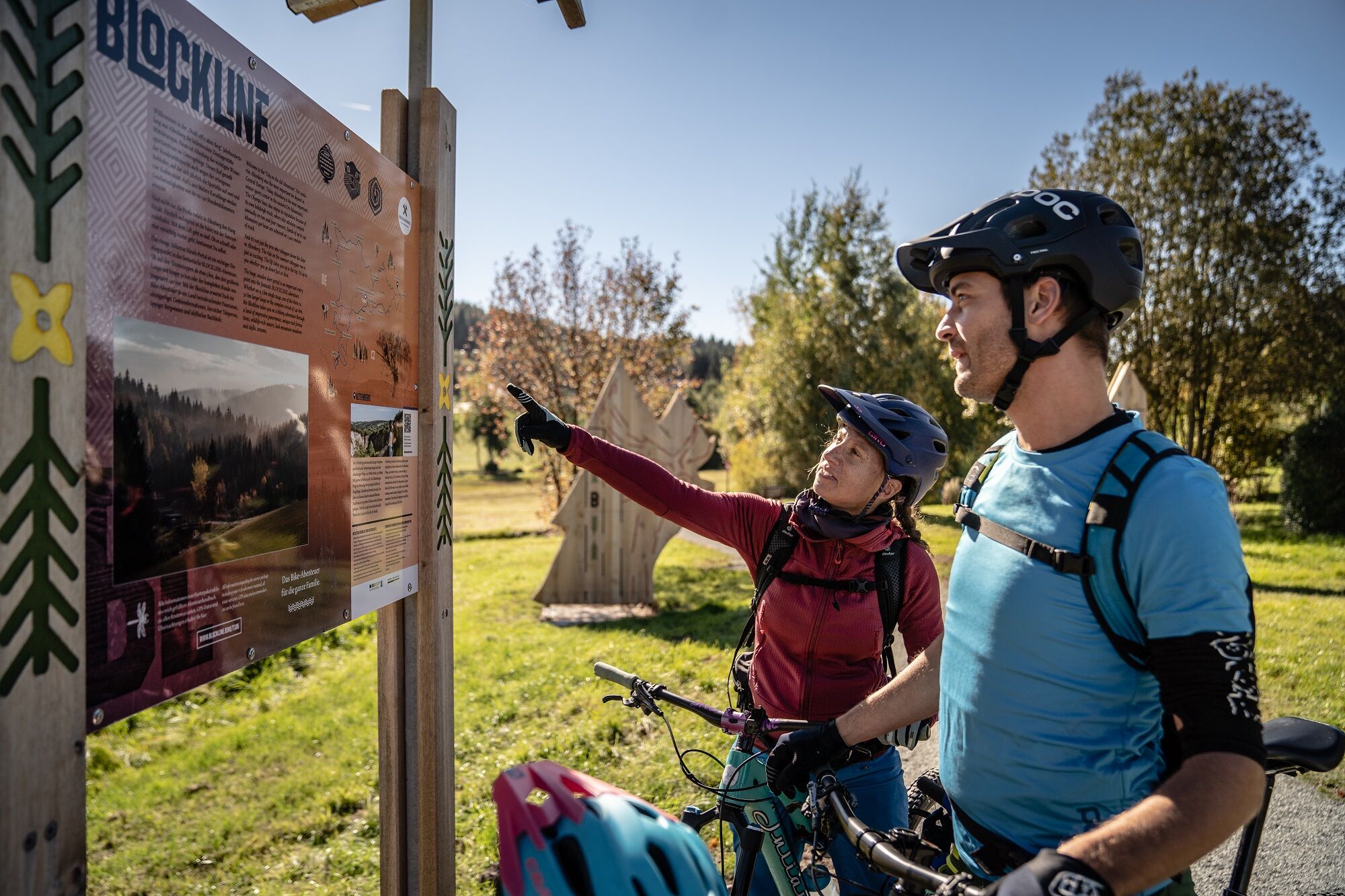
Discover the BLOCKLINE with the adventure package, it contains i.a. the BLOCKLINE tubular cloth and the richly filled adventure manual with lots of tips and riddles. There is also a route package to discover the BLOCKLINE. This contains an exclusive route map with stages, loops and interesting facts along the tour. All information about the BLOCKLINE at www.blockline.bike
- Directions
-
From the A 4 exit Siebenlehn, continue to Freiberg, Frauenstein. on the B 171 in the direction of Rechenberg-Bienenmühle to Holzhau. From the A 13 to Dresden, on the B 170
- Public transportation
-
The Freiberg railway runs between Freiberg and Holzhau. Other train stations are in Mulda and Nassau. The train also runs hourly on Saturdays, Sundays and public holidays during the day, starting at 7:40 a.m. in Freiberg, and the last train is back in Freiberg at 9:15 p.m. From 3:40 p.m. the trains run every 2 hours. Please refer to the timetables for the exact departure times. Bicycles are free of charge on the trains of the Freiberger Eisenbahn. Advance booking is required as capacities are limited. In Freiberg you can connect to the Mitteldeutsche Regiobahn trains in the direction of Chemnitz and Dresden, as well as to the city bus in front of the train station.
- Parking
-
Parking at the Holzhau ski lift
Parking at "Fischerbaude"
- Author
-
The tour Blockline Loop 1: Holzhau » Altenberg » Hermsdorf » Holzhau is used by outdooractive.com provided.


General info
-
Sächsische Schweiz
54
-
Erzgebirge
30
-
Altenberg
25