© Archiv TVV, M. Daßler

© Archiv TVV, S. Theilig

© Archiv TVV, M. Daßler

© Archiv TVV, S. Theilig

© Archiv TVV, S. Theilig

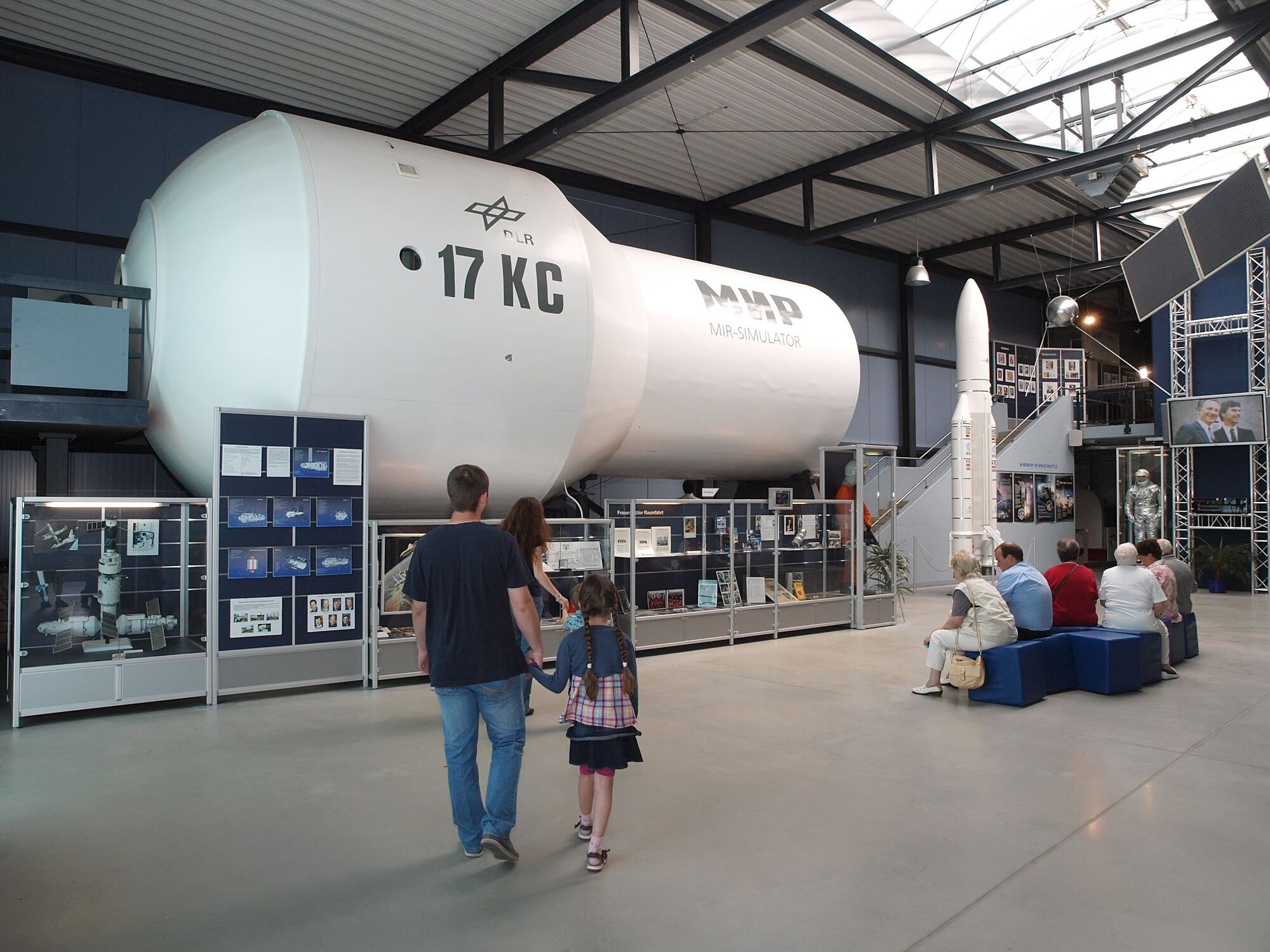
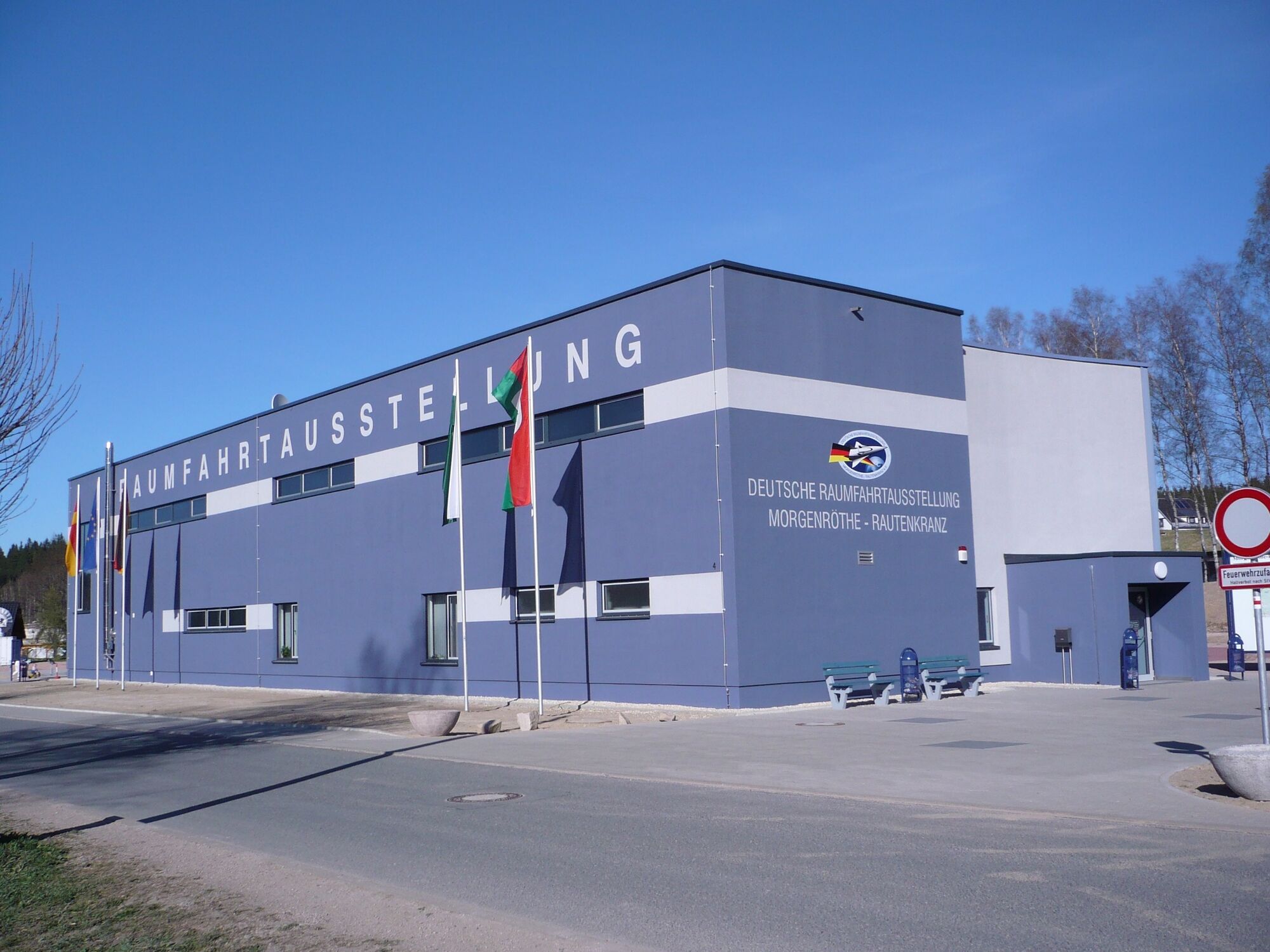
© Archiv Dt. Raumfahrtausstellung
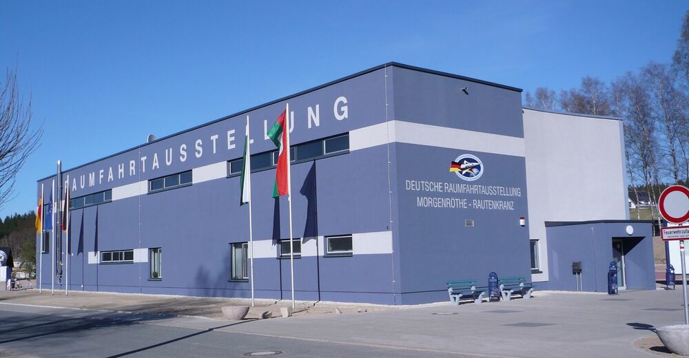
© Archiv Dt. Raumfahrtausstellung

- Brief description
-
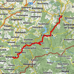
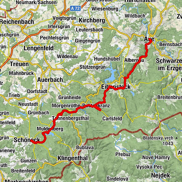
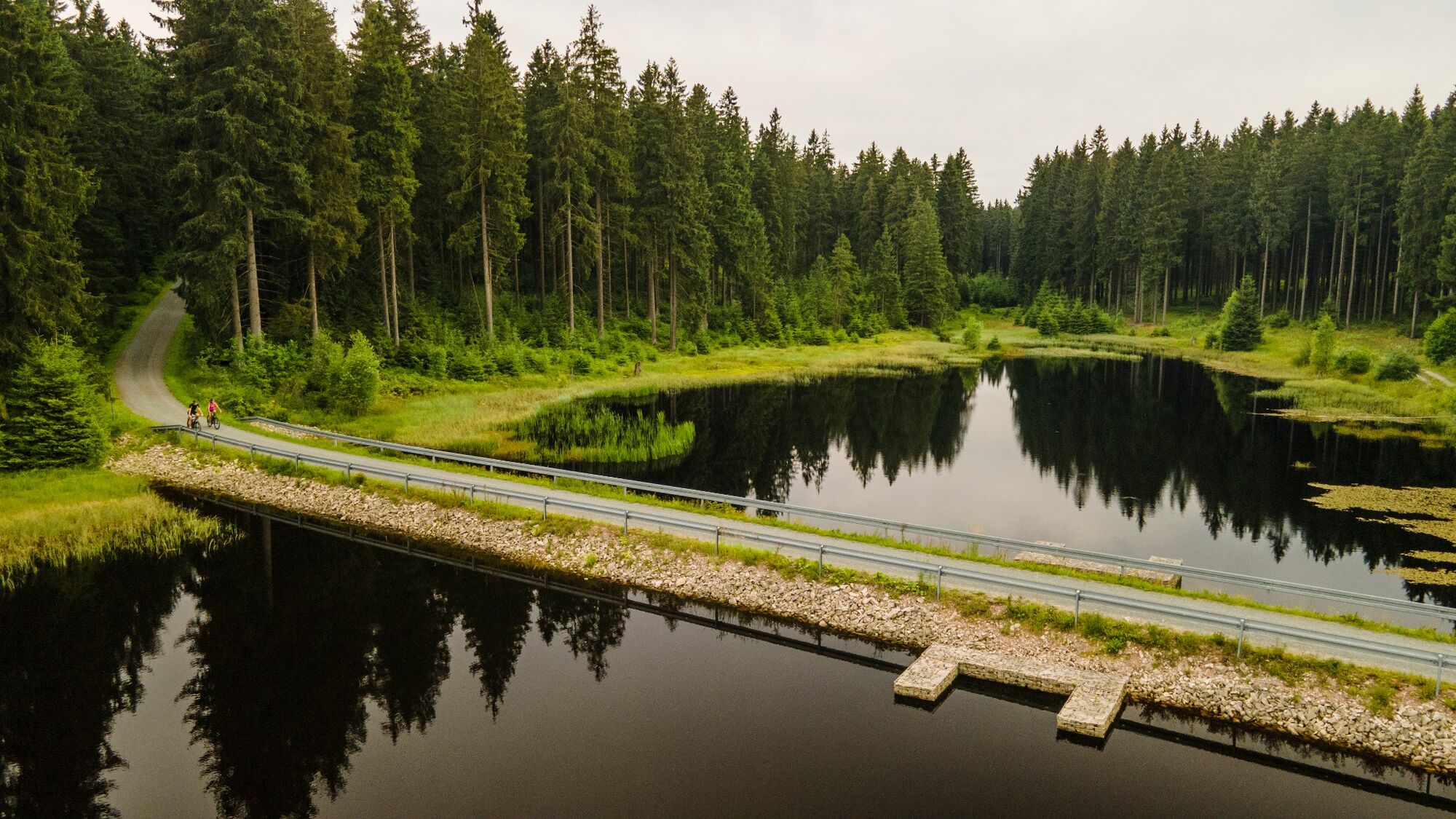
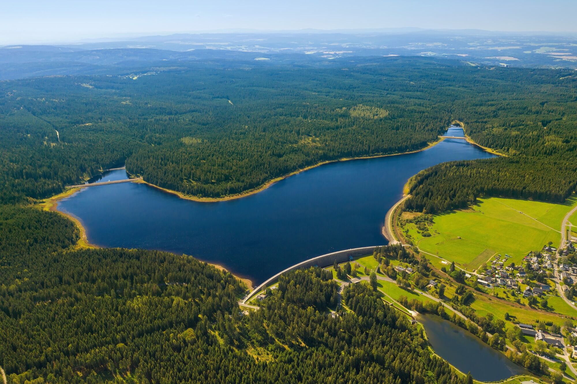
Streckenabschnitt Quelle Schöneck/Vogtland bis Aue
- Difficulty
-
medium
- Rating
-
- Route
-
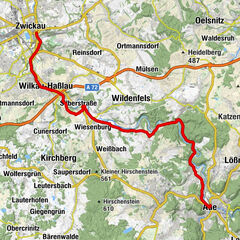
Bergschlößchen7.5 kmMuldenberg7.5 kmHammerbrücke10.3 kmPizzaria Pension Damiano16.1 kmJägersgrün16.2 kmTannenbergsthal (Vogtl)16.3 kmMuldenhammer17.3 kmMorgenröthe-Rautenkranz18.3 kmStadtkirche33.1 kmEibenstock33.3 kmBlauenthaler Wasserfall36.9 kmEvangelisch-Lutherische Kirche Blauenthal37.1 kmBlauenthal37.4 kmNikolaikirche48.6 kmAue49.3 km
- Best season
-
JanFebMarAprMayJunJulAugSepOctNovDec
- Highest point
- 781 m
- Endpoint
-
Aue - Bahnhof
- Height profile
-
 © outdooractive.com
- Author
-
The tour Mulderadweg - Zwickauer Mulde is used by outdooractive.com provided.
GPS Downloads


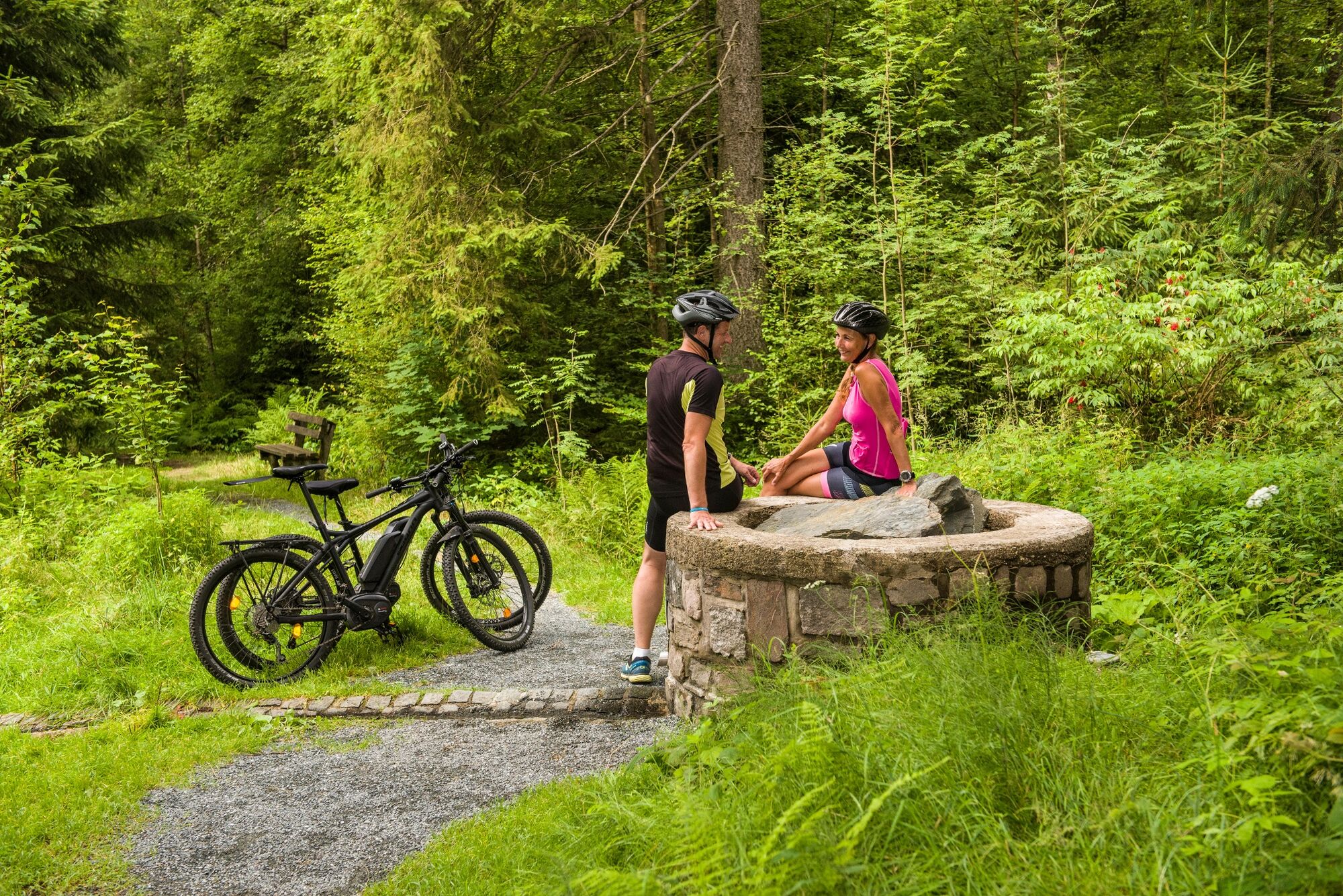
General info
Refreshment stop
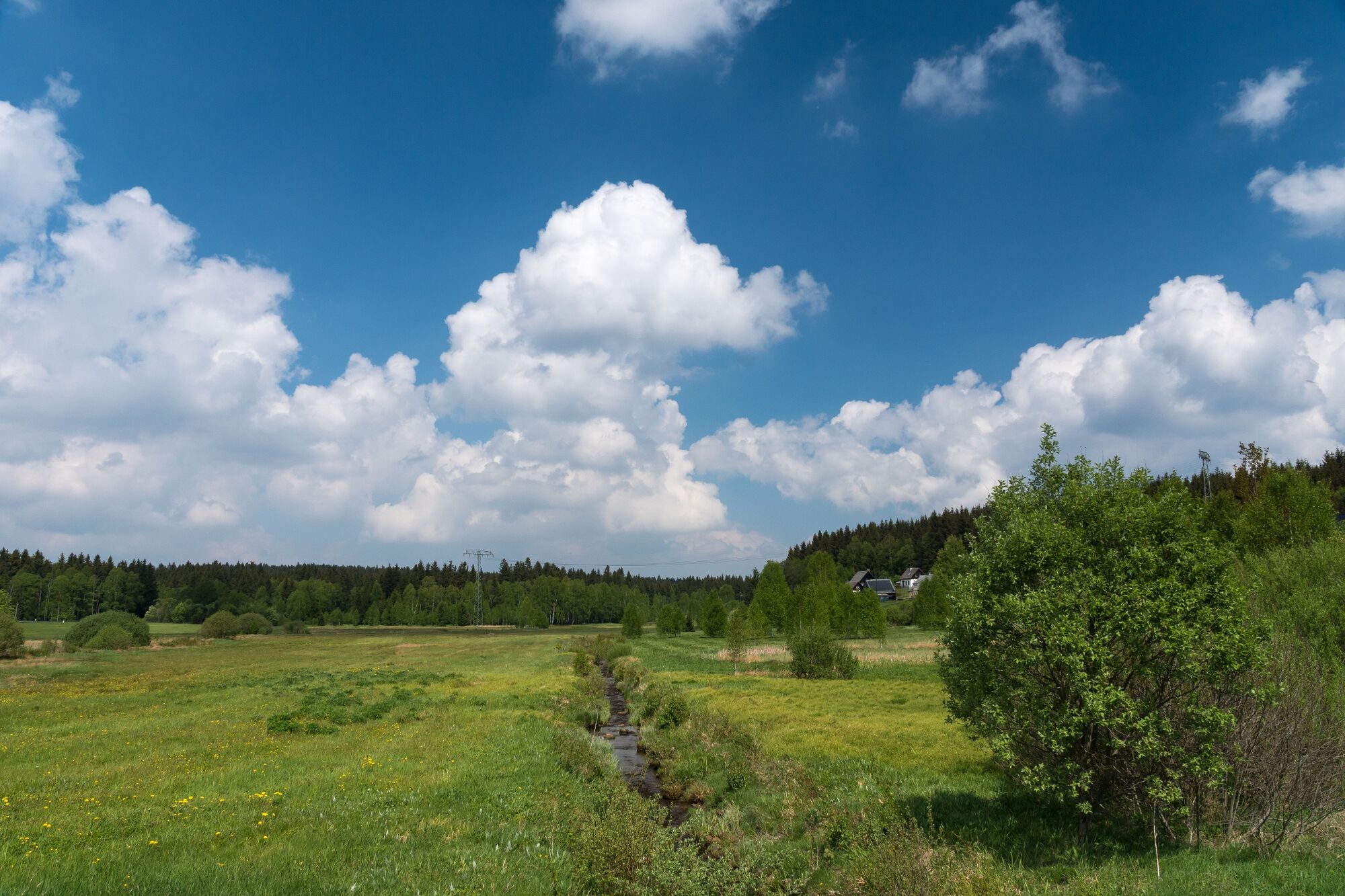
A lot of view
Other tours in the regions