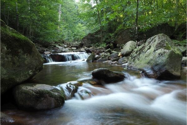

- Brief description
-
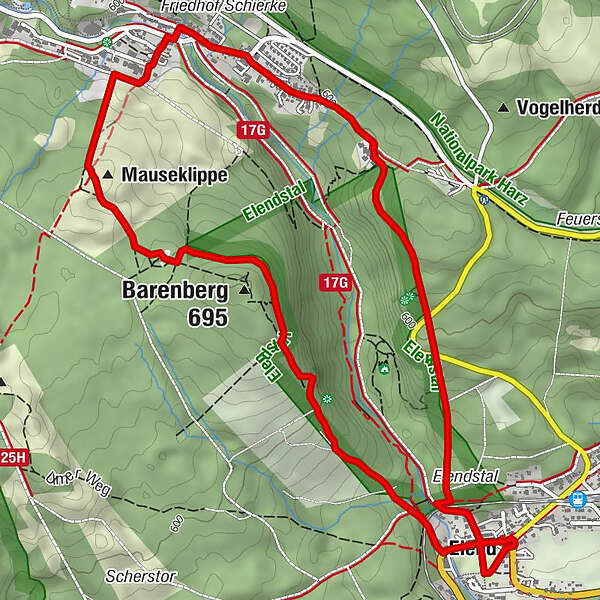
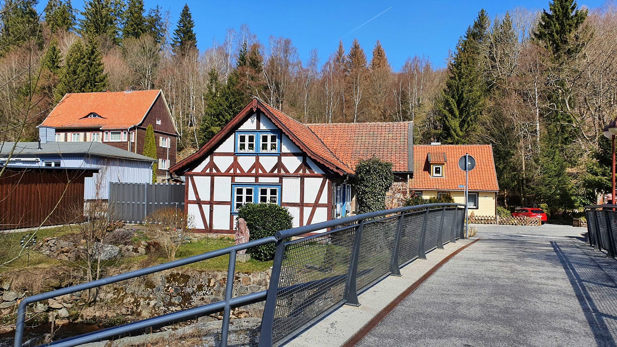
The adventurous and scenic hike to the "Snoring Cliffs" is one of the most popular routes from the Harz town of Elend.
- Difficulty
-
medium
- Rating
-
- Starting point
-
Elend, parking spot at the roundabout (main street)
- Route
-
Kirche Elend0.1 kmHotel Waldmühle Harz0.3 kmElend (490 m)0.3 kmAussichtskanzel Barenberg1.3 kmBarenberg (695 m)1.7 kmSchnarcherklippe2.3 kmSüdliche Schnarcherklippe2.3 kmNördliche Schnarcherklippe2.3 kmSchierke (617 m)3.2 kmElend (490 m)6.4 km
- Best season
-
JanFebMarAprMayJunJulAugSepOctNovDec
- Description
-
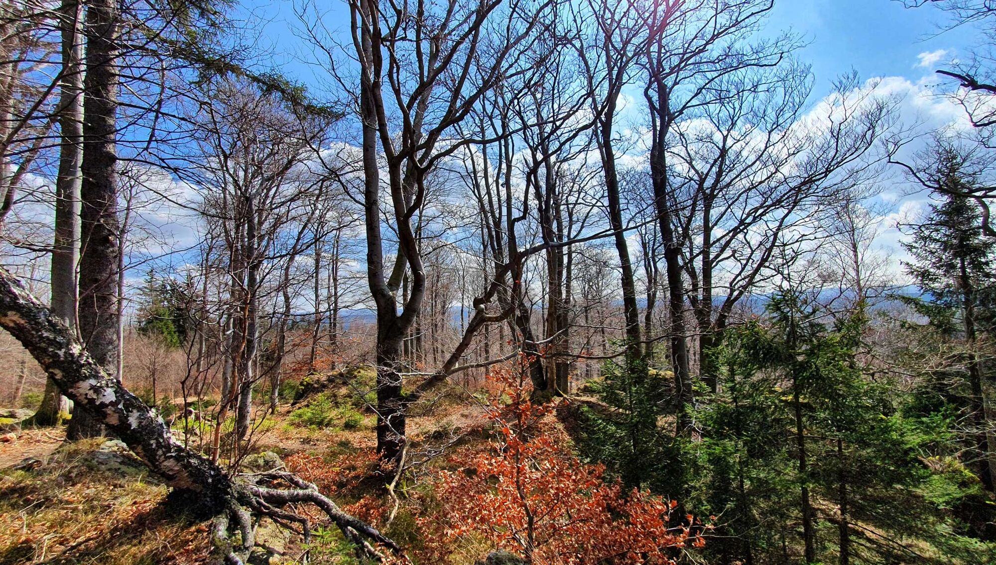
The first part of the hike from Elend to the Barenberg is a demanding section, but can be managed with a basic level of fitness. Once at the top of the Barenberg mountain, you can collect the first stamp of the Harzer Wandernadel and enjoy the view of the Harz town of Elend. It continues relaxed on the forest floor to the snoring cliffs. Here you will find the second stamp point, a place to rest and you can climb the snoring cliff via iron ladders and enjoy the view over the Harz Mountains. The further way over the Mauseklippen to Schierke is a rooted ground and goes slightly downhill. From time to time you can see Brocken mountain and the Wurmberg mountain. After you have crossed the village of Schierke, hike slightly uphill again in the direction of Helenenruh. After you have reached the Helenenruh, it goes over the "old bobsleigh run" into the valley to Elend.
- Directions
-
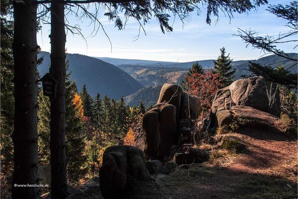
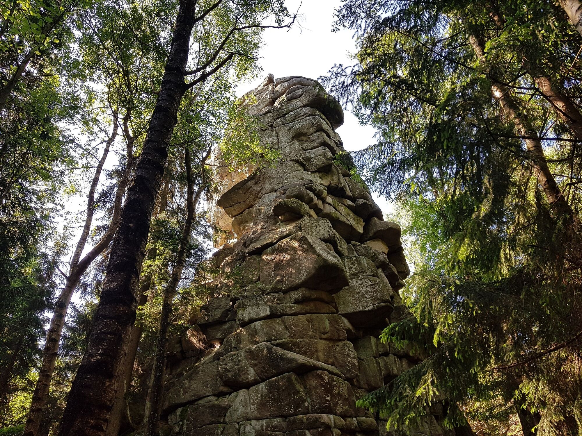
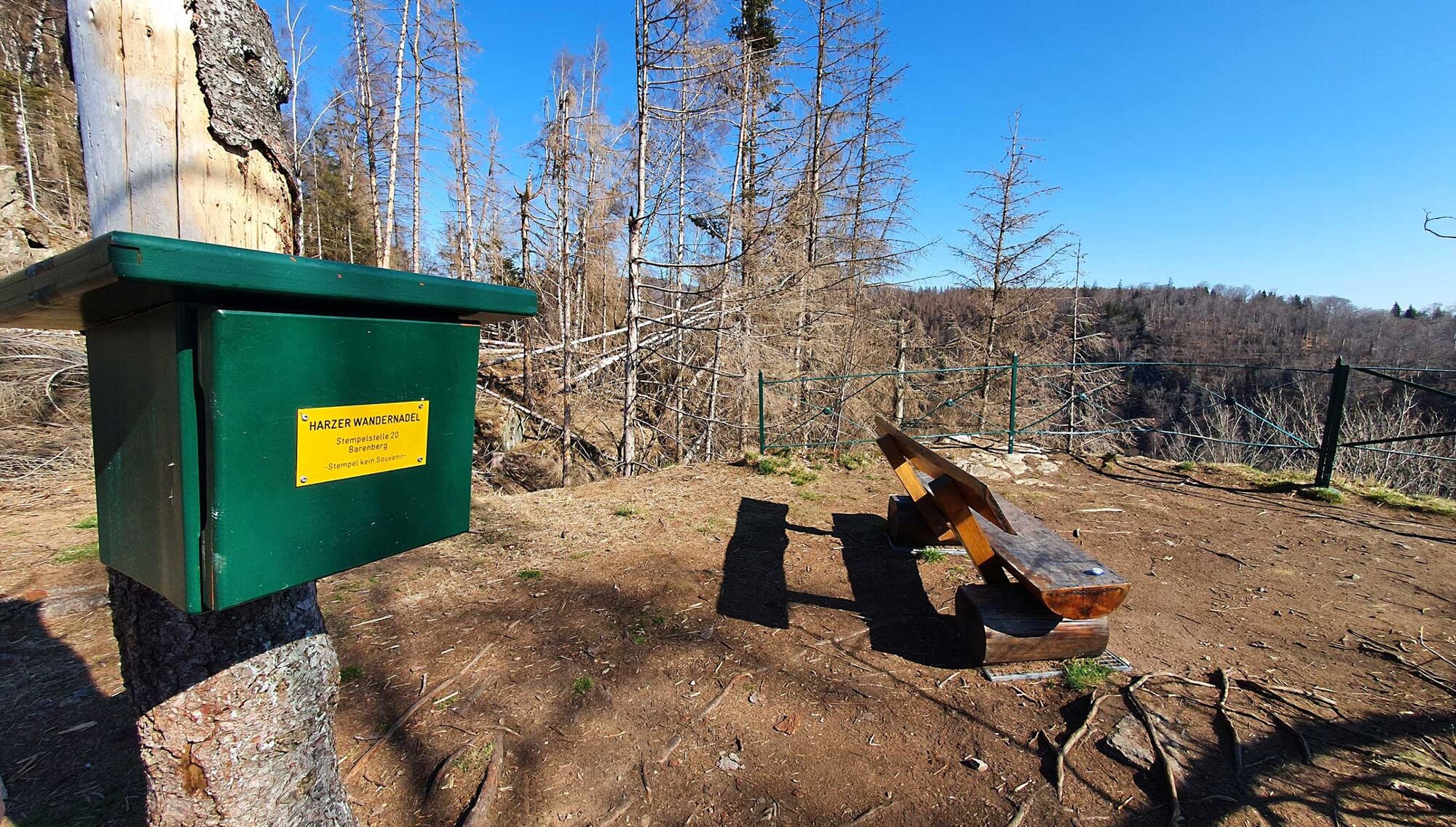
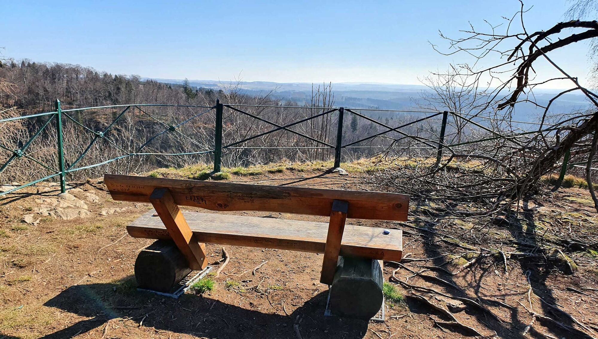
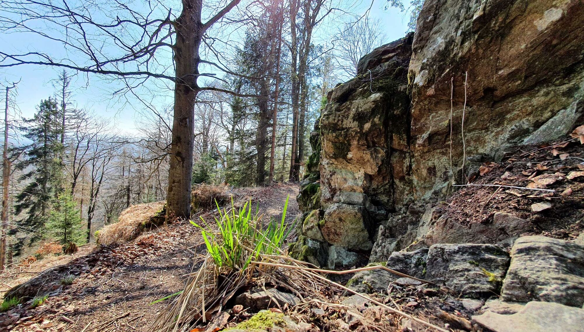
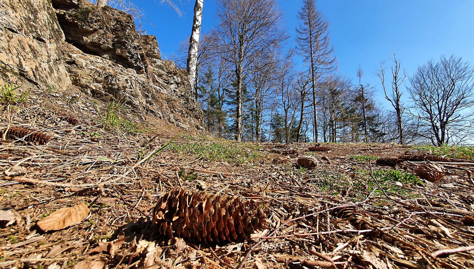
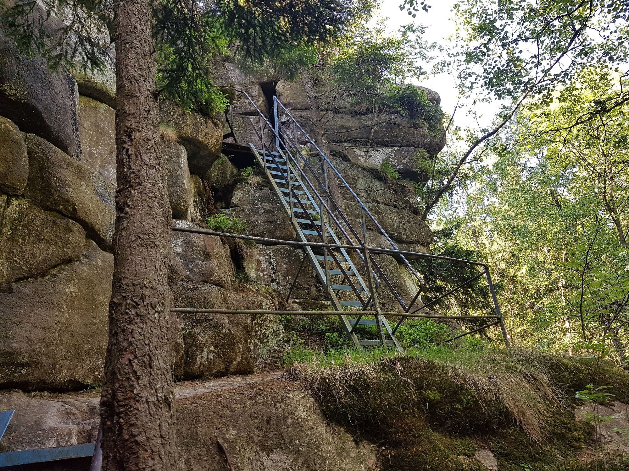
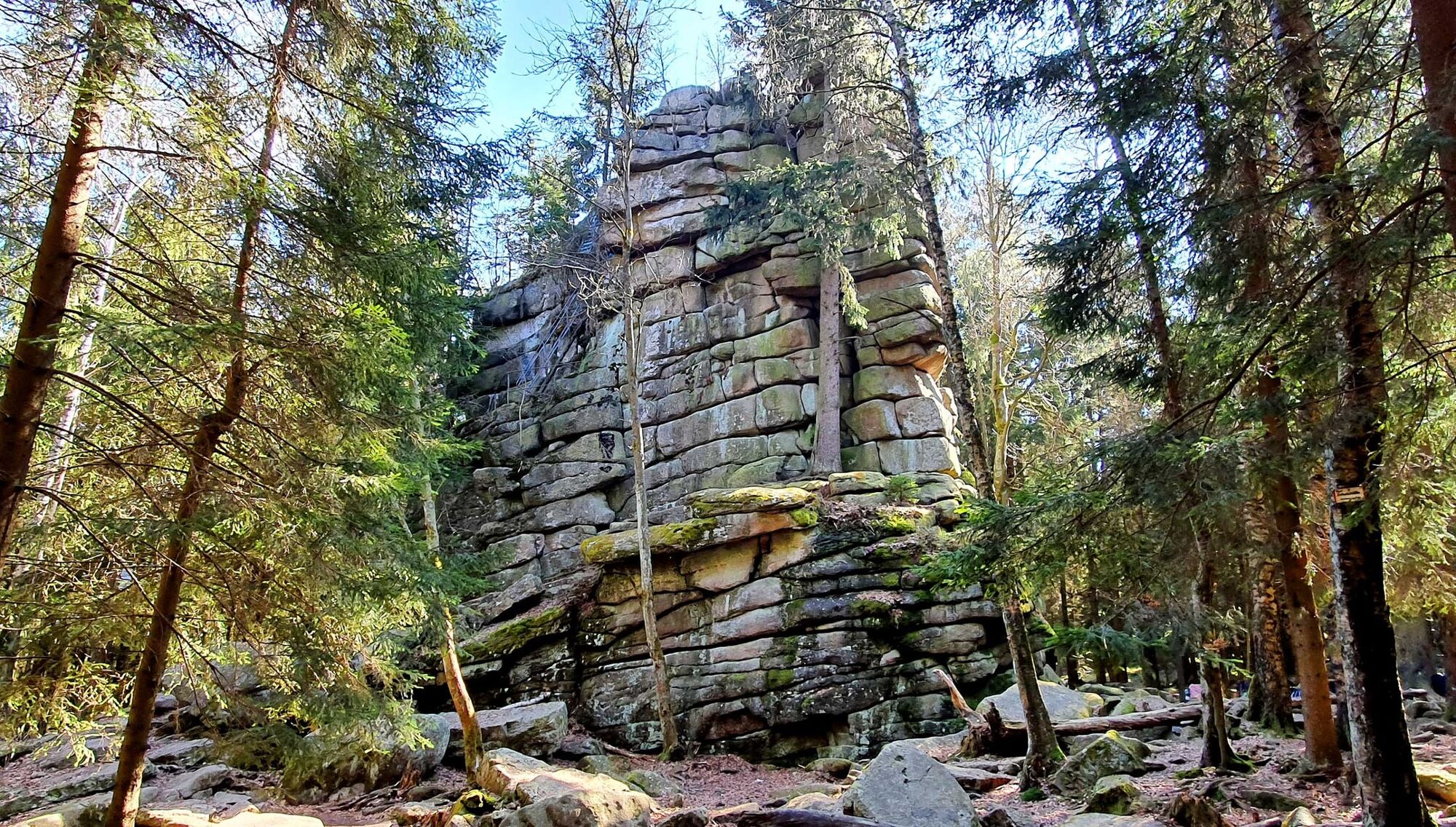
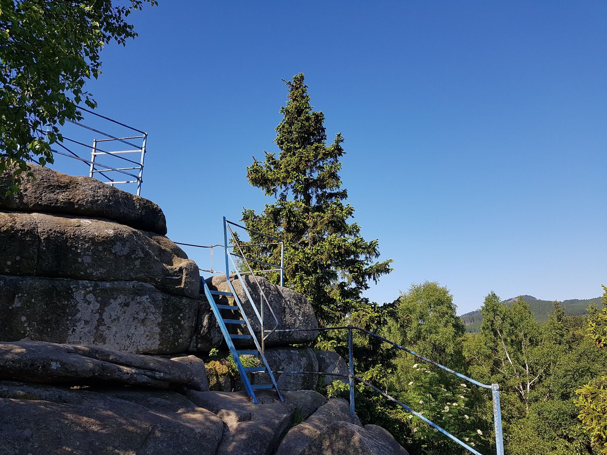
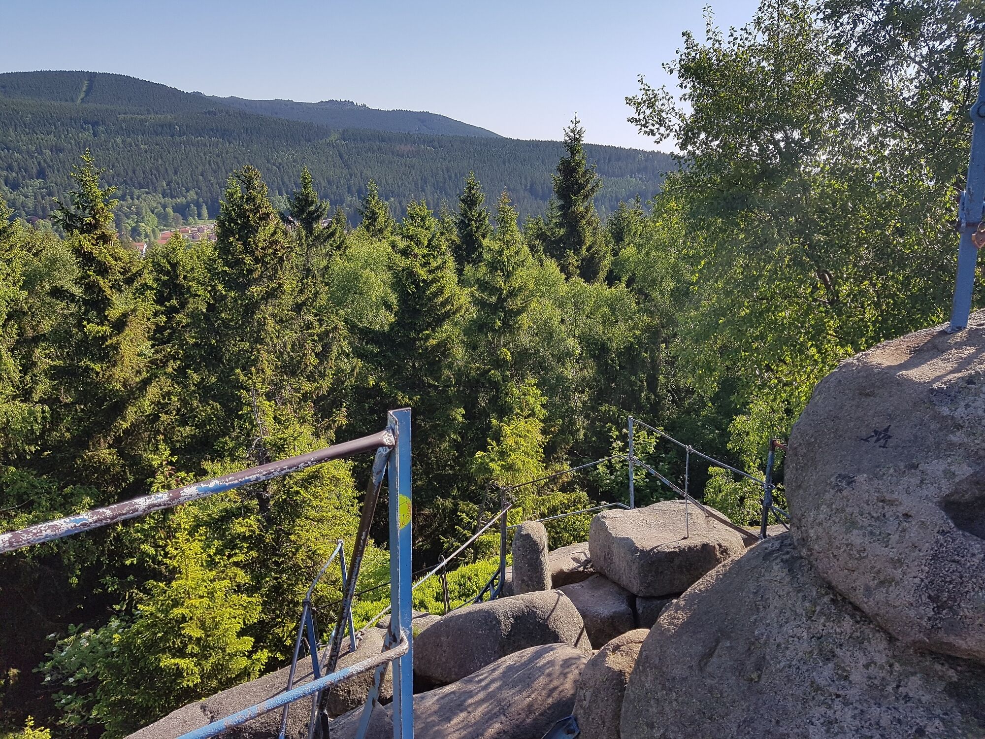
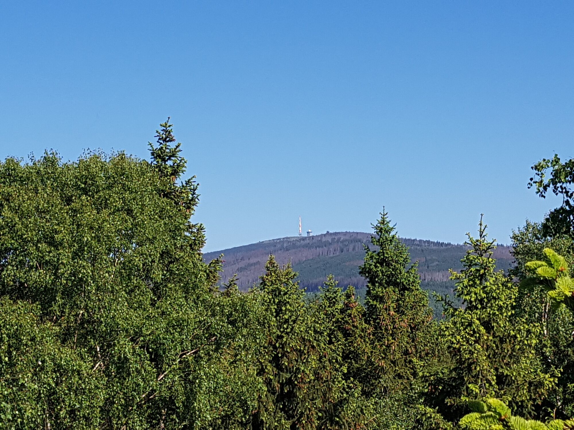
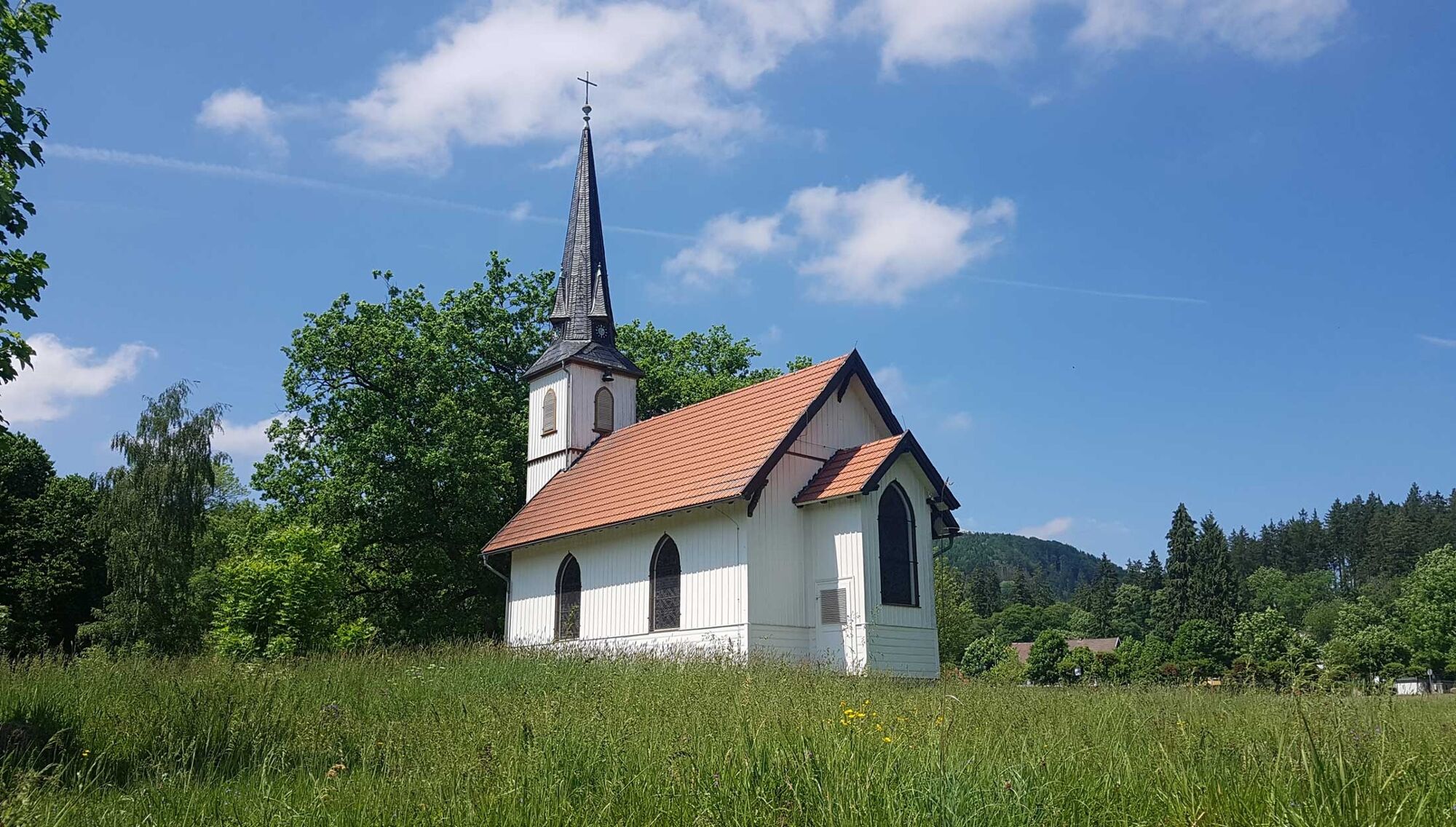
The tour starts in the car park in the center of Elend. From here, go towards the small wooden church in the opposite direction to the roundabout. TIP: A detour to the 6 x 11 m small wooden church is always worthwhile. From there, walk along Braunlager Straße to the Hotel Waldmühle. Opposite the hotel, turn into "Alte Braunlager Straße". From here, follow the signs to the right for "Barenberg", which lead slightly uphill. You cross the tracks of the Harzer Schmalspurbahnen and then follow the path uphill. TIP: On this path we recommend the small detour to the right-hand side to the "Aussichtskanzel Barenberg". There you have a wonderful view over the Harz mountains and the small Harz town of Elend. You can also get hold of the first of a total of three stamps (No. 20) for the Harzer Wandernadel here. Back from the small detour, you soon come across a wider forest path, which you follow to the right. In the middle of the forest you will reach the snoring cliffs on the right-hand side. The snoring cliffs are two 28 m high famous "granite towers", they are 671 m above sea level and produce snoring-like noises that rise above the trees in south-easterly winds. With the help of ladders and stairs you can climb one of the two cliffs. But beware! The stairs and ladders are quite steep and there are sometimes large gaps between the rocks. From the top you can enjoy the view of Schierke, the Brocken mountain (1141 m) and the Wurmberg mountain (971 m).
When you get back down, you will find a few benches on the left and the stamp box for the Harzer Wandernadel. The second stamp (No. 14) is waiting for you there.
After a short rest, you go to the Mäuseklippen on the right. Here, too, you will find the remains of rock/granite only in smaller versions.
Follow the path to Schierke, where you have the opportunity to stop.
A NOTICE: The hike can be ended in the village of Schierke and, as an overnight guest, you can use your vacation ticket from the Stadt Oberharz am Brocken and take the bus back to Elend for free... or they follow their original route:
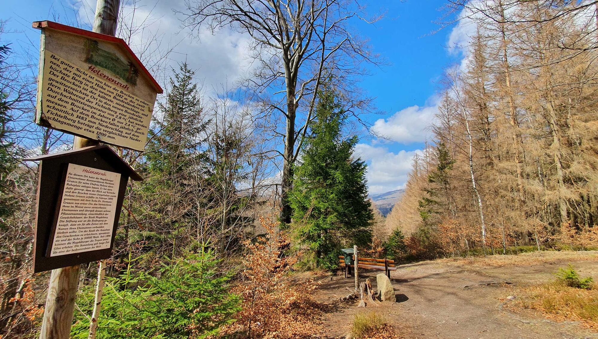
and walk along the "Alten Dorfstraße" in Schierke in the direction of "Alte Wernigeröder Straße" and follow the signs to "Helenenruh".
Arrived at the top of the Helenenruh, enjoy the vantage point with a view of the gorge valley of the Kalten Bode (150 m steep drop), to Schierke and to the Brocken mountain. And for stamp hunters, the third stamp, number 21, is waiting to be stamped in your hiking booklet.
From the Helenenruh it goes quite steeply downhill via the signposts "Alte Bobbahn" back to Elend.
PLEASE NOTE: You will cross Landstraße 99 Schierke – Elend twice (we ask you to be extremely careful as the road is difficult to see)
At the end of the "old bobsled" keep left in the direction of Elend and turn into Heinrich-Heine-Weg.
At the train station, turn downhill towards the roundabout and the car park of the town center (Ortsmitte), where you end your circular walk.
- Highest point
- 673 m
- Endpoint
-
Elend, parking spot at the roundabout (main street)
- Height profile
-
 © outdooractive.com
 - Equipment
-
Sturdy shoes, functional clothing, backpack food, sun and rain protection are recommended. Don't forget to pack your (mobile phone) camera, the Harzer Wandernadel stamp booklet and, if necessary, binoculars.
- Safety instructions
-
Not suitable for prams or similar. Since the hike is mostly in open terrain, we strongly recommend that you think of sufficient sun protection and a hat in the sun and in the summer months! Be careful when climbing the snoring cliffs, the ladders and steps are very steep, sometimes far apart and have large gaps. Hold your kids tight. Anyone who is afraid of heights should not climb the rock.
On some sections of the route, short-term impairments, detours and road closures can occur at any time due to forest changes and storm damage. Inform yourself shortly before your hike. Current information can be found here >
- Tips
-
On this round tour, you have the chance to collect three famous stamps as well as a special stamp of the Harzer Wandernadel.
No. 20 - Aussichtskanzel Barenberg
No. 14 - Schnarcherklippen
No. 21 - Helenenruh
9953 special stamp Kleine Holzkirche
- Additional information
- Directions
-
You can reach Elend by car
- via the B27 from the direction of Braunlage and Blankenburg - as well as via the B244 from Wernigerode via Elbingerode
- or via the L100 and L99 from Wernigerode via Drei-Annen-Hohne.
- Public transportation
-
INSA - your route planner for local transport in Saxony-Anhalt >>
You can reach the Harz town of Elend by taking the Harzer Verkehrsbetriebe bus:
from the direction of Wernigerode and Braunlage
or
with the Harzer Schmalspurbahn from Wernigerode or Nordhausen.
INSA - your route planner for local transport in Saxony-Anhalt >>
TIP :
With the Harz Holiday Ticket, you can travel throughout the Harz region free of charge.
HATIX - free use of the public bus lines of the Harzer Verkehrsbetriebe, the Q-Bus Nahverkehrsgesellschaft, the Halberstädter Verkehrs-GmbH, and the Verkehrsgesellschaft Südharz in the Harz district. Now also free use in the districts of Goslar and Göttingen.
- Parking
-
Paid parking in Elend is located at the town center car park at the roundabout (main street - start of the tour) as well as at the train station.


-

-
AuthorThe tour To the "snorring cliffs" (HWN 14, 20 & 21, 9953) is used by outdooractive.com provided.


General info
-
Der Harz/ Niedersachsen
1061
-
Oberharz
685
-
Schierke
378