- Difficulty
-
medium
- Rating
-
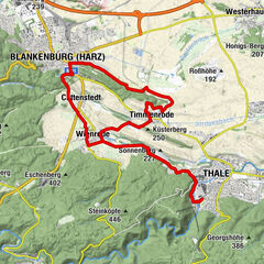
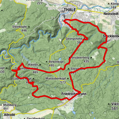
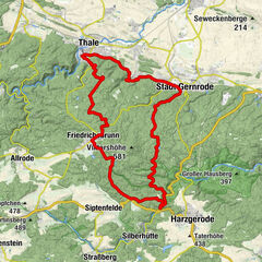
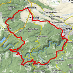
- Route
-
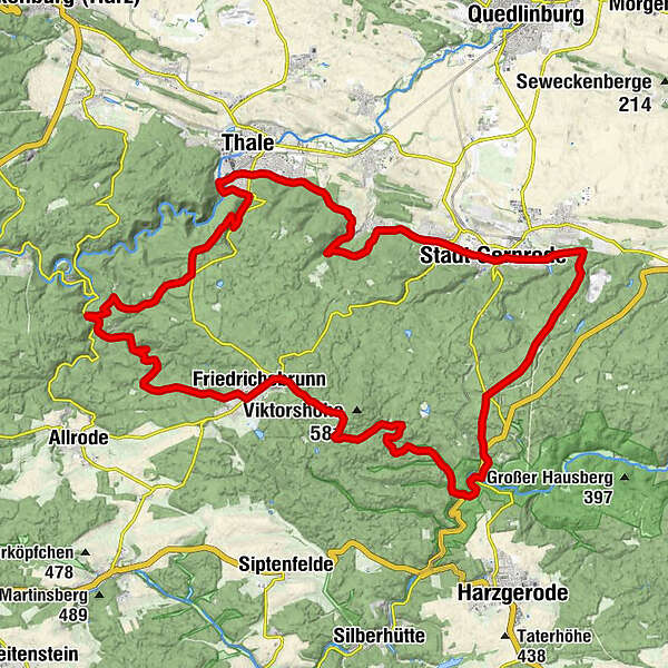
Thale Hauptbahnhof0.1 kmThale (156 m)0.4 kmStecklenberg7.4 kmBad Suderode9.6 kmStadt Gernrode (227 m)10.9 kmSternhaus18.8 kmBurgberg (355 m)20.5 kmWüstung Bischoferode29.3 kmWegenerskopf (587 m)31.7 kmUntrüborn32.5 kmHanolds Bräustübl32.7 kmFriedrichsbrunn32.8 kmHexentanzplatz (457 m)47.1 kmWaldschratt48.1 kmHerz-Jesu-Kirche50.8 kmThale (156 m)51.0 km
- Highest point
- 580 m
- Height profile
-
 © outdooractive.com
- Author
-
The tour Über die Viktorshöhe is used by outdooractive.com provided.
GPS Downloads


Other tours in the regions