
- Brief description
-
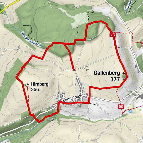
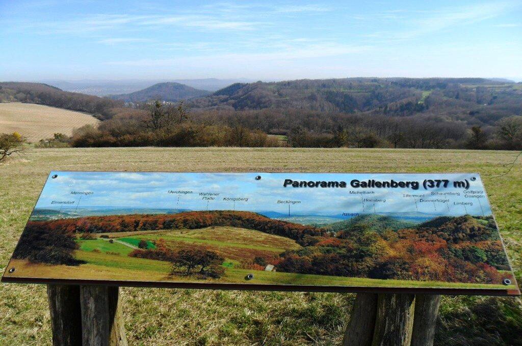
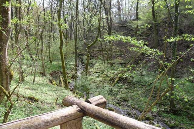
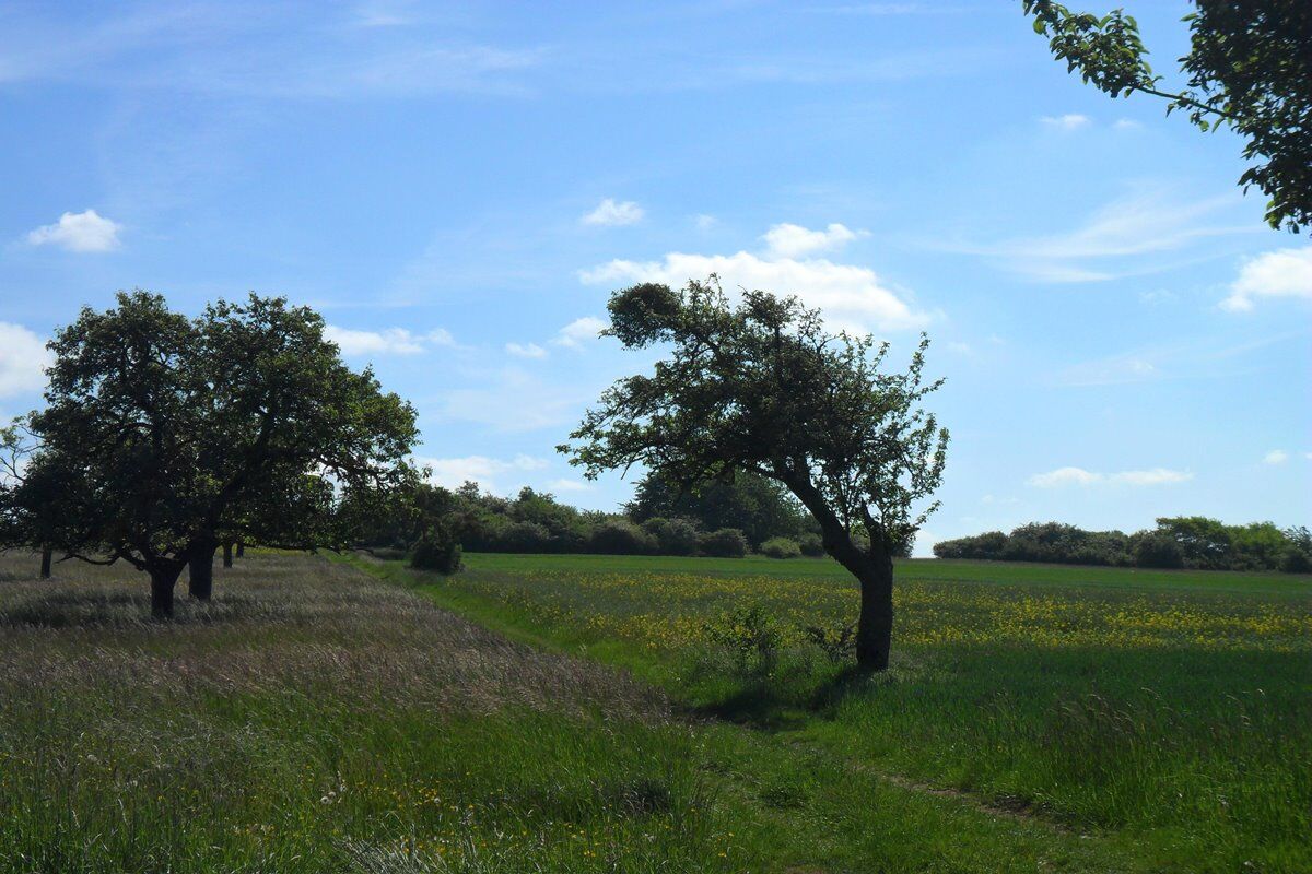
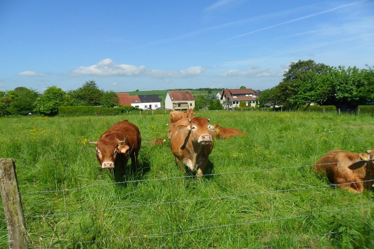
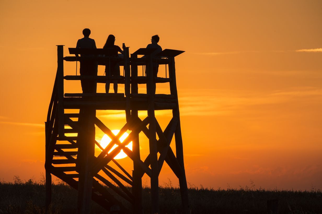
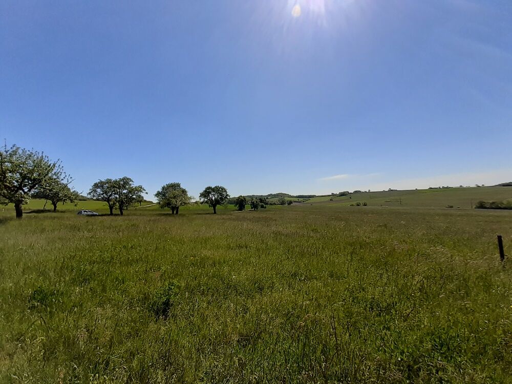
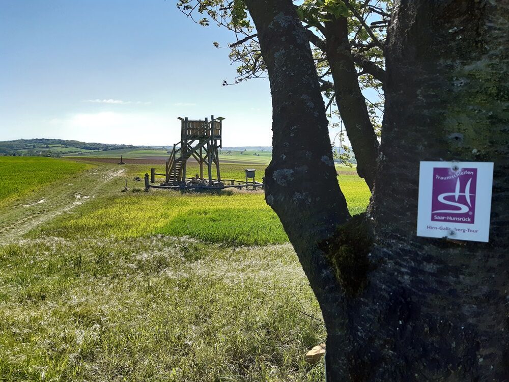
Thie Hirn-Gallenberg Trail hiking offers a number of specific features auch as left-overs of quarries, waters, old vineyard terraces and other sights of cultural and historical importance. In addition, hikers will encounter stunning views in regular intervals giving this trail its additional name ‘Panoramic Trail Rammelfangen‘.
- Difficulty
-
medium
- Rating
-
- Starting point
-
Hikers‘ carpark at the ‘Kaiserlinden‘, Waldstraße, 66798 Wallerfangen (Rammelfangen
- Route
-
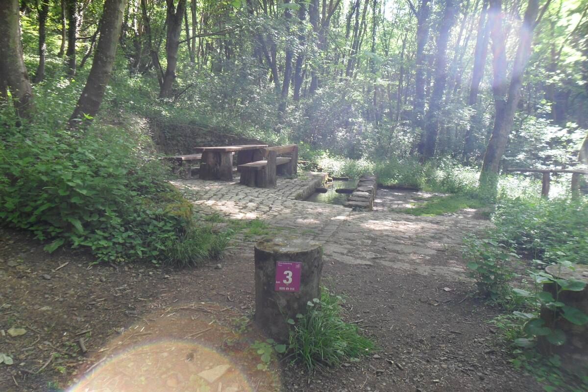
Hirnberg (356 m)2.0 kmBrunnentrog3.0 kmMaria Königin3.5 kmRammelfangen (310 m)3.8 kmGallenberg (377 m)4.6 km
- Best season
-
JanFebMarAprMayJunJulAugSepOctNovDec
- Highest point
- 375 m
- Endpoint
-
Wanderparkplatz an den Kaiserlinden, Waldstraße, 66798 Wallerfangen (Rammelfangen)
- Height profile
-
 © outdooractive.com
 - Safety instructions
-
Please note:
Entering the forest and using the hiking trails is always at one’s own risk.
Depending on season and weather individual legs of hiking trails require a particularly sure foot. Therefore, please make sure to wear hiking shoes with rugged soles for traction and clothes that are appropriate for the respective season and weather conditions.
- Directions
-
A 620 exit Wallerfangen, L 170, L 355 Rammelfangen
- Public transportation
-
By train to Saarlouis or Dillingen, then by bus 421/422 (from ‘SLS Kleiner Markt‘) to Rammelfangen GH Glätzer


- Author
-
The tour Hirn-Gallenberg-Tour is used by outdooractive.com provided.