
- Brief description
-
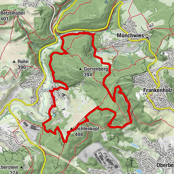
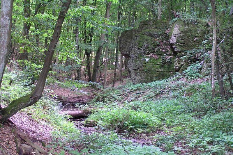
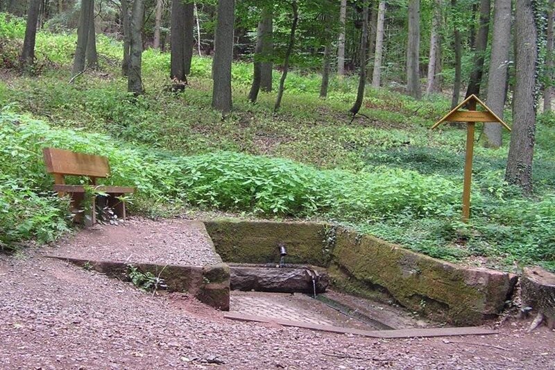
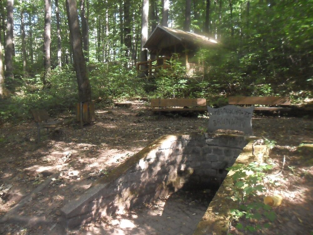
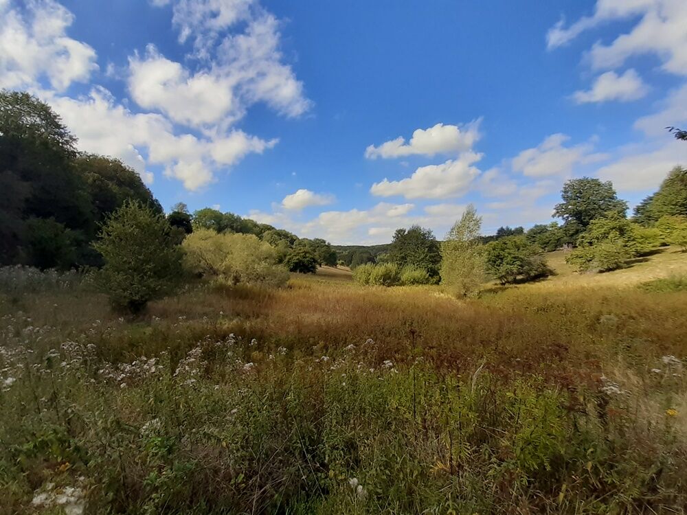
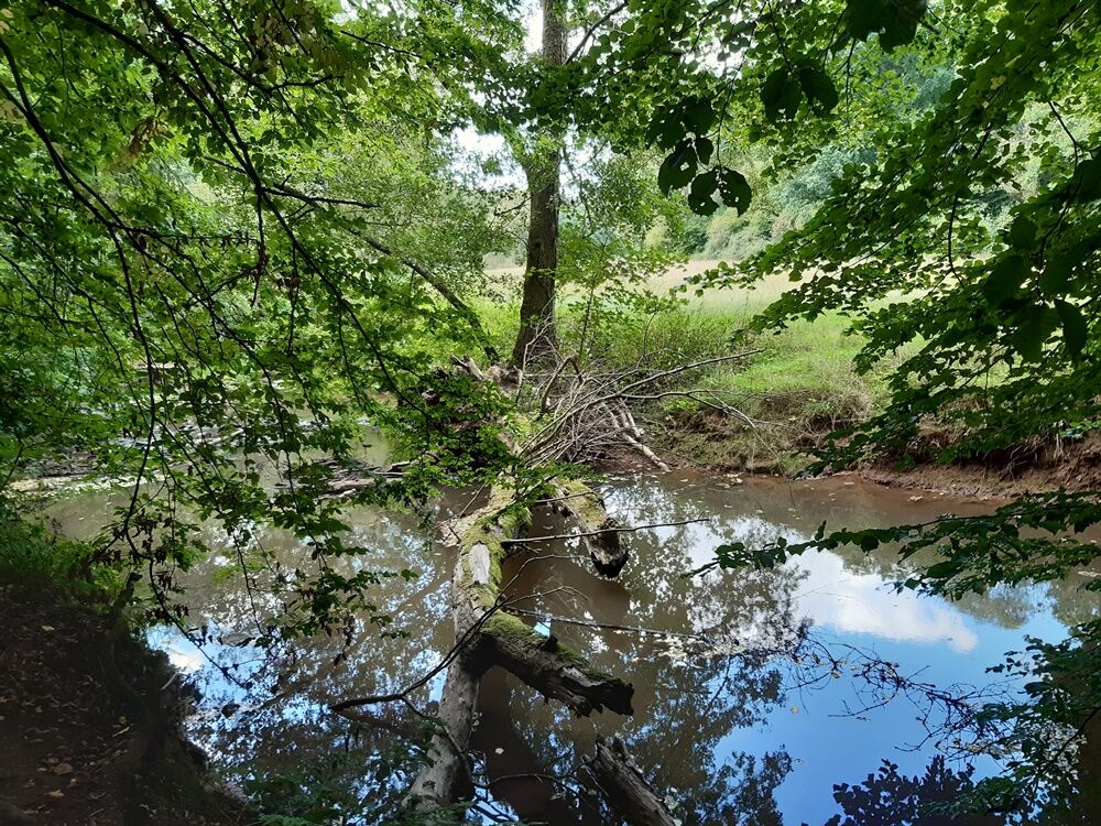
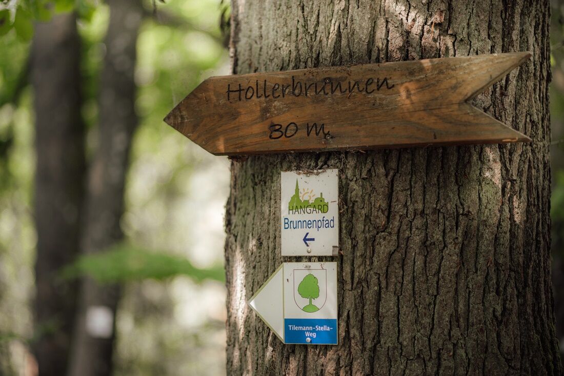
This trail features idyllic V-shaped valleys, striking rock formations, colourful meadows and some great high routes. A highlight of this loop are seven historical well systems according to which the trail is named. Hikers will also pass various boundary stones.
- Difficulty
-
medium
- Rating
-
- Starting point
-
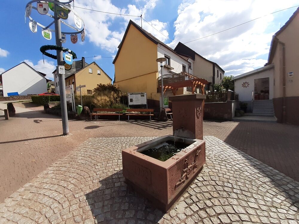
Hangard village fountain; Jean-Mathieu-Straße, 66540 Neunkirchen (Hangard)
- Route
-
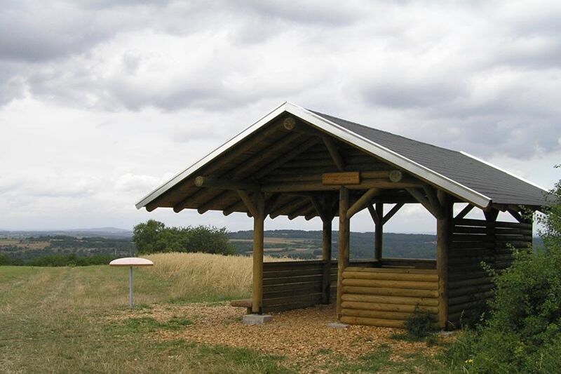
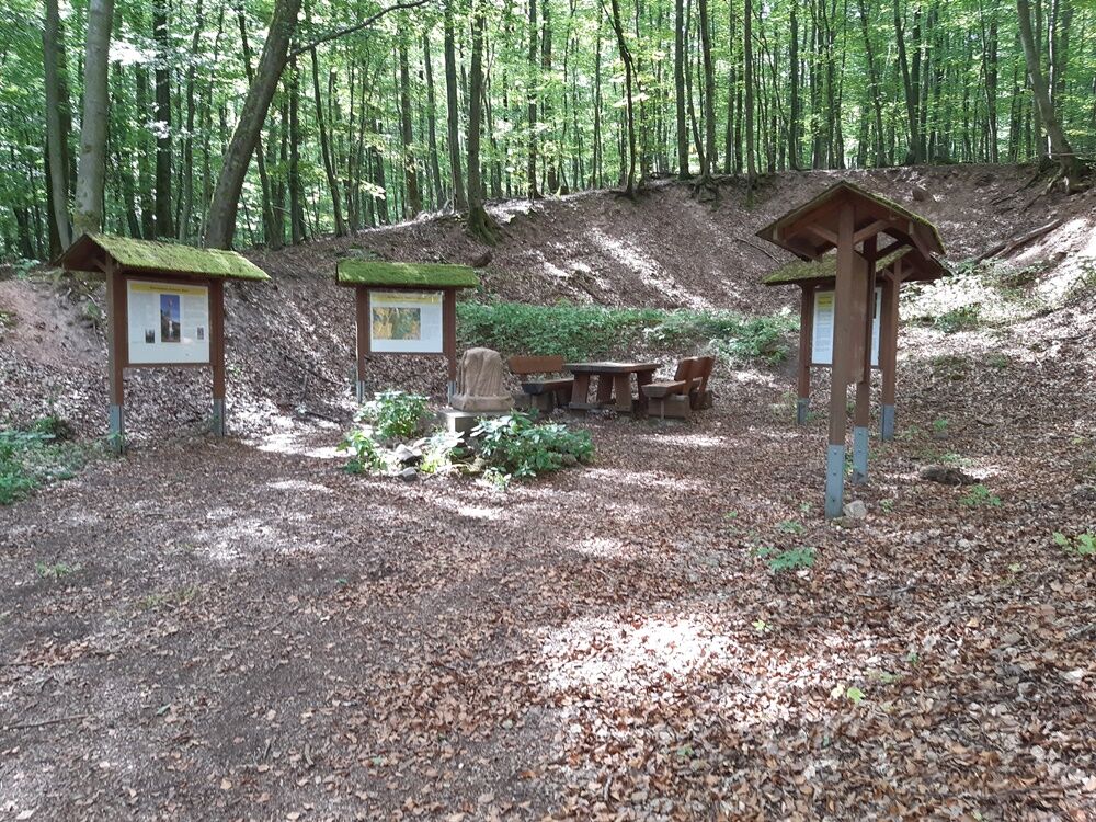
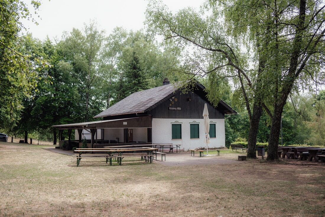
Neunkirchen (Saar) (252 m)HangardZum Ziehwald0.1 kmKameradschaftsbrunnen2.3 kmEbertsquelle3.9 kmFrankenbrunnen6.9 kmKarlsbrunnen8.0 kmSteinberg-Hütte8.4 kmHollerbrunnen9.1 kmBruderbrunnen10.7 kmLichtenkopf (408 m)11.2 kmNeunkirchen (Saar) (252 m)12.8 kmDietzlochquelle13.3 kmHeilige Familie14.2 kmZum Ziehwald14.3 kmHangard14.4 km
- Best season
-
JanFebMarAprMayJunJulAugSepOctNovDec
- Highest point
- 411 m
- Endpoint
-
Hangard Dorfbrunnen; Jean-Mathieu-Straße, 66540 Neunkirchen (Hangard)
- Height profile
-
 © outdooractive.com
 - Safety instructions
-
Please note:
Entering the forest and using the hiking trails is always at one’s own risk.
Depending on season and weather individual legs of hiking trails require a particularly sure foot. Therefore, please make sure to wear hiking shoes with rugged soles for traction and clothes that are appropriate for the respective season and weather conditions.
- Directions
-
In order to get to Hangard, take the A8 up to Neunkirchen-Wellesweiler. In Wellesweiler, take the L287 to Ottweiler. Stay on the right In Wiebelskirchen and the L 121 will take you to Hangard after about 2 km. Via ‘ Im Schachen ‘ street you’ll get to ‘ An der Oster ‘ street and the starting point of this tour.
- Public transportation
-
By train to Neunkirchen, then bus 304 to ‘ Hangard Ortsmitte ‘
- Parking
-
front of the ‘Ostertalhalle‘


- Author
-
The tour Wells Path is used by outdooractive.com provided.