- Brief description
-
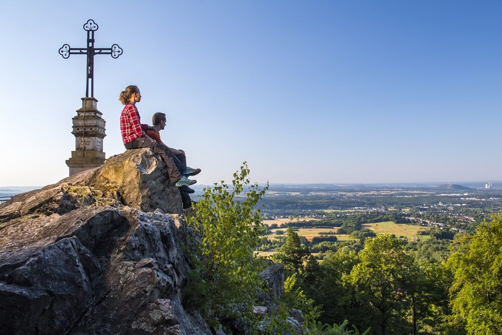
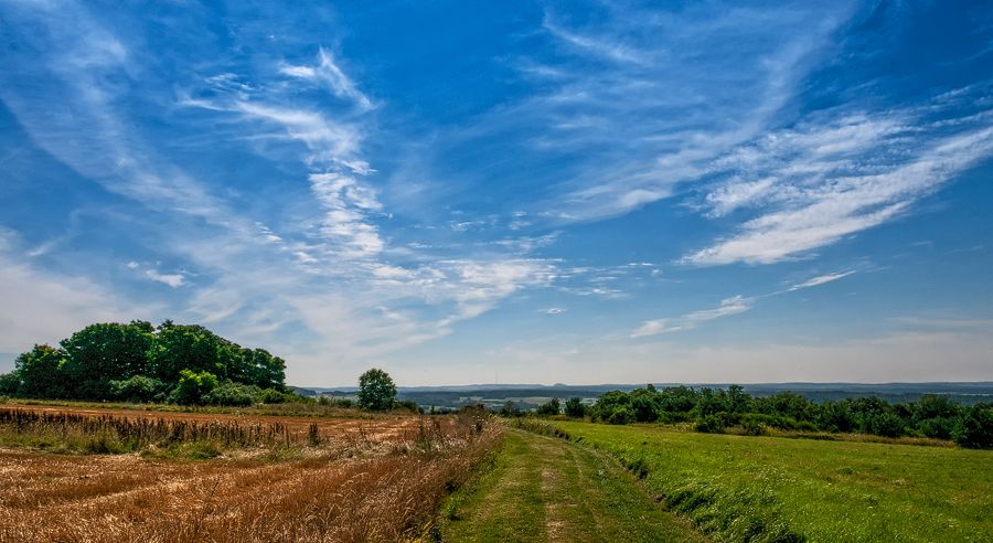
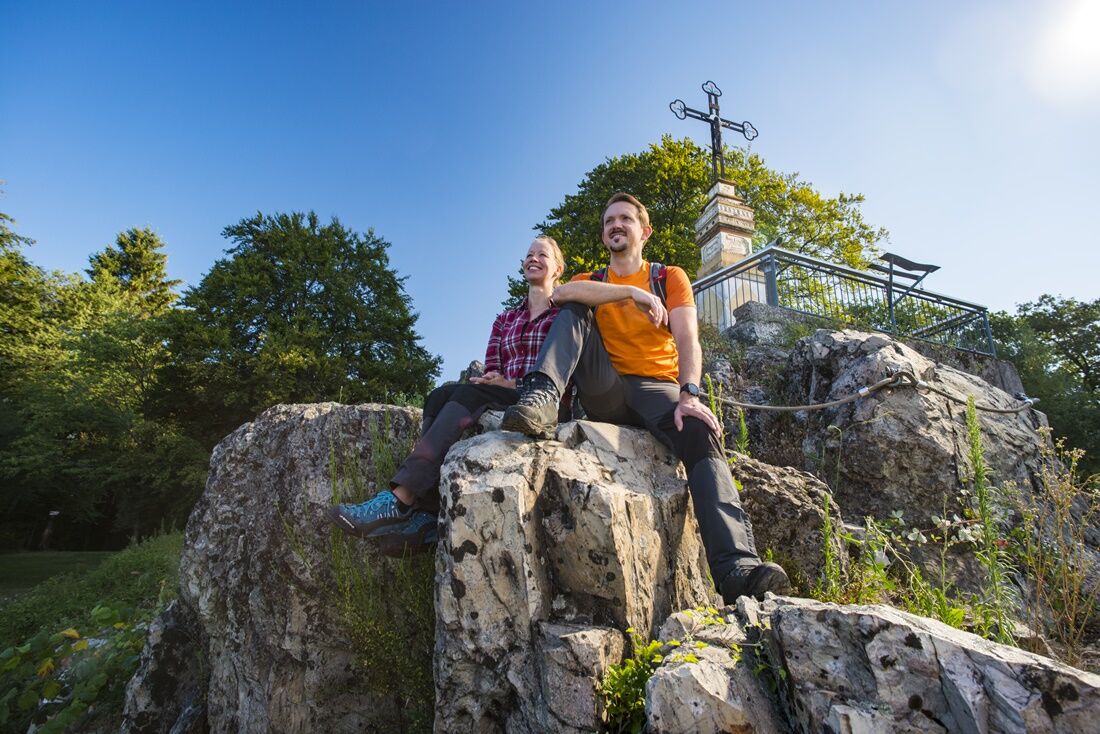
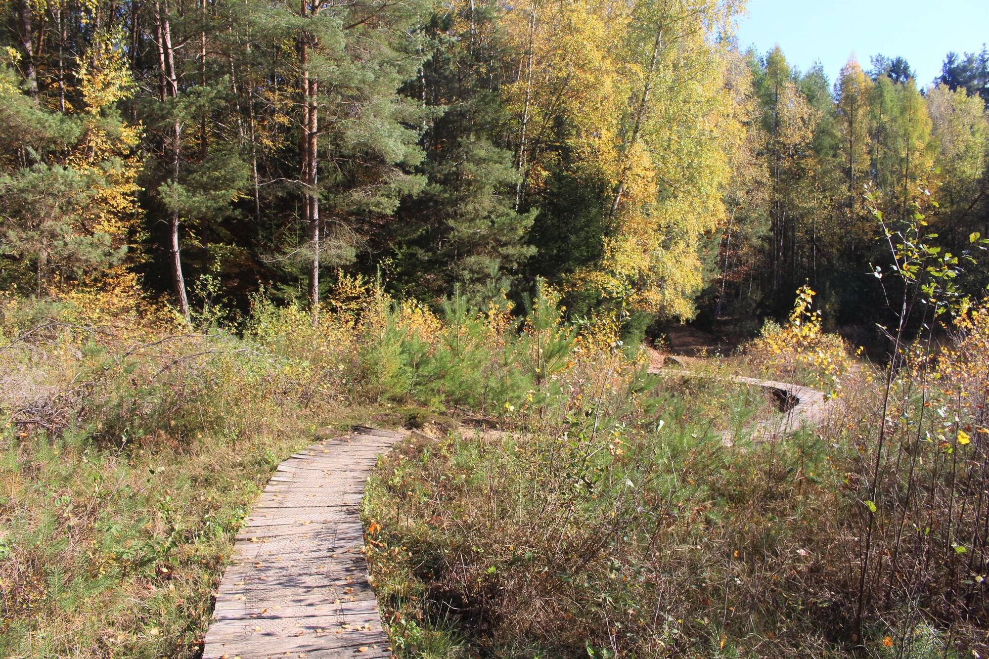
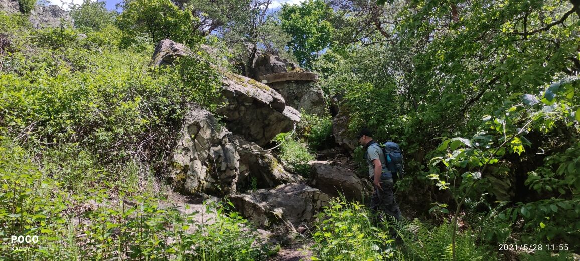
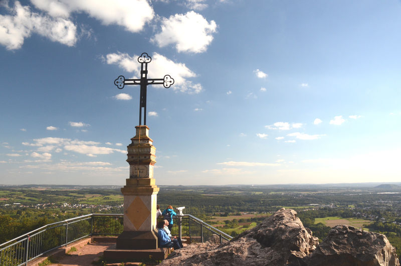
On “Germany’s most beautiful hiking trail 2007“ you will explore the rocky landscape around the Litermont peak. The path winds its way up the 414 meters high Litermont mountain, over rugged volcano rocks, forest paths and through hilly landscapes. On the way, hikers will encounter a willow dome and a Celtic ceremonial site.
- Difficulty
-
medium
- Rating
-
- Starting point
-
Waldparkplatz Etzelbachstraße Nalbach, Am Litermont, 66809 Nalbach
- Route
-
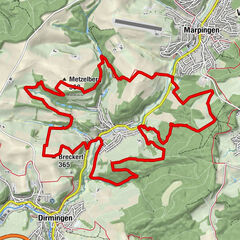
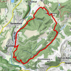
Etzelbachquelle0.4 kmMariengrotte1.5 kmKlingelborn4.7 kmHechtborn5.4 kmLitermont (414 m)7.2 kmAussicht am Litermont7.2 kmKletterwald8.3 km
- Best season
-
JanFebMarAprMayJunJulAugSepOctNovDec
- Highest point
- 406 m
- Endpoint
-
Waldparkplatz Etzelbachstraße Nalbach, Am Litermont, 66809 Nalbach
- Height profile
-
 © outdooractive.com
 - Safety instructions
-
Please note:
Entering the forest and using the hiking trails is always at one’s own risk.
Depending on season and weather individual legs of hiking trails require a particularly sure foot. Therefore, please make sure to wear hiking shoes with rugged soles for traction and clothes that are appropriate for the respective season and weather conditions.
- Directions
-
A8 to exit Saarwellingen, then on to Nalbach
- Public transportation
-
By train to Saarlouis or Dillingen, then bus 401, 403 or 466 to ‘ Nalbach Kirche ‘ or ‘ Piesbach Kirche ‘ , rest walking
- Parking
-
‘Maldix-Waldparkplatz‘ carpark at the end of Etzelbachstraße, Nalbach


- Author
-
The tour Litermont Peak Tour is used by outdooractive.com provided.


General info
-
Moselle
244
-
Willkommensregion Neunkirchen
420
-
Saarlouis
49