© Saarpfalz-Touristik, Wolfgang Henn

© Saarpfalz-Touristik, Wolfgang Henn

© Saarpfalz-Touristik, Wolfgang Henn

© Saarpfalz-Touristik, Manuela Meyer

© Thomas Klein

© Thomas Klein

© Stefan Wagner


- Brief description
-
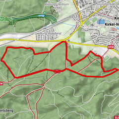
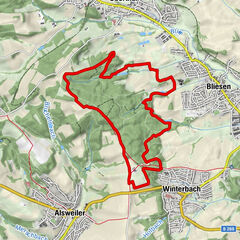
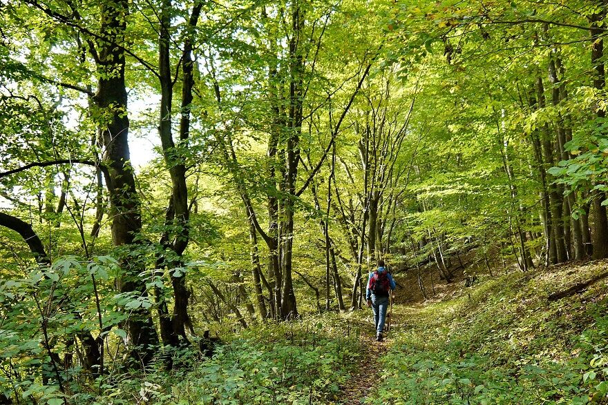
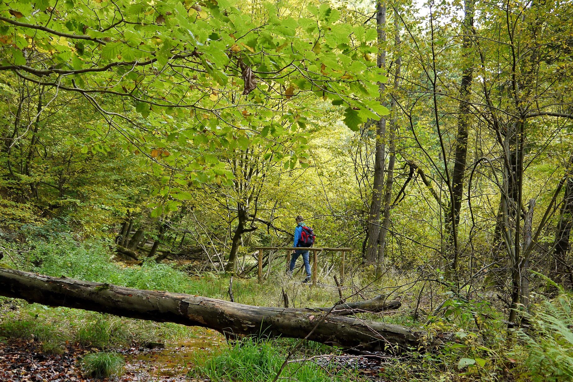
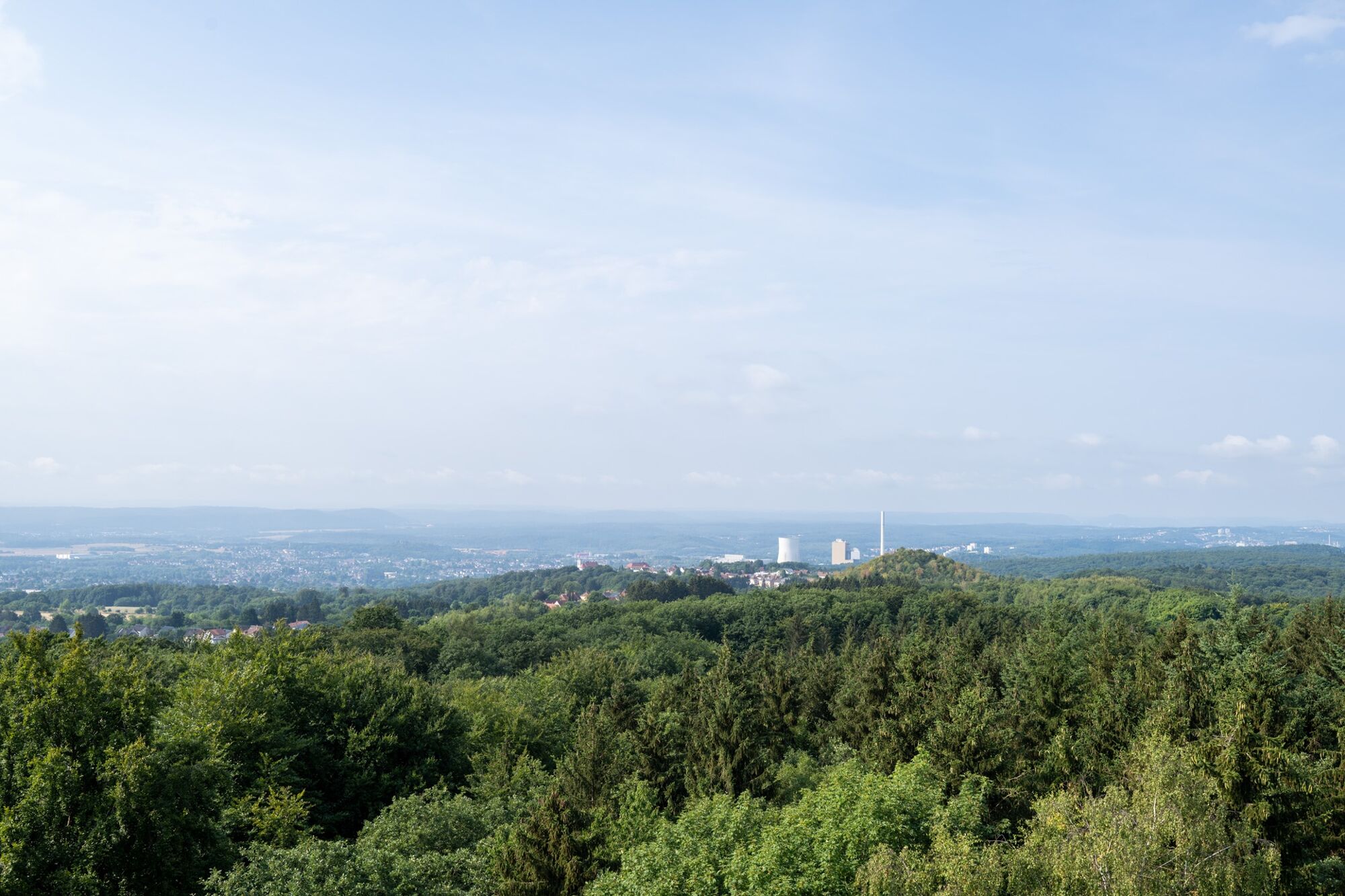
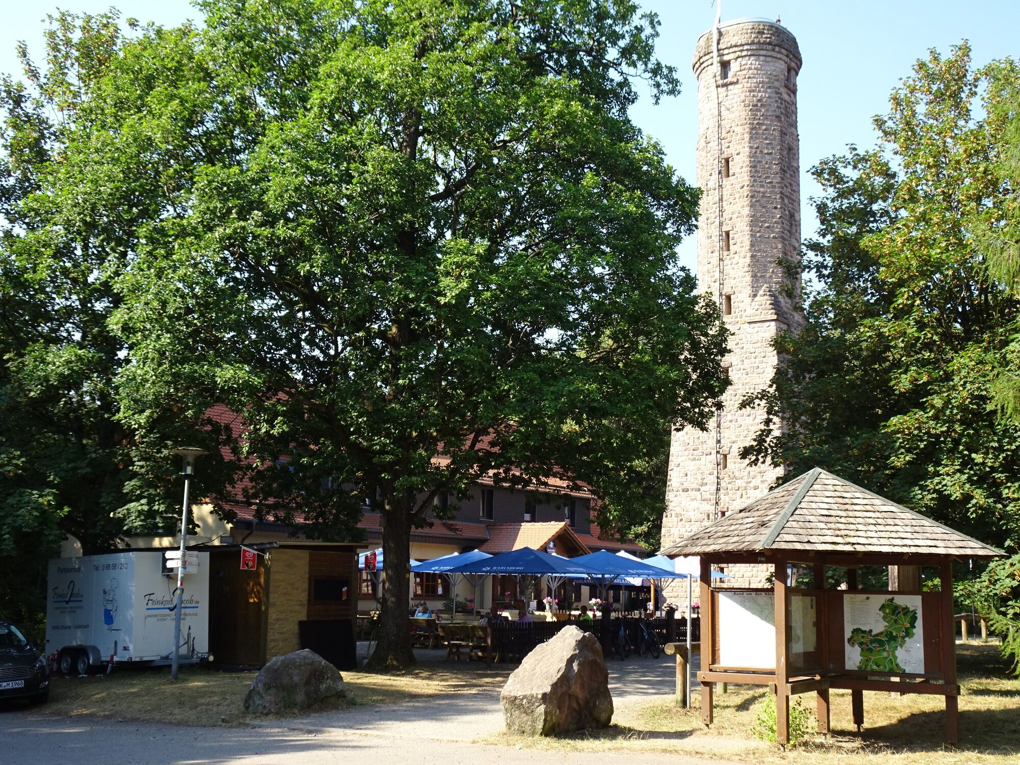
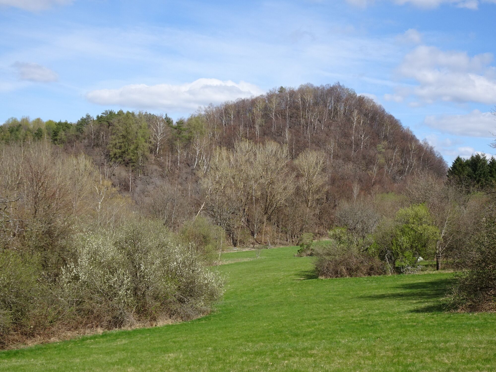
Eine dorfnahe Tour durch ein herrliches Waldgebiet mit großem Buchenanteil und historischen Bergbaurelikten. Der Grubenweg Höchen verbindet die beiden historischen Höcher Bergbauschauplätze, die als einzige Gemeinsamkeit haben, auf Höcher Gebiet zu liegen. Das Gasthaus Höcherberghaus sowie der Höcher Turm runden das Wandererlebnis ab.
- Difficulty
-
medium
- Rating
-
- Route
-
Gasthaus Höcherberg1.7 kmHöcherberg (517 m)1.9 km
- Best season
-
JanFebMarAprMayJunJulAugSepOctNovDec
- Highest point
- 515 m
- Endpoint
-
Wanderparkplatz in der „Römerstraße“ in Bexbach-Höchen – in der Nähe von „Hundefreunde Höcherberg e.V.“
- Height profile
-
 © outdooractive.com


-

-
AuthorThe tour Grubenweg Höchen is used by outdooractive.com provided.
GPS Downloads


General info
Refreshment stop
Cultural/Historical
A lot of view
Other tours in the regions