- Brief description
-
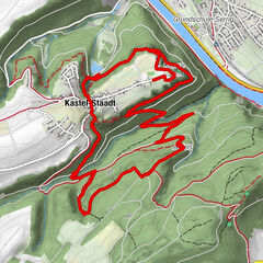
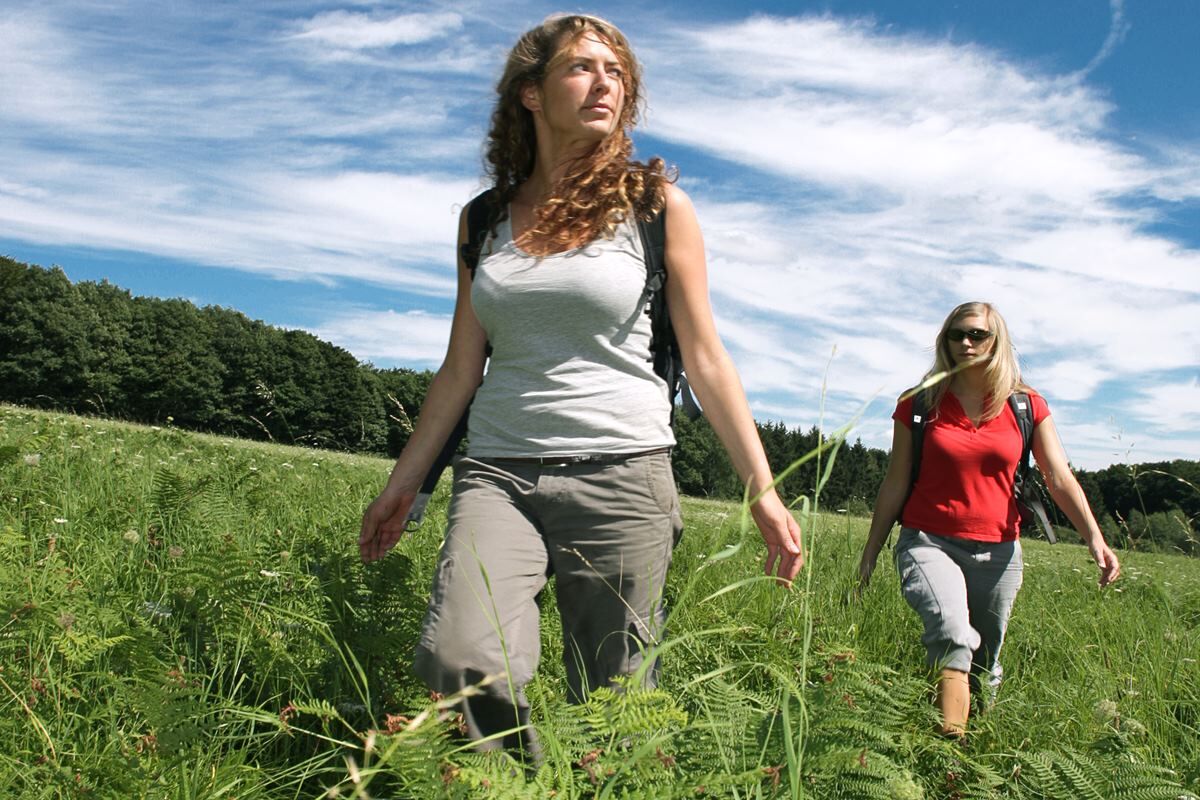
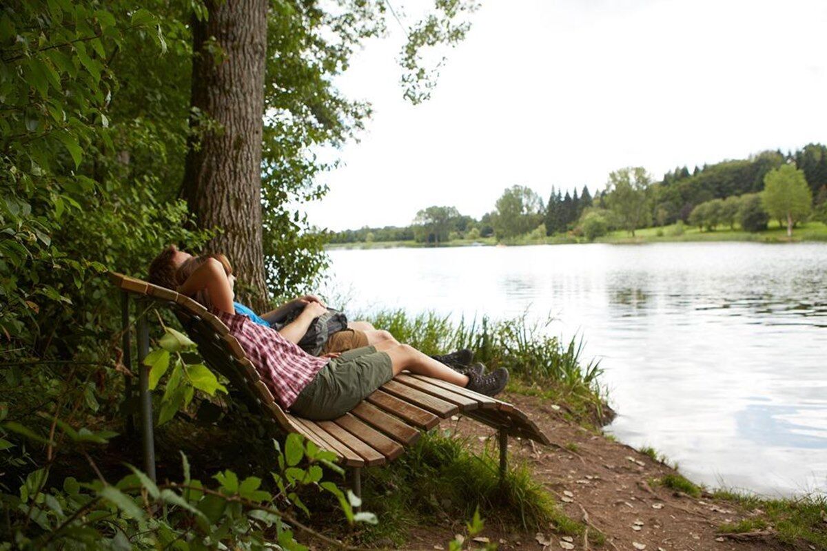
The ‘Hochwälder’ is one of the dream routes in the Saar Hunsrück region and largely runs parallel to the ‘Stausee-Tafeltour‘, the Saar-Hunsrück trail and the ‘Bergener‘ trail. It is characterised by varied forest stretches including lovely clearings and idyllic creek valleys.
- Difficulty
-
medium
- Rating
-
- Starting point
-
Tourist information at Losheim reservoir (‘Stausee‘); Zum Stausee 198, 66679 Losheim
- Route
-
Losheim am SeeAussichtspunkt Birkenhain3.8 kmSeeGartenBistro8.8 kmSeehotel Losheim9.1 kmLosheim am See9.3 km
- Best season
-
JanFebMarAprMayJunJulAugSepOctNovDec
- Highest point
- 429 m
- Endpoint
-
Tourist-Info am Stausee Losheim; Zum Stausee 198, 66679 Losheim
- Height profile
-
 © outdooractive.com
 - Safety instructions
-
Please note:
Entering the forest and using the hiking trails is always at one’s own risk.
Depending on season and weather individual legs of hiking trails require a particularly sure foot. Therefore, please make sure to wear hiking shoes with rugged soles for traction and clothes that are appropriate for the respective season and weather conditions.
- Directions
-
Take the A 8 up to exti Merzig, then L 157 to Losheim, then B 268 exit ‘Stausee Losheim‘
- Public transportation
-
Bus R1 (from Merzig train station) to Losheim train station (approx. 20 min walking ) or R230 (‘3-Seen-Bus‘, seasonal service from Mettlach train station) to ‘Losheim Stausee‘


- Author
-
The tour ‘Der Hochwälder‘ is used by outdooractive.com provided.


General info
-
Hochwald Ferienland
380
-
Merzig
77


")