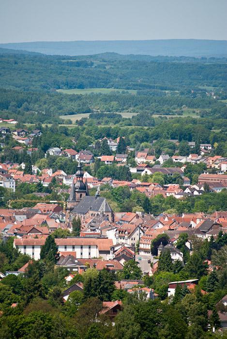
© Gemeinde Freisen


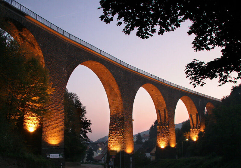
© Gemeinde Freisen - Achim Später

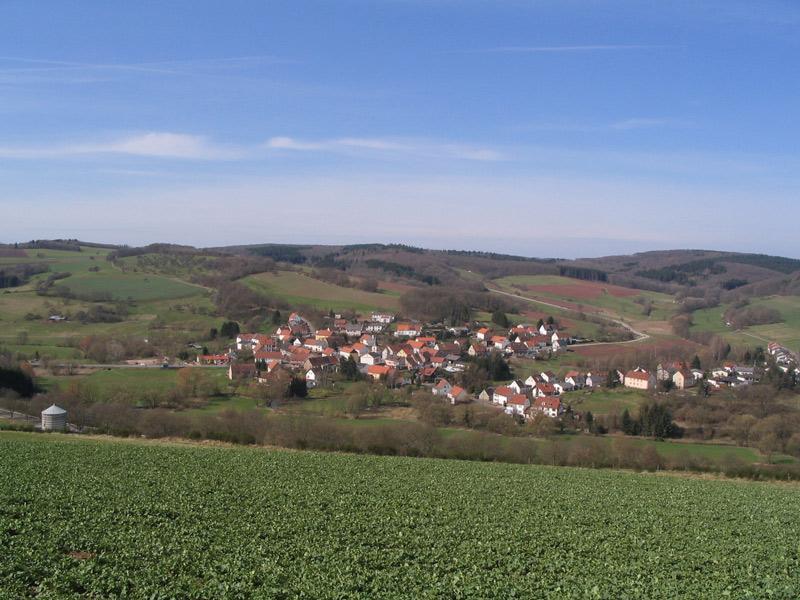
© Outdooractive Redaktion - Lokilech, edited by ttog

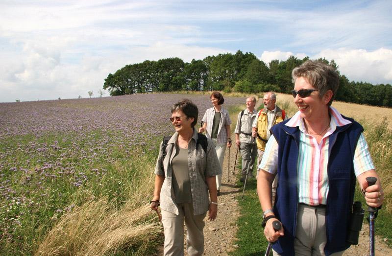
© Gemeinde Freisen - Achim Später
Tour data
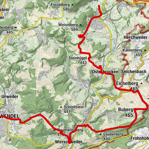
26.97km
285
- 462m
567hm
478hm
06:00h
- Difficulty
-
difficult
- Rating
-
- Route
-
Saint-Wendel (300 m)Wendalinusbasilika0.0 kmWendelinushof3.1 kmDaumerenberg (413 m)4.7 kmWerschweiler6.3 kmSaal8.8 kmBuberg (465 m)13.5 kmLeichenhalle18.6 kmOsterbrücken19.0 kmSteinhügel (443 m)21.3 kmRafello26.9 km
- Best season
-
JanFebMarAprMayJunJulAugSepOctNovDec
- Highest point
- 462 m
- Endpoint
-
Weiselbergbad Oberkirchen
- Height profile
-
 © outdooractive.com
- Author
-
The tour Panoramaweg Sankt Wendeler Land - 1. Etappe is used by outdooractive.com provided.
GPS Downloads


General info
Refreshment stop
A lot of view
Other tours in the regions