
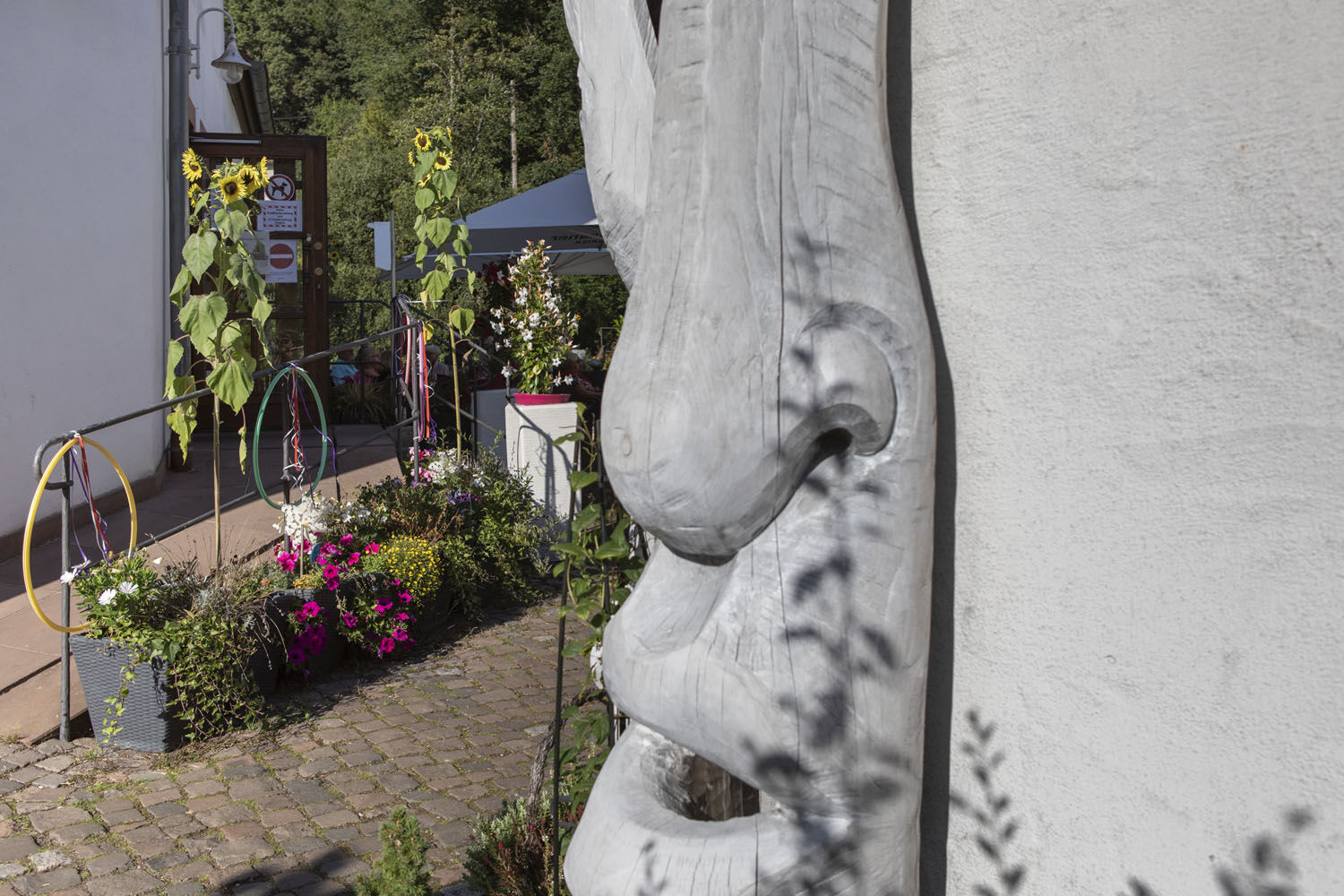
- Brief description
-
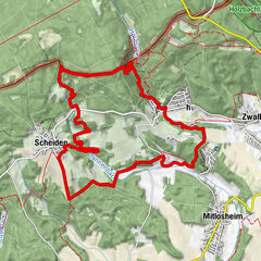
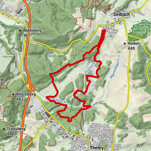
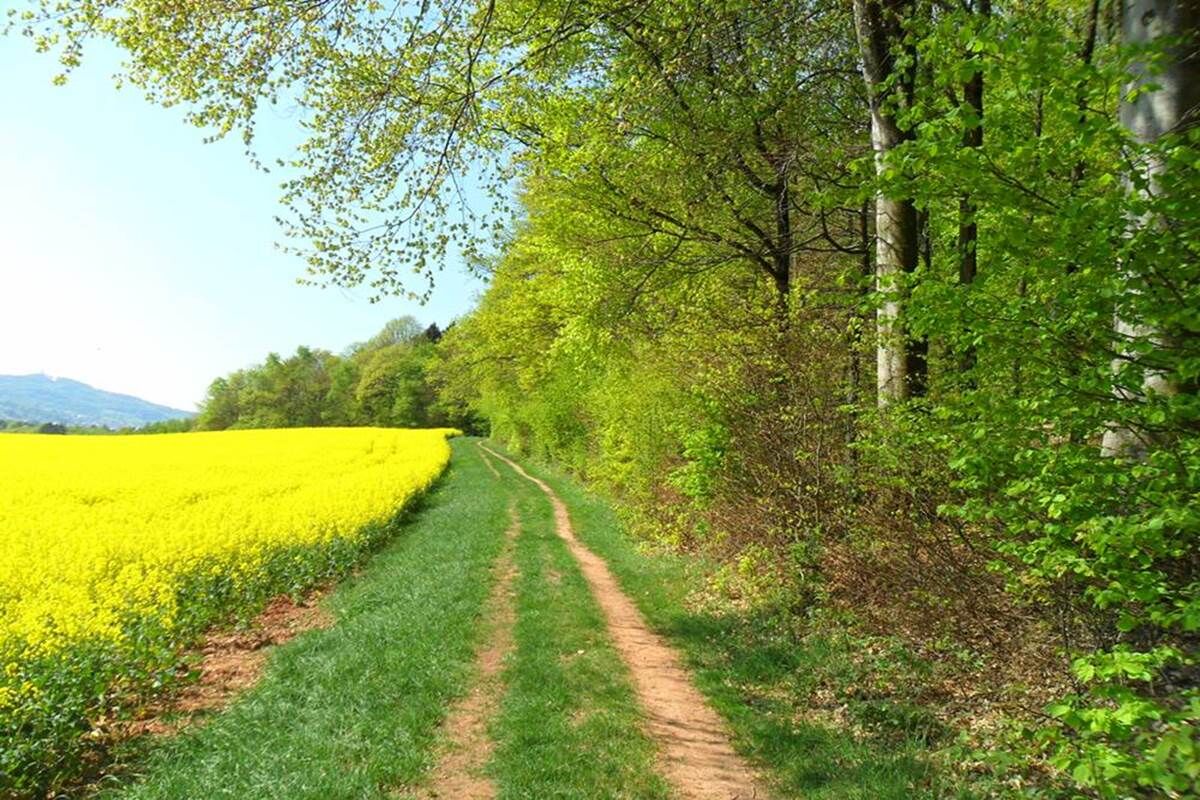
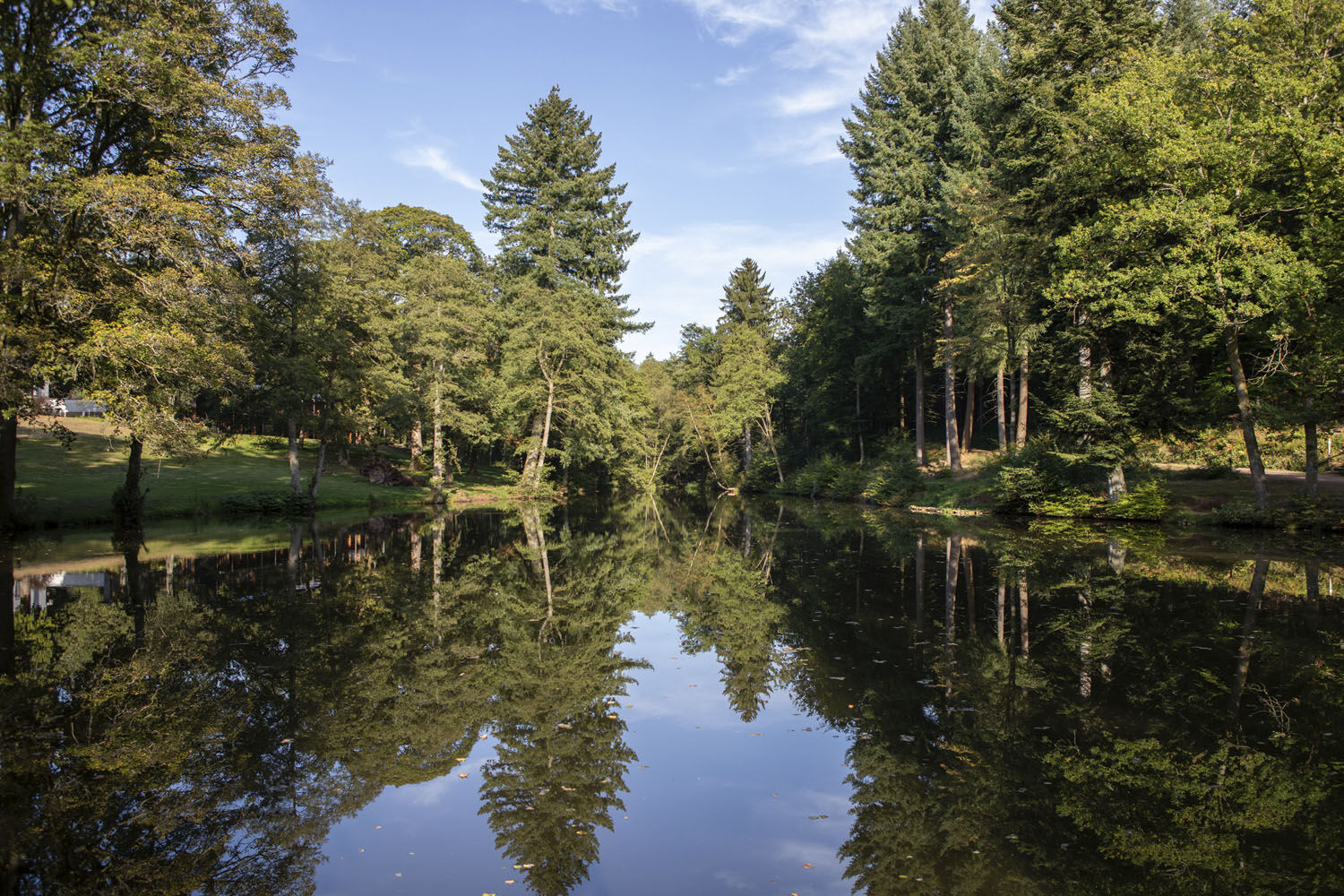
This trail features grand views on the Schaumberger Land region and frequent changes between forest and open country. Don’t miss the old boundary stones marking the border between the former ‘Saargebiet‘ and German Reich which you’ll come across along the way.
- Difficulty
-
medium
- Rating
-
- Starting point
-
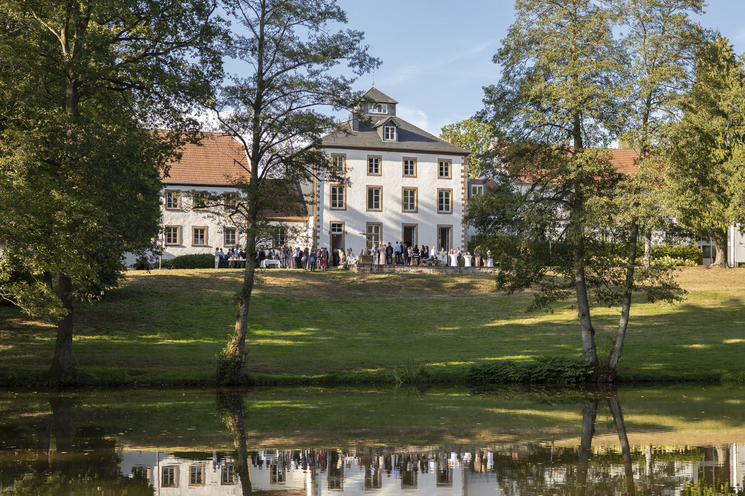
Hofgut Imsbach 1, 66636 Tholey-Theleyund Parkplatz Selbach
- Route
-
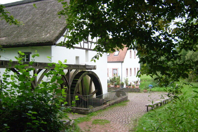
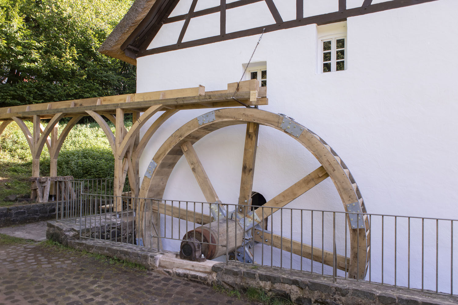
Lapointe0.0 kmImsbachstube0.0 kmHofgut Imsbach0.1 kmBruderborn2.6 kmJohann-Adams-Mühle10.0 kmHofgut Imsbach11.1 kmLapointe11.1 km
- Best season
-
JanFebMarAprMayJunJulAugSepOctNovDec
- Highest point
- 462 m
- Endpoint
-
Parkplatz am Hofgut Imsbach
- Height profile
-
 © outdooractive.com
 - Safety instructions
-
Please note:
Entering the forest and using the hiking trails is always at one’s own risk.
Depending on season and weather individual legs of hiking trails require a particularly sure foot. Therefore, please make sure to wear hiking shoes with rugged soles for traction and clothes that are appropriate for the respective season and weather conditions.
- Directions
-
To get to the starting point at the ‘ Hofgut Imsbach ‘ estate, take the motorway A1. Leave the A1 at exit Nonnweiler-Primstal. Continue to Theley, St.Wendel. Upon reaching Theley leave the L 147 and turn left into the forest (signposted) to the ‘ Hofgut Imsbach ‘ estate .
- Public transportation
-
By train to St. Wendel, then bus 601/610 to Theley, then bus 619 (Mo-Sa) to ‘Johann-Adams-Mühle‘
- Parking
-
At the estate

- Author
-
The tour Officer’s Path is used by outdooractive.com provided.