


- Brief description
-
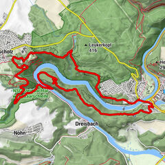
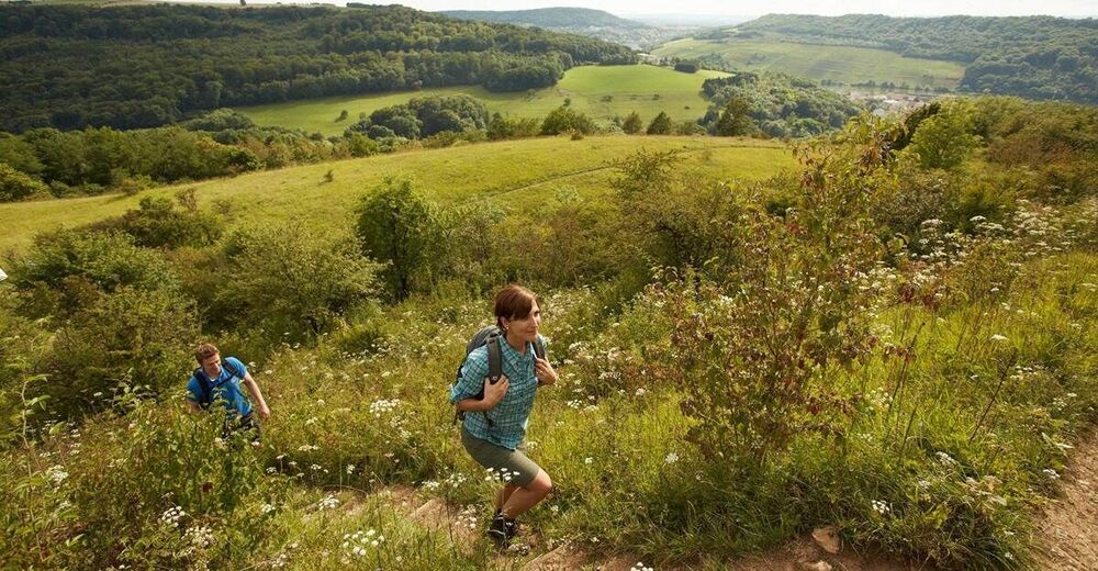
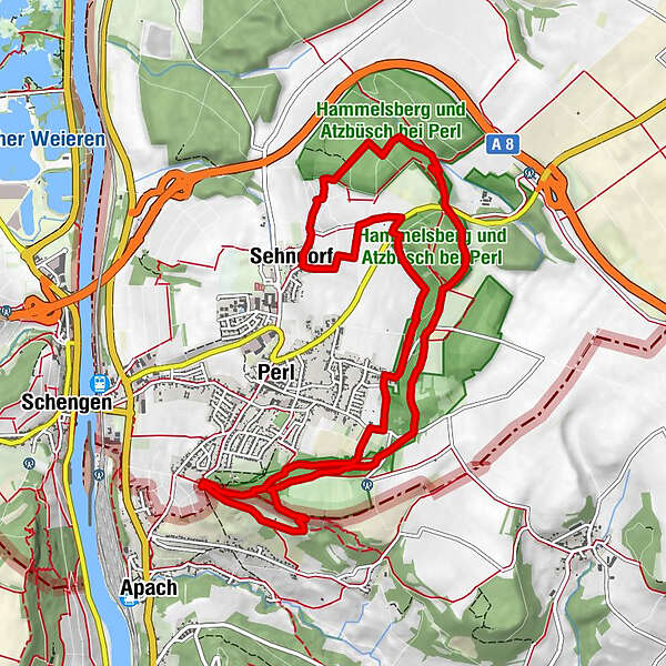
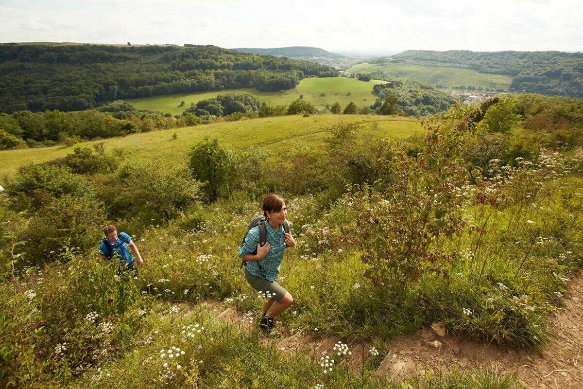
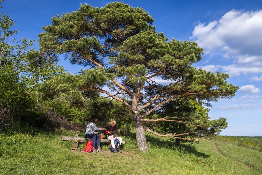
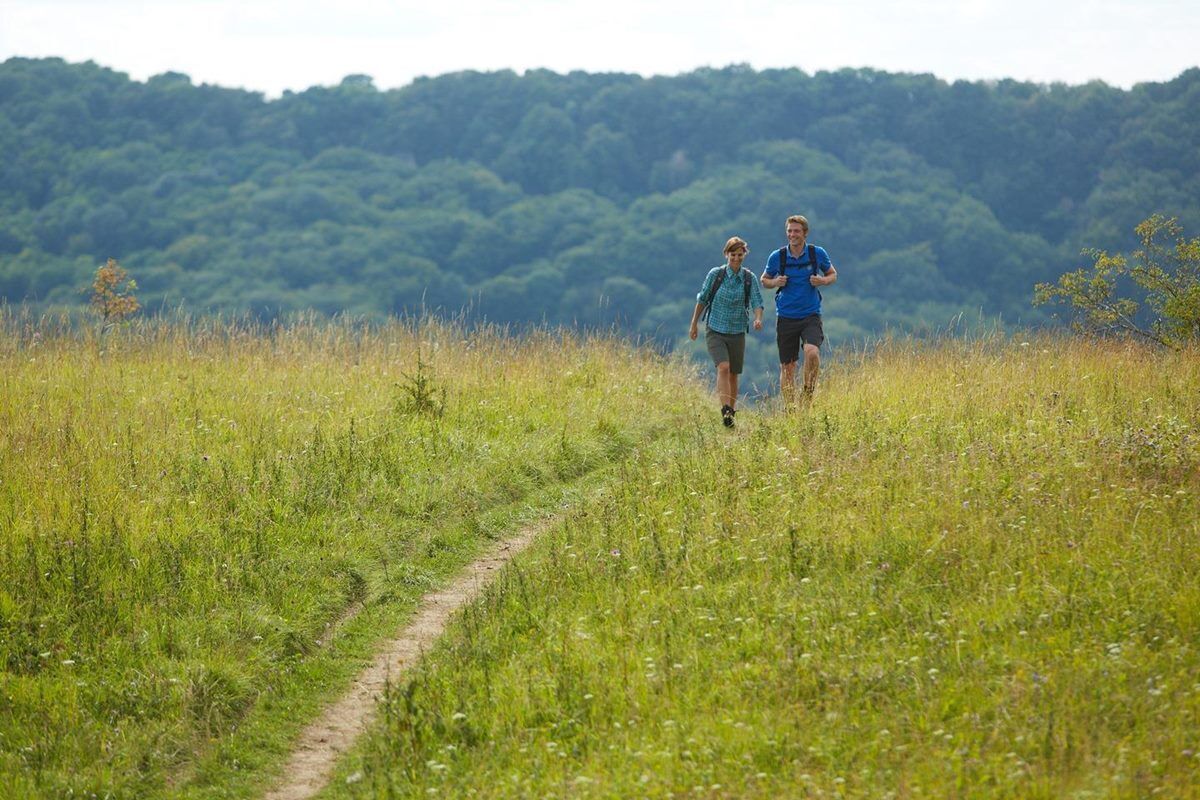
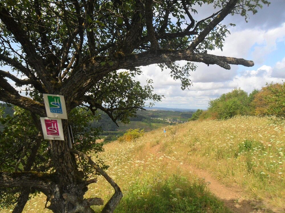
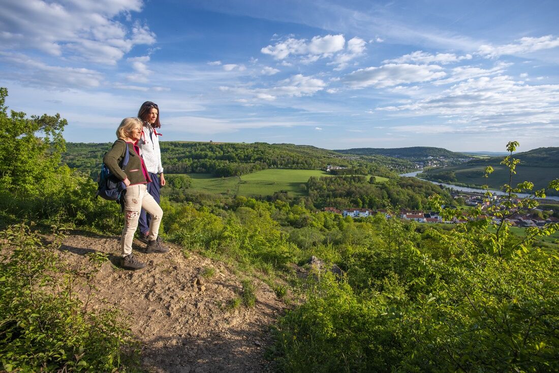
This trail leads through the nature reserve Hammelsberg, featuring rare orchids and forests that are very rich of species. It meanders along the sunny vineyards of Perl from where you’ll be able to enjoy great panoramic views of the Moselle valley, Luxembourg and France.
- Difficulty
-
medium
- Rating
-
- Starting point
-
Hikers‘ carpark ‘Rabüscheck‘ or ‘Aussichtspunkt Dreiländereck‘ (viewpoint at border triangle) in Perl; Rabüscheck 3, 66706 Perl-Oberperl
- Route
-
Perl (254 m)2.4 kmDreiländerblick3.3 kmHammelsberg4.0 kmSehndorf10.3 km
- Best season
-
JanFebMarAprMayJunJulAugSepOctNovDec
- Highest point
- 368 m
- Endpoint
-
Wanderparkplatz „Rabüscheck“
- Height profile
-
 © outdooractive.com
 - Safety instructions
-
Please note:
Entering the forest and using the hiking trails is always at one’s own risk.
Depending on season and weather individual legs of hiking trails require a particularly sure foot. Therefore, please make sure to wear hiking shoes with rugged soles for traction and clothes that are appropriate for the respective season and weather conditions.
- Directions
-
Take the A8, get off at exit Perl-Borg, then continue on B407 to Perl
- Public transportation
-
By train from Trier to Perl or bus 210 to Merzig, get off at Oberperl or Perl Central, rest walking
- Parking
-
Hikers‘ carpark ‘Rabüscheck‘ near Perl


- Author
-
The tour Panorama Path Perl is used by outdooractive.com provided.


General info
-
Moselle
244
-
Region Mosel
447
-
Schengen
63