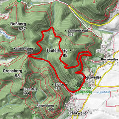
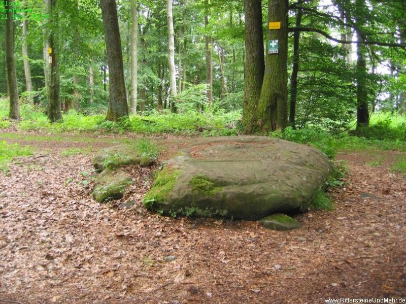
© Pfälzerwald-Verein Böchingen - Thomas Jutzy
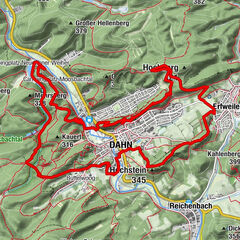
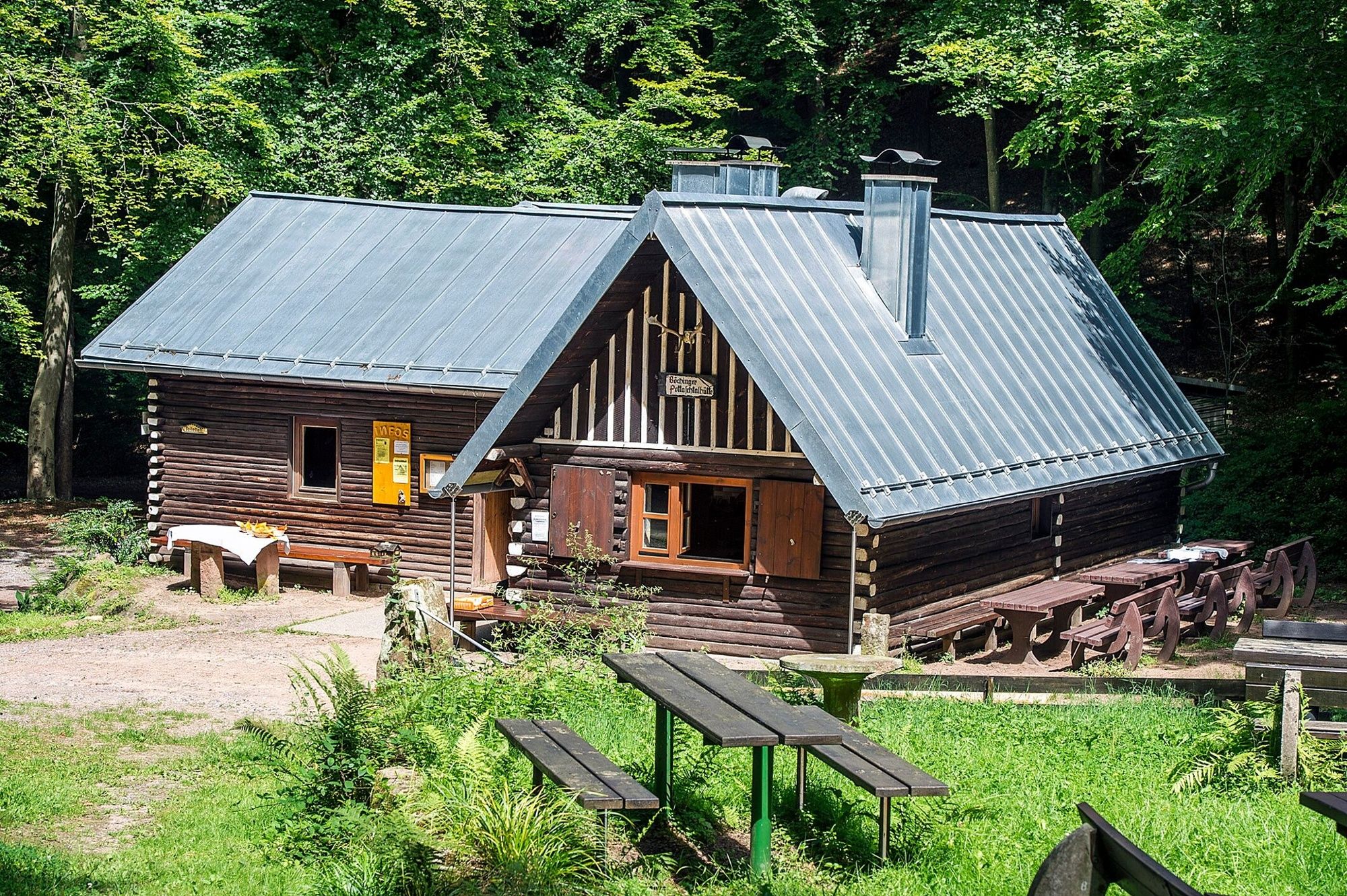
© Pfälzerwald-Verein Böchingen - Thomas Jutzy
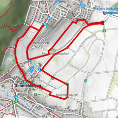
© Pfälzerwald-Verein Böchingen - Thomas Jutzy
© http://www.tourenwelt.info
- Brief description
-
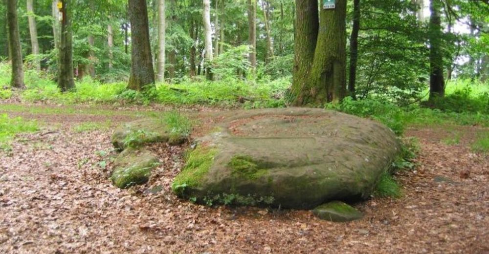
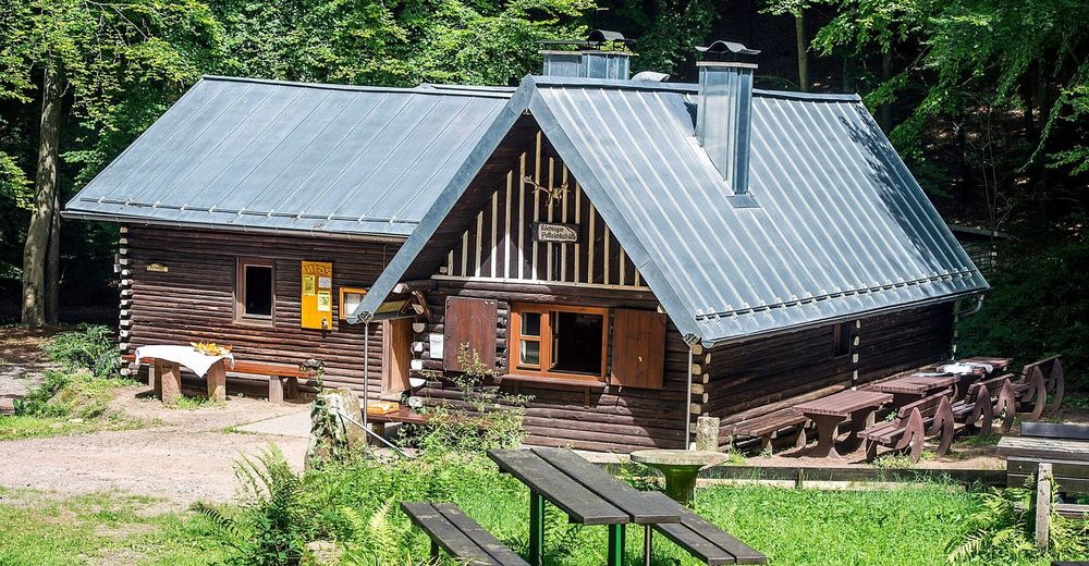
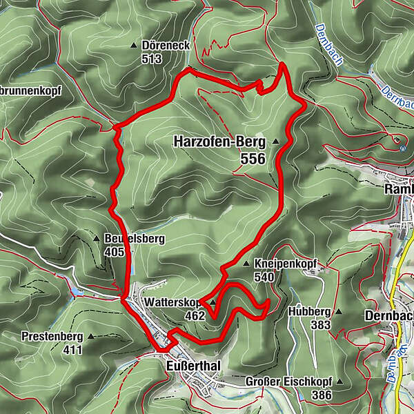
Von Eußerthal über den Schwörstein zur Böchinger Hütte im Pottaschtal
- Route
-
Birkental1.3 kmPottaschtal3.6 kmPottaschbrunnen3.6 kmPottaschtalhütte3.9 kmWatterskopf (462 m)9.3 kmEußerthal11.3 kmKerweplatz12.0 km
- Highest point
- 518 m
- Height profile
-
 © outdooractive.com


- Author
-
The tour Eine Felsplatte mit Geschichte: der Schwörstein is used by outdooractive.com provided.
GPS Downloads


Other tours in the regions
-
Pfalz
1512
-
Trifelsland
1061
-
Edenkoben
458