
- Brief description
-
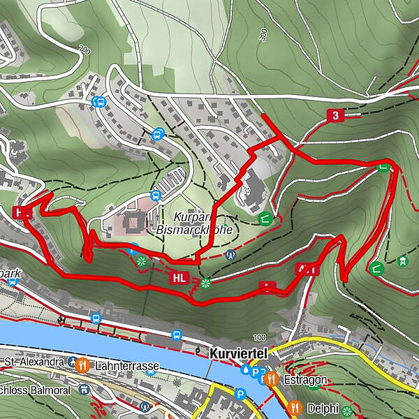
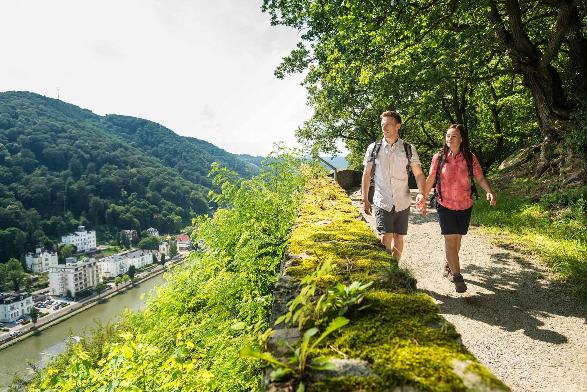
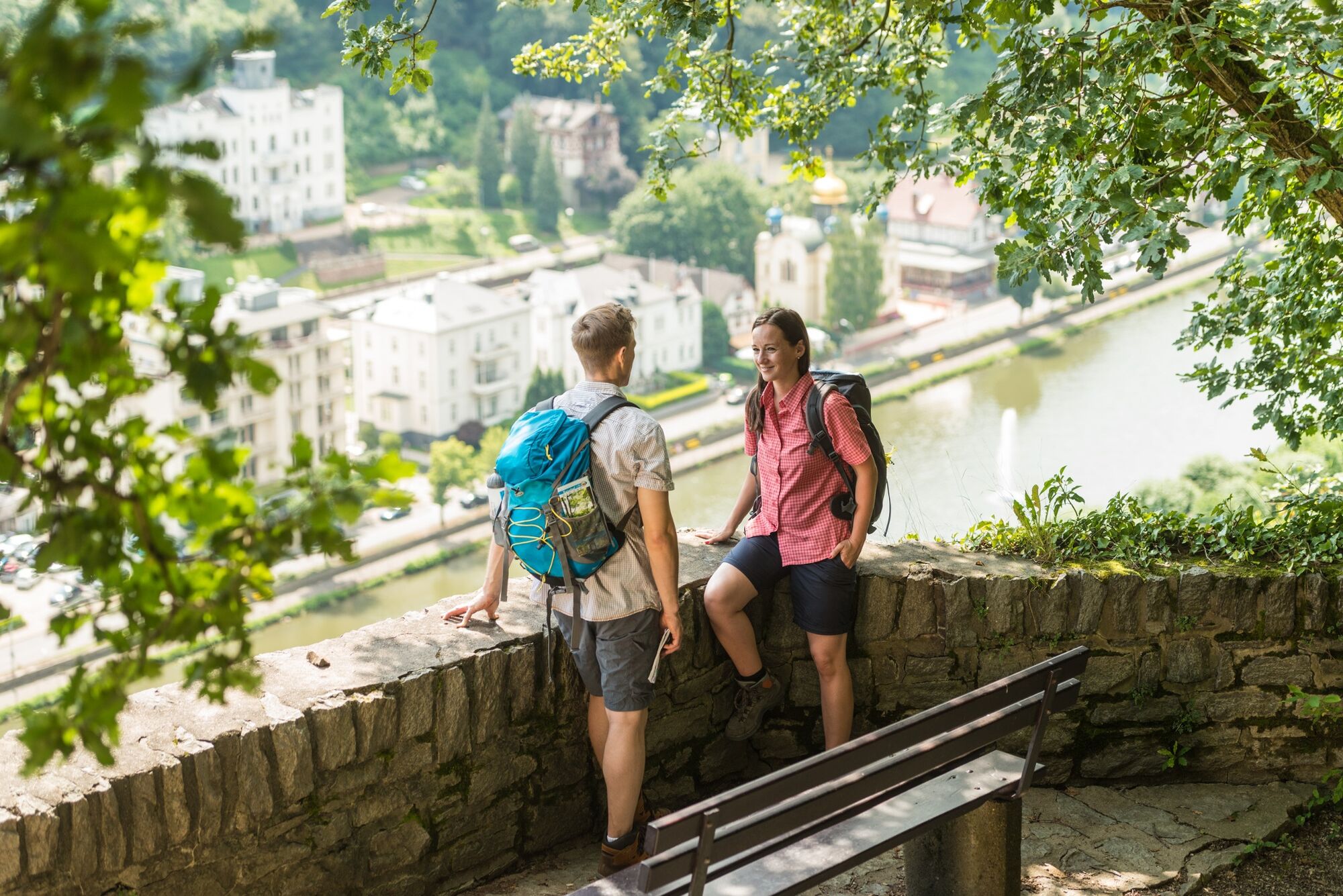
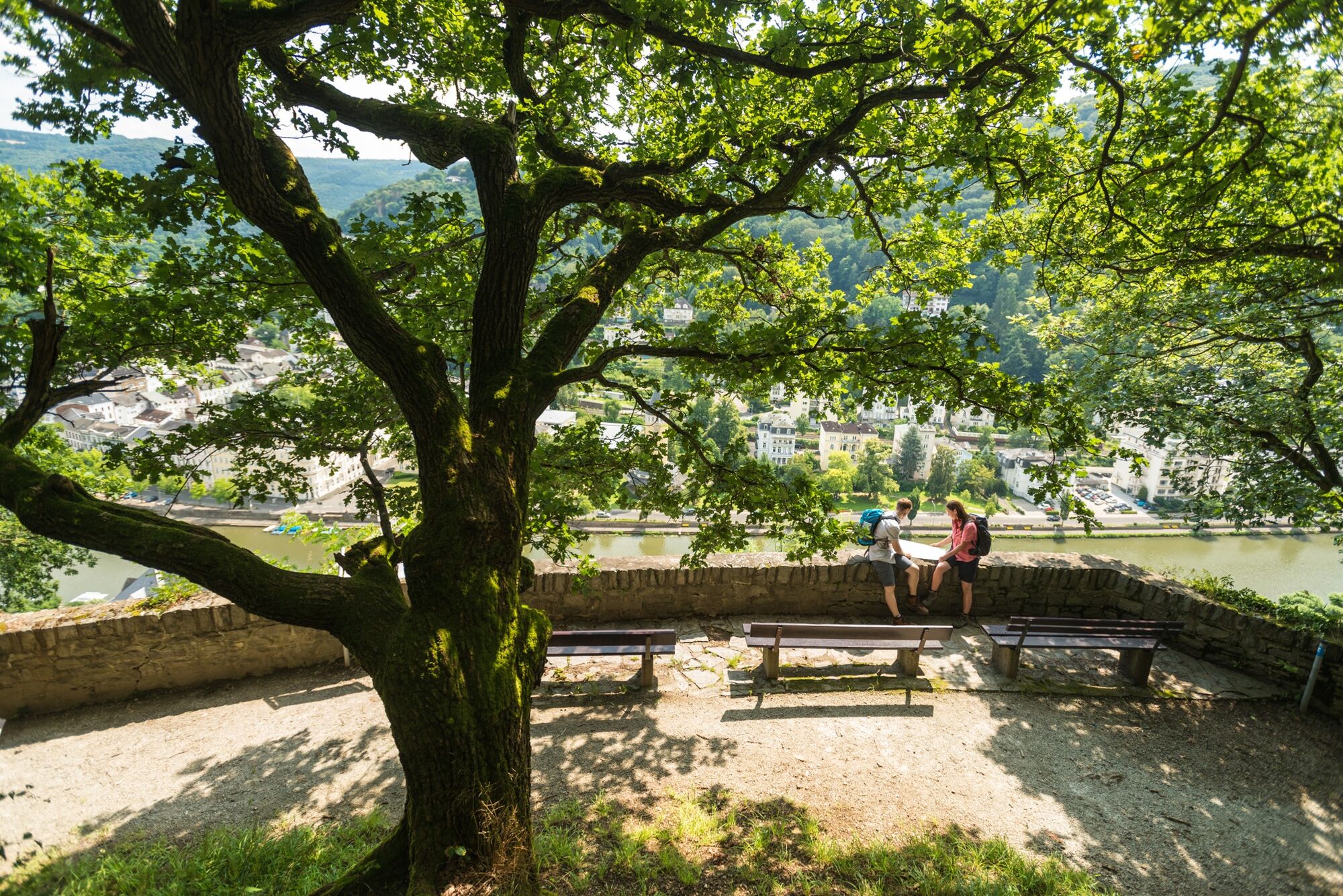
This circular route on the Bismarckhöhe is ideal for a short hike or a long walk. With moderate inclines you can “get a taste” of the hiking area above Bad Ems, while the views of the Kaiserbad in the valley are impressive.
- Difficulty
-
easy
- Rating
-
- Starting point
-
Trümmerborn car park
- Route
-
Kurviertel1.3 kmAussichtskanzel Ernst-Vogler-Weg1.4 kmBad Ems2.1 kmMargaretenhöhe2.5 km
- Best season
-
JanFebMarAprMayJunJulAugSepOctNovDec
- Description
-
This circular route on the Bismarckhöhe is ideal for a short hike or a long walk. With moderate inclines you can “get a taste” of the hiking area above Bad Ems, while the views of the Kaiserbad in the valley are impressive. If you want, you can also take the Kurwaldbahn up to the Bismarckhöhe and start the hike from the mountain station.
- Directions
-
Places of interest/views:
Roman palisades, lookout pulpit on Ernst-Vogler Weg, "subway" Kurwaldbahn, Bismarck Tower
- Highest point
- 263 m
- Endpoint
-
Trümmerborn car park
- Height profile
-
 © outdooractive.com
 - Tips
-
Refreshments:
Café-Restaurant Bismarck`s, Taunusallee 13, 56130 Bad Ems, Tel. 02603-508282, www.bismarcks.de no day off - Additional information
- Directions
-
By car from Koblenz via the B260 to Bad Ems, continue in the direction of clinics
- Public transportation
-
By train from Koblenz or Limburg to Bad Ems Hauptbahnhof
- Parking
-
Trümmerborn car park (free)
- Author
-
The tour Bismarck Round is used by outdooractive.com provided.