- Brief description
-
The patron saint of the small community of Ellscheid gives his name to this HeimatSpur.
- Difficulty
-
easy
- Rating
-
- Starting point
-
Community centre Ellscheid, Büchelweg 12, 54552 Ellscheid
- Route
-
Ellscheid0.0 kmGeflügelhof und Landgasthaus Janshen0.4 kmEllscheider Maarblick1.2 kmDorfblick1.8 kmRastplatz Heidewies4.1 kmSaxler8.5 kmSt. Wendelinus8.6 kmEllscheid11.5 km
- Best season
-
JanFebMarAprMayJunJulAugSepOctNovDec
- Description
-
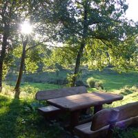
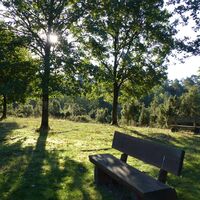
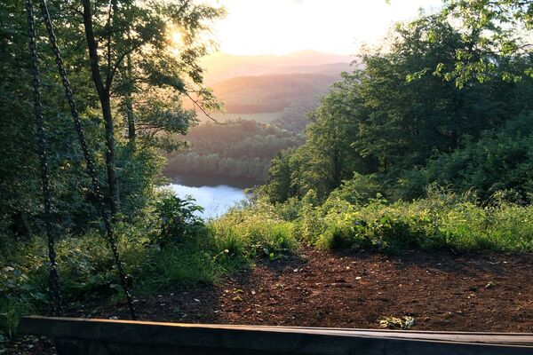
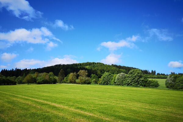
The HeimatSpur starts in Ellscheid. As soon as the small village is left, the hiker already has the wonderful nature with great views at his feet. Shortly afterwards, the trail leads into a forest. Due to its demanding ups and downs, this section of the trail requires some physical fitness. As soon as the route leaves the forest passage again, the "Mürmes" nature reserve is reached. A wonderful piece of land that invites you to linger and relax. If you are very quiet, you might spot a rare bird or two. You then return to Ellscheid through the small Eifel village of Saxler.
You will find the connection to the HeimatSpur Appoloniaweg "AP" on the way.
Highlights along the way:
• 0.0 km Ellscheid bronze figures
• 1.3 km Ellscheid view of the maar
• 7.5 km Mürmes
Hiker-friendly hosts:
You can easily search for the hiking-friendly hosts of the Vulkaneifel at GesundLand Vulkaneifel GmbH according to your wishes and also book them online. Find a room now!
- Directions
-
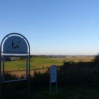
The walk is sufficiently signposted with a logo.
White writing on a green background.
You will also find the logo in the photo gallery.
- Highest point
- 491 m
- Endpoint
-
Community centre Ellscheid, Büchelweg 12, 54552 Ellscheid
- Height profile
-
© outdooractive.com
- Equipment
-
• A filled backpack and sturdy shoes are recommended
• Walking sticks may be useful
• Clothing depending on the weather
- Safety instructions
-
• Stay on the marked hiking trails
• Stay away from steep edges and rock faces (danger of falling)
• Keep an eye on your children if necessary
• Small steps and a steady pace save energy uphill and are easy on the joints downhill
• Take something to drink with you; drinking is important even when you are not thirsty
• And: Please keep nature clean
- Tips
-
Hiking without luggage!
GesundLand Vulkaneifel GmbH will be happy to put together an individual hiking tour for you including hotel and luggage transfer.
- Additional information
- Directions
-
Please use the navigable start address in the Parking section to enter in your navigation device. Or use the >> online journey planner at the end of the stage description.
- Public transportation
- Parking
-
Community centre Ellscheid, Büchelweg 12, 54552 Ellscheid
-

-
AuthorThe tour HeimatSpur Antoniusweg is used by outdooractive.com provided.
General info
-
Mosel-Saar
1076
-
Vulkaneifel
587
-
Gillenfeld
200


