- Brief description
-
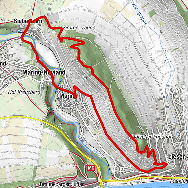
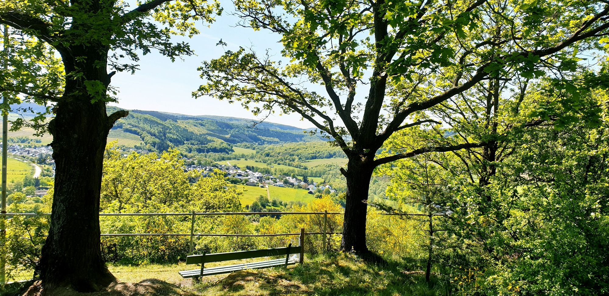
Round trip of 7.2 kilometres in length. The panoramic hike is suitable for families and children. At the highest point you can see the Liestertal, through which the Moselle flowed in primeval times.
- Difficulty
-
easy
- Rating
-
- Starting point
-
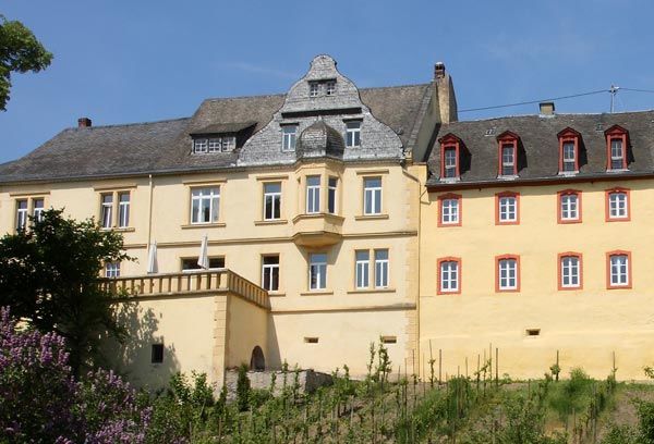
Kloster Siebenborn, Im Siebenborn 2, 54484 Maring-Noviand
- Route
-
SiebenbornMaring-Noviand0.6 kmMaring1.0 kmLieser3.0 kmMaring-Noviand6.1 kmSiebenborn6.9 km
- Best season
-
JanFebMarAprMayJunJulAugSepOctNovDec
- Description
-
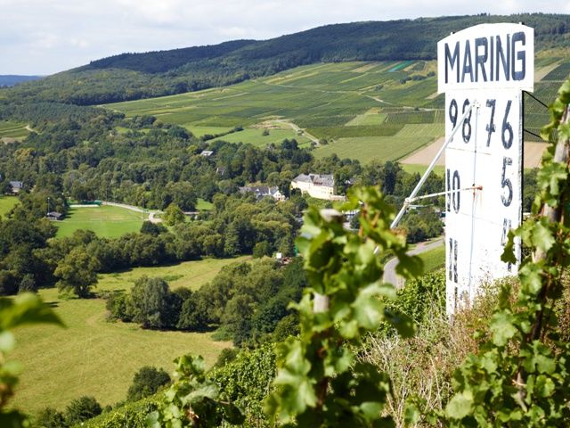
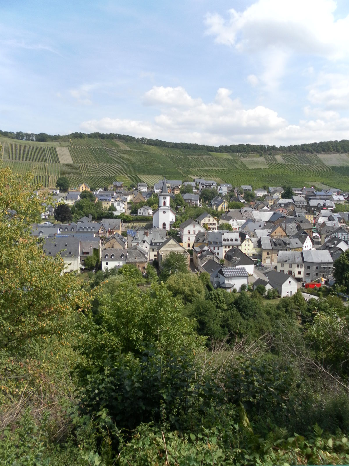
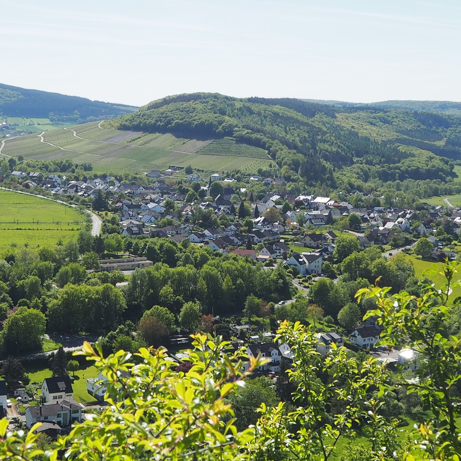
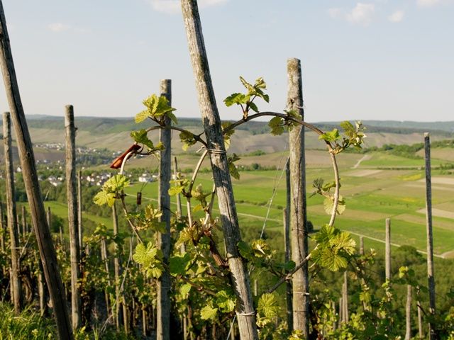
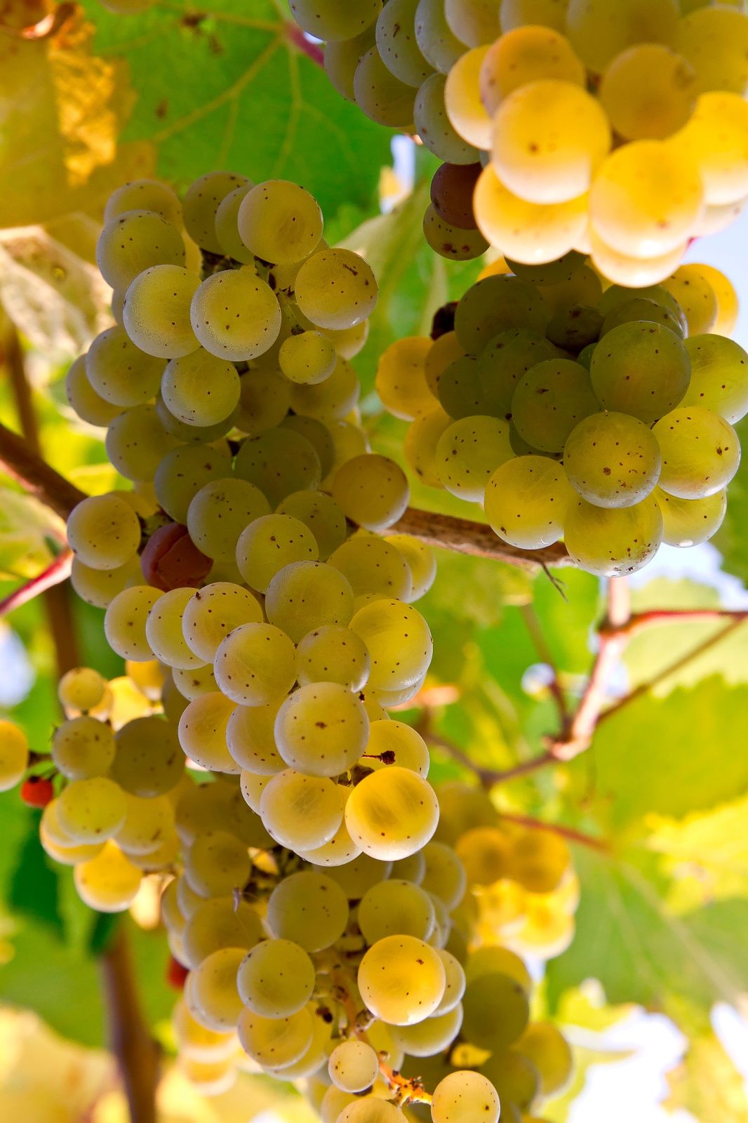
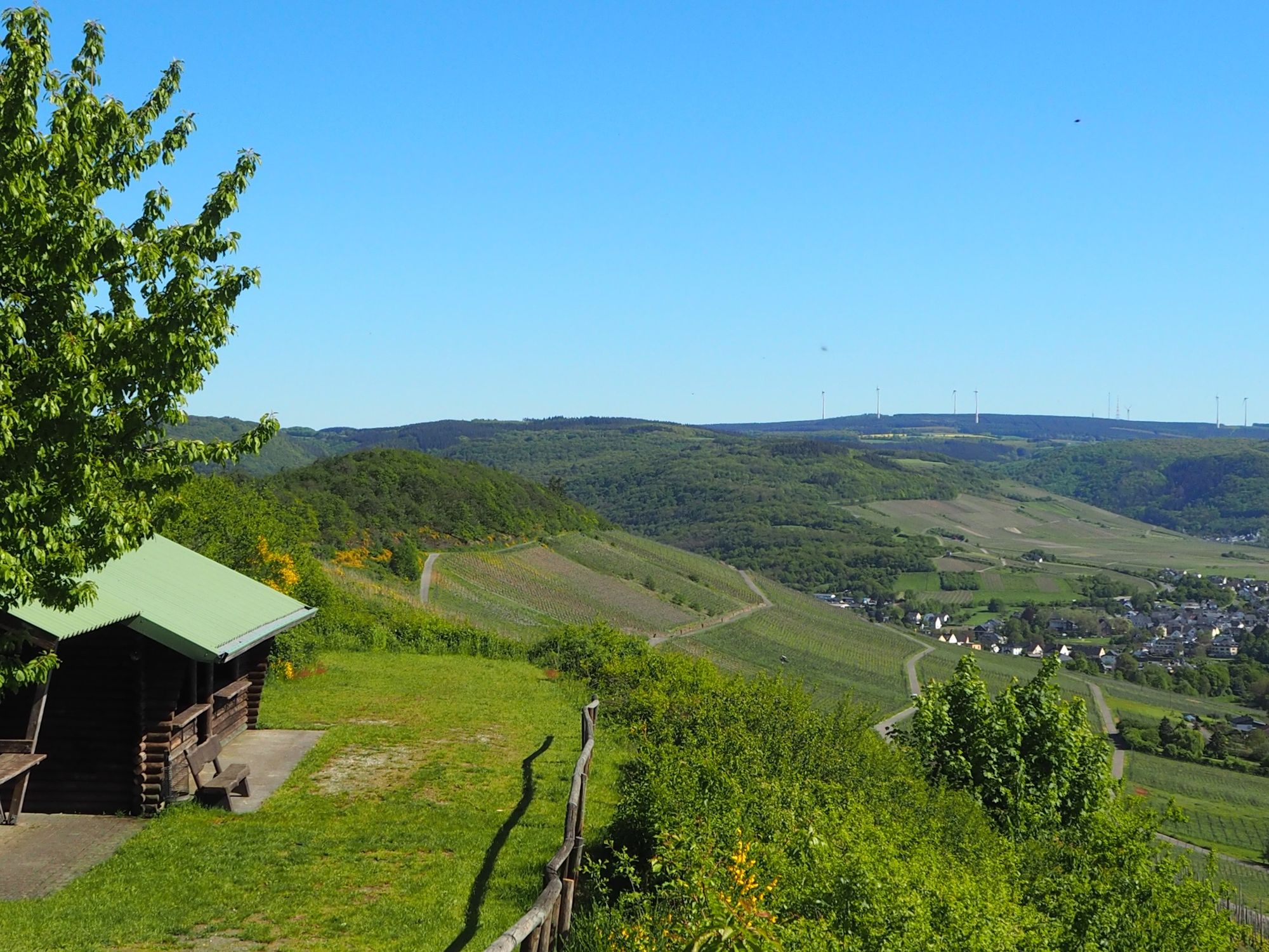
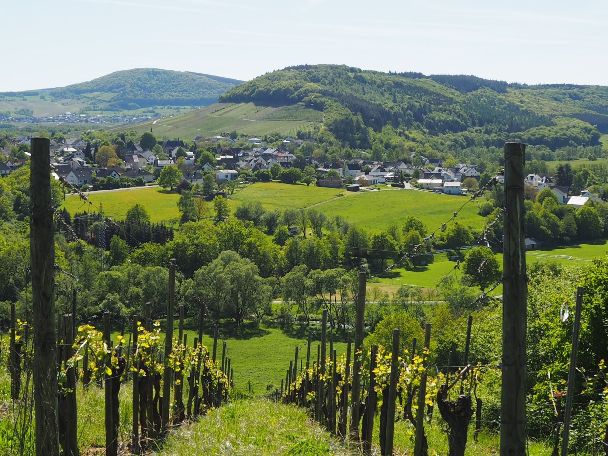
A beautiful circular trail on wide paths, which mostly leads through the vineyards around Maring-Noviand. The hiking tour is also suitable for families with children and less experienced hikers.Insights into the hiking tour:Starting from the Klosterhof Siebenborn, the honey mountain tour in Maring-Noviand has vineyards and beautiful views to offer. At the highest point the hiker looks over the Liesertal, through which the Moselle once flowed before times. There are also views over gentle hills far into the region. The trail network consists of vineyard, forest and meadow paths.
- Directions
-
From the car park at the Siebenborn monastery farm the trail starts through the Liesertal. Via "Wittlicher Straße" you turn left into Trier Straße, which then becomes Moselstraße. At the level of the children's playground, turn left into "Weingartenstraße" and then right into the vineyards of the Honigberg. Further on the path leads you through various vineyards. Views over the Liesertal, the village of Maring- Noviand and far into the Moselle valley make the tour eventful. At one point you can feel the characteristic features of the typical Moselle slate stone up close, because here the rock protrudes very closely into the path.At the end of the Weinbergweg you turn left - along a residential area - slightly uphill. Above the vineyards you walk into the Wittlicher Tal. Below the sports field you continue in a straight line. The Weinbergweg turns into a forest path. If you would like to rest, there is an excellent opportunity at the Maringer refuge. Passing a small chapel, the so-called "little trinity", you walk again in the direction of the Klosterhof Siebenborn. Along fields and pastures you hike into the valley. To the left, you pass a farm and take the road that leads back to the Klosterhof.
- Highest point
- 234 m
- Endpoint
-
Kloster Siebenborn, Im Siebenborn 2, 54484 Maring-Noviand
- Height profile
-
 © outdooractive.com
 - Equipment
-
Hiking and trekking shoes, as well as rucksack provisions for on the way.
- Safety instructions
-
Nice wide paths, everything very clear. "Normal" hiking or trekking shoes are sufficient.
- Tips
-
At the end of the tour you can stop for a snack at the monastery mill in Siebenborn. Otherwise pack your rucksack - there will certainly be a nice place to rest on the way.
- Additional information
-
Ferienland Bernkastel-Kues
Gestade 6
54470 Bernkastel-Kues
Phone: (0049) 6531/50019-0Tourist information Maring-Noviand
Serginer Platz 3
54484 Maring-NoviandTelefon
Phone: (0049) 65 35 / 944 200Tourist information Lieser
Am Markt 43
54470 Lieser
Phoen: (0049) 6531/8746
www.lieser-mosel.de - Directions
-
Coming from Bernkastel-Kues, in the district Kues follow the L47 towards Trier through Lieser, then turn right to stay on Moselstraße. Follow this road to Maring-Noviand.
- Public transportation
- Parking
-
Free parking is available at the sports and playground at the Klosterhofgut Siebenborn.Siebenborn Monastery, Im Siebenborn 2, 54484 Maring-Noviand

-

-
AuthorThe tour Honigberg-Tour in Maring-Noviand at the Moselle is used by outdooractive.com provided.


General info
-
Mosel-Saar
1077
-
Ferienland Bernkastel-Kues
569
-
Wittlich
182