
- Brief description
-
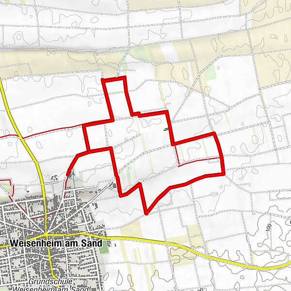
Easy circular trail in the north-east of Weisenheim without ascents with a beautiful view of the village and the vineyards. Can be combined very well with Sandhasenweg 1. Total distance then approx. 8 km.
- Difficulty
-
easy
- Rating
-
- Starting point
-
Car park at the cemetery (Gerolsheimer Straße)
- Best season
-
JanFebMarAprMayJunJulAugSepOctNovDec
- Description
-
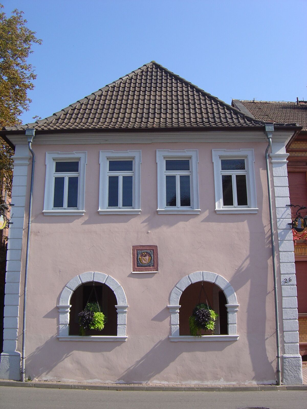
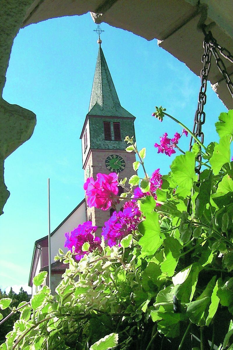
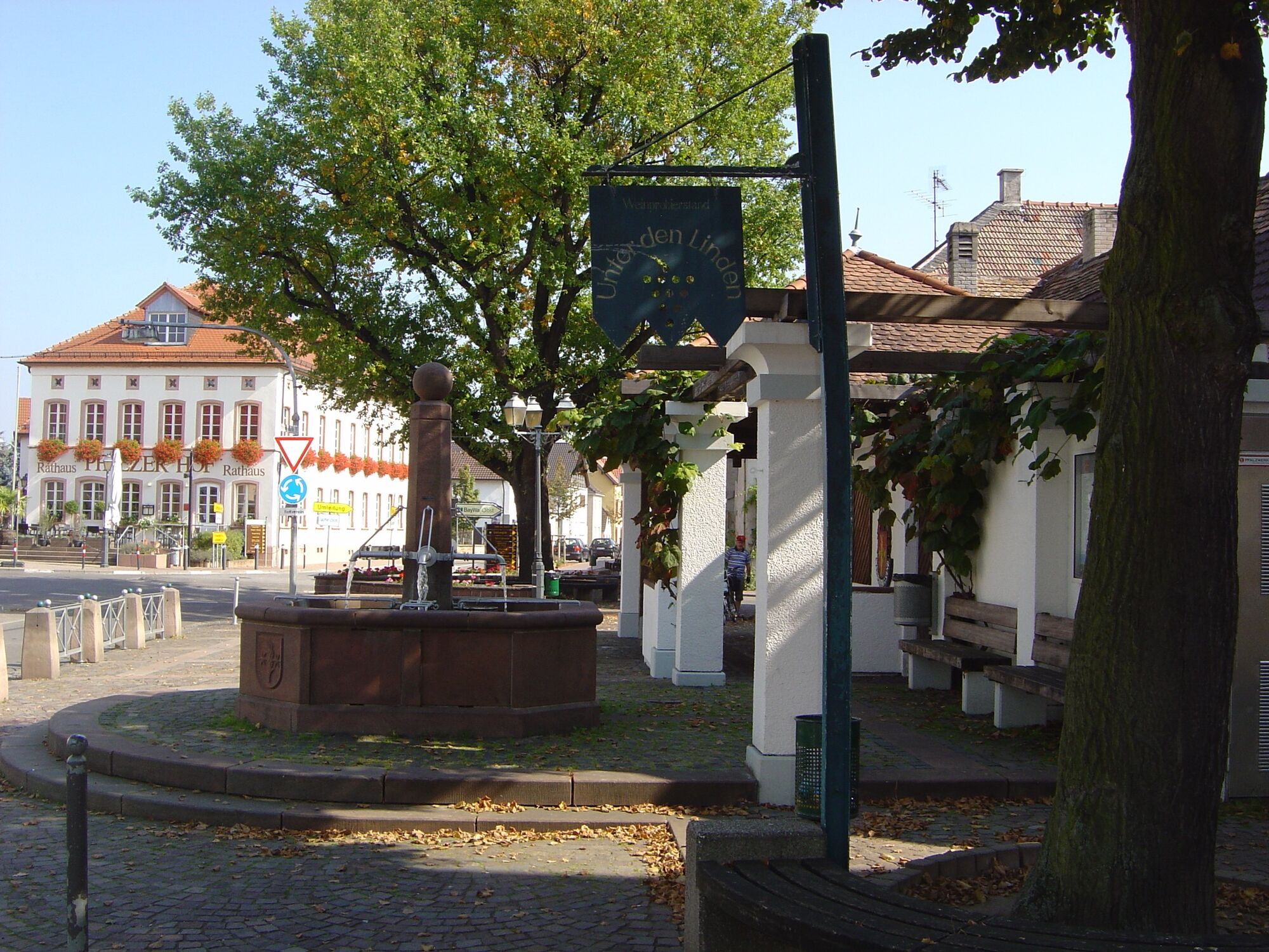
The Sandhas' leads you on the "second" Sandhasenweg through the north-eastern district of Weisenheim am Sand. You will be rewarded on this short excursion with beautiful views of the surrounding area as well as a varied landscape with orchards, vineyards and asparagus fields.
- Directions
-
The starting point is the car park at the cemetery. From here, walk in a north-easterly direction and after approx. 300 m first turn left, then right again after 200 m. The path zigzags through the district of Weisenheim am Sand until it returns to the starting point. The path zigzags through the Weisenheim am Sand district back to the starting point.
- Highest point
- 137 m
- Endpoint
-
Car park at the cemetery (Gerolsheimer Straße)
- Height profile
-
 © outdooractive.com
 - Equipment
-
Sturdy shoes and clothing suitable for the weather.
- Safety instructions
-
The route often runs along so-called farm tracks. These are used for agricultural purposes and are used by tractors and harvesters all year round. We would like to point out that the use of the paths is at your own risk and ask for mutual consideration in the interest of all. The farm tracks may be soiled by agricultural traffic. After rainy days and especially in winter, the paths can be wet and slippery.
- Tips
-
After the tour, the Weisenheim gastronomy is open to you for a stop.
- Additional information
- Directions
-
From the north:
Motorway A6 (Mannheim/Kaiserslautern, exit Grünstadt) direction Bad Dürkheim, on B271 (Deutsche Weinstraße) via Herxheim am Berg to Freinsheim. At the roundabout in the centre of the village, take the 3rd exit (Gerolsheimer Straße) and follow the signs to the cemetery.From the north from Laumersheim / Dirmstein:
Immediately after entering the village, turn left into Friedrichstraße, then immediately left again into Gerolsheimer Straße, follow signs to the cemetery.From the south:
Take the A61 motorway at the Ludwigshafen junction in the direction of Bad Dürkheim. Exit Maxdorf. At the roundabout take the 2nd exit in the direction of Maxdorf. At the next roundabout, take the 2nd exit towards Weisenheim/Sd. Drive up Bahnhofstraße until you reach the roundabout in the centre of the village. Take the 2nd exit (Gerolsheimer Straße) and follow the signs to the cemetery.From the east: from Frankenthal / Lambsheim:
At the roundabout in the centre of the village, take the 1st exit (Gerolsheimer Straße), follow the signs to the cemetery. - Public transportation
- Parking
-
Car park at the cemetery (Gerolsheimer Straße)


- Author
-
The tour Wine walk: Weisenheim am Sand - Sandhasenweg 2 is used by outdooractive.com provided.


General info
-
Pfalz
1512
-
Deutsche Weinstraße
600
-
Freinsheim
194