
- Brief description
-
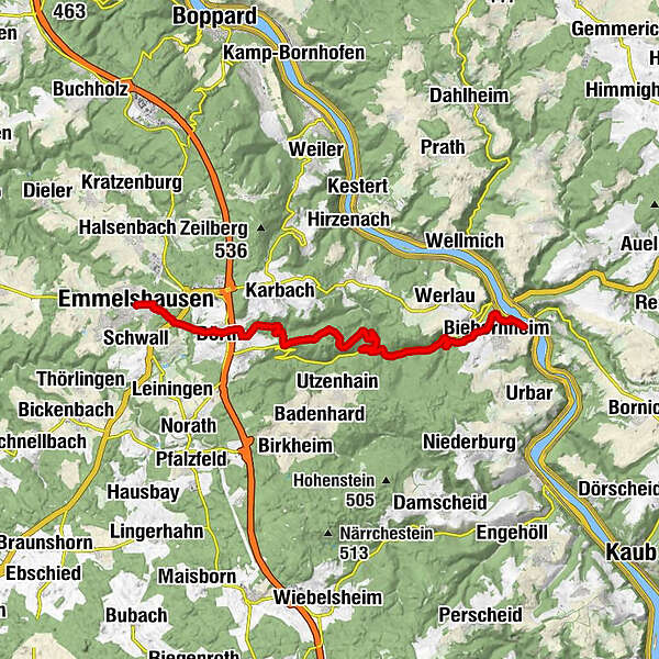
To St. Goar to Rheinfels and Loreley:Emmelshausen - Rhine Heights Trail - Gründelbach Valley - St. Goar/ Rhine - Rheinfels Castle - Loreley
- Difficulty
-
medium
- Rating
-
- Starting point
-
Emmelshausen / Hunsrück
- Route
-
EmmelshausenDörth2.9 kmHungenroth3.7 kmBiebernheim15.0 kmGründelbach15.2 kmAlexanderplatz15.7 kmKatholische Kirche St. Goar und St. Elisabeth16.2 kmStiftskirche St. Goar16.3 kmKD-Anlegestelle St. Goar16.3 kmSankt Goarshausen16.3 kmLohbachwasserfall16.5 kmSankt Goar16.6 km
- Best season
-
JanFebMarAprMayJunJulAugSepOctNovDec
- Description
-
From Emmelshausen in Hunsrück, the hiking route leads via the village of Dörth first to Hungenroth, there via a local hiking trail past the village on the left onto the Rheinhöhenweg (R). Through the Hunsrück forests you reach the valley of the Gründelbach after about 5 km. For 100 m, the hike now follows the L 206 downhill before it can be crossed. A little further down the valley, the trail splits: the tour now leads downhill to the left following the Gründelbach over the Rheinhöhenverbingungsweg (RV), which in the further course still leads up to Rheinfels Castle, once the most powerful castle complex on the Rhine. Destination of the hike is after 16 km or 4 hours walking time first St. Goar/Rhine. On a boat you will enjoy the trip to the Loreley and then down the Rhine through the most beautiful part of the UNESCO World Heritage "Middle Rhine Valley" to Boppard. The Hunsrück Railway brings you back to Emmelshausen every hour on the steepest railroad line north of the Alps.
- Highest point
- 481 m
- Endpoint
-
St. Goar/Rhein
- Height profile
-
 © outdooractive.com
 - Equipment
-
Sturdy shoes are recommended.
- Public transportation
-
Freizeitbus Mittelrhein St. Goar - Emmelshausen
- Parking
-
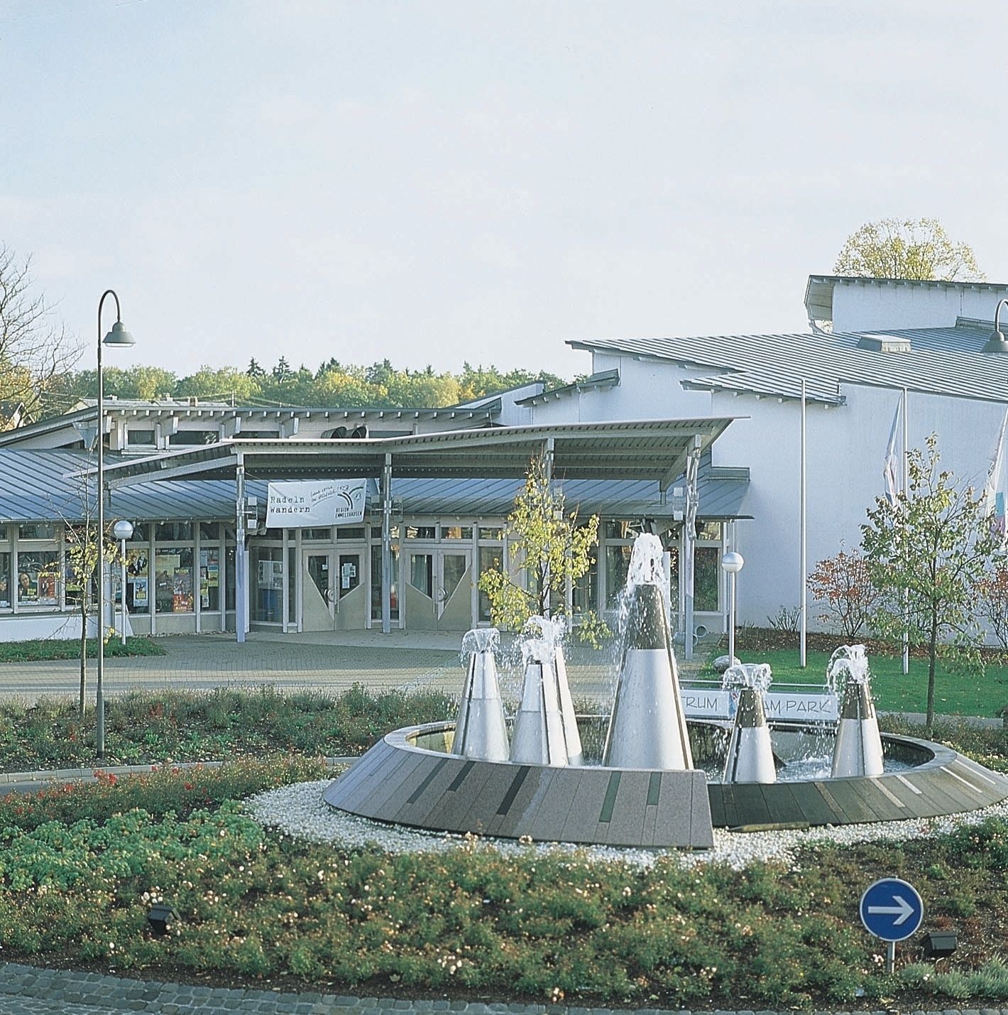
Tourist-Info im ZAP, Rhein-Mosel-Str. 45, 56281 Emmelshausen


- Author
-
The tour Emmelshausen - St. Goar is used by outdooractive.com provided.


General info
-
Romantischer Rhein
1051
-
Hunsrück-Mittelrhein
545
-
Kestert
171