
- Brief description
-
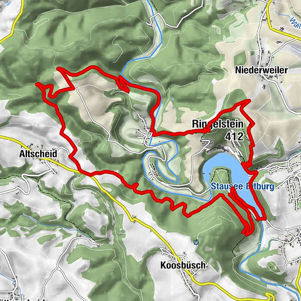
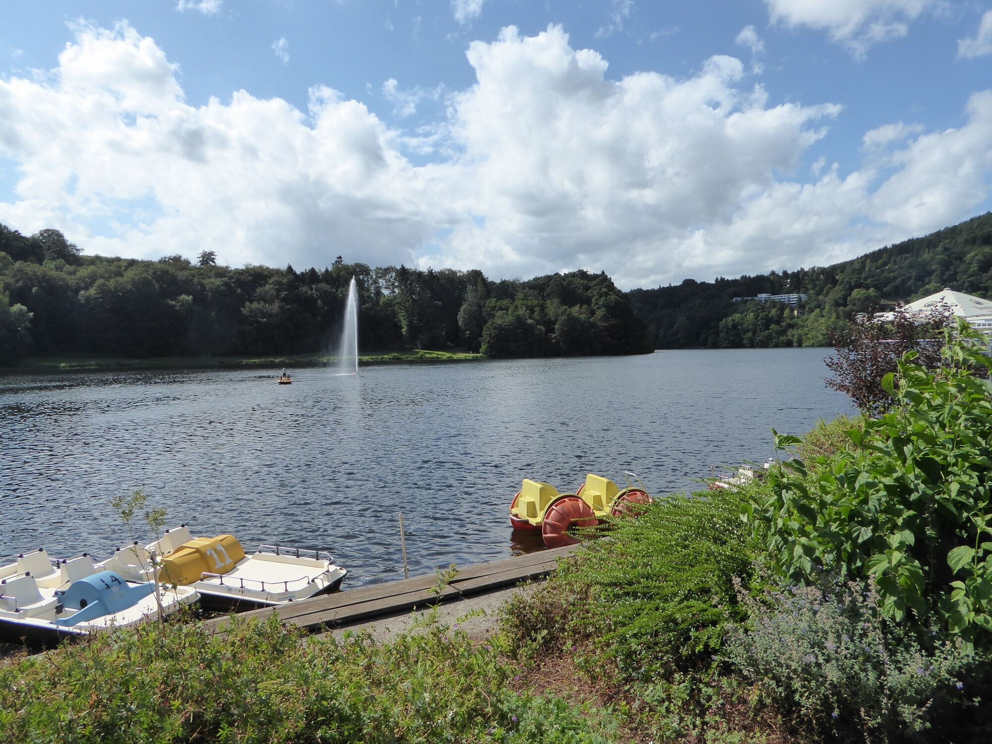
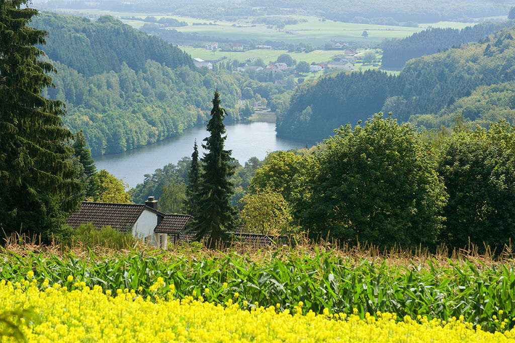
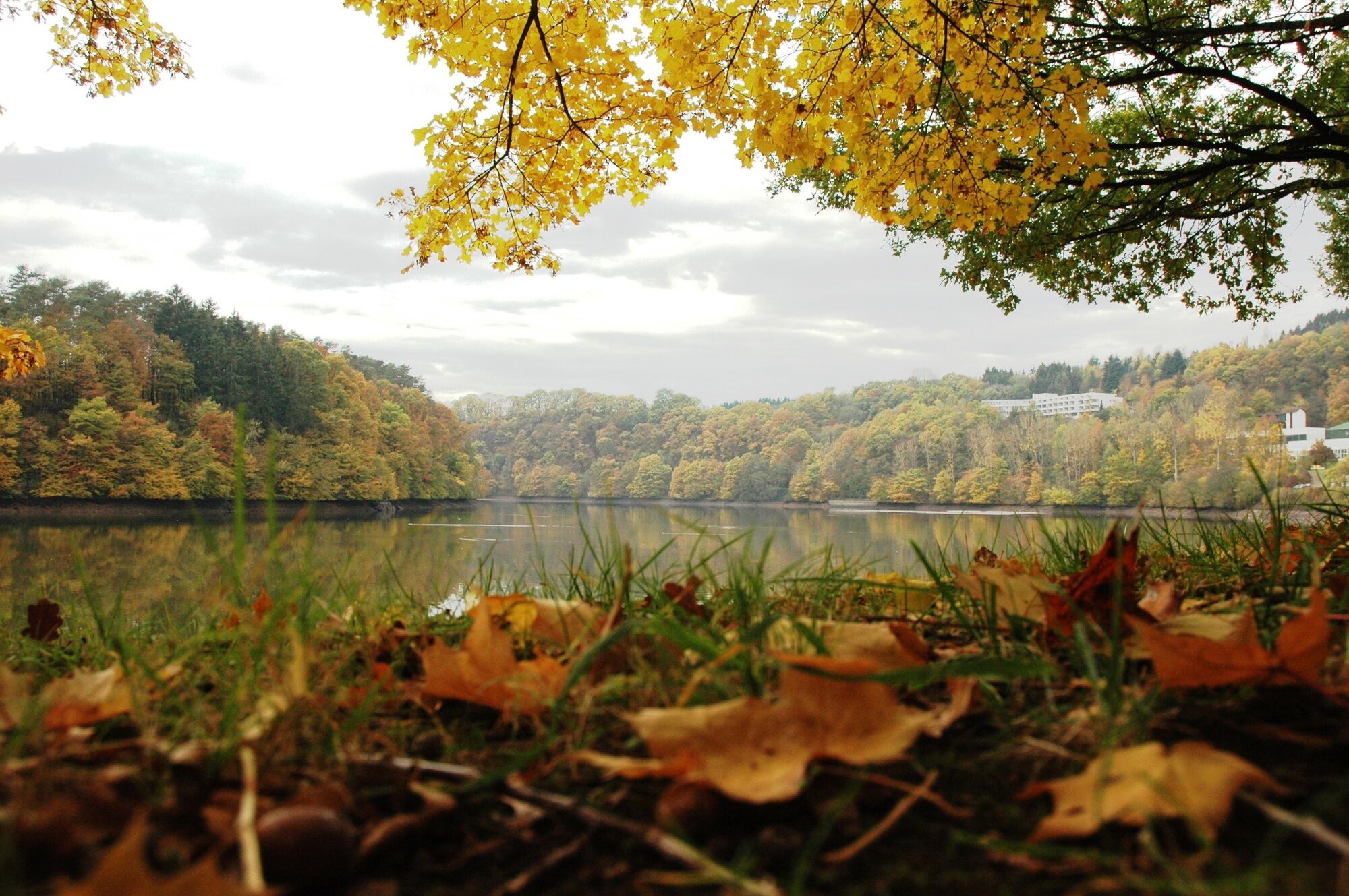
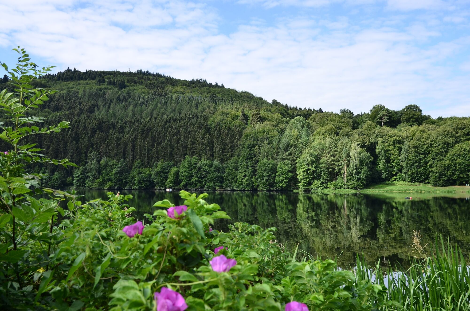
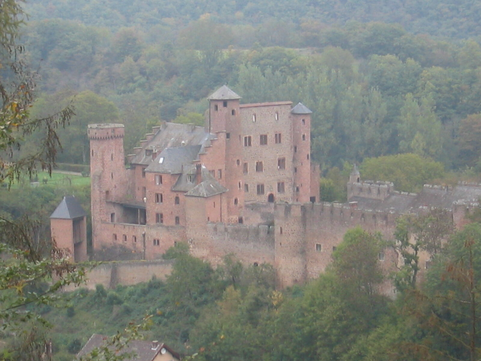
The Stausee-Prümtal (reservoir-Prüm valley) route offers everything that makes hikers’ hearts beat faster - and not only because of the occasional steep climb! A notable attraction is the Bitburg reservoir with its water sports opportunities. Framed by radiant red sandstone rocks, the reservoir promenade offers an opportunity for a leisurely stroll. The Prüm valley with its attractive scenery is characterised by wonderful river bends, or “meanders”. The area is home to beavers and mouflons. The idyllic tranquillity is interrupted only by the almost musical burbling of the Prüm itself. The Hammer Büsch presents itself as an open hillside wood with a wonderful view out onto the Schloss Hamm palace. The climb up the Burbesberg hill is the high point of the tour in the truest sense of the word. From here, the view stretches out to the Erbeskopf and Idarkopf hills in Hunsrück.
- Difficulty
-
medium
- Rating
-
- Route
-
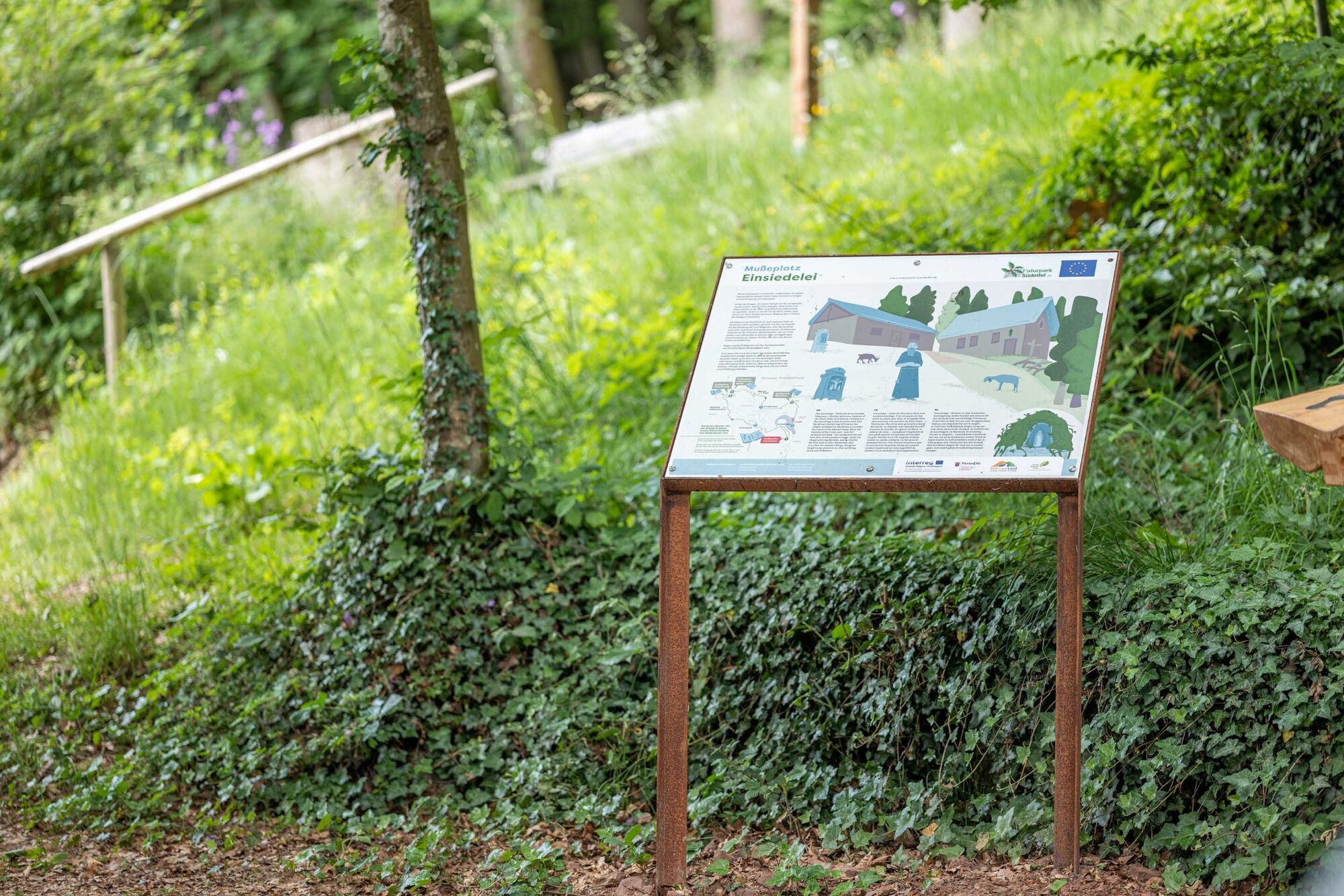
Einsiedelei2.7 kmHamm6.2 kmEchtershausen13.6 kmRingelstein (412 m)16.3 kmPizzeria Romana17.8 km
- Best season
-
JanFebMarAprMayJunJulAugSepOctNovDec
- Description
-
Highlights
Stausee Bitburg mit Bootsverleih, Angelmöglichkeit und Liegewiese herrliche Aussicht auf Schloss Hamm Landschaftlich reizvolles Dürrbachtal und Prümtal Aussichtspunkt "Burbesberg" und "Ringelstein"mit phantastischen Weitsichten - Highest point
- 458 m
- Endpoint
-
Da es eine Rundtour ist, sind die Zielpunkte mit dem jeweiligen Startpunkt identisch: / Wanderparkplatz, 54636 Biersdorf am See, Zur Rotlay: / GPS: 50°01'00.0"N , 06°26'25.6"O
- Height profile
-
 © outdooractive.com
- Author
-
The tour NaturWanderPark delux: Stausee-Prümtalroute (Biersdorf am See) is used by outdooractive.com provided.


General info
-
Eifel/ Rheinland-Pfalz
1056
-
Bitburger Land
473
-
Arzfeld
104