© Zweckverband Naturpark Südeifel - Thomas Kirchen

© Zweckverband Naturpark Südeifel - Thomas Kirchen

© Zweckverband Naturpark Südeifel - Thomas Kirchen


- Brief description
-
Hinauf und hinab durch das Enz- und das Prümtal, durch Wald und Streuobstwiesen führt der Weg, und phantastische Panoramablicke belohnen steilere Anstiege.
- Difficulty
-
medium
- Rating
-
- Route
-
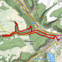
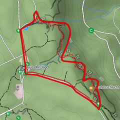
Holsthum3.0 kmFelsbachquelle5.0 kmSchankweiler11.4 km
- Best season
-
JanFebMarAprMayJunJulAugSepOctNovDec
- Highest point
- 396 m
- Endpoint
-
Start und Ziel sind bei der Rundtour identisch.
- Height profile
-
 © outdooractive.com

- Author
-
The tour NaturWanderPark delux: Klausnerweg (Holsthum) is used by outdooractive.com provided.
GPS Downloads


General info
Refreshment stop
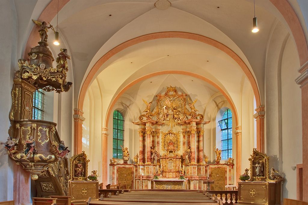
Cultural/Historical
Flora
A lot of view
Other tours in the regions
-
Eifel/ Rheinland-Pfalz
1056
-
Bitburger Land
475